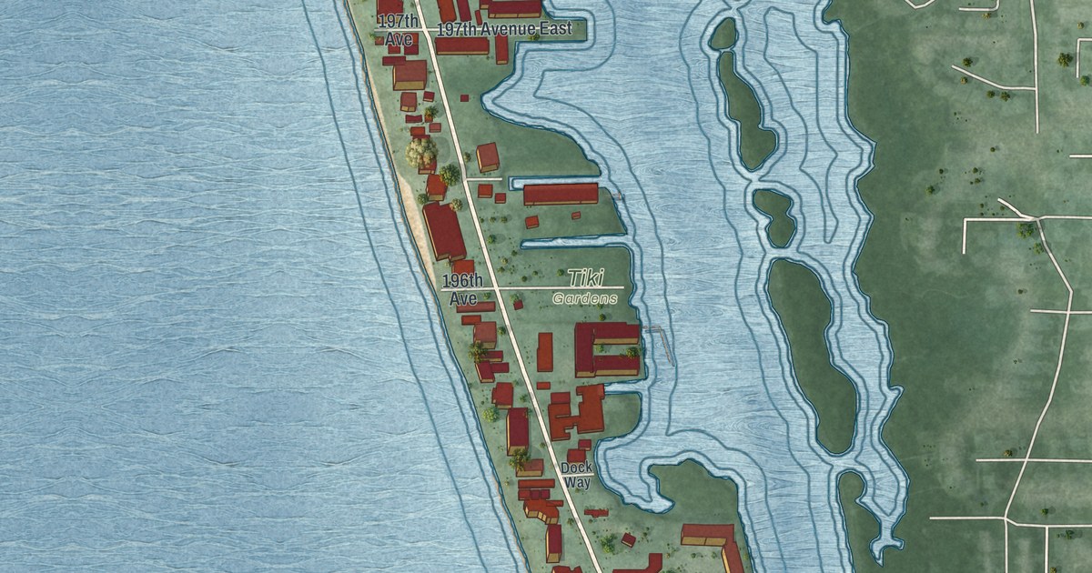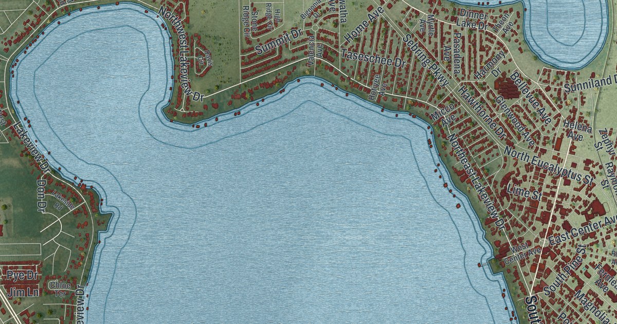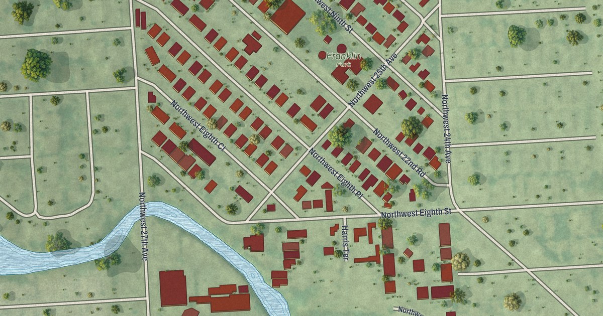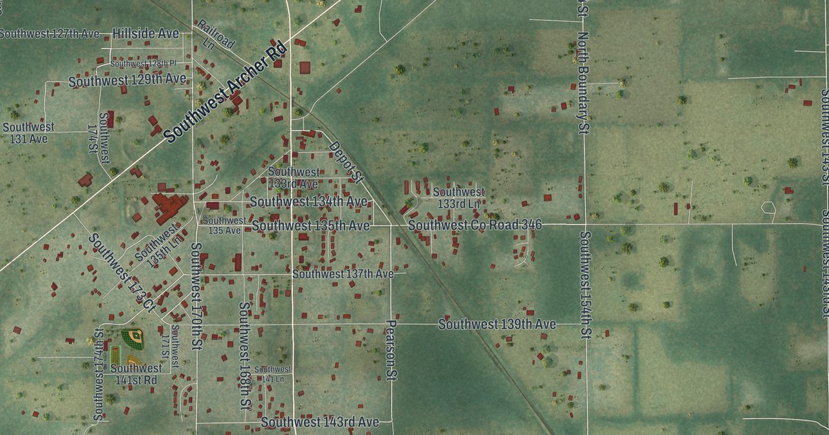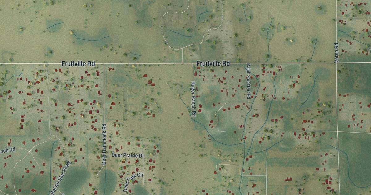
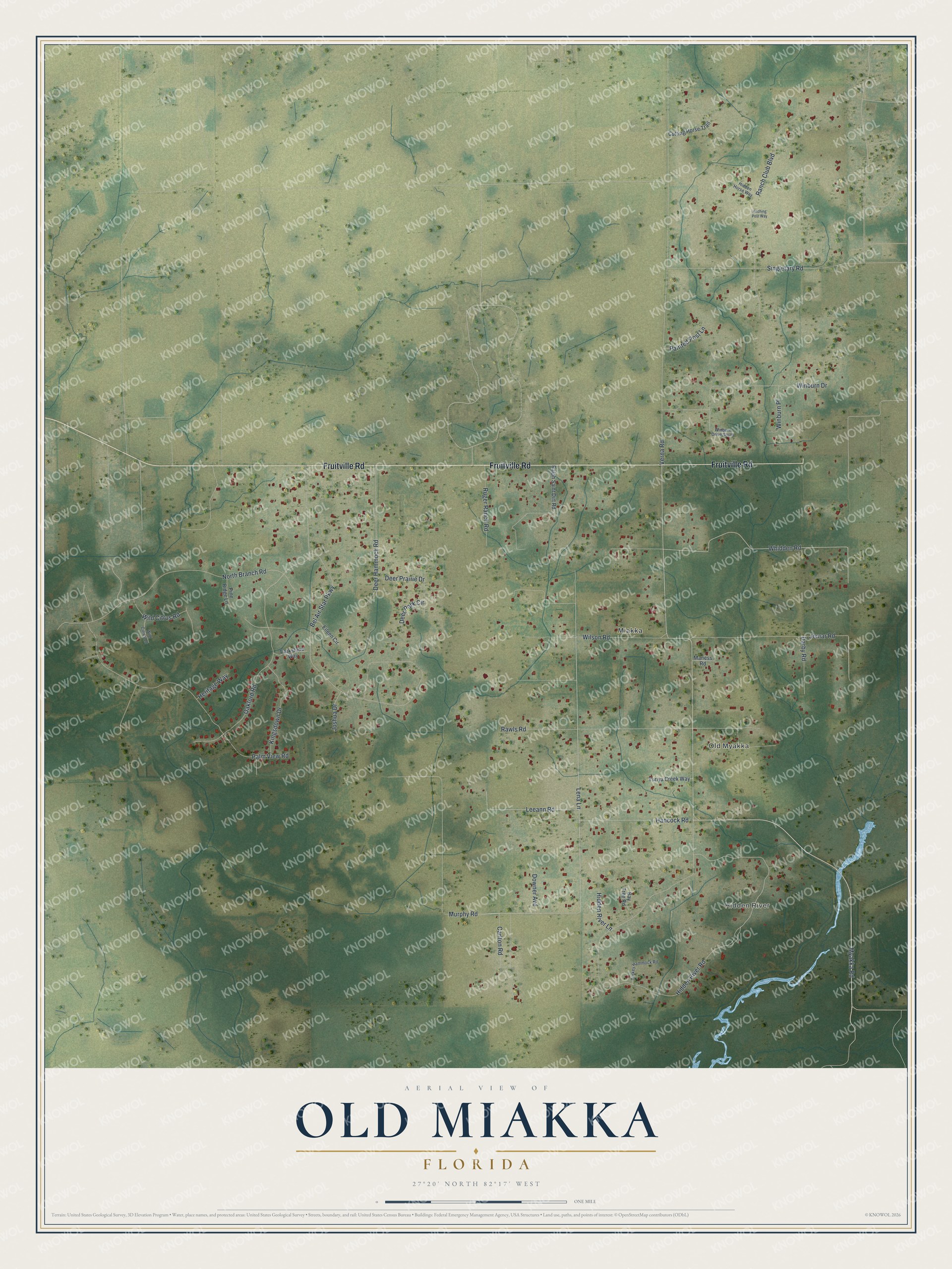
This beautifully detailed map of Old Miakka, Florida was created in 2026 using aerial imagery combined with modern topographical, census, street and landmark data. It's a modern aerial view of Old Miakka in Sarasota County, Florida, that combines modern data with a vintage aesthetic. The roads feature printed names, and if you look closely you can find your exact house accurately shown in its correct location.
Explore an aerial view of Old Miakka, Florida
On this map you'll find Hidden River, Old Myakka, Miakka, Fruitville Road, Myakka Road, Hancock Road, Lena Lane, Murphy Road, Whidden Road, Darby Road, Hidden River Road, Verna Road, and more. Each red shape is a building, so zoom in on the preview and look for yours.
Here is a piece of Old Miakka history. Settled around 1850 by a party of cattlemen, Miakka, also called Old Miakka, is the oldest settlement in Sarasota County. Its schoolhouse, built in 1914 with a bell tower, was the first school in the county built with money from a local bond issue. Children were grouped by the book they were studying, and one teacher sometimes taught as many as fifty students. The school year lasted only five months, leaving time to help with the family crops. That's from the National Register of Historic Places.
Old Miakka is a community in Sarasota County. The Census Bureau counted 1,743 people here in 2020.
Take a closer look at the Old Miakka map
Names on this map
These names are printed on this map.
Places: Hidden River, Old Myakka and Miakka.
Streets and roads: Fruitville Road, Myakka Road, Hancock Road, Lena Lane, Murphy Road, Whidden Road, Darby Road, Hidden River Road, Verna Road, Bel Air Star Parkway, Oakford Road, Palm View Road.
More street names, A to Z
Bay Tree Road, Carlton Road, Cutting Horse Trail, Deer Hammock Road, Deer Park Circle, Deer Prairie Drive, Downer Avenue, Eileen Circle, Heritage Way, Hidden Horse Way, Hidden River Lane, Hitching Post Way, Jomar Road, Joshua Drive, Kingsdown Drive, Leeann Road, Maness Road, North Branch Road, Painted Post Lane, Parkstone Way, Pine Ridge Lane, Ralph Saint Dirt Road, Ranch Club Boulevard, Rawls Road, Ruger Ranch Road, Singletary Road, Turiya Creek Way, Turkey Hammock Road, Wild Citrus Lane, Wild Citrus Road, Wilson Road, Winburn Drive, Winburn Drive South, Winburn Place.
See it on a wall
The Old Miakka map as a framed print. Swipe for more.


Created by KNOWOL in 2026. The buildings are small red shapes, the roads carry their printed names, and shaded relief shows the shape of the land. The title panel reads "AERIAL VIEW OF OLD MIAKKA, FLORIDA" with 27°20' NORTH 82°17' WEST.
It suits a den, a classroom or a front hall, and it makes a gift for anyone with Old Miakka roots. Open the preview and find the block you know. See sizes and frames for the Old Miakka map.