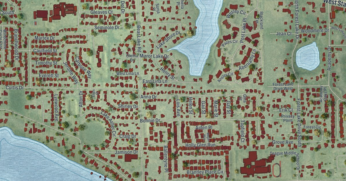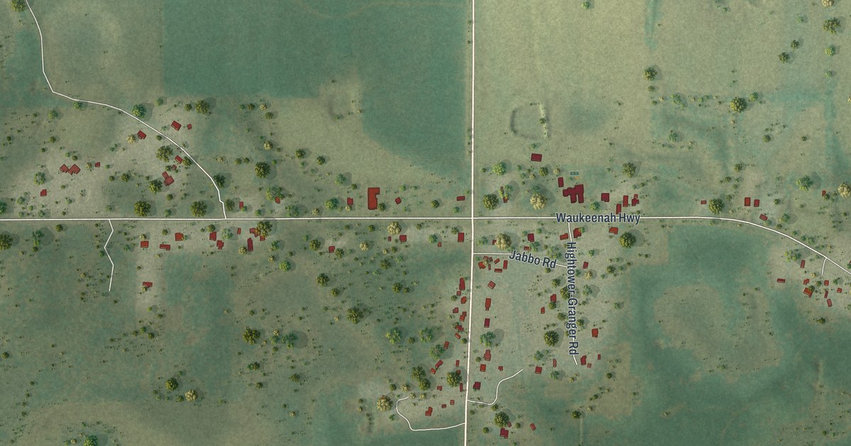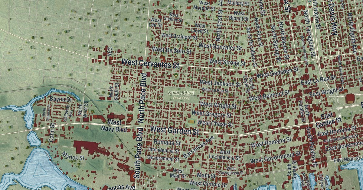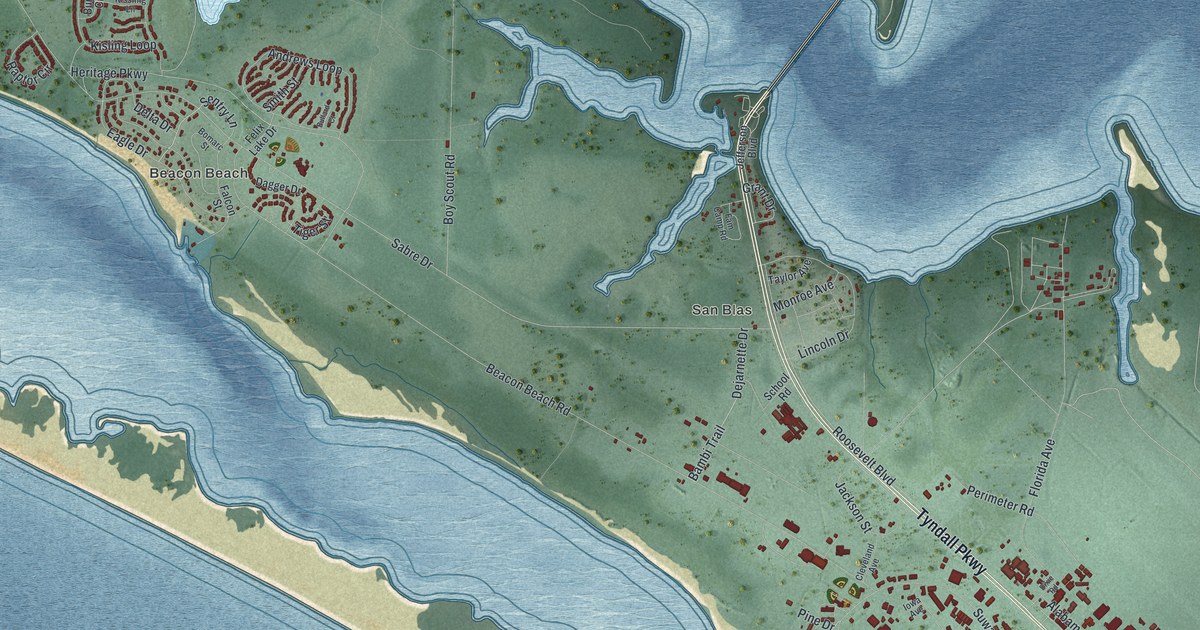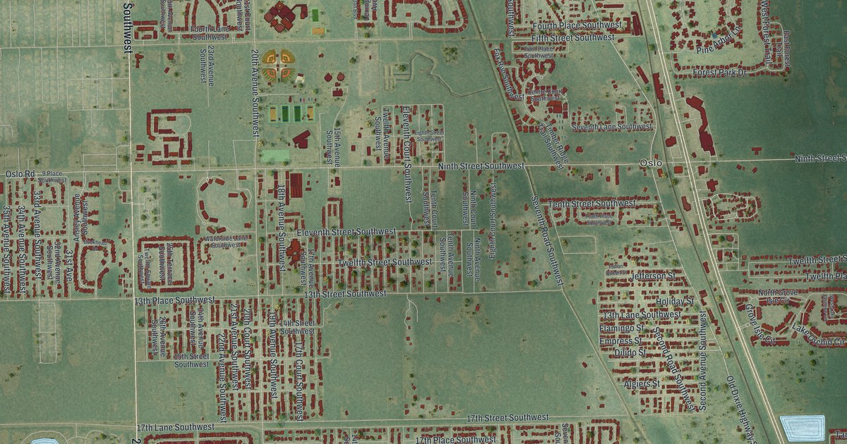
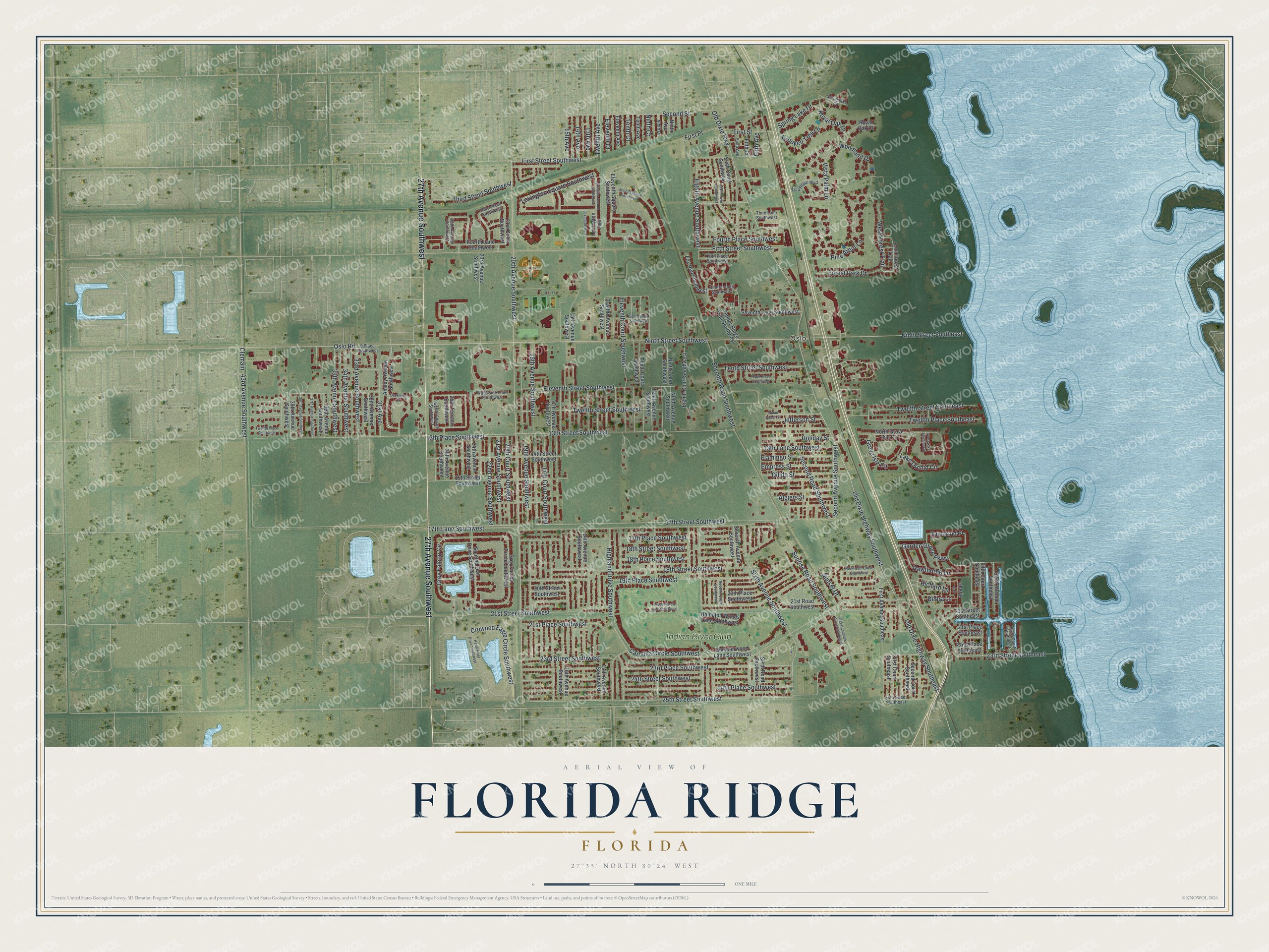
This beautifully detailed map of Florida Ridge, Florida was created in 2026 using aerial imagery combined with modern topographical, census, street and landmark data. It's a modern aerial view of Florida Ridge in Indian River County, Florida, that combines modern data with a vintage aesthetic. The roads feature printed names, and if you look closely you can find your exact house accurately shown in its correct location.
Explore an aerial view of Florida Ridge, Florida
On this map you'll find Oslo, Indian River Club, 27th Avenue Southwest, Old Dixie Highway Southwest, First Street Southwest, Twelfth Avenue, 20th Avenue Southwest, 25th Street Southwest, Sixth Avenue Southwest, Woodland Drive, 23rd Street Southeast, 21st Avenue Southwest, and more. Each red shape is a building, so zoom in on the preview and look for yours.
Here is a piece of Florida Ridge history. In the early 1900s Swedish immigrant Axel Hallstrom came to the area known as the Golden Ridge, hoping the warm climate would help his wife's health. He first planted pineapples on his farmstead, then turned it into a citrus grove, and he finished his brick home by 1918. The King of Sweden later gave him the Royal Order of Vasa, and his daughter Ruth left the house to the Indian River Historical Society. It was listed on the National Register of Historic Places in 2002. That's from the Florida Division of Historical Resources.
Florida Ridge is a community in Indian River County. The Census Bureau counted 21,302 people here in 2020.
Take a closer look at the Florida Ridge map
Names on this map
These names are printed on this map.
Places: Oslo and Indian River Club.
Streets and roads: 27th Avenue Southwest, Old Dixie Highway Southwest, First Street Southwest, Twelfth Avenue, 20th Avenue Southwest, 25th Street Southwest, Sixth Avenue Southwest, Woodland Drive, 23rd Street Southeast, 21st Avenue Southwest, Old Dixie Highway, Fifth Street Southwest.
More street names, A to Z
9 Place Southwest, 13th Avenue, 13th Avenue Southwest, 13th Lane Southwest, 13th Place Southwest, 13th Street Southwest, 14th Avenue, 14th Avenue Southwest, 14th Street Southwest, 15th Avenue, 15th Avenue Southwest, 15th Street Southwest, 16th Avenue Southwest, 17th Avenue Southwest, 17th Court Southwest, 17th Lane Southwest, 17th Place Southwest, 17th Street Southwest, 18th Avenue Southwest, 18th Place Southwest, 18th Street Southwest, 19th Avenue Southwest, 19th Place Southwest, 19th Street Southwest, 20th Court Southwest, 20th Place Southwest, 20th Street Southwest, 21st Court Southwest, 21st Place Southeast, 21st Place Southwest, 21st Road Southwest, 21st Street Southeast, 21st Street Southwest, 22nd Avenue Southwest, 22nd Place Southeast, 23rd Avenue Southwest, 23rd Place Southwest, 23rd Street Southwest, 24th Avenue Southwest, 24th Place Southwest, 24th Street Southwest, 25th Avenue Southwest, 25th Street Southeast, 25th Terrace Southwest, 26th Avenue Southwest, 31st Avenue, 32nd Avenue Southwest, 33rd Avenue Southwest, 34th Avenue Southwest, 35th Avenue Southwest, 36th Avenue Southwest, 37th Avenue Southwest, 38th Avenue Southwest, 39th Avenue Southwest, 43rd Avenue Southwest, Algiers Street, Ansley Avenue Southwest, Buckhead Drive, Carolina Circle Southwest, Centre Court Southwest, Cherie Lane, Clemain, Crooked Tree Lane, Crowned Eagle Circle Southwest, Debra Lane, Dilido Street, East Forest Trail, Eighth Avenue Southwest, Eighth Court Southwest, Eighth Street Southwest, Eleventh Avenue, Eleventh Court, Eleventh Court Southwest, Eleventh Square Southwest, Eleventh Street Southwest, Empress Street, Fifth Avenue, Fifth Court, Fifth Court Southeast, Fifth Place Southwest, First Avenue Southeast, First Court Southeast, First Place, First Street, Flamingo Street, Forest Park Drive, Fourth Lane Southwest, Fourth Place Southwest, Fox Run Southwest, Garden Grove Parkway, Grey Falcon Circle, Grey Falcon Circle Southwest, Grove Isle Circle, Hampton Woods Lane Southwest, Hawk River Drive Southwest, Hawthorne Lane, Highland Drive Southwest, Holiday Street, Indian Queen Street, Jefferson Street, Lake Orchid Circle, Lexington Avenue, Lexington Avenue Southwest, Lexington Boulevard, Lexington Square Southwest, Ninth Avenue, Ninth Avenue Southwest, Ninth Court, Ninth Court Southwest, Ninth Drive, Ninth Street Southeast, Ninth Street Southwest, North 19th Circle Southwest, North Grove Isle Circle, Oak Hammock Circle Southwest, Old Dixie Highway Southeast, Oslo Road, Pine Arbor Lane, Richard Lane, Royal Oak Court, Royal Oak Drive, Second Avenue Southwest, Second Court Southeast, Second Manor Southwest, Second Road Southwest, Second Street, Seventh Avenue Southwest, Seventh Court Southwest, Seventh Lane Southwest, Seventh Road Southwest, Sixth Avenue, Sixth Avenue Southeast, Sixth Court Southeast, Sixth Court Southwest, Sixth Drive Southwest, Sixth Road Southwest, Spotted Owl Drive Southwest, Springlake Court, Spring Lake Drive, Summerwood Lane Southwest, Sunrise Road Southwest, Sunset Drive, Tamarind Place, Tenth Avenue, Tenth Avenue Southwest, Tenth Court, Tenth Court Southwest, Tenth Place Southwest, Tenth Street Southwest, Third Lane Southwest, Third Place Southwest, Third Street Southwest, Timber Ridge Trail Southwest, Twelfth Avenue Southwest, Twelfth Place Southeast, Twelfth Place Southwest, Twelfth Square Southwest, Twelfth Street Southeast, Twelfth Street Southwest, Vista Palm Lane, Vista Royal Boulevard, Waterside Lane Southwest, West Forest Trail, West Lake Jasmine Circle, Wood Haven Lane Southwest.
See it on a wall
The Florida Ridge map as a framed print. Swipe for more.


Created by KNOWOL in 2026. The buildings are small red shapes, the roads carry their printed names, and shaded relief shows the shape of the land. The title panel reads "AERIAL VIEW OF FLORIDA RIDGE, FLORIDA" with 27°35' NORTH 80°24' WEST.
It suits a den, a classroom or a front hall, and it makes a gift for anyone with Florida Ridge roots. Open the preview and find the block you know. See sizes and frames for the Florida Ridge map.