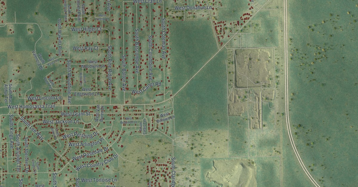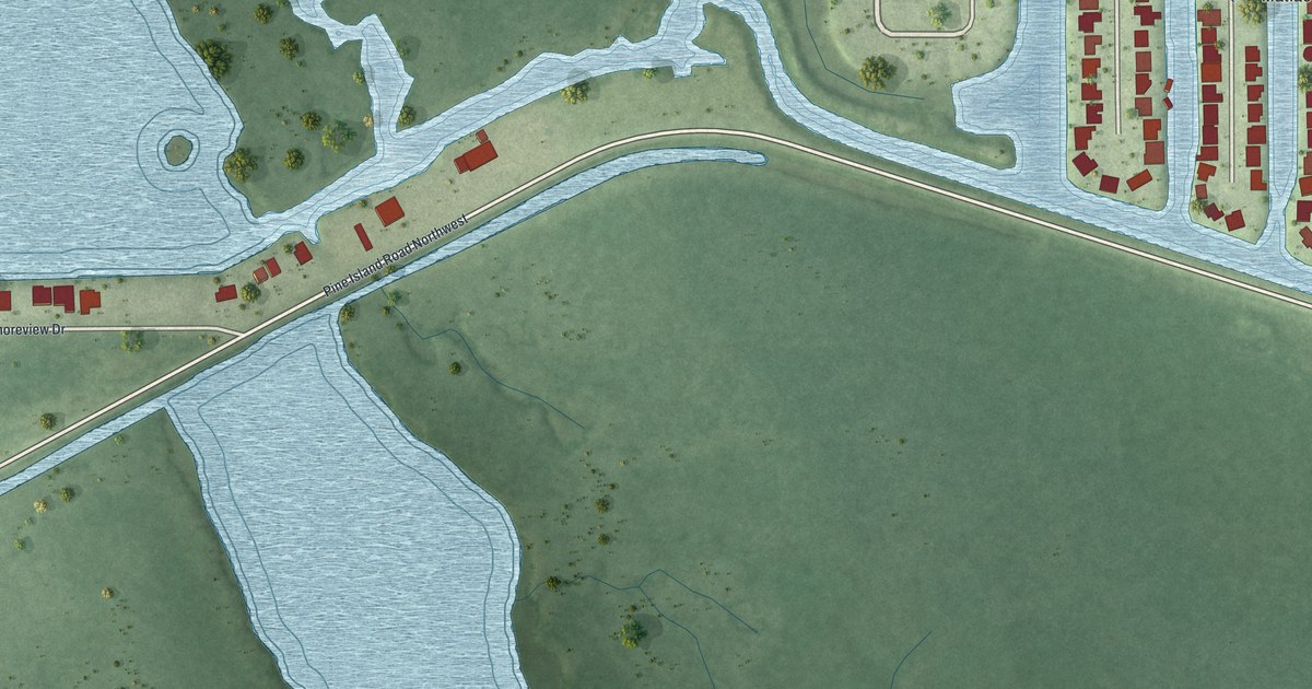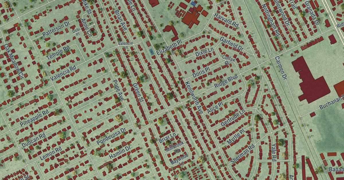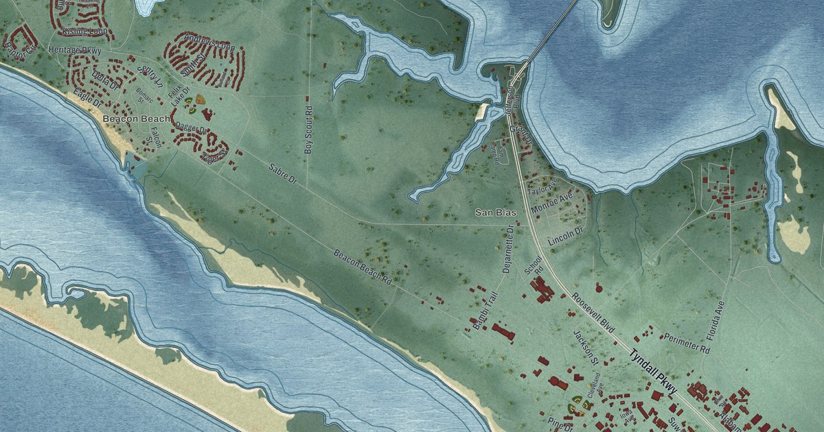
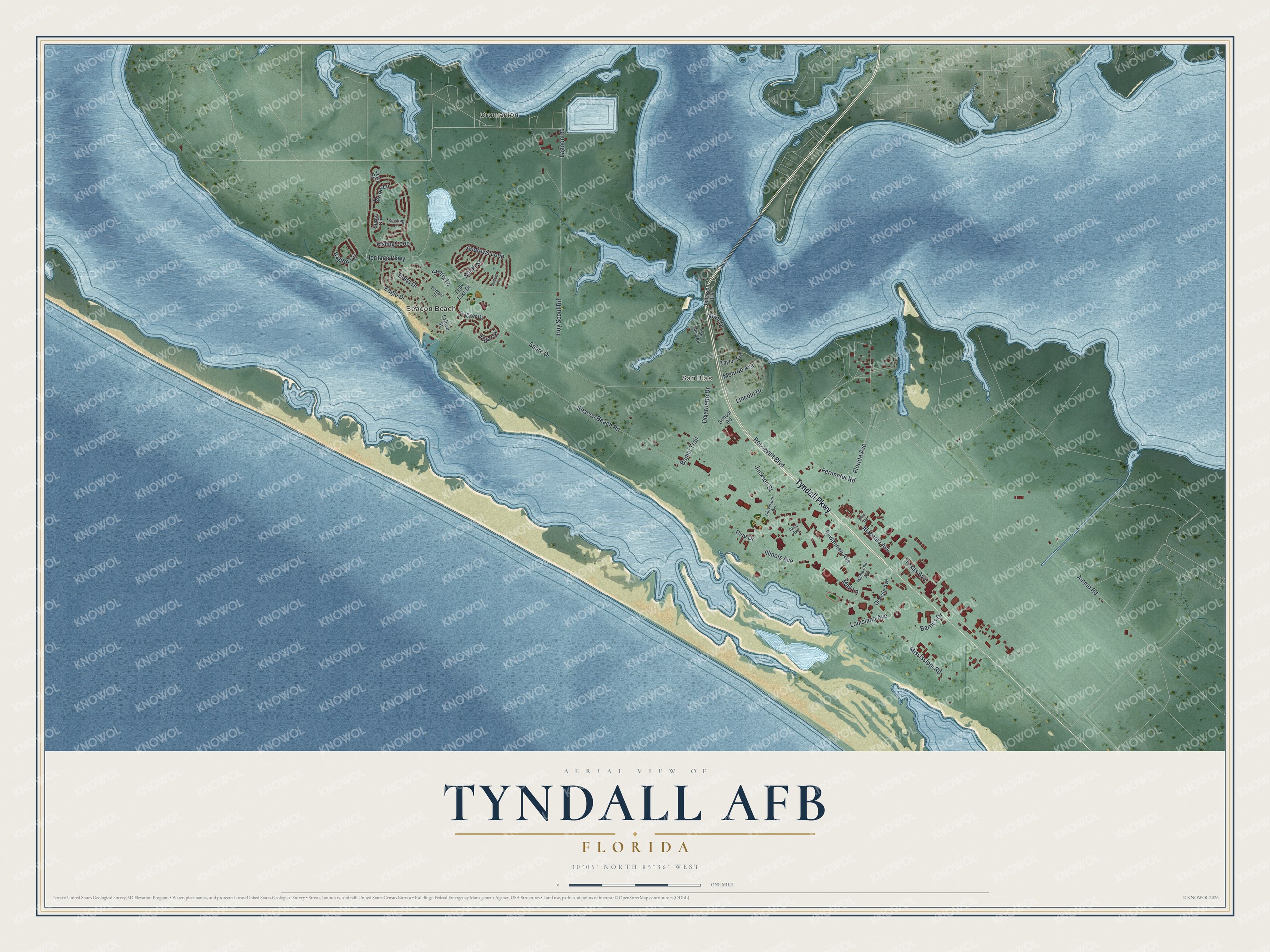
This beautifully detailed map of Tyndall AFB, Florida was created in 2026 using aerial imagery combined with modern topographical, census, street and landmark data. It's a modern aerial view of Tyndall AFB in Bay County, Florida, that combines modern data with a vintage aesthetic. The roads feature printed names, and if you look closely you can find your exact house accurately shown in its correct location.
Explore an aerial view of Tyndall AFB, Florida
On this map you'll find Cromanton, Beacon Beach, San Blas, Tyndall Parkway, Jackson Street, Sentry Lane, Lagoon Road, Bambi Trail, Sabre Drive, Beacon Beach Road, Florida Avenue, Ammo Road, and more. Each red shape is a building, so zoom in on the preview and look for yours.
Here is a piece of Tyndall AFB history. Tyndall Air Force Base was named in June 1941 for Lieutenant Frank B. Tyndall, a World War I ace who was born at Sewalls Point near Fort Pierce, Florida, in 1894. He was killed in the line of duty near Mooresville, North Carolina, in 1930. That's from the book Florida Place Names by Allen Morris.
Tyndall AFB is a community in Bay County. The Census Bureau counted 139 people here in 2020.
Take a closer look at the Tyndall AFB map
Names on this map
These names are printed on this map.
Places: Cromanton, Beacon Beach and San Blas.
Streets and roads: Tyndall Parkway, Jackson Street, Sentry Lane, Lagoon Road, Bambi Trail, Sabre Drive, Beacon Beach Road, Florida Avenue, Ammo Road, Suwannee Avenue, Mississippi Road, Kisling Loop.
More street names, A to Z
Alabama Avenue, Andrews Loop, Barnes Drive, Bomarc Street, Boy Scout Road, Bullard Court, Burge Circle, Cleveland Avenue, Dagger Drive, Dean Circle, Dejarnette Drive, Delta Drive, Dixie Road, Eagle Drive, Falcon Street, Fam Camp Road, Felix Lake Drive, Georgia Avenue, Grant Drive, Harlow Lane, Heritage Parkway, Illinois Avenue, Iowa Avenue, Jefferson Boulevard, Kissling Lane, Lincoln Drive, Louisiana Avenue, Mall Lane, Minnesota Avenue, Monroe Avenue, Perimeter Road, Pine Drive, Raptor Circle, Roosevelt Boulevard, School Road, Smith Street, Taylor Avenue, Texas Avenue, Tiger Street.
See it on a wall
The Tyndall AFB map as a framed print. Swipe for more.


Created by KNOWOL in 2026. The buildings are small red shapes, the roads carry their printed names, and shaded relief shows the shape of the land. The title panel reads "AERIAL VIEW OF TYNDALL AFB, FLORIDA" with 30°05' NORTH 85°36' WEST.
It suits a den, a classroom or a front hall, and it makes a gift for anyone with Tyndall AFB roots. Open the preview and find the block you know. See sizes and frames for the Tyndall AFB map.