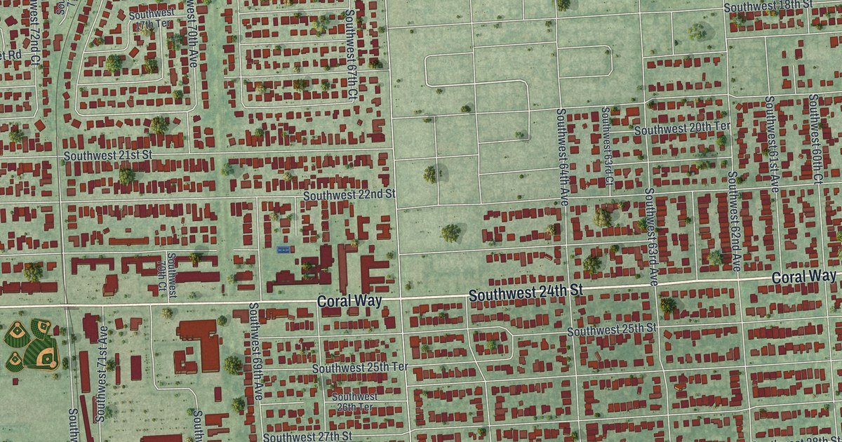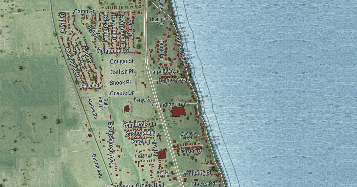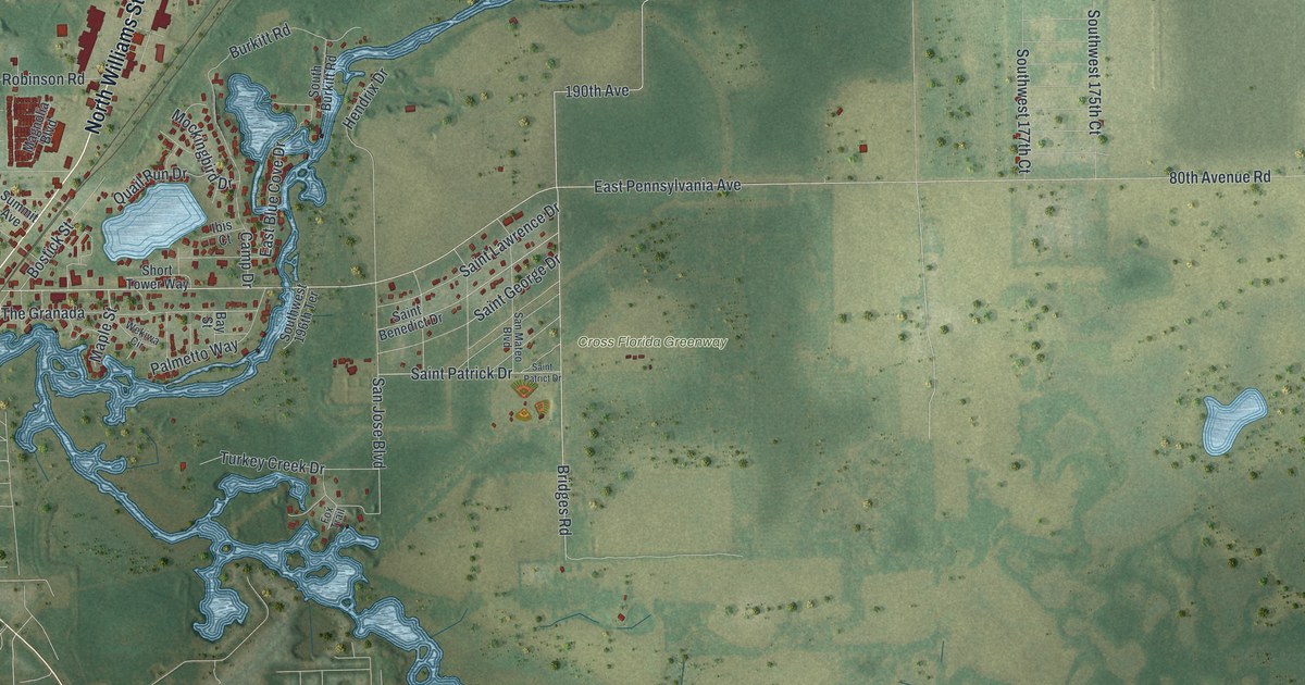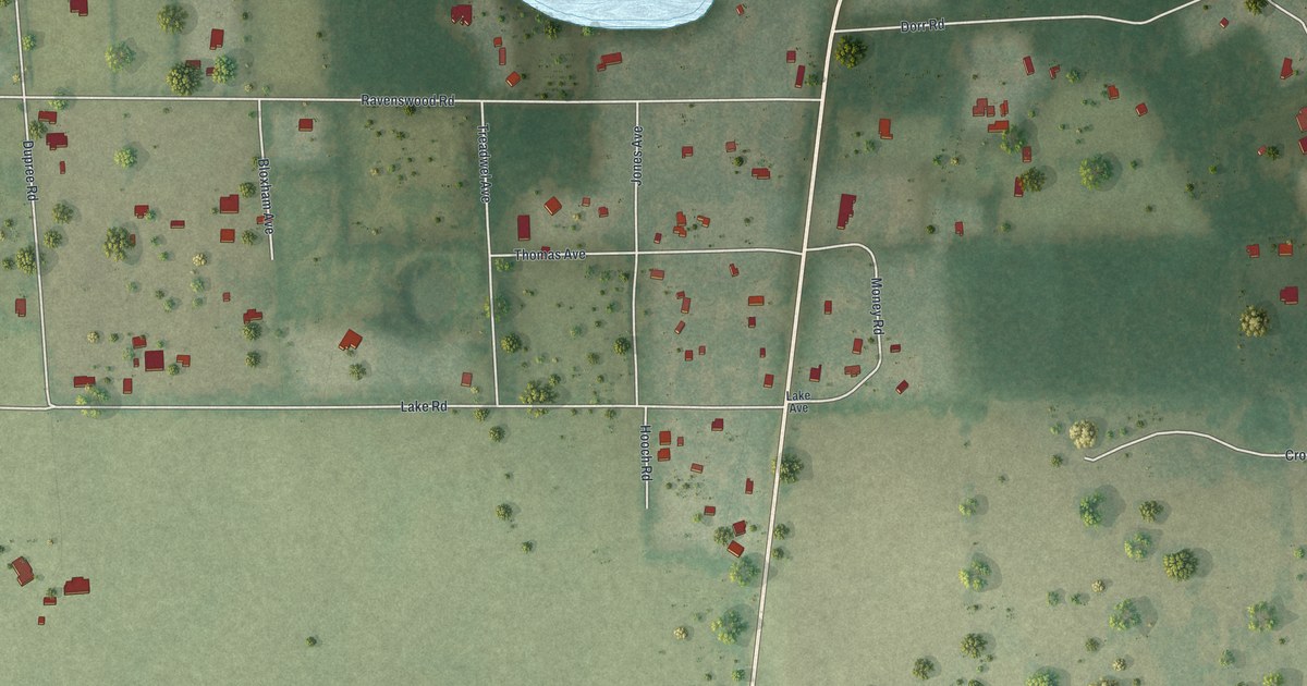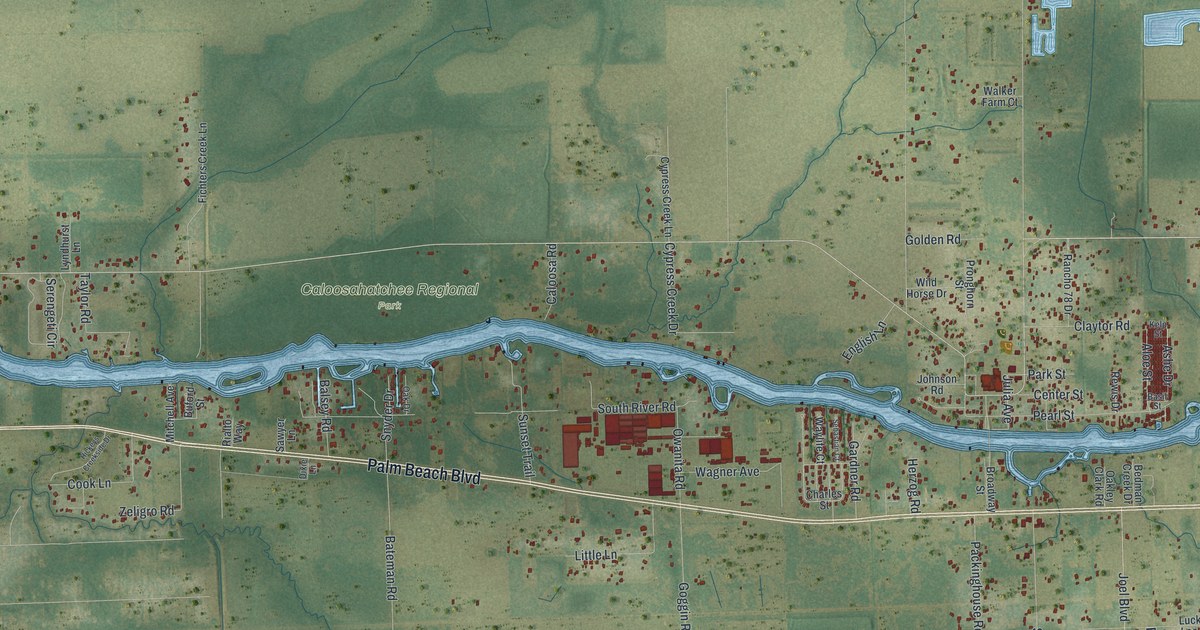
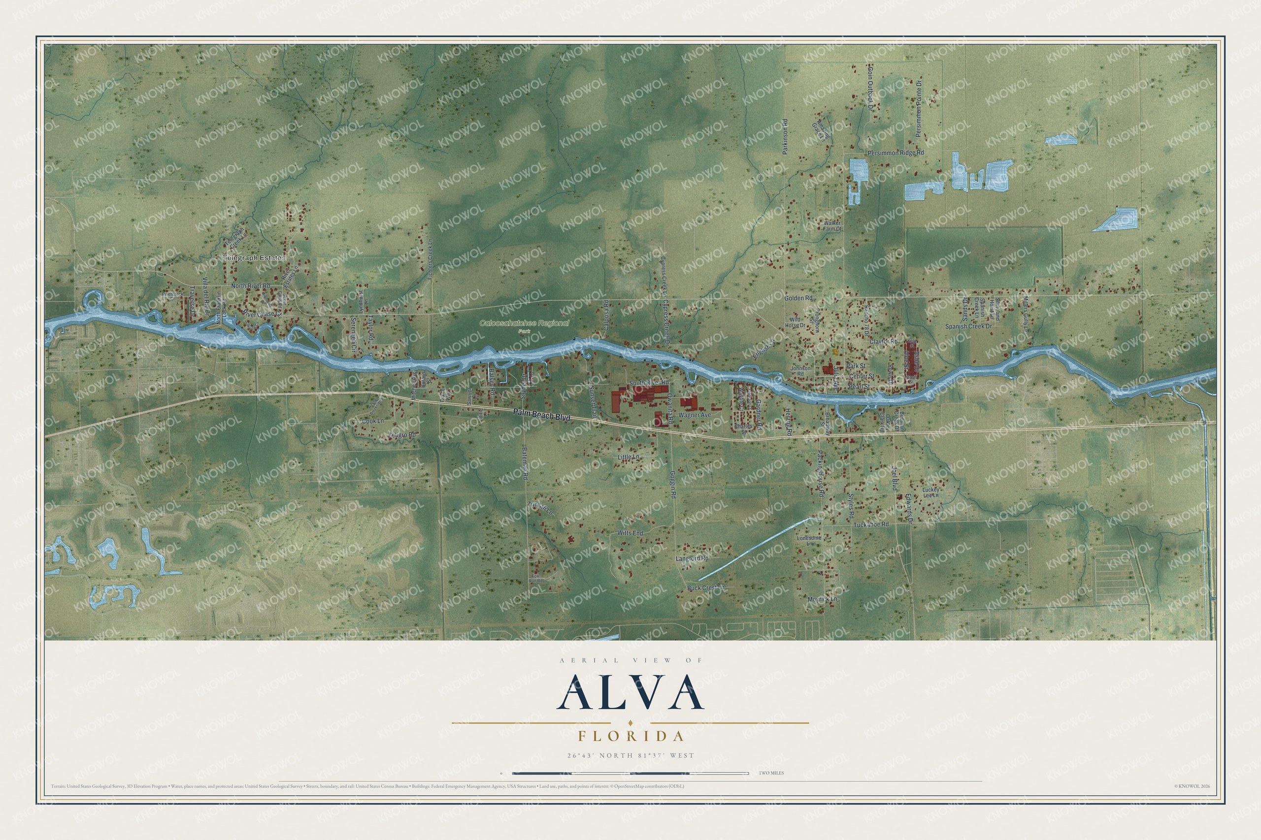
This beautifully detailed map of Alva, Florida was created in 2026 using aerial imagery combined with modern topographical, census, street and landmark data. It's a modern aerial view of Alva in Lee County, Florida, that combines modern data with a vintage aesthetic. The roads feature printed names, and if you look closely you can find your exact house accurately shown in its correct location.
Explore an aerial view of Alva, Florida
On this map you'll find Telegraph Estates, Caloosahatchee Regional Park, Palm Beach Boulevard, North River Road, Ashe Drive, Julia Avenue, Aloe Street, Persimmon Ridge Road, Parkinson Road, Bateman Road, South River Road, Packinghouse Road, and more. Each red shape is a building, so zoom in on the preview and look for yours.
Here is a piece of Alva history. Alva's founder in the 1880s was Captain Peter Nelson, a Dane, who named the community for a small white flower he had found growing there. The name comes from the Latin alba, which means white. That's from the book Florida Place Names by Allen Morris.
Alva is a community in Lee County. The Census Bureau counted 2,725 people here in 2020.
Take a closer look at the Alva map
Names on this map
These names are printed on this map.
Places: Telegraph Estates and Caloosahatchee Regional Park.
Streets and roads: Palm Beach Boulevard, North River Road, Ashe Drive, Julia Avenue, Aloe Street, Persimmon Ridge Road, Parkinson Road, Bateman Road, South River Road, Packinghouse Road, Goggin Road, Persimmon Pointe Drive.
More street names, A to Z
Amazing Grace Lane, Balsey Road, Basil Street, Bedman Creek Drive, Broadway Street, Buck Crest Lane, Buford Street, Caloosa Road, Center Street, Charles Street, Claytor Road, Cook Lane, Cypress Creek Drive, Cypress Creek Lane, Dixie Lane, Edwards Drive, English Lane, Fichters Creek Lane, Fox Run Road, Gardner Road, Goin Outback Drive, Golden Road, Herzog Road, Hickeys Creekside Drive, Joel Boulevard, Johnson Road, Kelp Street, Langford Road, Little Lane, Lonesome Lane, Luckey Lee Lane, Lyndhurst Lane, Meyrick Lane, Millers Gully Lane, Mitchell Avenue, North Franklin Lock Road, Oak Drive, Oakley Clark Road, Oakview Circle, Owanita Road, Park Street, Pearl Street, Pronghorn Street, Rancho 78 Drive, Rewis Drive, Rialto Way, River Chase Court, Rivercreek Court, River Estates Lane, Riverwind Drive, Sands Drive, Sawyer Lane, Scout Camp Road, Sebastian Court, Serengeti Circle, Silver and Horst Lane, Snyder Drive, Spanish Creek Drive, Spanish Creek Lane, Styles Road, Sunset Trail, Taylor Road, Telegraph Creek Lane, Traverse Drive, Tringali Lane, Tuckahoe Road, Villa del Rio Drive, Wagner Avenue, Walker Farm Court, Waylife Court, Wild Horse Drive, Witts End, Zeligro Road.
See it on a wall
The Alva map as a framed print. Swipe for more.


Created by KNOWOL in 2026. The buildings are small red shapes, the roads carry their printed names, and shaded relief shows the shape of the land. The title panel reads "AERIAL VIEW OF ALVA, FLORIDA" with 26°43' NORTH 81°37' WEST.
It suits a den, a classroom or a front hall, and it makes a gift for anyone with Alva roots. Open the preview and find the block you know. See sizes and frames for the Alva map.