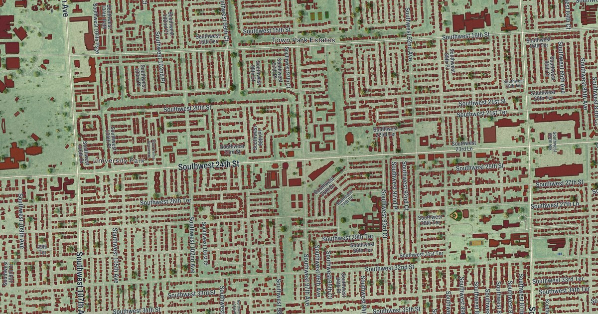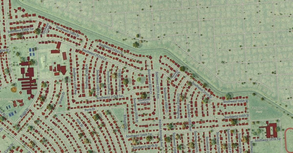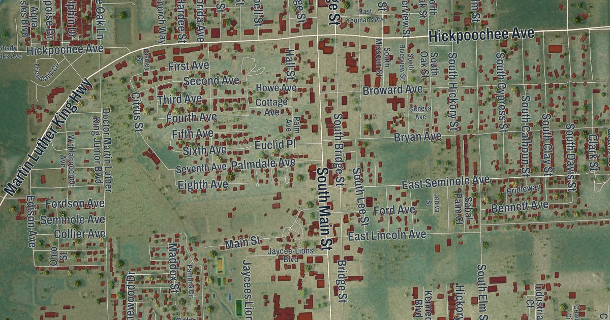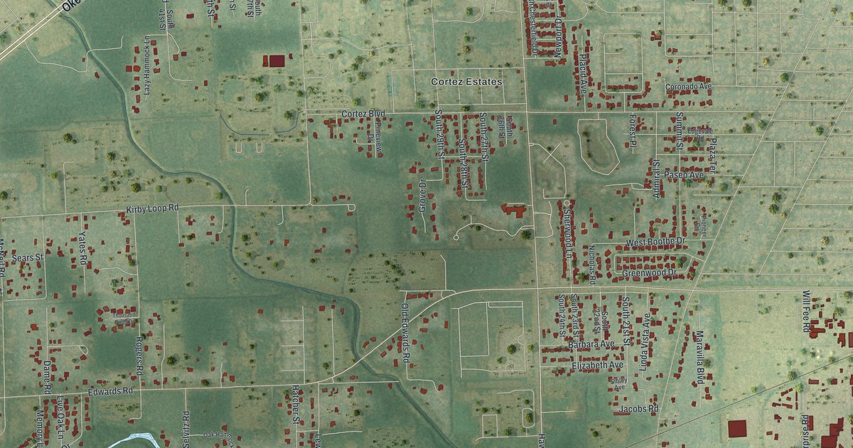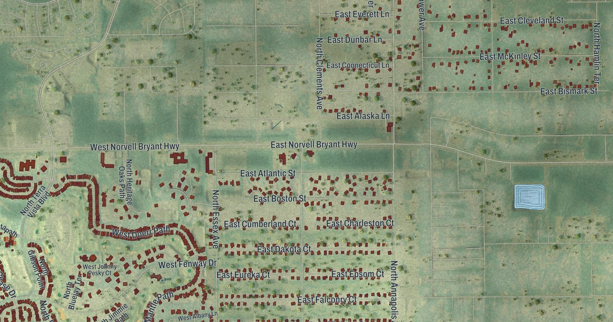
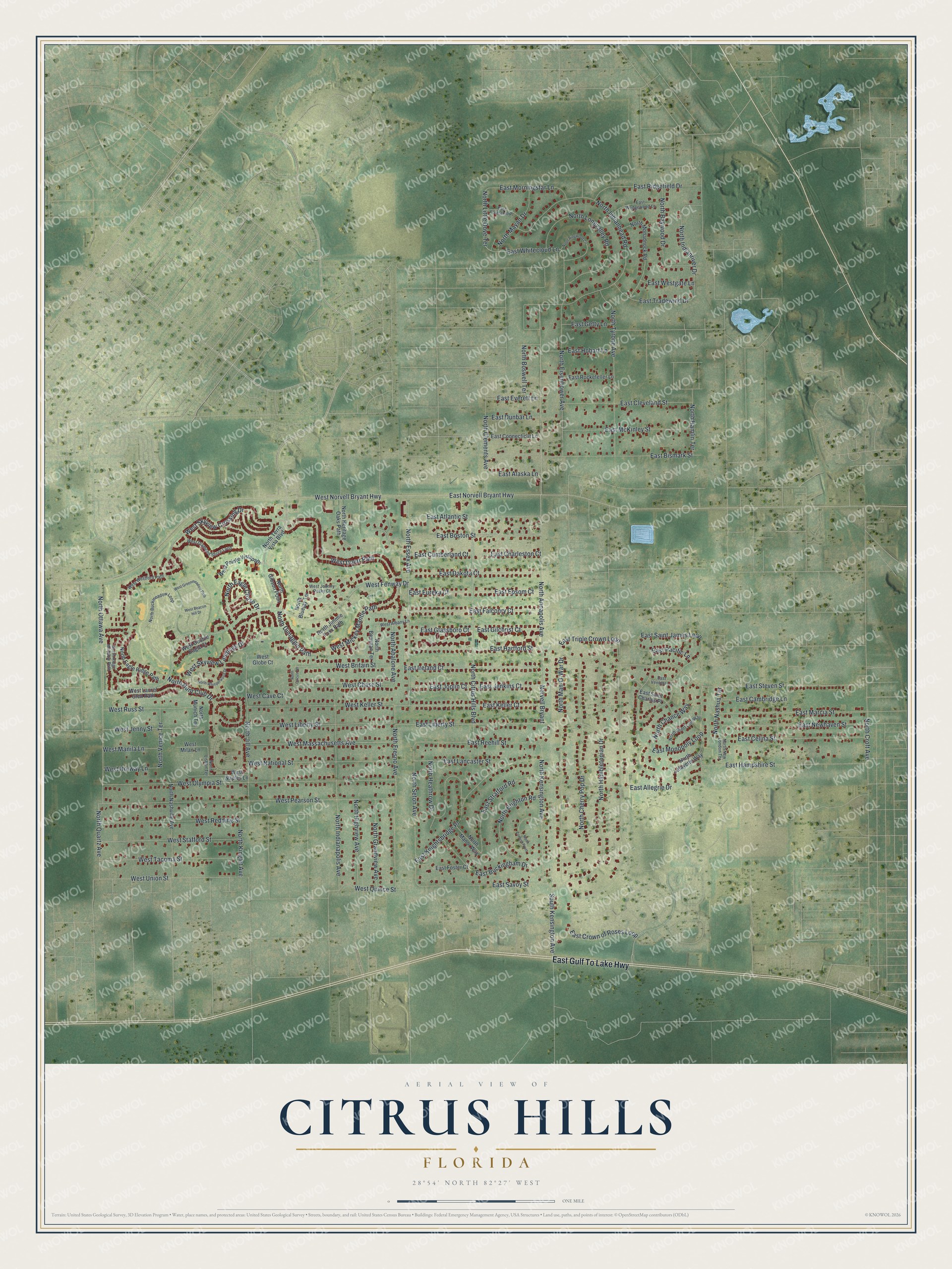
This beautifully detailed map of Citrus Hills, Florida was created in 2026 using aerial imagery combined with modern topographical, census, street and landmark data. It's a modern aerial view of Citrus Hills in Citrus County, Florida, that combines modern data with a vintage aesthetic. The roads feature printed names, and if you look closely you can find your exact house accurately shown in its correct location.
Explore an aerial view of Citrus Hills, Florida
On this map you'll find East Gulf To Lake Highway, West Pearson Street, East Crown of Roses Loop, North Quartz Avenue, West Quince Street, North Kensington Avenue, North Essex Avenue, North Eisenhower Avenue, West Union Street, South Kensington Avenue, North Fresno Avenue, West Skyview Crossing Drive, and more. Each red shape is a building, so zoom in on the preview and look for yours.
Citrus Hills has a story worth telling. Boston Red Sox great Ted Williams came to Citrus County through his friendship with the New England based Tamposi family, and he retired to the new Citrus Hills development. His supporters built the Ted Williams Museum and Hitters Hall of Fame, which opened to national fanfare in 1994. Before the 1995 Hall of Fame induction, former President George H.W. Bush was master of ceremonies at a private event at Andre's Restaurant in Citrus Hills. That's from the Citrus County Historical Society.
Citrus Hills is a community in Citrus County. The Census Bureau counted 9,302 people here in 2020.
Take a closer look at the Citrus Hills map
Names on this map
These names are printed on this map.
Streets and roads: East Gulf To Lake Highway, West Pearson Street, East Crown of Roses Loop, North Quartz Avenue, West Quince Street, North Kensington Avenue, North Essex Avenue, North Eisenhower Avenue, West Union Street, South Kensington Avenue, North Fresno Avenue, West Skyview Crossing Drive.
More street names, A to Z
East Alaska Lane, East Allegrie Drive, East Atlantic Street, East Bismark Street, East Boston Street, East Buckingham Drive, East Cambridge Lane, East Celina Street, East Charleston Court, East Cleveland Street, East Connecticut Lane, East Cumberland Court, East Dakota Court, East Dunbar Lane, East Epsom Court, East Eureka Court, East Everett Lane, East Falconry Court, East Foresthill Place, East Foster Court, East Getty Lane, East Gilchrist Court, East Glassboro Court, East Hampshire Street, East Hartford Street, East Hobart Lane, East Ireland Court, East Jenkins Court, East Joplin Court, East Keller Court, East Knightsbridge Place, East Lancaster Street, East Liberty Street, East Marcia Street, East McKinley Street, East Monopoly Loop, East Morningstar Lane, East Newhaven Street, East Norvell Bryant Highway, East Pacific Lane, East Reehill Street, East Ridgefield Drive, East Rockefeller Lane, East Saint Charles Place, East Saint James Loop, East Savoy Street, East Steven Street, East Stratford Road, East Tradewind Drive, East Triple Crown Loop, East Ventnor Lane, East Wedgewood Lane, East Westgate Lane, East Whitecloud Lane, North Abalone Avenue, North Annapolis Avenue, North Baywood Drive, North Bluejay Terrace, North Boswell Terrace, North Bowman Terrace, North Brighton Road, North Buckmeadow Loop, North Chance Way, North Cherry Pop Drive, North Circus Terrace, North Citrus Hills Boulevard, North Clements Avenue, North Cornish Point, North Croft Avenue, North Dimaggio Path, North Eagle Chase Drive, North Eagle Ridge Path, North Gibson Point, North Grandview Avenue, North Hambletonian Drive, North Hamlin Terrace, North Heathrow Drive, North Heritage Oaks Path, North Highview Avenue, North Hunt Club Drive, North Indianapolis Avenue, North Indianhead Road, North Indianriver Drive, North Jill Avenue, North Jimmie Foxx Path, North Kinglet Avenue, North Lafayette Way, North Lisbon Terrace, North Little Dove Terrace, North Longvalley Road, North Man-O-War Drive, North Manor Way, North Mayan Drive, North Monadnock Road, North Munich Terrace, North Nashua Terrace, North Nashville Avenue, North New London Terrace, North Ottawa Avenue, North Ridge Meadow Path, North Ringwood Circle, North Seton Avenue, North Short Line Way, North Terra Vista Boulevard, North Tyrone Avenue, North Venice Terrace, North Whisperwood Drive, Norvell Bryant, West Albany Lane, West Beacon Hill Drive, West Britain Street, West Cave Court, West Chase Street, West Diamond Shore Loop, West Doerr Path, West Double Eagle Court, West Fenway Drive, West Globe Court, West Greenmeadow Path, West Jenny Street, West Johnny Pesky Court, West Keller Street, West Laurel Glen Path, West Liberty Street, West Manila Lane, West Massachusetts Avenue, West Mickey Mantle Path, West Milan Lane, West Naples Lane, West National Street, West Norvell Bryant Highway, West Norway Lane, West Olympia Street, West Pointe Vista Path, West Redding Street, West Russ Street, West Skyview Landings Drive, West Stafford Street, West Tacoma Street, West Westford Path.
See it on a wall
The Citrus Hills map as a framed print. Swipe for more.


Created by KNOWOL in 2026. The buildings are small red shapes, the roads carry their printed names, and shaded relief shows the shape of the land. The title panel reads "AERIAL VIEW OF CITRUS HILLS, FLORIDA" with 28°54' NORTH 82°27' WEST.
It looks right in a kitchen, an office or a den, and it's a gift for anyone who grew up in Citrus Hills or moved away. Open the preview and find your street. See sizes and frames for the Citrus Hills map.