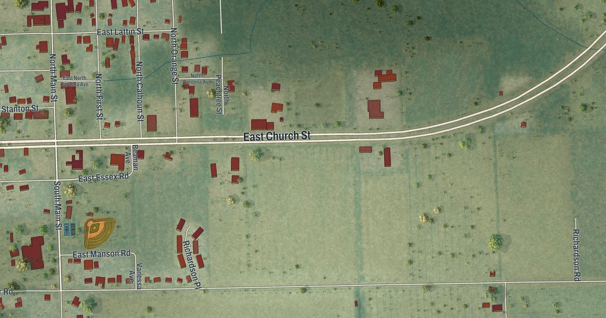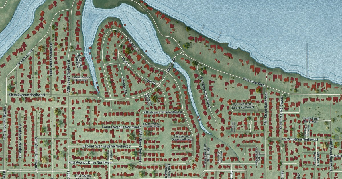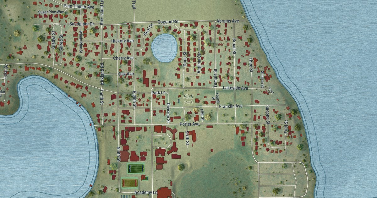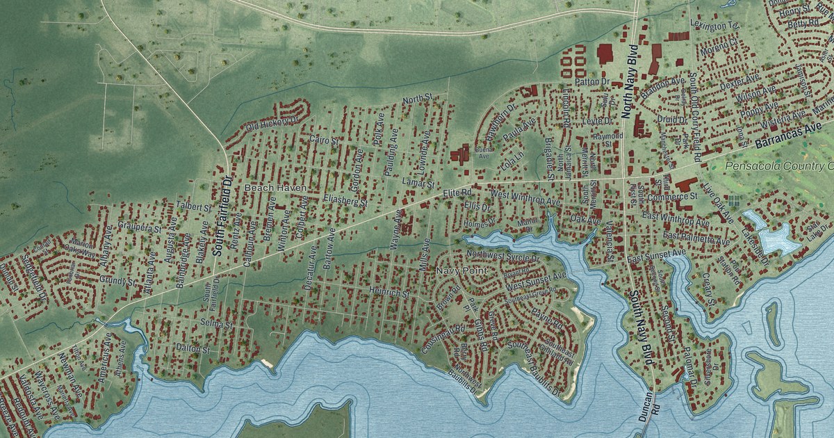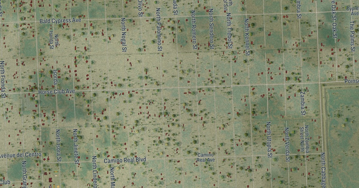
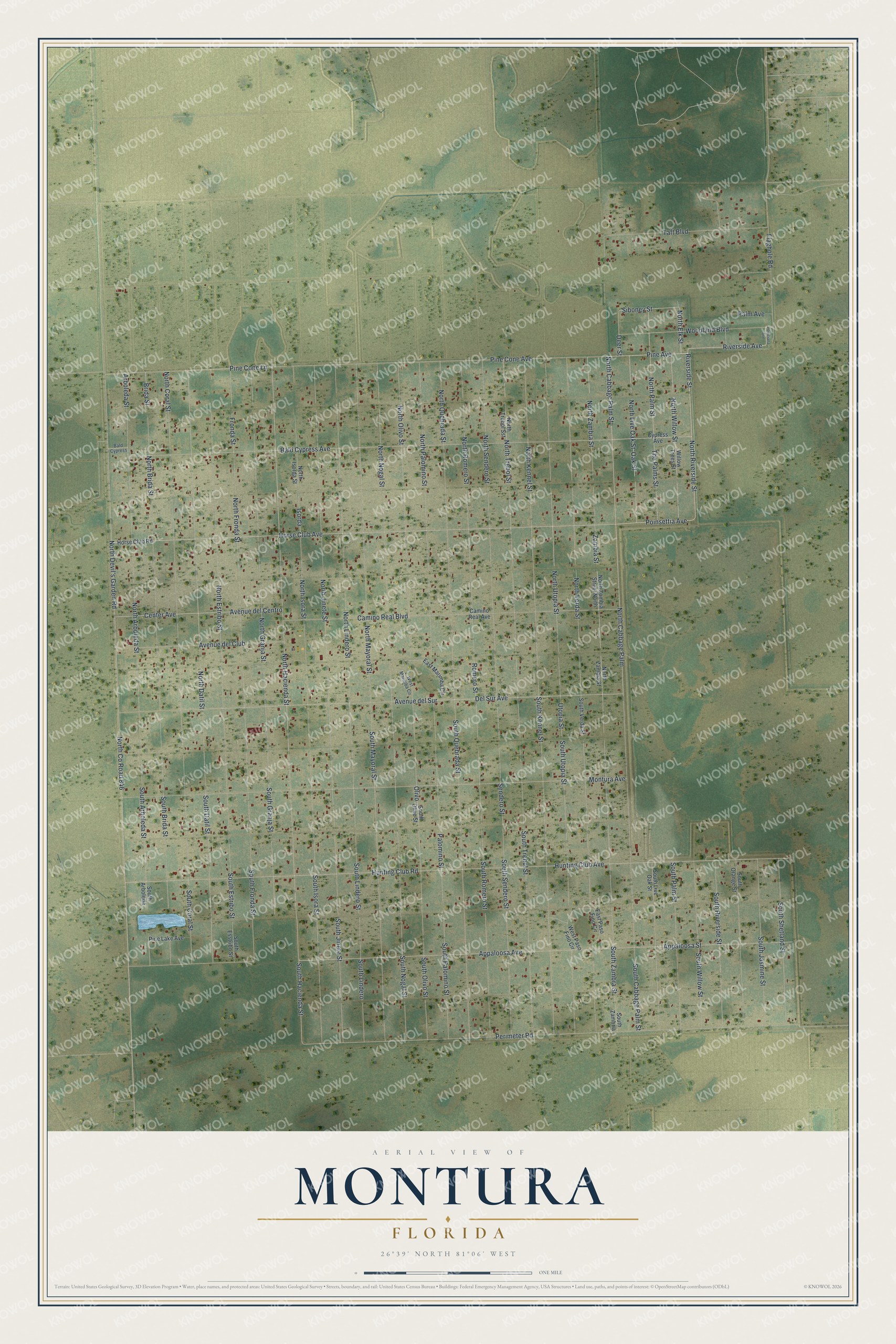
This beautifully detailed map of Montura, Florida was created in 2026 using aerial imagery combined with modern topographical, census, street and landmark data. It's a modern aerial view of Montura in Hendry County, Florida, that combines modern data with a vintage aesthetic. The roads feature printed names, and if you look closely you can find your exact house accurately shown in its correct location.
Explore an aerial view of Montura, Florida
On this map you'll find Horse Club Avenue, North Cabbage Palm Street, Riverside Street, Riverside Avenue, Pine Avenue, North Cabbage Palm, Pine Cone Lane, North Elk Street, South Hacienda Street, North Hacienda Street, North Datil Street, Siboney Street, and more. Each red shape is a building, so zoom in on the preview and look for yours.
Montura is a community in Hendry County. The Census Bureau counted 3,343 people here in 2020. Montura sits about 10 miles southeast of Pioneer, 11 miles southwest of Harlem and 12 miles southwest of Clewiston. The map prints the town name in its title panel, with the coordinates below it.
Take a closer look at the Montura map
Names on this map
These names are printed on this map.
Streets and roads: Horse Club Avenue, North Cabbage Palm Street, Riverside Street, Riverside Avenue, Pine Avenue, North Cabbage Palm, Pine Cone Lane, North Elk Street, South Hacienda Street, North Hacienda Street, North Datil Street, Siboney Street.
More street names, A to Z
Appaloosa Avenue, Appaloosa Street, Arboleda Street, Avenue del Centro, Avenue del Club, Avenue del Sur, Bald Cypress, Bald Cypress Avenue, Brida Street, Camino Real Avenue, Camino Real Boulevard, Center Avenue, Cypress Avenue, Deer Street, Del Sur Avenue, East Marimba Circle, East Paso Fino Circle, Flaghole Road, Fronda Street, Horse Club Road, Hunting Club Avenue, Hunting Club Road, Isorda, Montura Avenue, North Arboleda Street, North Brida Street, North Coral Street, North County Road 846, North Devil's Garden Road, North Estribo Street, North Fronda Street, North Granja Street, North Isora Street, North Isorda Street, North Jinete Street, North Kennel Street, North Lindero Street, North Live Oak Street, North Mayoral Street, North Nogal Street, North Olivo Street, North Palm Street, North Palomino Street, North Quebrada Street, North Riverside Street, North Romero Street, North Sendero Street, North Trebol Sst, North Trebol Street, North Utopia Street, North Verda Street, North Willow Street, North Zambia Street, North Zambra Street, North Zombia Street North, Oak Street, Olivo, Palm Avenue, Palomino Street, Perimeter Road, Pine Cone Avenue, Pine Lake Avenue, Poinciana Avenue, Poinsettia Avenue, Romero Street, Sendero Street, South Arboleda, South Arboleda Street, South Brida Street, South Cabbage Palm Street, South Coral Street, South Datil Street, South Esstribo Street, South Estribo Street, South Fronda Street, South Granja Street, South Isora Street, South Jasmine Street, South Jinete Street, South Kennel Street, South Lindero, South Lindero Street, South Live Oak Street, South Mayoral Street, South Nogal Street, South Olive Street, South Olivo Street, South Orange Street, South Palm Street, South Palomino Street, South Quebrada Street, South Riverside Street, South Romero Street, South Sendero Street, South Shetland Street, South Trebol Street, South Utopia Street, South Verda Street, South Willow Street, South Zambra Street, South Zambria, Taft Boulevard, The Palms Street, Utopia Street, West Marimba Circle, West Paso Fino Circle, Willow Trees Street, Woodland Boulevard, Zambia Street.
Created by KNOWOL in 2026. The buildings are small red shapes, the roads carry their printed names, and shaded relief shows the shape of the land. The title panel reads "AERIAL VIEW OF MONTURA, FLORIDA" with 26°39' NORTH 81°06' WEST.
Hang it in the hallway, the office or the cabin, or give it to someone who left Montura and still calls it home. Open the preview and look for a street you know. See sizes and frames for the Montura map.