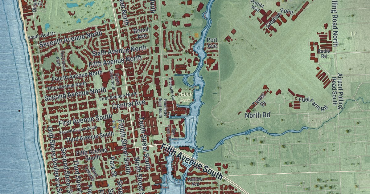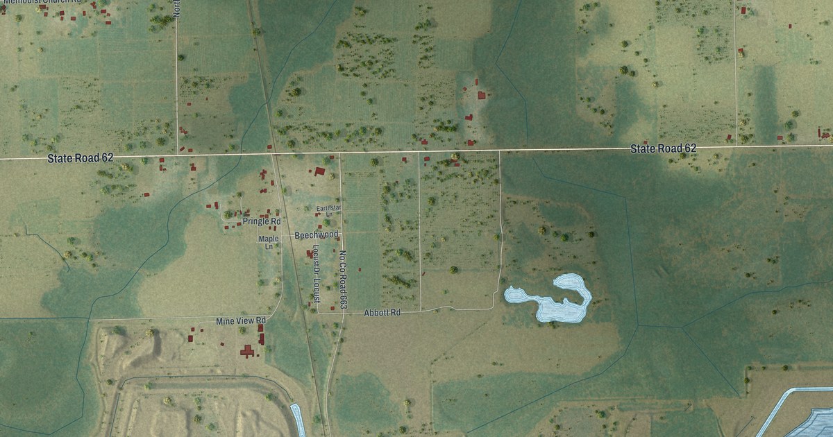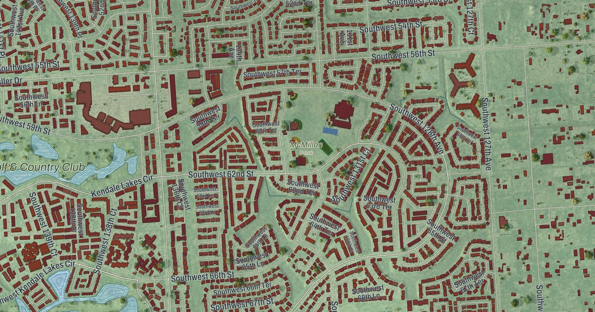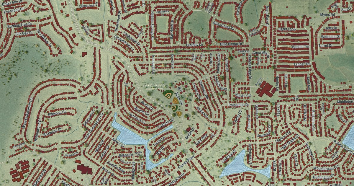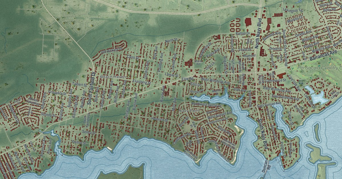
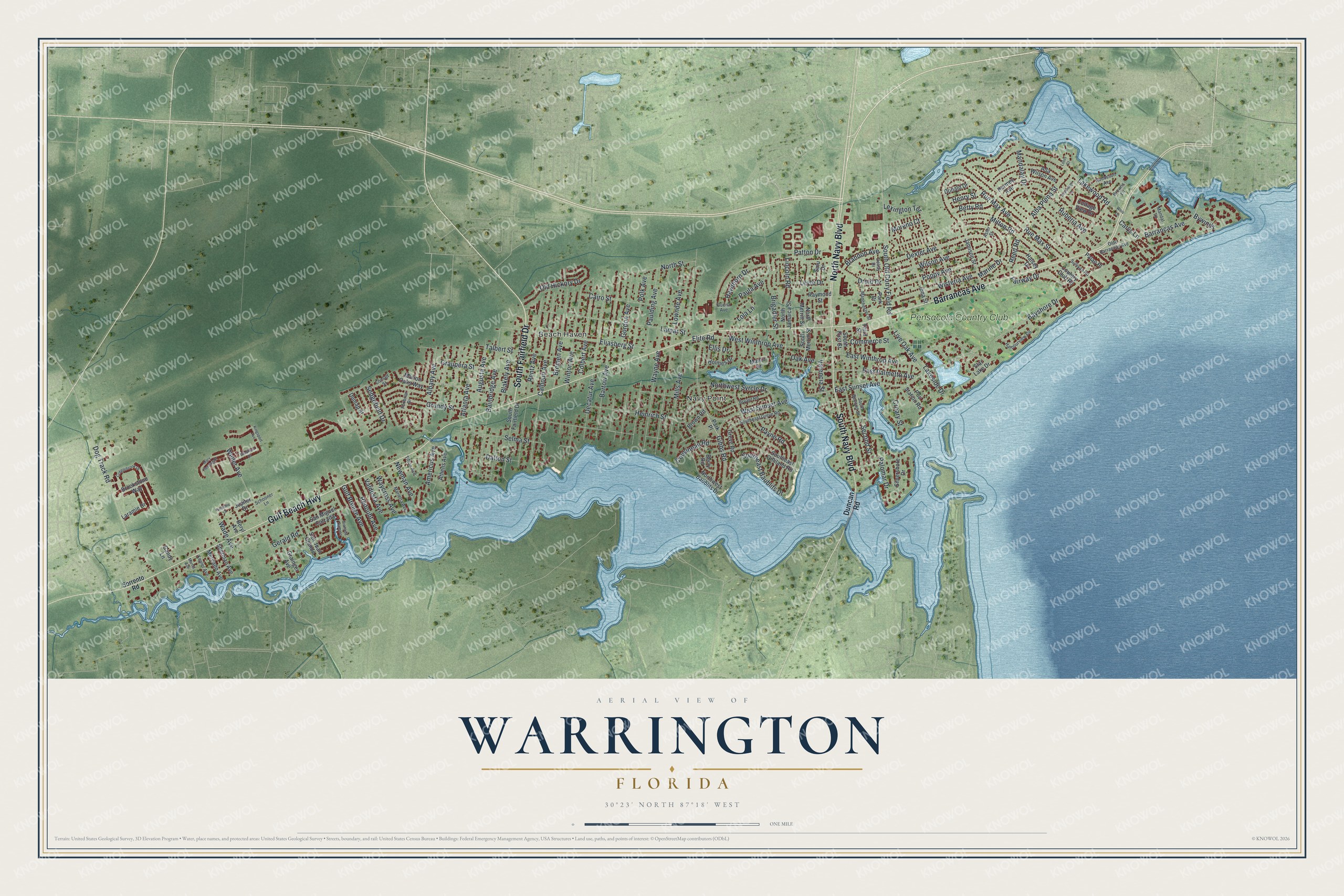
This beautifully detailed map of Warrington, Florida was created in 2026 using aerial imagery combined with modern topographical, census, street and landmark data. It's a modern aerial view of Warrington in Escambia County, Florida, that combines modern data with a vintage aesthetic. The roads feature printed names, and if you look closely you can find your exact house accurately shown in its correct location.
Explore an aerial view of Warrington, Florida
On this map you'll find Beach Haven, Navy Point, Pensacola Country Club, South Fairfield Drive, Gulf Beach Highway, Barrancas Avenue, North Navy Boulevard, South Navy Boulevard, East Sunset Avenue, Live Oak Avenue, East Palmetto Avenue, West Sunset Avenue, and more. Each red shape is a building, so zoom in on the preview and look for yours.
Every town has a first chapter, and Warrington is no exception. Warrington was named for Commodore Lewis Warrington of the U.S. Navy. It grew up in the 1840s, when the Pensacola Navy Yard was first being built. About 1929 the village moved to the banks of Bayou Grande to make way for the expansion of the government facilities. That's from the book Florida Place Names by Allen Morris.
Warrington is a community in Escambia County. The Census Bureau counted 15,218 people here in 2020.
Take a closer look at the Warrington map
Names on this map
These names are printed on this map.
Places: Beach Haven, Navy Point and Pensacola Country Club.
Streets and roads: South Fairfield Drive, Gulf Beach Highway, Barrancas Avenue, North Navy Boulevard, South Navy Boulevard, East Sunset Avenue, Live Oak Avenue, East Palmetto Avenue, West Sunset Avenue, Moreno Court, Fairway Drive, Paula Avenue.
More street names, A to Z
Ada Wilson Avenue, Albany Avenue, Alba Plena Street, Americus Avenue, Aster Street, Athens Avenue, Atlanta Avenue, Audusson Avenue, Augusta Avenue, Bainbridge Avenue, Bartow Avenue, Bayshore Drive, Berry Road, Beryl Avenue, Betty Road, Blakely Avenue, Bradfield Drive, Brandon Avenue, Bremen Avenue, Brigadier Street, Brookstone Way, Brown Road, Browns Lane, Bryant Road, Buena Avenue, Bywinds, Cairo Street, Calhoun Avenue, Carys Lane, Cobblebrook Drive, Colbert Avenue, Commerce Street, Conrad Street, Cottage View Drive, Country Club Road, Cousineau Road, Creary Street, Dalton Street, Decatur Avenue, Delray Drive, Dexter Avenue, Dog Track Road, Donald Drive, Druid Drive, Duncan Road, Dunlap Street, East Winthrop Avenue, Eliasberg Street, Elite Road, Ellis Drive, Foxbriar Drive, Gandy Lane, Gerald Road, Gibbs Road, Gordon Avenue, Grainger Avenue, Granada Camino, Graupera Street, Greve Road, Grundy Street, Gulf Breeze Avenue, Halsey Drive, Harbourview Circle, Hawthorn Drive, Heinrich Street, Henry Street, Hermey Avenue, Holmes Drive, Iona Street, Jamison Street, Jupiter Drive, Kepler Avenue, Kingsport Avenue, Lakeside Drive, Lakewood Road, Lamar Street, Laramie Drive, Lexington Terrace, Leyte Drive, Lincoln Road, Lola Lane, Lotus Court, Lownde Avenue, Manchester Street, Mandalay Drive, Mandal Lane, Manor Drive, Marietta Avenue, Marine Drive, Marion Oaks Way, Martel Avenue, Mary Fleming Drive, Mercado Avenue, Mills Avenue, Milton Road, Neptune Drive, Newman Avenue, North Jamaica Street, North Merritt Street, North Street, Northwest Baublits Drive, Northwest Syrcle Drive, Oak Avenue, Olde Barrancas Avenue, Old Hickory Drive, Palao Place, Palomar Drive, Park Drive, Park Place, Patton Drive, Paulding Avenue, Payne Road, Polk Avenue, Poppy Avenue, Pou Station Road, Raymond Street, Redoubt Avenue, Reed Road, Rentz Avenue, Ruberia Avenue, Rue Max Avenue, Rue Max Street, San Juan Grande, San Miguel Calzada, Schooner Lane, Seamarge Lane, Second Street, Sedgefield Drive, Selma Street, Sherman Avenue, Silvershore Drive, Sorrento Road, Southeast Baublits Drive, Southeast Gilliland Road, Southeast Greve Road, South First Street, South Merritt Street, South Old Corry Field Road, South Second Street, Star Lake Drive, Sullivan Road, Sulu Drive, Talbert Street, Third Street, Tifton Avenue, Valdosta Avenue, Valencia Street, Wade Avenue, Waycross Avenue, Wayne Avenue, Weis Lane, Weller Avenue, West Winthrop Avenue, Wilson Avenue, Winton Avenue, Wisteria Avenue.
See it on a wall
The Warrington map as a framed print. Swipe for more.


Created by KNOWOL in 2026. The buildings are small red shapes, the roads carry their printed names, and shaded relief shows the shape of the land. The title panel reads "AERIAL VIEW OF WARRINGTON, FLORIDA" with 30°23' NORTH 87°18' WEST.
Hang it in the hallway, the office or the cabin, or give it to someone who left Warrington and still calls it home. Open the preview and look for a street you know. See sizes and frames for the Warrington map.