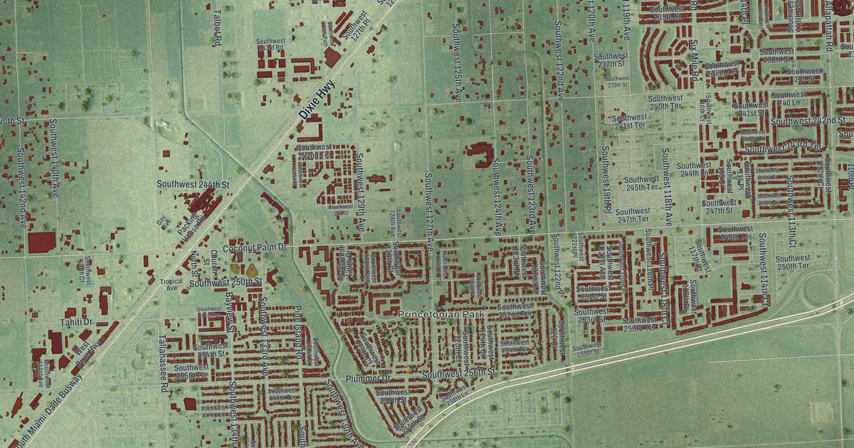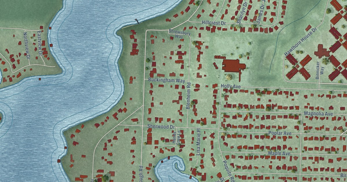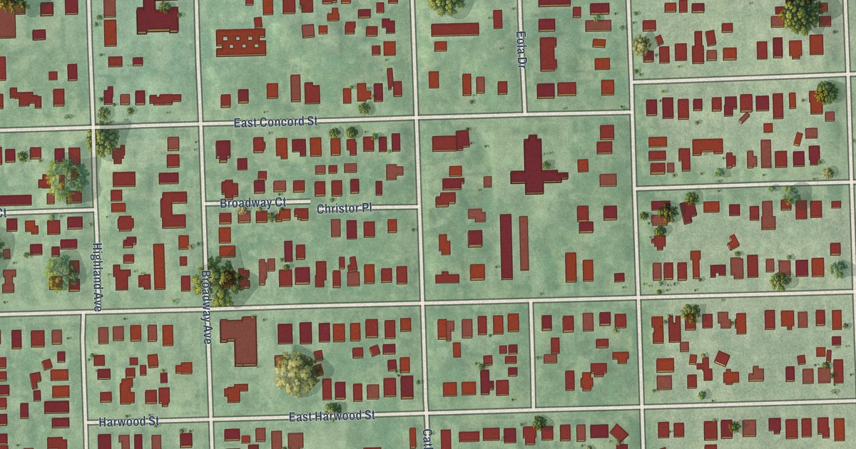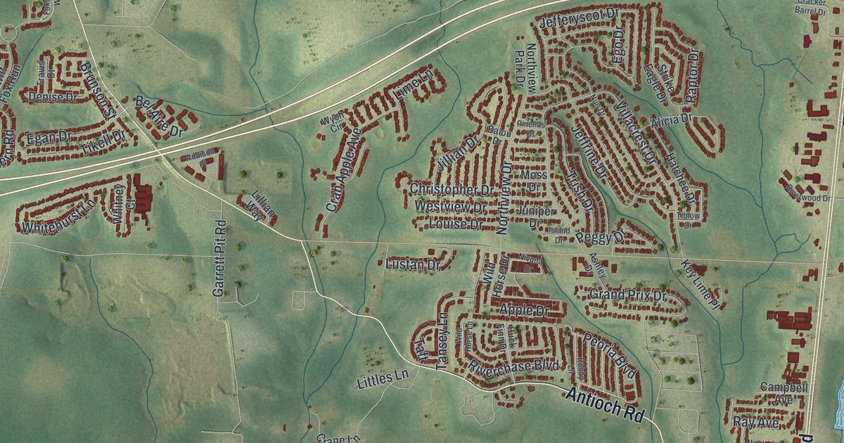
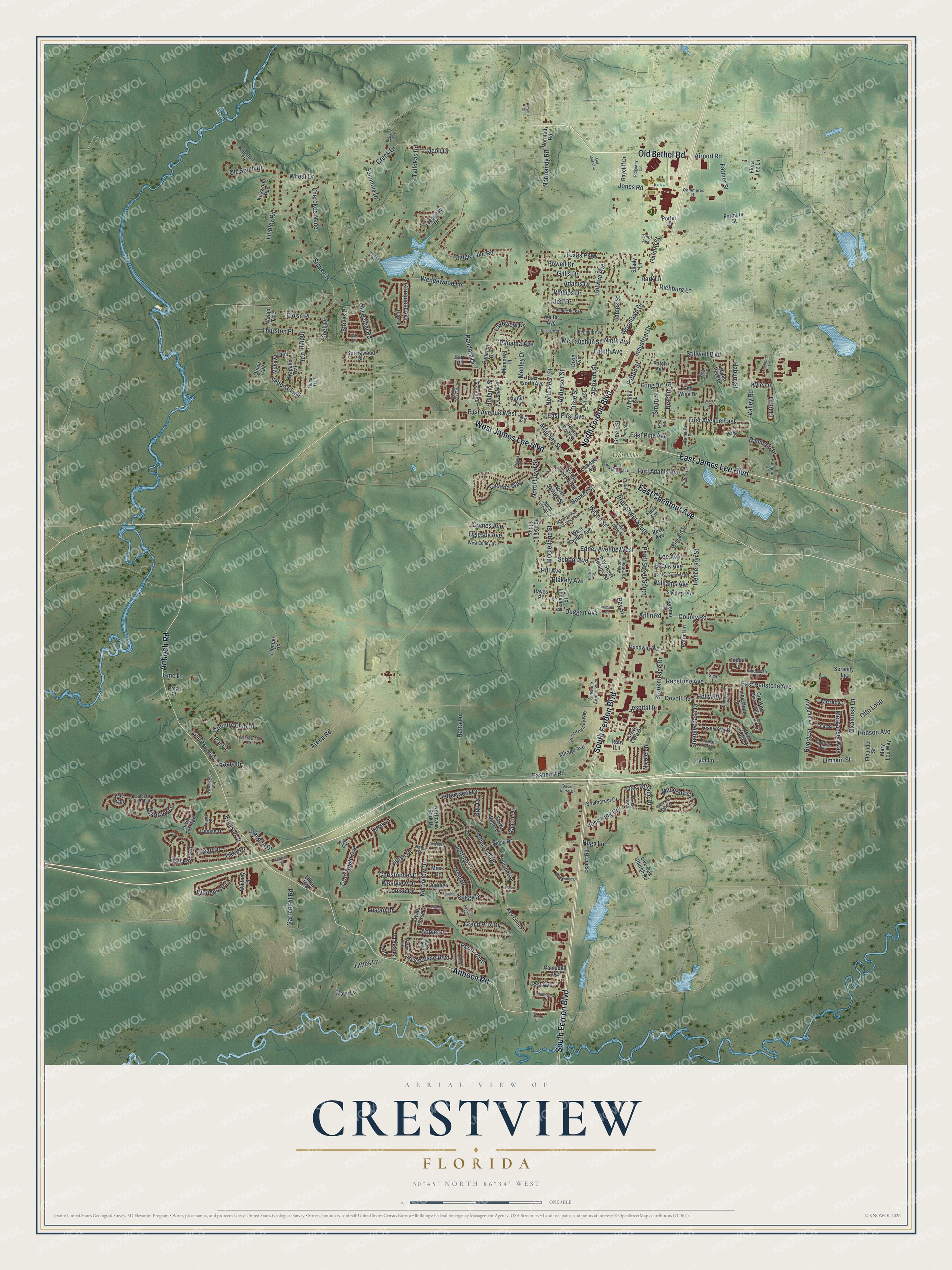
This beautifully detailed map of Crestview, Florida was created in 2026 using aerial imagery combined with modern topographical, census, street and landmark data. It’s a one-of-a-kind view of Crestview that combines accurate data with a vintage aesthetic. The map shows every building in its true location, many of the roads carry their names, and the shaded topographic relief shows the shape of the land.
Explore an aerial view of Crestview, Florida
On the map you’ll find Twin Hills Park, along with South Ferdon Boulevard, North Ferdon Boulevard, Old Bethel Road, East James Lee Boulevard, Antioch Road, West James Lee Boulevard, East Chestnut Avenue, Edney Avenue West, Pandora Drive, East Redstone Avenue, Booker Street, and more. If you look closely you can even find your house accurately drawn in its correct location. Zoom in on the preview to look for yours.
Did You Know?
In 1939, Crestview packed pecans and blueberries and built furniture and cabinets. The blueberry bushes here often grew 12 feet high. Pickers needed stepladders to reach the crop. That’s from the 1939 WPA guide to Florida.
Take a closer look at the Crestview map
Names on this map
These names are printed on this map.
Places: Twin Hills Park.
Streets and roads: South Ferdon Boulevard, North Ferdon Boulevard, Old Bethel Road, East James Lee Boulevard, Antioch Road, West James Lee Boulevard, East Chestnut Avenue, Edney Avenue West, Pandora Drive, East Redstone Avenue, Booker Street, Wilson Street.
More street names, A to Z
Adams Drive, Addison Place, Airport Road, Alabama Street, Alicia Drive, Anderson Street, Apachee Road, Aplin Road, Apple Drive, Arapaho Trail, Arena Road, Ashley Drive, Balou Drive, Barrow Street, Barr Place, Baycliff Drive, Bay Street, Bay Street Southwest, Bel Aire Drive, Benjamin Street, Blakely Avenue, Bracewell Street, Brackin Street, Brendas Way, Brett Street South, Brock Avenue, Brookmeade Drive, Brunson Street, Butler Circle, Cabana Way, Camellia Place, Campbell Avenue, Carr Drive, Caswell Place, Centennial Court, Cherokee Nene, Christopher Drive, Citadel Lane, Commerce Drive, Conquest Avenue, Coremo Drive, Country Club Drive, County Road, Covell Road, Crab Apple Avenue, Cracker Barrel Drive, Crane Lane, Creek Drive, Creve Core Drive, Crooked Pine Trail, Denise Drive, Dixie Avenue, Dixie Street, Duggan Avenue, Eagle Drive, East First Avenue, East North Avenue, East Pine Avenue, East Street, Egan Drive, Ego Drive, Eighth Avenue, Eloise Place, Export Road, Farmers Street, Farmer Street, Field Avenue, First Avenue East, First Avenue West, Flora Lee Lane, Flounder Street, Foxchase Way, Garden Street, Garrett Pit Road, Georgia Street, Gil Ava Avenue, Gillis Drive, Gmc Lane, Golf Course Drive, Goodwin Avenue, Grand Prix Drive, Green Street, Grimes Avenue, Haburn Street, Hampton Drive, Hatchee Drive, Hayes Place, Henderson Street, Hill Avenue, Hobson Avenue, Holland Street, Holly Road, Hospital Drive, Huck Finn Drive, Hugo Lane, Huron Trail, Hyde Park Drive, Indian Trail, Industrial Drive, Island Drive, Jacob Drive, James Street, January Court, Jeff Drive, Jefferyscot Drive, Jeffrine Drive, Jillian Drive, John King Road, Johnson Court, Jones Road, Juniper Drive, Kenneth Avenue, Kenneth Street, Key Lime Place, Kingbird Lane, Kinyard Court, Kirkwood Run, Kyle Lane, Lake Street, Lakeview Drive, Lee Avenue, Lillian Way, Lime Lane, Limestone Circle, Limpkin Street, Lindberg Street, Lindley Road, Littles Lane, Live Oak Church Road, Long Drive, Lonnie Jack Drive, Louise Drive, Lustan Drive, Lyla Lane, Majestic Prince Court, Mapoles Street, Martin Luther King Junior Avenue, Mary Lou Way, McClelland Street, Mc Laughlin Street, Medley Drive, Memorial Place, Merganser Way, Merlin Court, Mill Pond Cv, Mirage Avenue, Mohawk Trail, Moorhen Way, Moss Drive, Navajo Trce, Nicole Lane, Ninth Avenue, Nivana Drive, Normady Road, Normandy Road, North Brett Street, North Lincoln Street, North Lloyd Street, North Pearl Street, North Savage Street, Northview Drive, Northview Lane, Northview Park Drive, Nun Drive, Oakdale Avenue, Oak Terrace Drive, Oglesby Avenue, Okaloosa Lane, Old Jones Road, Old South Drive, Onida Trail, Otto Loop, Palm Circle, Palmetto Drive, Panama Avenue, Panama Drive, Par Court, Park Lane, Patch Avenue, Patriot Lane, Patton Street, Pearl Street South, Peggy Drive, Peoria Boulevard, Petal Place, Phillips Drive, Pinderosa Trail, Pinellas Drive, Pioneer Road, Playground Drive, Porter Lane, Powell Drive, Price-Gregory Way, Purl Adams Avenue, Raptor Drive, Rasberry Road, Ratliff Street, Ray Avenue, Red Fern Road, Redstone Avenue, Redstone Avenue West, Red Wing Drive, Reed Avenue, Retta Lane, Richburg Lane, Ridge Lake Road, Ridgeway Circle, Risen Star Drive, Riva Ridge Drive, Riverchase Boulevard, Riverwood Drive, Robby Lane, Robinson Avenue East, Ruby Lane, Ruddy Street, Sabre Drive, Sandstone Trail, School Avenue, Seminole Drive, Seneca Trail, Serenity Lane, Shady Lane, Shell Drive, Shortwell Avenue, Silver Tip Trail, Sioux Circle, Smith Street, Southcrest Drive, South Lloyd Street, South Main Street, Split Creek Drive, Spring Creek Boulevard, Springwood Circle, Steeplechase Drive, Steves Place, Stillwell Boulevard, Strike Eagle Drive, Swaying Pine Court, Swift Fox Run, Taft, Tallokas Road, Tansey Lane, Teal Street, Territory Lane, Texas Parkway, Third Avenue, Thurston Place, Tiblow Drive, Tiffot Court, Tikell Drive, Trailwood Lane, Tranquility Drive, Travis Court, Trevor Court, Trish Drive, Triton Street, Vale Loop, Valley Road, Victory Lane, Villacrest Drive, Virginia Court, Virginia Street, Walter Avenue, Water Oak Lane, Wedgewood Court, Wedgewood Lane, West Edney Avenue, West Griffith Avenue, West Old Mill Way, Westview Drive, Wheat Drive, Whitehurst Lane, Whitney Court, Wild Horse Drive, Wild Horse Lane, Williams Avenue, Wilson Street North, Wilson Street South, Wingard Street, Woodlawn Drive, Wych Circle.
See it on a wall
The Crestview map as a framed print. Swipe for more.


This beautifully detailed map of Crestview makes an attractive addition to your office, library, or den, and it can even be used to teach children the geography and history of the area. It also makes a great gift for someone who left Crestview and still calls it home. When you’re done exploring, click here to get your copy of the Crestview map.