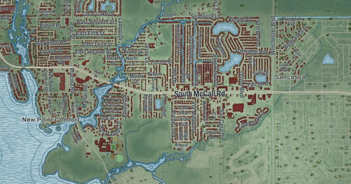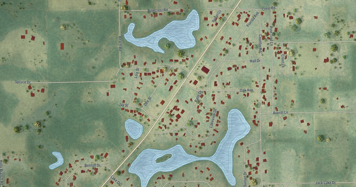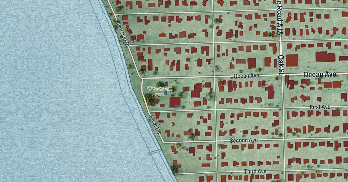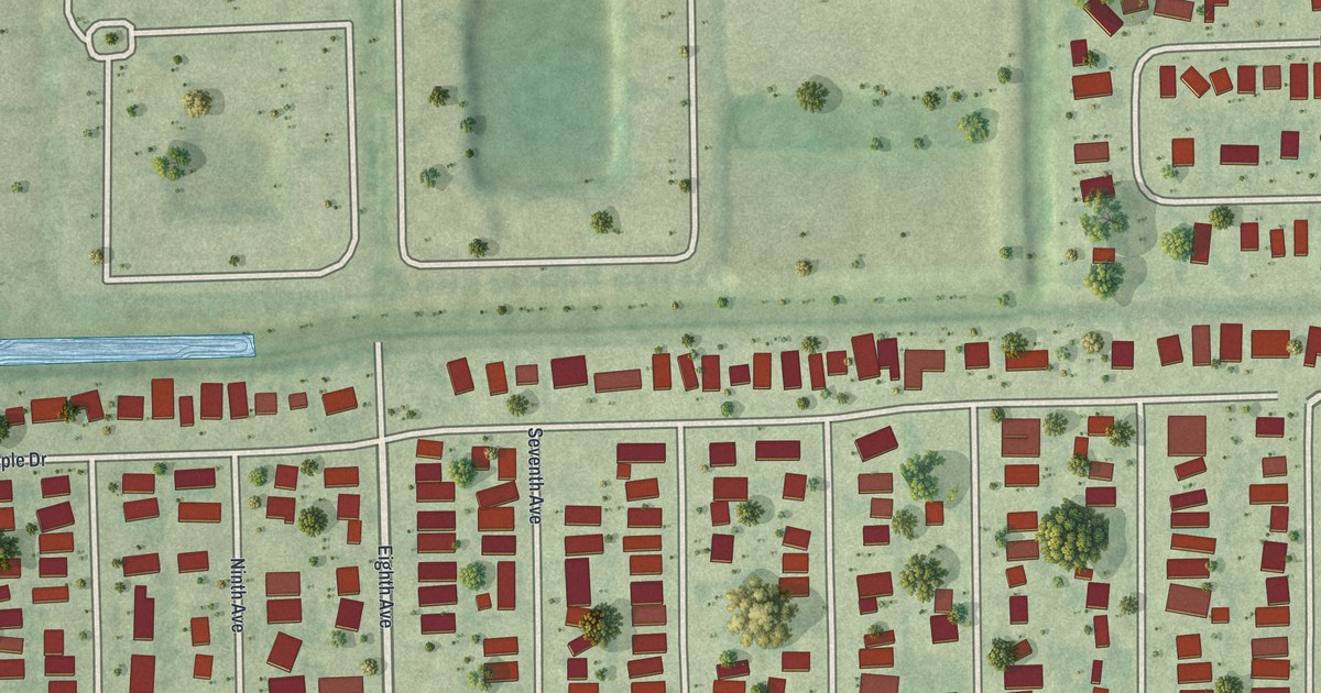
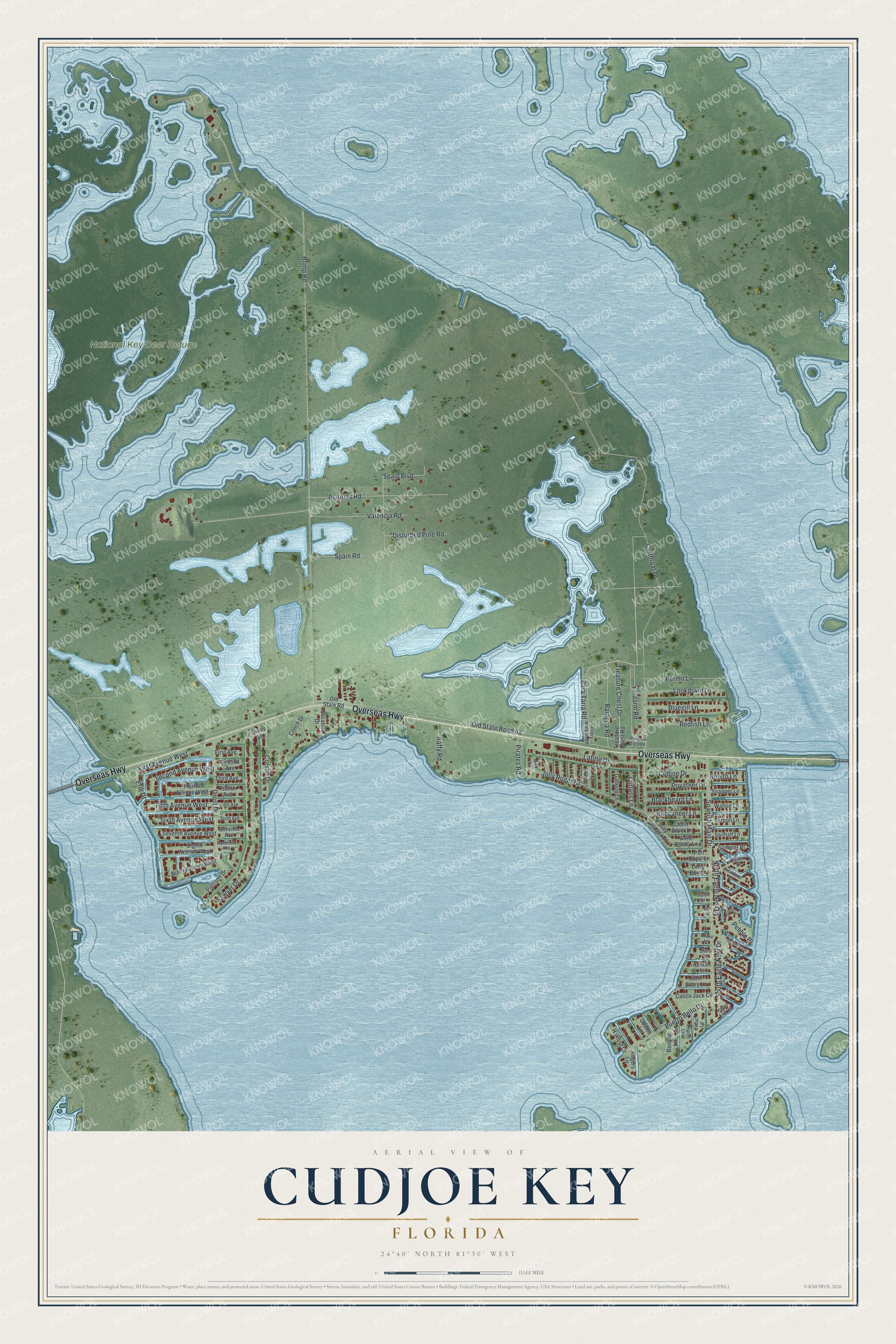
This beautifully detailed map of Cudjoe Key, Florida was created in 2026 using aerial imagery combined with modern topographical, census, street and landmark data. It's a modern aerial view of Cudjoe Key in Monroe County, Florida, that combines modern data with a vintage aesthetic. The roads feature printed names, and if you look closely you can find your exact house accurately shown in its correct location.
Explore an aerial view of Cudjoe Key, Florida
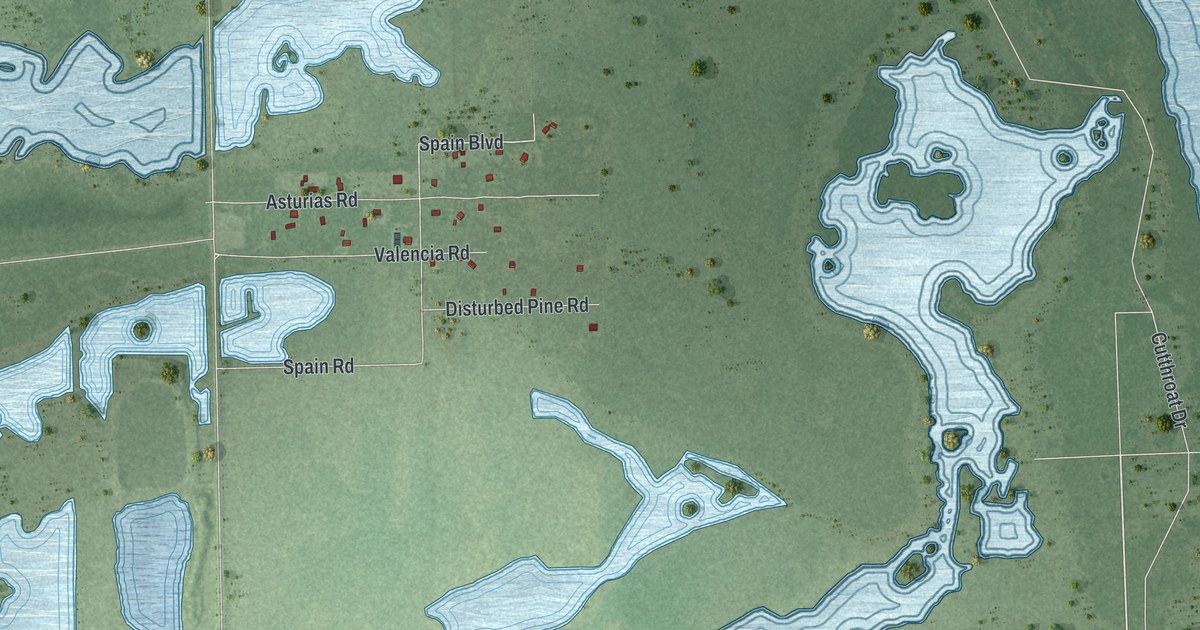
On this map you'll find National Key Deer Refuge, Overseas Highway, Blimp Road, Drost Drive, North Eagle Nest Drive, Pebble Place, Spain Boulevard, Old State Road 4a, Cutthroat Drive, Spanish Main Drive, Sawyer Drive, Jolly Roger Drive, and more. Each red shape is a building, so zoom in on the preview and look for yours.
Cudjoe Key is a community in Monroe County. The Census Bureau counted 2,019 people here in 2020. Cudjoe Key sits about 9 miles west of Big Pine Key, 12 miles northeast of Big Coppitt Key and 17 miles northeast of Stock Island. The map prints the town name in its title panel, with the coordinates below it.
Take a closer look at the Cudjoe Key map
Names on this map
These names are printed on this map.
Places: National Key Deer Refuge.
Streets and roads: Overseas Highway, Blimp Road, Drost Drive, North Eagle Nest Drive, Pebble Place, Spain Boulevard, Cutthroat Drive, Spanish Main Drive, Sawyer Drive, Jolly Roger Drive, Spain Road, Asturias Road.
More street names, A to Z
Anne Bonny Lane, Arica Lane, Baracoa Road, Bara Taria Road, Basque Lane, Bimini Circle, Blackbeard Lane, Bluegill Lane, Bonito Lane, Buccaneer Lane, Calico Jack Circle, Captain Kidd Lane, Coates Lane, Colson Drive, Conch Drive, Coxon Lane, Cudjoe Drive, Cutlass Lane, Dirk Lane, Disturbed Pine Road, Dolphin Lane, Doubloon Lane, Drake Lane, Eighth Avenue West, Erie Drive, Fifth Avenue, Fifth Avenue West, First Avenue, First Avenue West, Fourth Avenue, Fourth Avenue West, Galleon Lane, Gallion Lane, Hakluyt Lane, Hamilton Avenue, Hawkins Lane, Henry Morgan Road, John Avery Lane, John Silver Lane, Jolly Rodger Drive, Labat Lane, Lafitte Drive, Le Grand Lane, Long Ben Lane, Lookdown Lane, Ninth Avenue West, Old State Road, Parks End Road, Pattison Drive, Permit Lane, Pieces of Eight Road, Pirates Road, Port Royal Lane, Privateer Drive, Puerto Bello Drive, Raffy Road, Redfish Lane, Rogers Lane, Sacarma Drive, Sailfish Lane, Second Avenue, Second Avenue West, Seventh Avenue, Seventh Avenue West, Sharp Lane, Sixth Avenue, Sixth Avenue West, Snapper Lane, South Eagle Nest Drive, Summer Place, Sunny Lane, Tarpon Lane, Thatch Lane, Third Avenue, Treasure Chest Drive, Treasure Chest Road, Valencia Road, Wahoo Lane, Yardarm Road.
See it on a wall
The Cudjoe Key map as a framed print. Swipe for more.


Created by KNOWOL in 2026. The buildings are small red shapes, the roads carry their printed names, and shaded relief shows the shape of the land. The title panel reads "AERIAL VIEW OF CUDJOE KEY, FLORIDA" with 24°40' NORTH 81°30' WEST.
It looks right in a kitchen, an office or a den, and it's a gift for anyone who grew up in Cudjoe Key or moved away. Open the preview and find your street. See sizes and frames for the Cudjoe Key map.