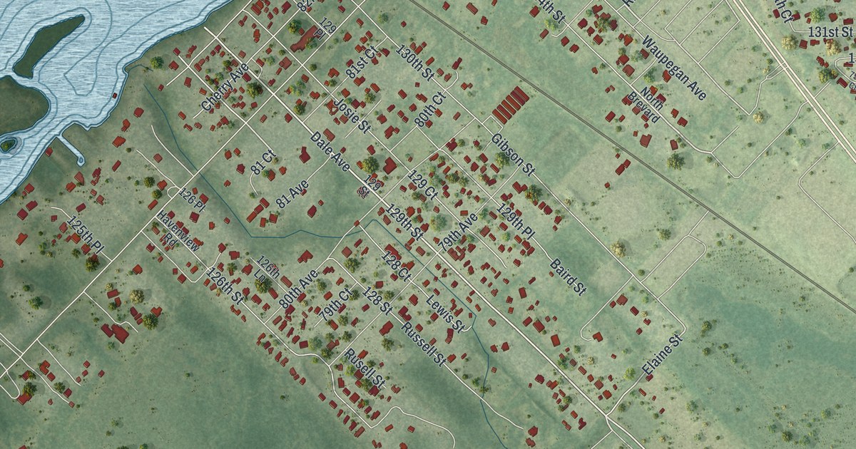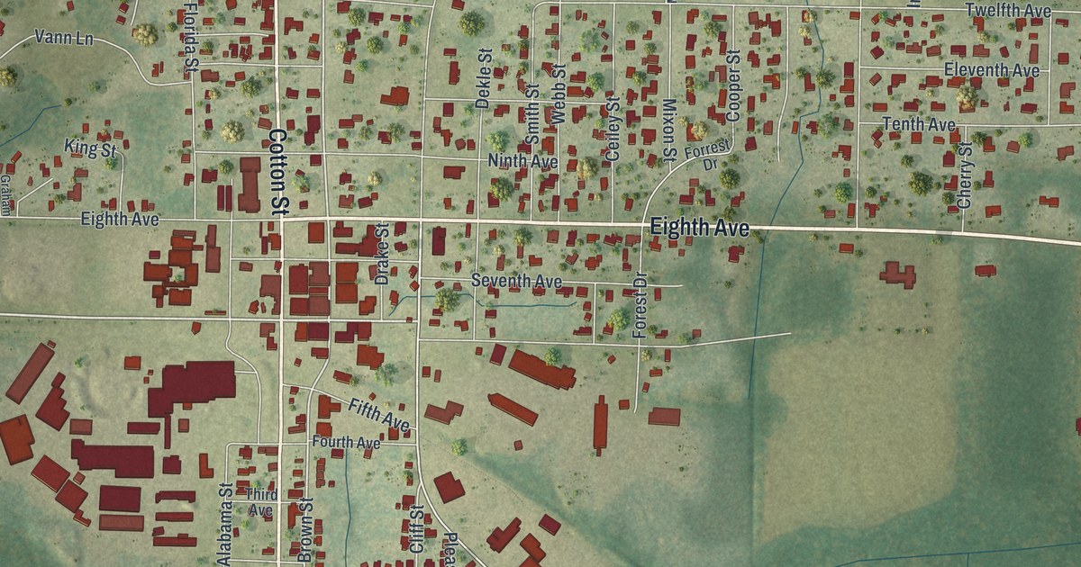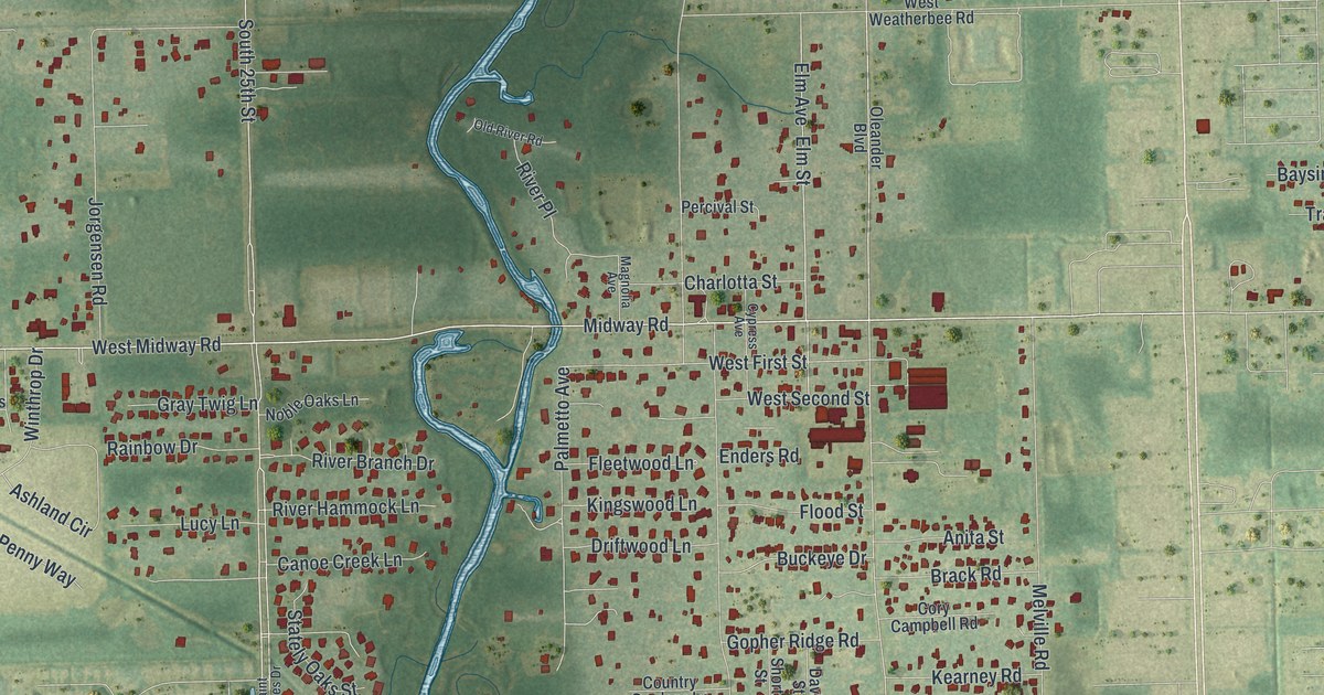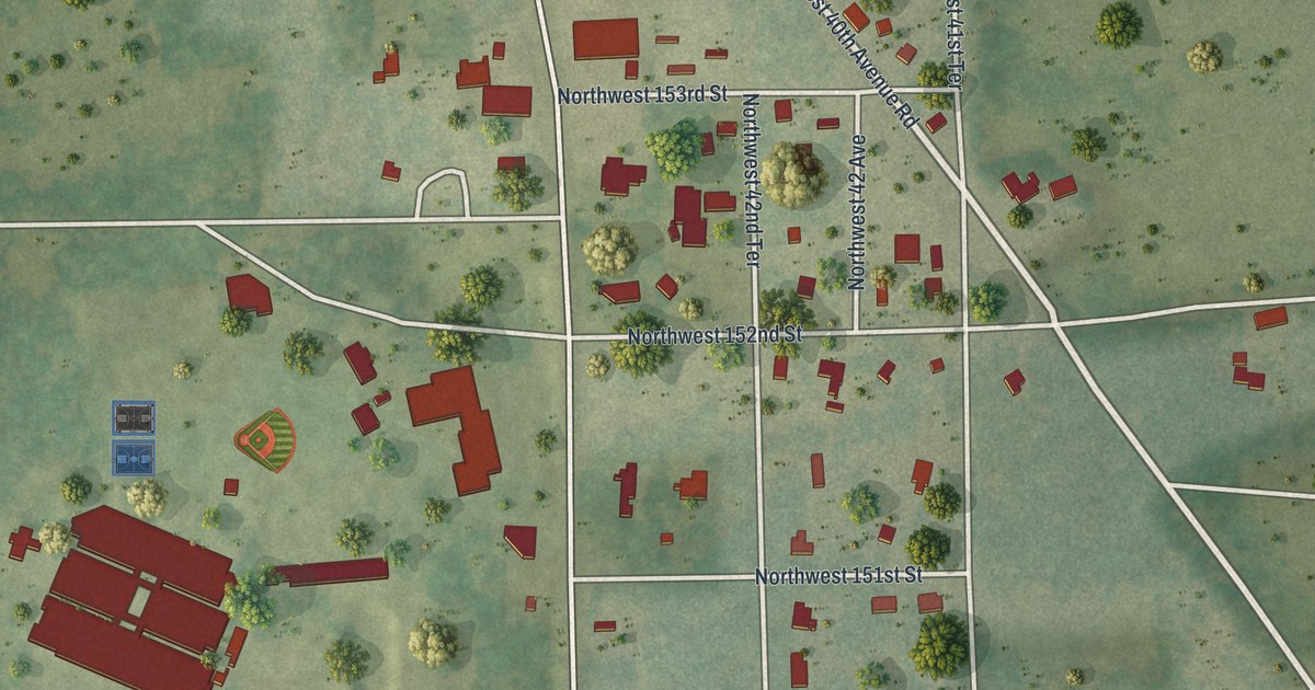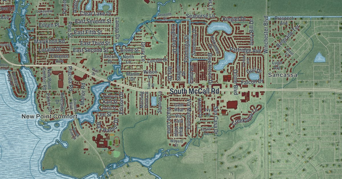
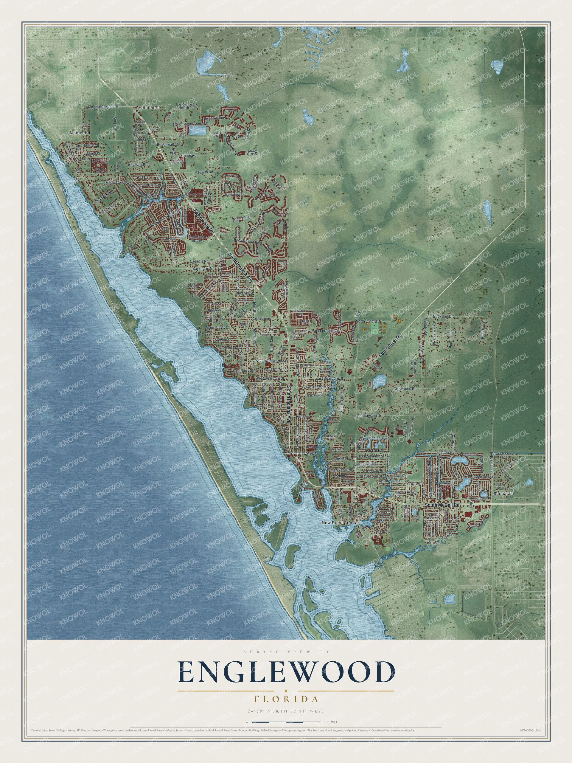
This beautifully detailed map of Englewood, Florida was created in 2026 using aerial imagery combined with modern topographical, census, street and landmark data. It’s a one-of-a-kind view of Englewood that combines accurate data with a vintage aesthetic. The map shows every building in its true location, many of the roads carry their names, and the shaded topographic relief shows the shape of the land.
Explore an aerial view of Englewood, Florida
On the map you’ll find Woodmere, Manasota, New Point Comfort, and Sancassa, along with South Indiana Avenue, North Indiana Avenue, South River Road, South McCall Road, Englewood Road, Manasota Beach Road, Old Englewood Road, Riverview Avenue, and more. If you look closely you can even find your house accurately drawn in its correct location. Zoom in on the preview to look for yours.
Take a closer look at the Englewood map
Names on this map
These names are printed on this map.
Places: Woodmere, Manasota, New Point Comfort and Sancassa.
Streets and roads: South Indiana Avenue, North Indiana Avenue, South River Road, South McCall Road, Englewood Road, Manasota Beach Road, Old Englewood Road, Riverview Avenue, East Dearborn Street, West Perry Street, West Perry Lane, West Dearborn Street.
More street names, A to Z
Abaco Falls Drive, Abercrombie Avenue, Alamander Avenue, Allen Street, Alston Drive, Aqua View Lane, Artists Avenue, Aspen Road, Backspin Drive, Baja Viejo, Bay Harbor Drive, Bay Park Boulevard, Bayshore Drive, Bay Street, Bay Vista Boulevard, Beach Dune Drive, Beach Road, Beachwalk Drive, Belgrade Terrace, Belle Road, Bixel Lane, Blue Heron Drive, Bob White Drive, Boca Royale Boulevard, Brengle Avenue, Bridge Street, Bright Water Drive, Brown Street, Buckskin Court, Buckskin Drive, Burr Lane, Cam Real, Canal Road, Cedar Street, Chadwick Road, Clear Lake Drive, Coastal Blue Drive, Columbia Drive, Coral Harbour Drive, Coral Shore Drive, Cortes Drive, Creek Lane Drive, Creekview Lane, Crest Drive, Crestview Drive, Crestwood Road, Crystal Cay Court, Crystal River Drive, Curtis Boulevard, Cypress Forest Drive, Davis Lane, Deer Lane, Doctors Drive, Dominica Drive, Donovan Road, Dover Drive, Driver Lane, Drury Lane, East Cowles Street, East Crest Drive, East Fifth Street, East Langsner Street, East Manasota Beach Road, East Second Street, East Seventh Street, East Third Street, Eden Drive, Edison Drive, Edwards Street, Eileen Place, Elijo Court, Elm Street, Englewood Golf Boulevard, Englewood Isles Parkway, Fairview Drive, Falcon Drive, Faldo Lane, Fifth Street, Firethorn Avenue, Flamingo Drive, Florence Avenue, Forked Creek Drive, Fossil Drive, Fox Drive, Foxwood Boulevard, Gladstone Boulevard, Golf View Drive, Grande Fairway, Grant Street, Gull Drive, Haligan Way, Hamlet Drive, Harmony Lane, Harvard Street, Harvey Street, Hogan Circle, Hole in One Place, Ibis Drive, Indian River Lane, Iowa Avenue, Irwin Drive, Ivory Bill Drive, Ivy Lane, Kant Street, Keyway Road, Key Way Road, Kilbourne Avenue, Kingfisher Drive, Kinglet Drive, Kiskadee Drive, Knights Lane, Lakeview Lane, Lakeview Place, Lampp Drive, Larchmont Drive, Leach Street, Lee Circle, Lee Street, Lemon Avenue, Lemon Bay Drive, Lewis Street, Lincoln Drive, Linden Drive, Loralin Drive, Lord Street, Lugo Avenue, Magnolia Avenue, Manor Road, Maria Street, Martin Drive, Maryknoll Road, McDermott Court, Medical Boulevard, Medical Drive, Melody Road, Michigan Avenue, Morning Dove Lane, Morningside Drive, Morrison Avenue, Neptune Drive, New Point Comfort Road, Newton Street, Nicklaus Court, Ninth Street, Norman Drive, North Boundary Road, North Bridge Street, North Broadway Road, North Cayman Isles Boulevard, North Elm Street, North Fiji Circle, North Lane, North McCall Road, North New York Avenue, North Oxford Drive, Oakwood Circle, Ochre Lane, Ohio Avenue, Oleander Street, Olive Street, Oriole Boulevard, Osceola Road, Overbrook Road, Owl Drive, Palmetto Street, Palomino Trail, Paradise Shores Drive, Parker Drive, Park Forest Boulevard, Partridge Avenue, Paul Morris Drive, Pearl Lake Circle, Perimeter Drive, Pinebay Boulevard, Pine Glen Court, Pine Street, Pinto Trail, Placida Road, Power Line Road, Prospect Avenue, Raphis Royale Boulevard, Riverside Drive, Royal Shores Drive, Rusty Marshall Drive, Saint Clair Road, San Casa Drive, Sanderling Drive, Sandlor Drive, San Remo Point Drive, Seabrooke Drive, Seagull Drive, Seahorse Lane, Seastone Circle, Selma Avenue, Seventh Street, Shadow Lane, Shane Road, Sheltering Sprouce Street, Sixth Street, South Broadway, Southbrook Drive, South Buena Vista Avenue, South Fiji Circle, South Mango Street, South New York Avenue, South Oxford Drive, South Pine Street, Stewart Street, Stoner Road, Stout Street, Stratford Road, Sun Isle Drive, Sunset Drive, Talquin Court, Tangerine Woods Boulevard, Texas Street, Thomas Street, Titania Road, Tomoka Drive, Topelis Drive, Tudor Road, Ulrey Street, Van Gogh Road, Via Cala, Via de Luna, Via Madonna, Viburnum Place, Virginia Lane, Viridian Street, Wall Street, Waterford Drive, Weiskopf Drive, Wekiva River Court, West Dolphin Drive, West Wentworth Street, Weyers Court, Whispering Pines Circle, Wilson Drive, Winchester Boulevard, Windsor Drive, Yale Street, Yosemite Drive.
See it on a wall
The Englewood map as a framed print. Swipe for more.


This beautifully detailed map of Englewood makes an attractive addition to your office, library, or den, and it can even be used to teach children the geography and history of the area. It also makes a great gift for someone who left Englewood and still calls it home. When you’re done exploring, click here to get your copy of the Englewood map.