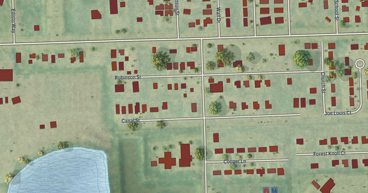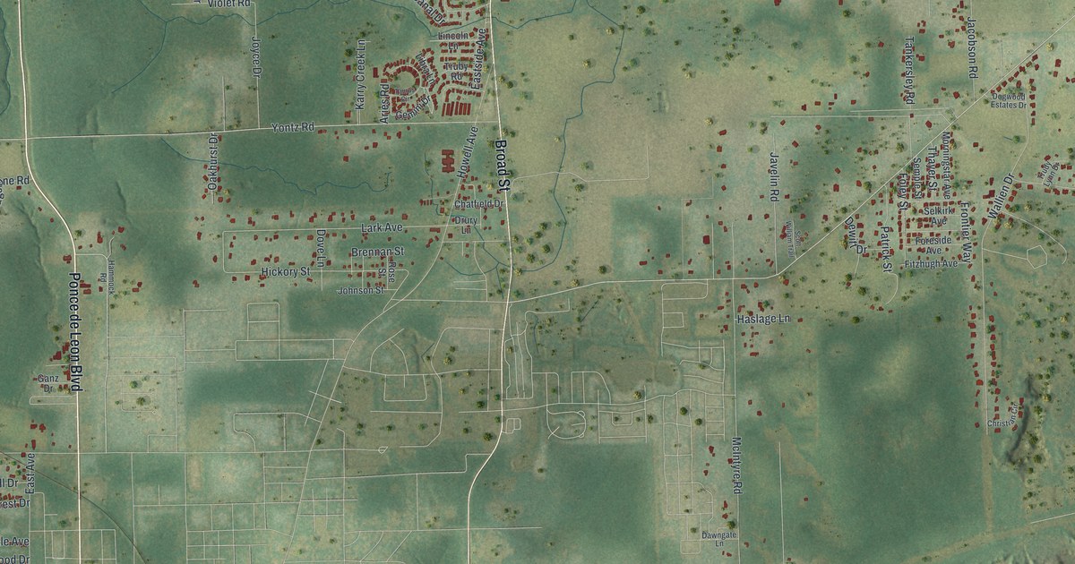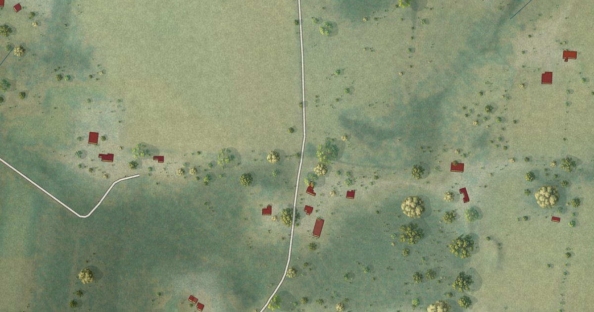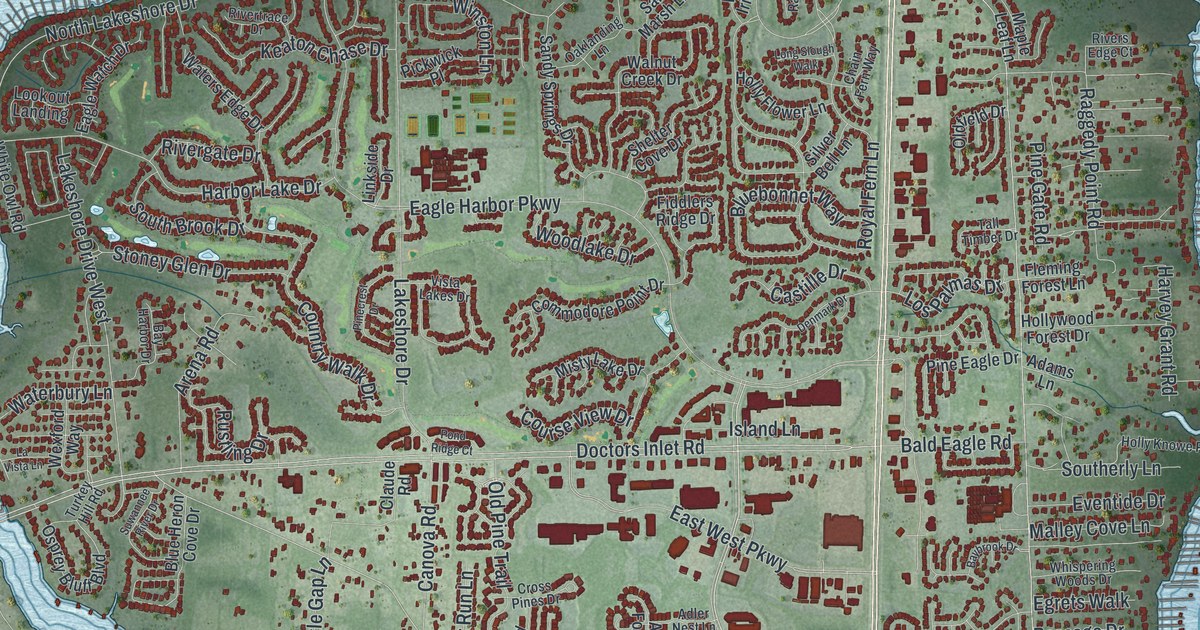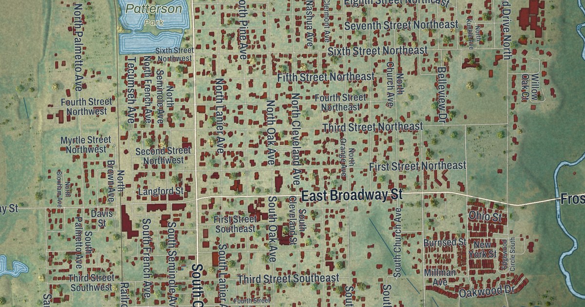
This beautifully detailed map of Fort Meade, Florida was created in 2026 using aerial imagery combined with modern topographical, census, street and landmark data. It’s a one-of-a-kind view of Fort Meade that combines accurate data with a vintage aesthetic. The map shows every building in its true location, many of the roads carry their names, and the shaded topographic relief shows the shape of the land.
Explore an aerial view of Fort Meade, Florida
On the map you’ll find Patterson Park and Pembroke, along with South Charleston Avenue, East Broadway Street, North Charleston Avenue, Frostproof Highway, South Hendry Avenue, Ninth Street Southeast, Ninth Street Northeast, Sixth Street Northeast, Mount Pisgah Road, Third Street Northeast, and more. If you look closely you can even find your house accurately drawn in its correct location. Zoom in on the preview to look for yours.
Did You Know?
No city in Polk County is older than Fort Meade. It began in 1849 as a fort on a new military road from Tampa to Fort Pierce. Lieutenant George Meade picked the site, and his commander named the post for him.
Take a closer look at the Fort Meade map
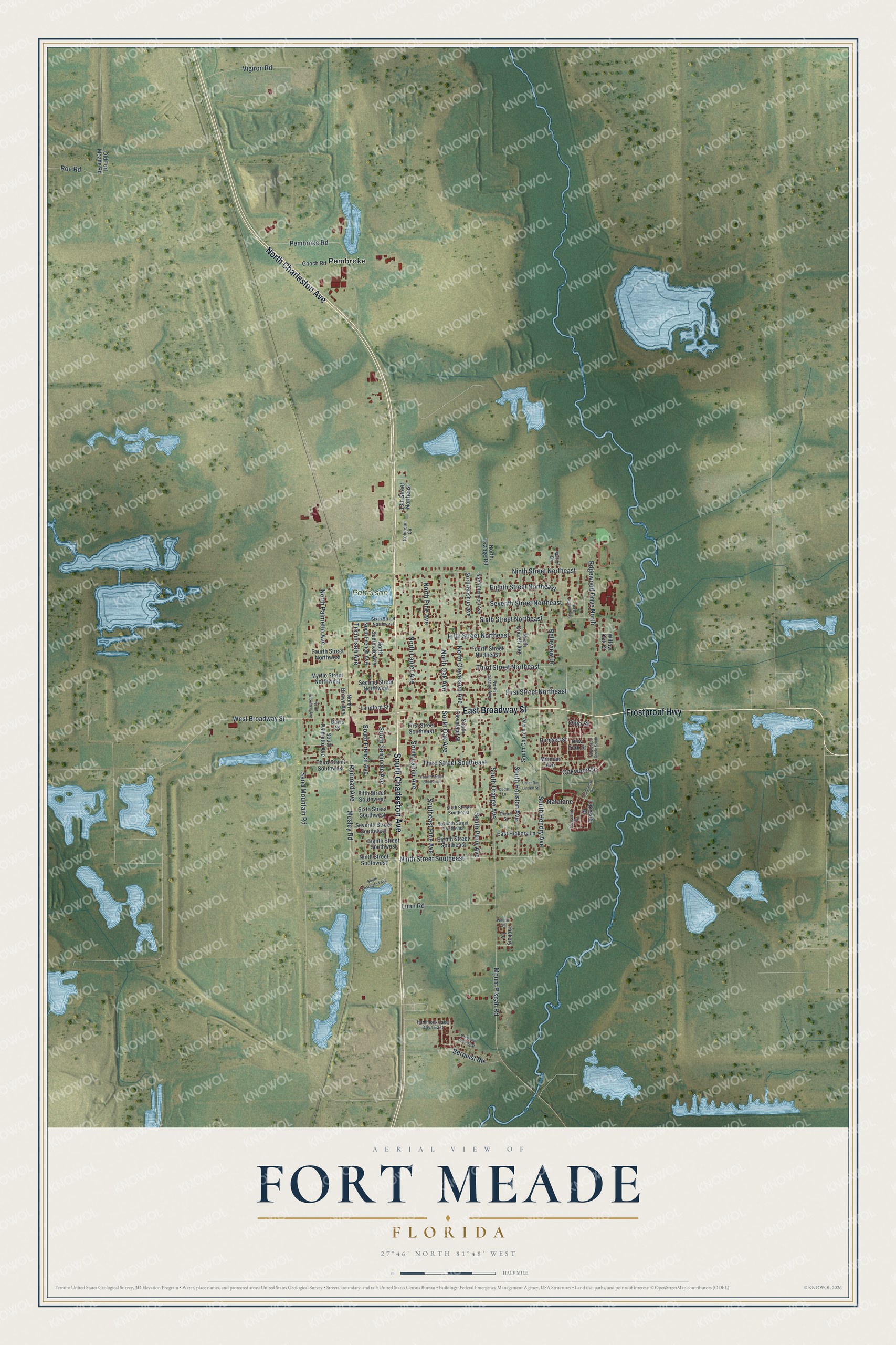
Names on this map
These names are printed on this map.
Places: Patterson Park and Pembroke.
Streets and roads: South Charleston Avenue, East Broadway Street, North Charleston Avenue, Frostproof Highway, South Hendry Avenue, Ninth Street Southeast, Ninth Street Northeast, Sixth Street Northeast, Mount Pisgah Road, Third Street Northeast, West Broadway Street, South Oak Avenue.
More street names, A to Z
13th Street Northeast, Belleview Drive, Berquist Road, Burnsed Street, Cedar Lane, Clubhouse Drive, Crescent Drive, Davis Street, Dixon Street, East Hickory Lane, Edgewood Circle South, Edgewood Drive North, Eighth Street Northeast, Eighth Street Southeast, Eighth Street Southwest, Fifth Street Northeast, Fifth Street Southwest, First Street Northeast, First Street Southeast, Fourth Street Northeast, Fourth Street Northwest, Fourth Street Southeast, Gooch Road, Hammock Lake Drive East, Hickory Lane, Lakeside Drive, Lakeview Drive East, Langford Street, Lunn Road, Marion Circle, Millman Avenue, Mosley Road, Myrtle Street Northwest, Natalane, New York Street, Ninth Street Southwest, North Bloxham Avenue, North Brown Avenue, North Church Avenue, North Clermont Avenue, North Cleveland Avenue, North French Avenue, North Kunkle Avenue, North Lanier Avenue, North Nashua Avenue, North Oak Avenue, North Orange Avenue, North Orange Road, North Palmetto Avenue, North Pine Avenue, North Seminole Avenue, Oakwood Drive, Ohio Street, Old Fort Meade Road, Pembroke Road, Railroad Avenue, Robinson Circle, Roe Road, Sand Mountain Road, Second Street Northwest, Seventh Street Northeast, Seventh Street Southeast, Seventh Street Southwest, Sixth Street Northwest, Sixth Street Southeast, Sixth Street Southwest, South Church Avenue, South Cleveland Street, Southeast Pine Avenue, South French Avenue, South Houston Avenue, South Lanier Avenue, South Orange Avenue, South Palmetto Avenue, South Perry Avenue, South Seminole Avenue, Tecumseh Avenue, Third Street Southeast, Third Street Southwest, Unter Din Linden Street, Vigiron Road, Walnut Street, Willow Oak Court.
See it on a wall
The Fort Meade map as a framed print. Swipe for more.


This beautifully detailed map of Fort Meade makes an attractive addition to your office, library, or den, and it can even be used to teach children the geography and history of the area. It also makes a great gift for anyone who grew up in Fort Meade or moved away. When you’re done exploring, click here to get your copy of the Fort Meade map.