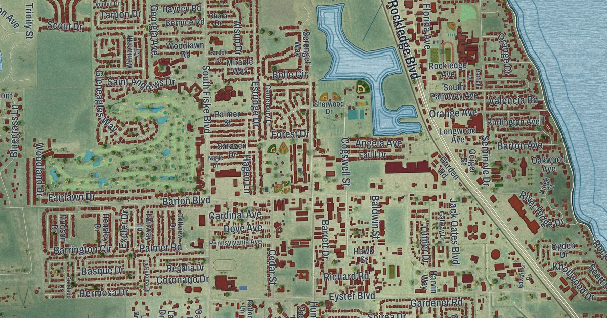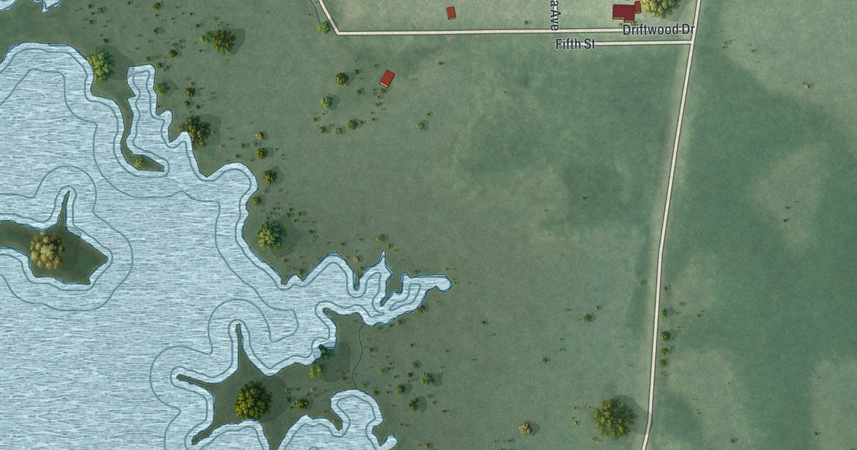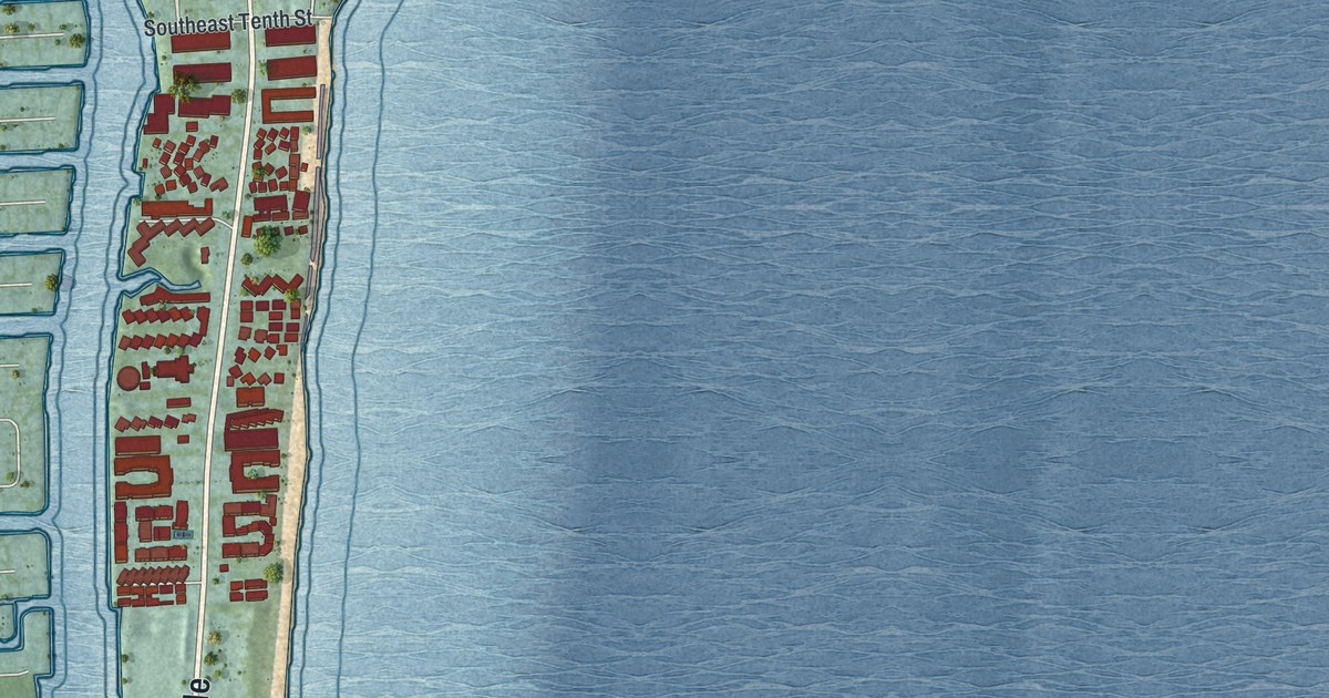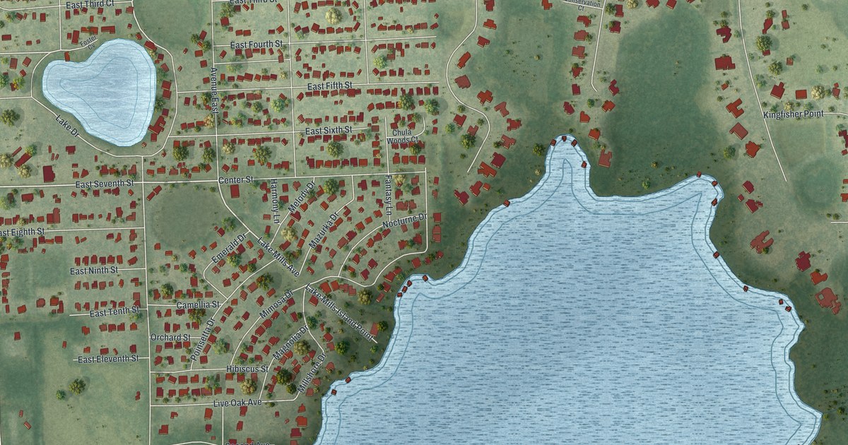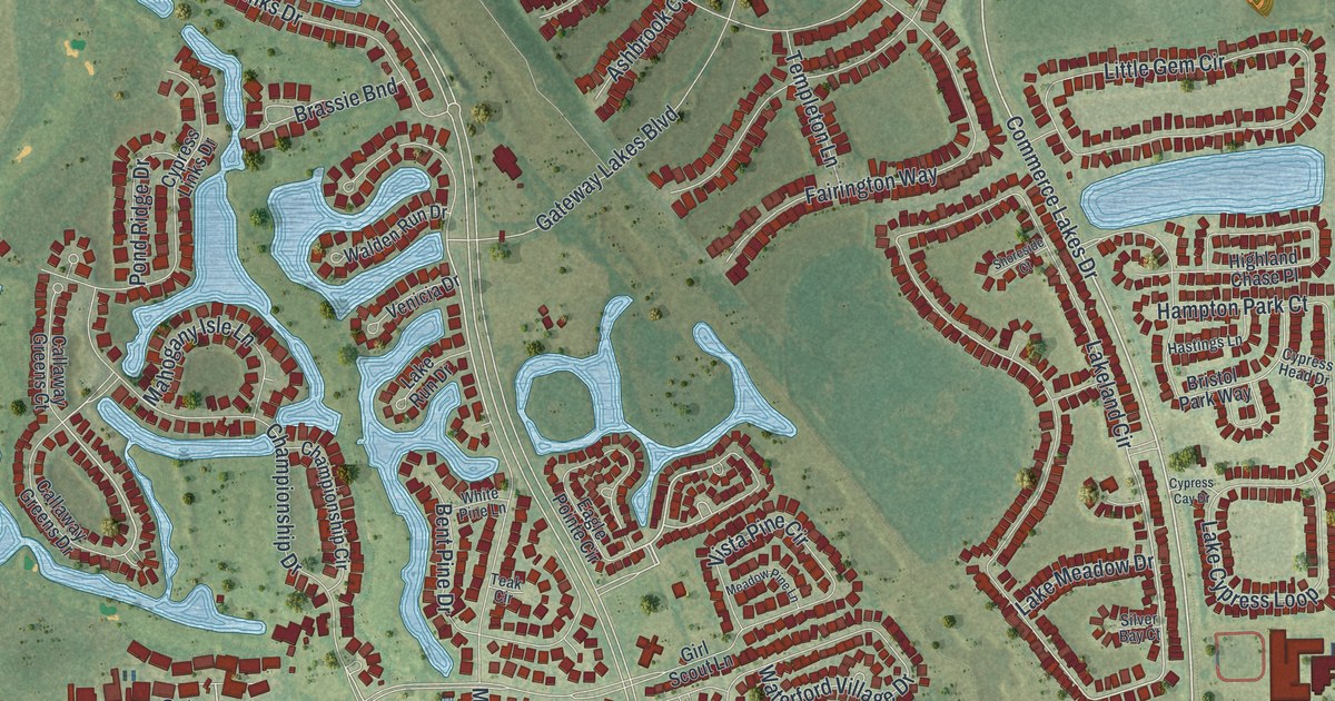
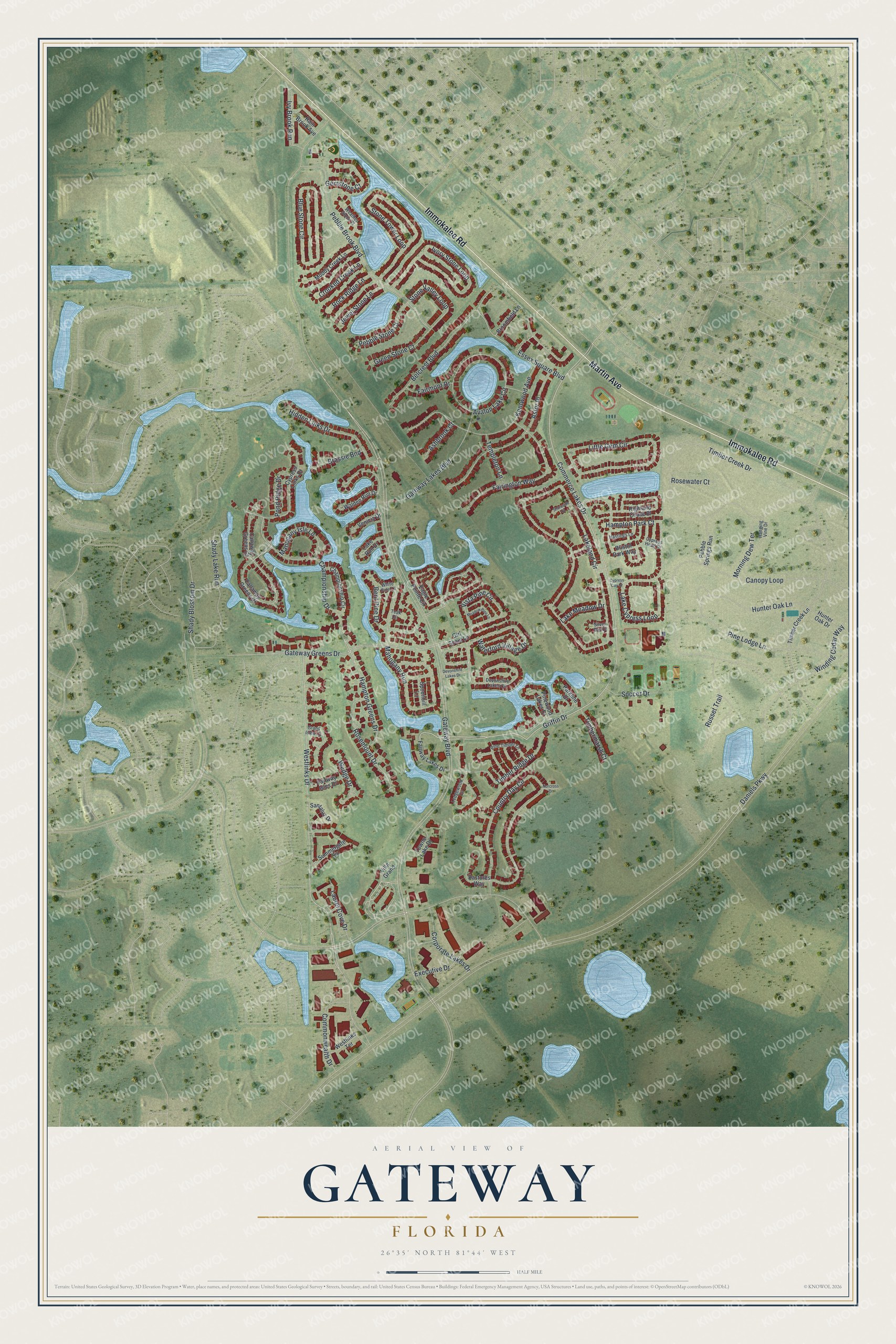
This beautifully detailed map of Gateway, Florida was created in 2026 using aerial imagery combined with modern topographical, census, street and landmark data. It's a modern aerial view of Gateway in Lee County, Florida, that combines modern data with a vintage aesthetic. The roads feature printed names, and if you look closely you can find your exact house accurately shown in its correct location.
Explore an aerial view of Gateway, Florida
On this map you'll find Immokalee Road, Martin Avenue, Griffin Drive, Commerce Lakes Drive, Westlinks Drive, Mahogany Run, Gateway Boulevard, Championship Drive, Hampton Greens Drive, Lakeland Circle, Waterford Village Drive, Daniels Parkway, and more. Each red shape is a building, so zoom in on the preview and look for yours.
Gateway has a story worth telling. The Gateway Services Community Development District, founded by WCI Communities, was set up on May 22, 1986, under Florida law. From the start it took on the planned community's stormwater management, its drinking and irrigation water and its street lighting. That's from the Gateway Services District.
Gateway is a community in Lee County. The Census Bureau counted 10,376 people here in 2020. Gateway sits about 5 miles south of Buckingham, 6 miles southeast of Fort Myers and 7 miles east of Page Park. The map prints the town name in its title panel, with the coordinates below it.
Take a closer look at the Gateway map
Names on this map
These names are printed on this map.
Streets and roads: Immokalee Road, Martin Avenue, Griffin Drive, Commerce Lakes Drive, Westlinks Drive, Mahogany Run, Gateway Boulevard, Championship Drive, Hampton Greens Drive, Lakeland Circle, Waterford Village Drive, Daniels Parkway.
More street names, A to Z
Ashbrook Court, Astor Place, Avalon Lake Circle, Belcrest Boulevard, Bent Pine Drive, Blue Stone Circle, Brassie Bnd, Bristol Park Way, Broomfield Lane, Callaway Greens Court, Callaway Greens Drive, Canopy Loop, Championship Circle, Commonwealth Drive, Corporate Lakes Drive, Country Day Circle, Crooked Creek Lane, Cypress Cay Drive, Cypress Head Drive, Cypress Links Drive, Devonshire Lakes Circle, Devonshire Lakes Drive, Eagle Pointe Circle, Essex Square Boulevard, Executive Drive, Fairington Way, Fairmont Drive, Fairway Isles Drive, Fairway Lakes Drive, Gateway Greens Drive, Gateway Lakes Boulevard, Gemstone Court, Girl Scout Lane, Grand Isles Lane, Green Stone Court, Hampton Park Court, Hanging Vine Drive, Hastings Lane, Hidden Links Drive, Highland Chase Place, Hunter Oak Drive, Hunter Oak Lane, Ivory Stone Loop, Ivy Brook Run, Jewel Stone Lane, Kentwood Avenue, Lake Cypress Loop, Lake Meadow Drive, Lake Run Drive, Laurel Cove Drive, Ledgewood Circle, Little Gem Circle, Mahogany Isle Lane, Meadow Pine Lane, Morning Dew Terrace, Muddy Creek Lane, Norcross Drive, Parkline Drive, Pastures Way, Pebble Brook Boulevard, Pebble Springs Run, Pebble Stone Court, Pine Lodge Lane, Pine Timber Lane, Pinewood Lakes Drive, Pond Ridge Drive, Rain Brook Avenue, Rock Ridge Lane, Rosemount Drive, Rosewater Court, Russet Trail, Santaluz Drive, Shady Blossom Drive, Shady Lake Run, Shoreside Court, Silver Bay Court, Soccer Drive, Spoonbill Lane, Stone Tower Loop, Stone Valley Loop, Summergate Circle, Teak Circle, Templeton Lane, Timber Creek Drive, Timber Creek Lane, Timbermarsh Court, Timber Ridge Drive, Towne Lake Drive, Venicia Drive, Villa Grand, Vista Pine Circle, Walden Run Drive, Weather Stone Place, Wedge Drive, Westlinks Terrace, White Pine Lane, Winding Cedar Way.
See it on a wall
The Gateway map as a framed print. Swipe for more.


Created by KNOWOL in 2026. The buildings are small red shapes, the roads carry their printed names, and shaded relief shows the shape of the land. The title panel reads "AERIAL VIEW OF GATEWAY, FLORIDA" with 26°35' NORTH 81°44' WEST.
It looks right in a kitchen, an office or a den, and it's a gift for anyone who grew up in Gateway or moved away. Open the preview and find your street. See sizes and frames for the Gateway map.