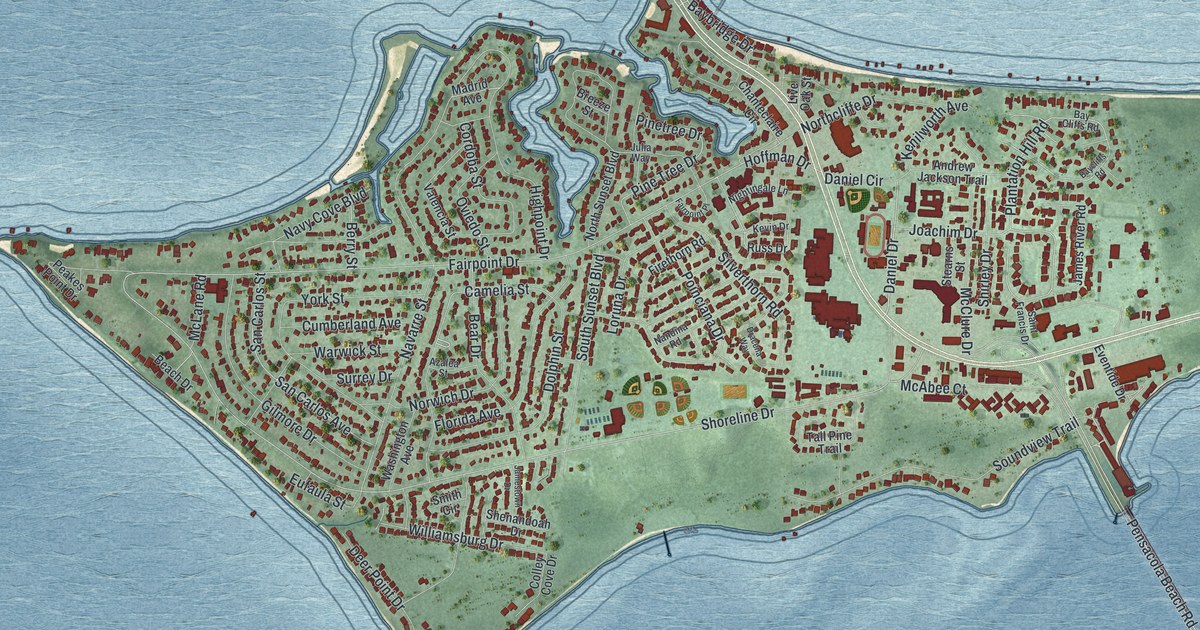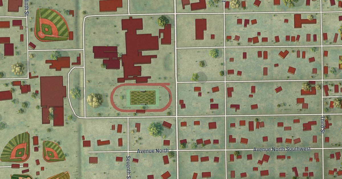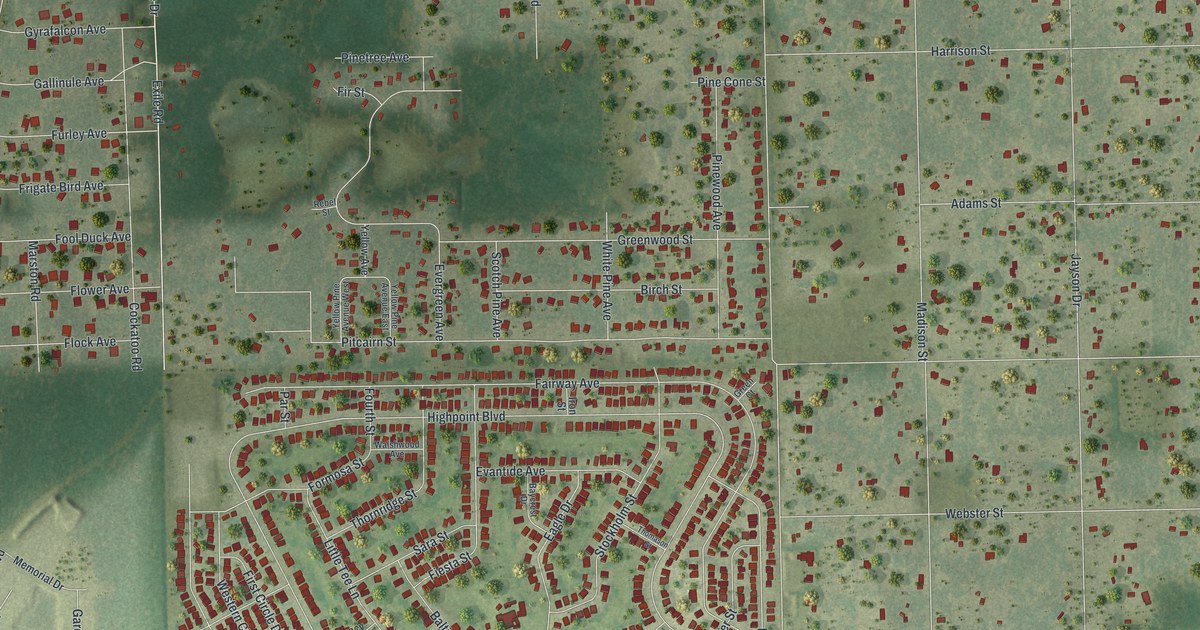
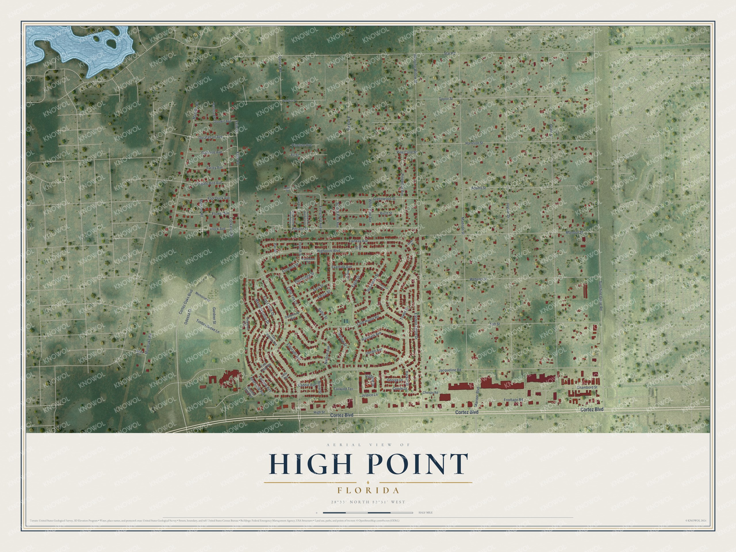
This beautifully detailed map of High Point, Florida was created in 2026 using aerial imagery combined with modern topographical, census, street and landmark data. It's a modern aerial view of High Point in Hernando County, Florida, that combines modern data with a vintage aesthetic. The roads feature printed names, and if you look closely you can find your exact house accurately shown in its correct location.
Explore an aerial view of High Point, Florida
On this map you'll find Cortez Boulevard, Highpoint Boulevard, Taylor Street, Cortez Oaks Boulevard, Weeping Willow Street, Star Road, Sunshine Grove Road, Grant Street, Jayson Drive, Madison Street, Fairway Avenue, Fairlane Avenue, and more. Each red shape is a building, so zoom in on the preview and look for yours.
High Point is a community in Hernando County. The Census Bureau counted 3,873 people here in 2020. High Point sits about 2 miles west of Brookridge, 2 miles east of North Weeki Wachee and 3 miles west of Wiscon. The map prints the town name in its title panel, with the coordinates below it.
Take a closer look at the High Point map
Names on this map
These names are printed on this map.
Streets and roads: Cortez Boulevard, Highpoint Boulevard, Taylor Street, Cortez Oaks Boulevard, Weeping Willow Street, Star Road, Sunshine Grove Road, Grant Street, Jayson Drive, Madison Street, Fairway Avenue, Fairlane Avenue.
More street names, A to Z
Adams Street, Baltic Street, Baycrest Drive, Birch Street, Caddie Avenue, Canary Avenue, Chambord Street, Chelsey Road, Club House Road, Cockatoo Road, Conde Drive, Dearborn Avenue, Diplomacy Avenue, Eagle Drive, Eastern Circle Drive, Eldorado Avenue, Erma Road, Evantide Avenue, Evergreen Avenue, Exile Drive, Exile Road, Fiesta Street, First Circle Drive, First Loop Avenue, Fir Street, Flock Avenue, Flower Avenue, Fool Duck Avenue, Formosa Street, Fourth Street, Frigate Bird Avenue, Frontage Road, Furley Avenue, Gallinule Avenue, Gardner Street, George Drive, Godwit Avenue, Green Court, Greenwood Street, Gyrafalcon Avenue, Hallmark Avenue, Harker Street, Harlow Street, Harrison Street, Highline Drive, High Street, Iron Street, Jacqueline Road, Justice Lane, Little Avenue, Little Tee Lane, Mandrake Road, Manetta Road, Mariner Boulevard, Marston Road, Mazette Road, Memorial Drive, Montour Street, Nielson Avenue, Obrien Avenue, Odessa Court, Par Street, Pine Cone Street, Pinetree Avenue, Pinewood Avenue, Pitcairn Street, Quivira Road, Rebel Street, San Ramon Avenue, Sara Street, Score Street, Scotch Pine Avenue, Second Loop Avenue, Seely Lane, Stockholm Street, Taft Street, Tailwind Terrace, Thomason Street, Thornridge Street, Timber Grove Lane, Tower Street, Walshwood Avenue, Webster Street, Western Circle Drive, White Pine Avenue, Yellow Avenue, Yellow Pine Avenue East, Yellow Pine Avenue West.
See it on a wall
The High Point map as a framed print. Swipe for more.


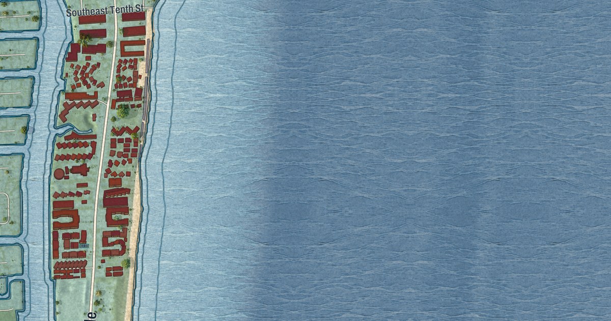
Created by KNOWOL in 2026. The buildings are small red shapes, the roads carry their printed names, and shaded relief shows the shape of the land. The title panel reads "AERIAL VIEW OF HIGH POINT, FLORIDA" with 28°33' NORTH 82°31' WEST.
Hang it in the hallway, the office or the cabin, or give it to someone who left High Point and still calls it home. Open the preview and look for a street you know. See sizes and frames for the High Point map.