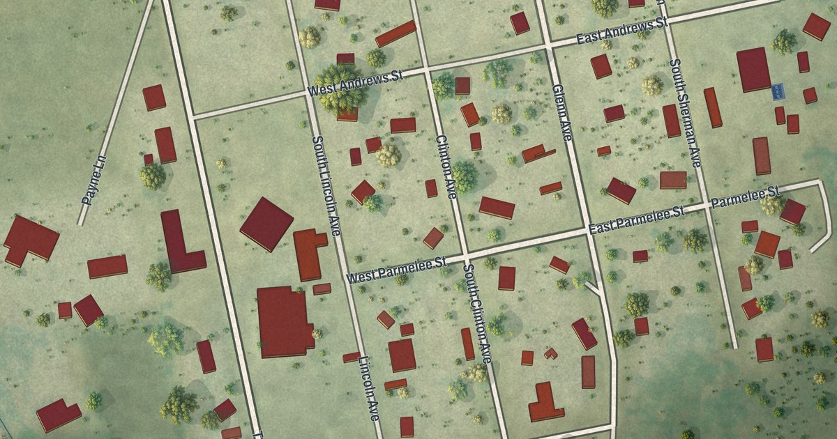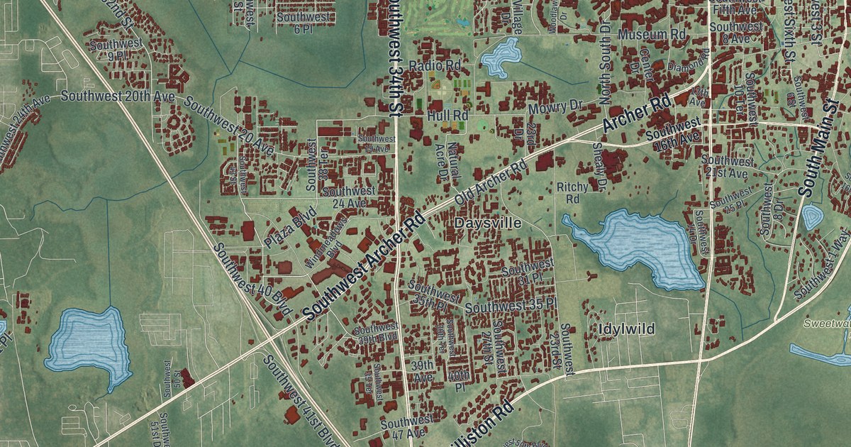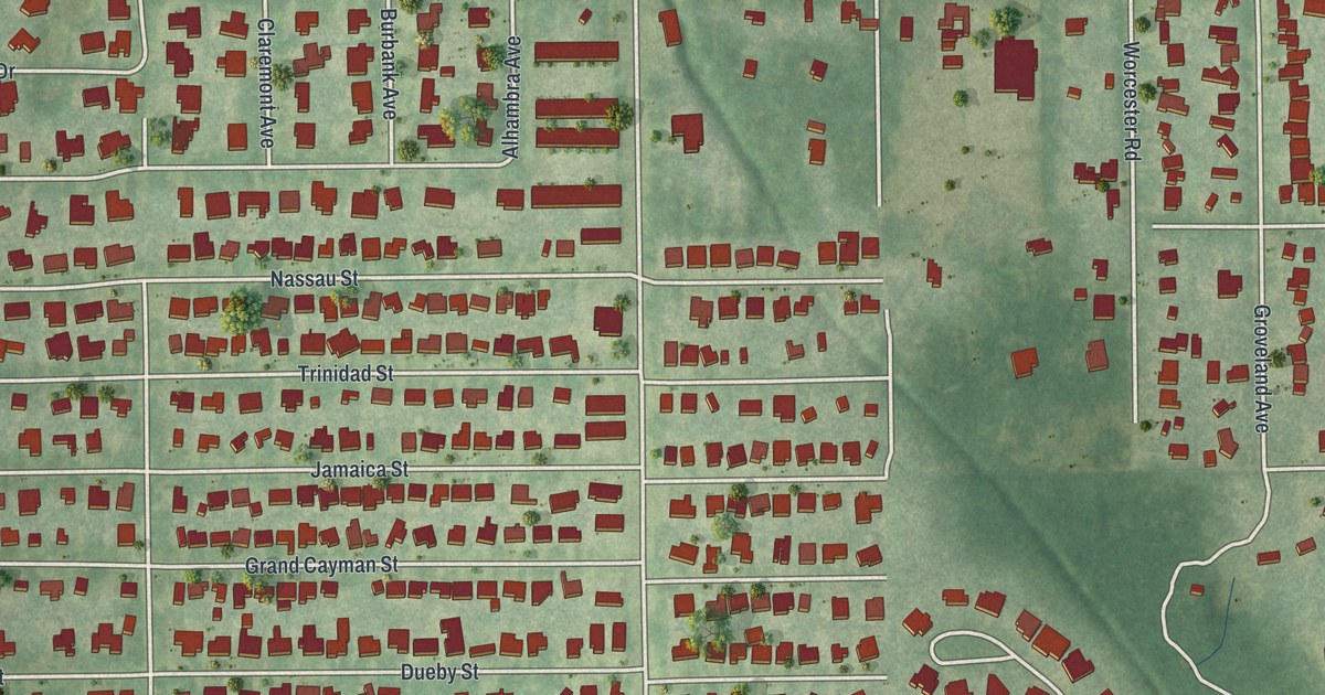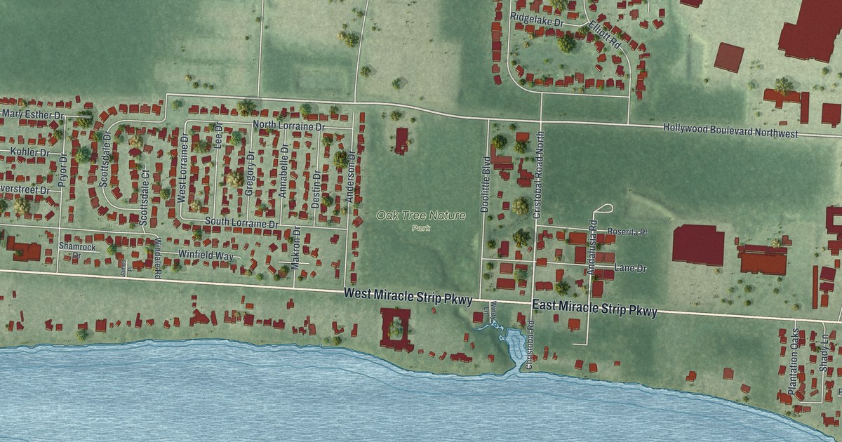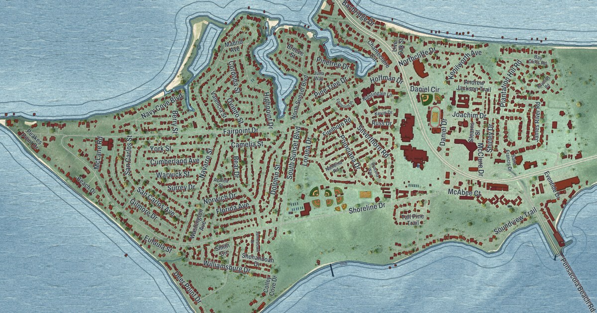
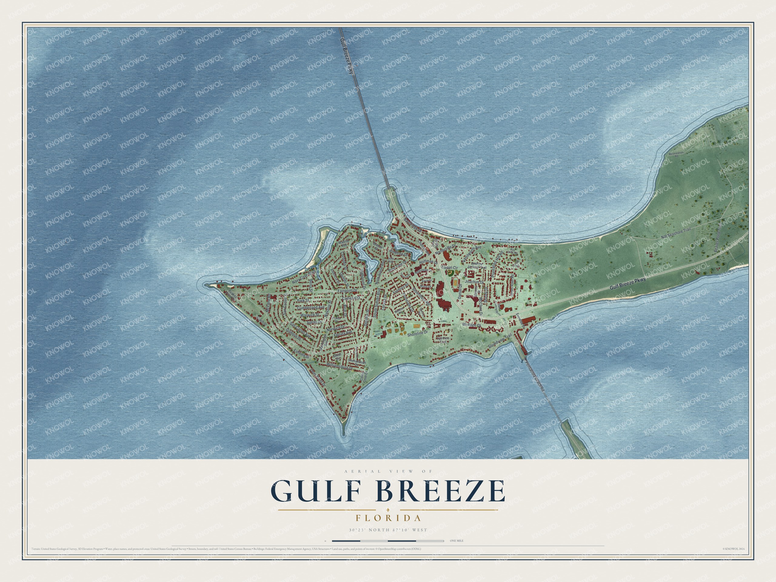
This beautifully detailed map of Gulf Breeze, Florida was created in 2026 using aerial imagery combined with modern topographical, census, street and landmark data. It’s a one-of-a-kind view of Gulf Breeze that combines accurate data with a vintage aesthetic. The map shows every building in its true location, many of the roads carry their names, and the shaded topographic relief shows the shape of the land.
Explore an aerial view of Gulf Breeze, Florida
On the map you’ll find Gulf Breeze Parkway, Nat Seashore Trail, Plantation Hill Road, Deer Point Drive, Daniel Drive, Baybridge Drive, Shoreline Drive, Fairpoint Drive, Cordoba Street, Camelia Street, Navarre Street, Highpoint Drive, and more. If you look closely you can even find your house accurately drawn in its correct location. Zoom in on the preview to look for yours.
Did You Know?
Gulf Breeze was first called Town Point. British settlers arrived in the mid-1700s, and its live oaks were cut to build ships. The modern name came from the Gulf Breeze Cottages and Store. The first post office for the area opened there in 1936. Gulf Breeze became a city on August 10, 1961.
Take a closer look at the Gulf Breeze map
Names on this map
These names are printed on this map.
Streets and roads: Gulf Breeze Parkway, Nat Seashore Trail, Plantation Hill Road, Deer Point Drive, Daniel Drive, Baybridge Drive, Shoreline Drive, Fairpoint Drive, Cordoba Street, Camelia Street, Navarre Street, Highpoint Drive.
More street names, A to Z
Andrew Jackson Trail, Azalea Street, Bay Cliffs Road, Baycliffs Road, Beach Drive, Bear Drive, Beaver Pond Trail, Berry Street, Breeze Street, Chanteclaire Circle, Colley Cove Drive, Cumberland Avenue, Daniel Circle, Dolphin Street, Dracena Way, Eufaula Street, Eventide Drive, Fairpoint Place, Firethorn Road, Florida Avenue, Gilmore Drive, Hoffman Drive, James River Road, Jamestown Drive, Joachim Drive, Julia Way, Kenilworth Avenue, Kevin Drive, Live Oak Street, Loruna Drive, Madrid Avenue, McAbee Court, McClure Drive, McLane Road, Nandina Road, Navy Cove Boulevard, Nightingale Lane, Northcliffe Drive, North Sunset Boulevard, Norwich Drive, Oviedo Street, Peakes Point Drive, Pensacola Beach Road, Pine Tree Drive, Pinetree Drive, Poinciana Drive, Reservation Road, Russ Drive, Saint Francis Drive, San Carlos Avenue, San Carlos Street, Shenandoah Drive, Shirley Drive, Silverthorn Road, Smith Circle, Soundview Trail, South Sunset Boulevard, Stearns Street, Surrey Drive, Tall Pine Trail, Valencia Street, Warwick Street, Washington Avenue, Williamsburg Drive, York Street.
See it on a wall
The Gulf Breeze map as a framed print. Swipe for more.


This beautifully detailed map of Gulf Breeze makes an attractive addition to your office, library, or den, and it can even be used to teach children the geography and history of the area. It also makes a great gift for anyone with Gulf Breeze roots. When you’re done exploring, click here to get your copy of the Gulf Breeze map.