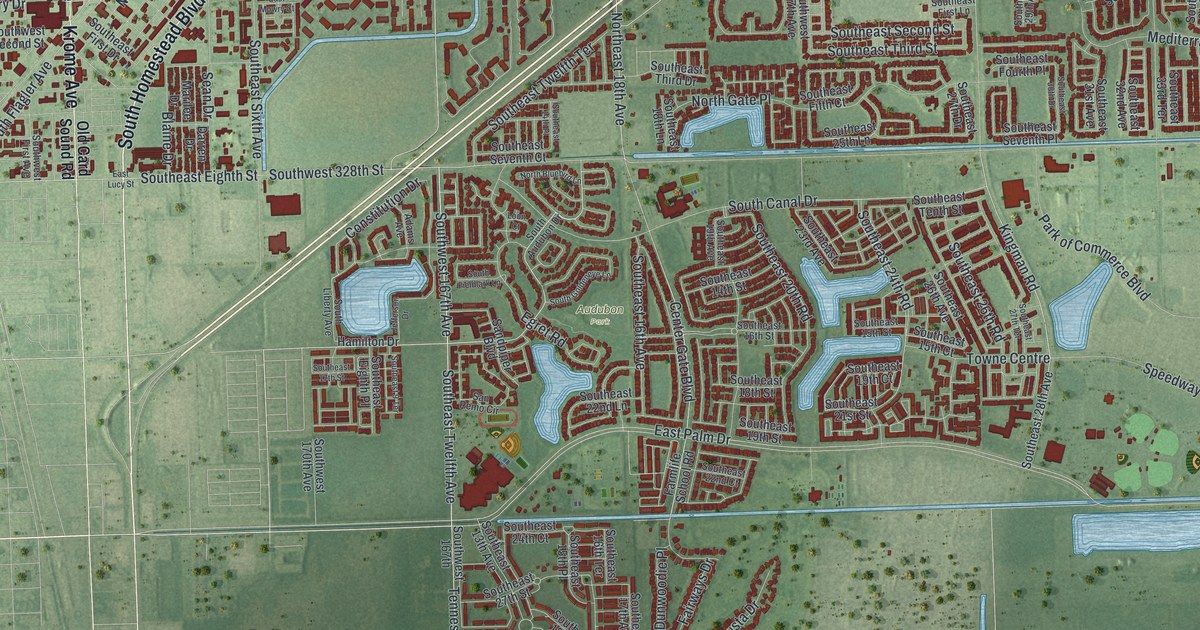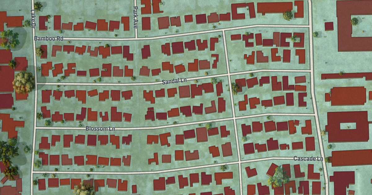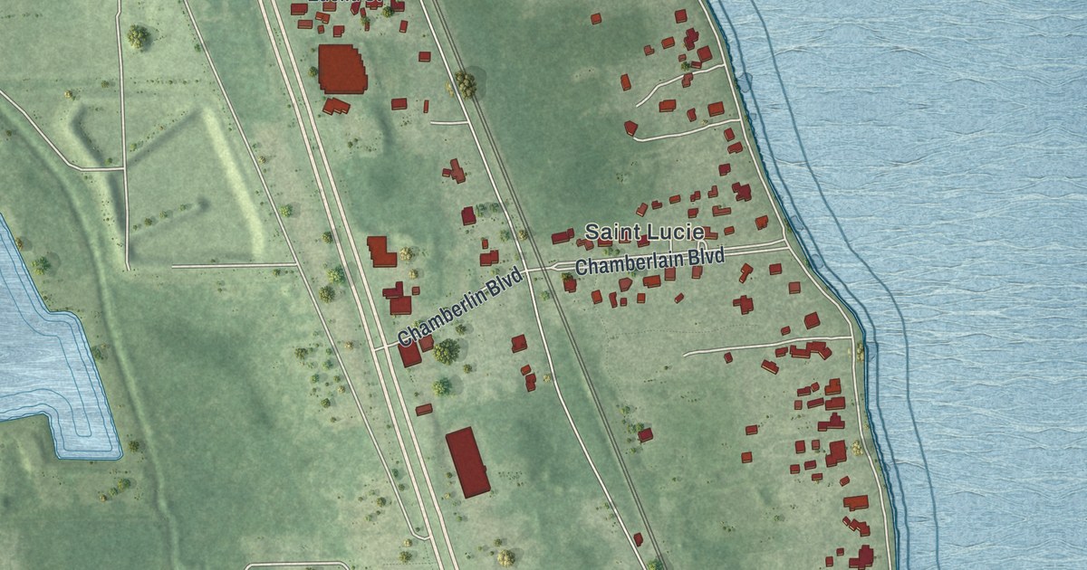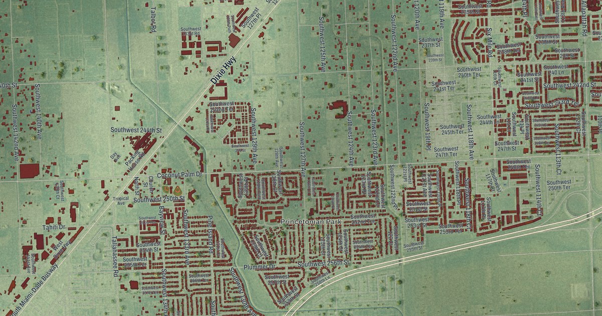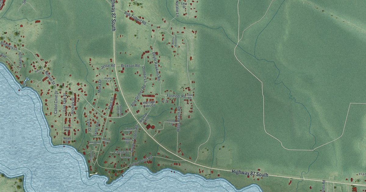
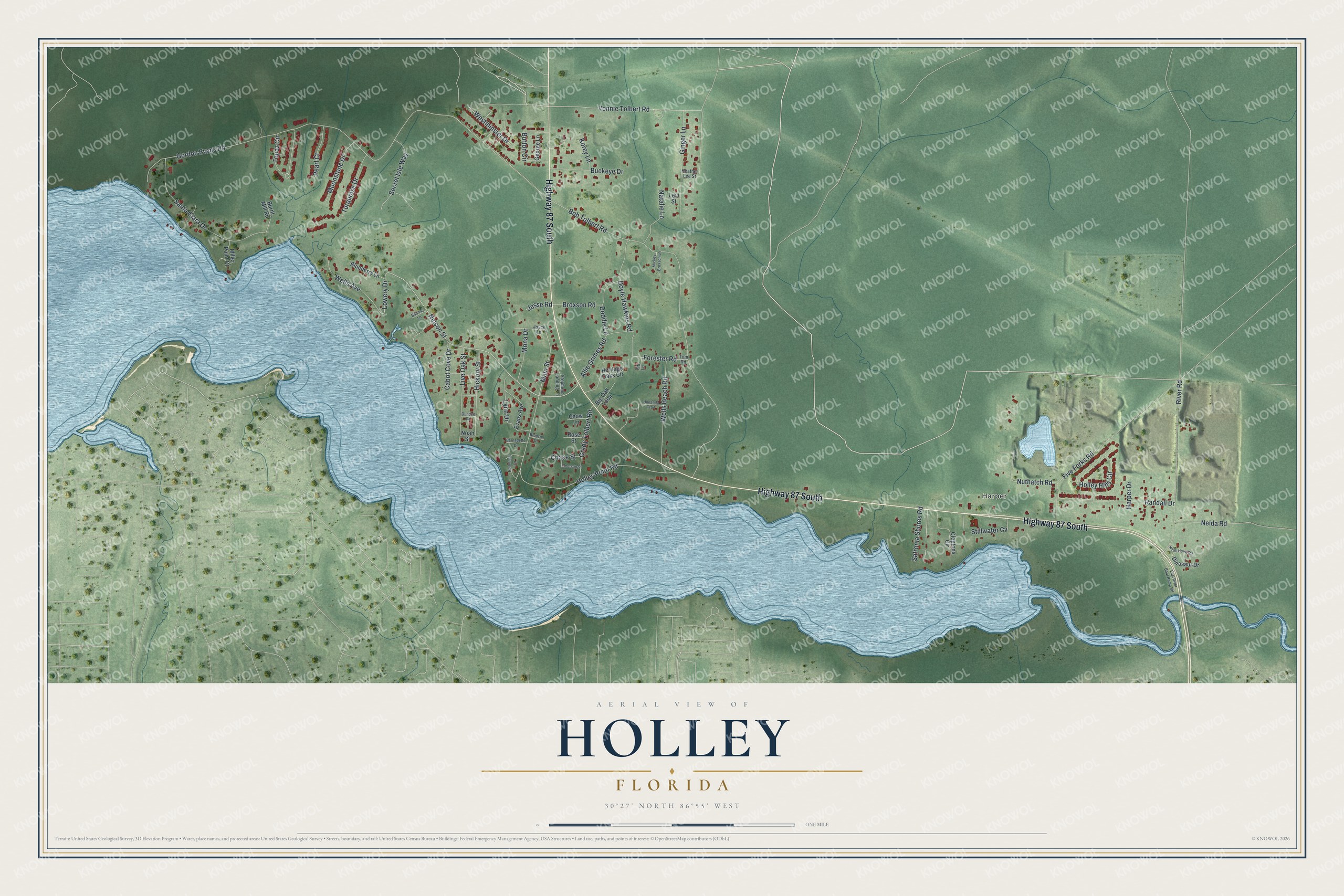
This beautifully detailed map of Holley, Florida was created in 2026 using aerial imagery combined with modern topographical, census, street and landmark data. It's a modern aerial view of Holley in Santa Rosa County, Florida, that combines modern data with a vintage aesthetic. The roads feature printed names, and if you look closely you can find your exact house accurately shown in its correct location.
Explore an aerial view of Holley, Florida
On this map you'll find Harper, Highway 87 South, River Road, Nelson Street, Lowery Drive, Main Street, Vonnie Tolbert Road, Topaz Circle, Gordon Evans Road, Bob Tolbert Road, Holley Point Road, Five Forks Road, and more. Each red shape is a building, so zoom in on the preview and look for yours.
Every town has a first chapter, and Holley is no exception. Holley was settled in 1893, and the Santa Rosa County community is said to have been named for a Baptist minister, the Reverend W. D. Holley. That's from the Florida place names historian Allen Morris.
Holley is a community in Santa Rosa County. The Census Bureau counted 2,484 people here in 2020. Holley sits about 3 miles north of Navarre, 5 miles north of Navarre Beach and 7 miles northeast of Woodlawn Beach. The map prints the town name in its title panel, with the coordinates below it.
Take a closer look at the Holley map
Names on this map
These names are printed on this map.
Places: Harper.
Streets and roads: Highway 87 South, River Road, Nelson Street, Lowery Drive, Main Street, Vonnie Tolbert Road, Topaz Circle, Gordon Evans Road, Bob Tolbert Road, Holley Point Road, Five Forks Road, Santa Clara Drive.
More street names, A to Z
Allie Grimes Road, Bernadette Drive, Big Oak Loop, Blueberry Lane, Bonnie Lane, Broxson Road, Brunson Drive, Buckeye Drive, Burnt Mill Road, Burton Circle, Cabot Cove Drive, Chase Street, Chow Lane, Cloptons Circle, Dinosaur Drive, Doddie Lane, Doyle Hawkins Road, Dundee Road, East River Boat Ramp Road, Emerson Street, Evans Avenue, Forester Road, George Lane, Ginger Lane, Grady Tolbert Road, Harper Drive, Heather Lee Street, Heritage Oaks Circle, Hickory Street, Hollanda Trail, Holley Hills Circle, Jesse Road, Joyce Lane, Korey Lane, Levi Street, Live Oak Street, Lynn Drive, Mickey Broxson Lane, Miller Point Court, Mona Drive, Moonstone Drive, Natalie Lane, Nelda Road, Noah Hurst Road, Noah Street, Nuthatch Road, Pearl Court, Randall Drive, Rodebush Lane, Rose Street, Safronia Shores Road, Secret Isle Way, Stephens Landing Lane, Stillwater Cv, Titi Lane, Tom Road, Turquoise Drive, Wells Avenue, Wells Beach Road, Westminster Drive.
See it on a wall
The Holley map as a framed print. Swipe for more.


Created by KNOWOL in 2026. The buildings are small red shapes, the roads carry their printed names, and shaded relief shows the shape of the land. The title panel reads "AERIAL VIEW OF HOLLEY, FLORIDA" with 30°27' NORTH 86°55' WEST.
Hang it in the hallway, the office or the cabin, or give it to someone who left Holley and still calls it home. Open the preview and look for a street you know. See sizes and frames for the Holley map.