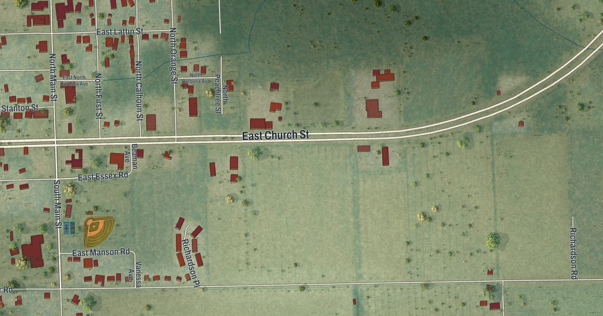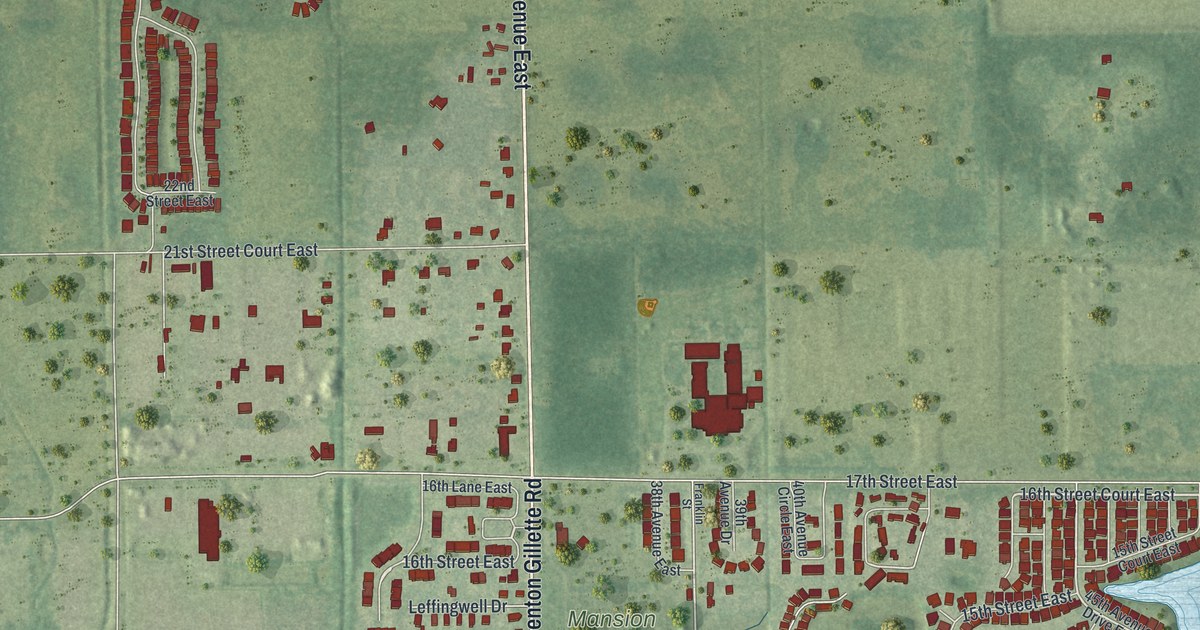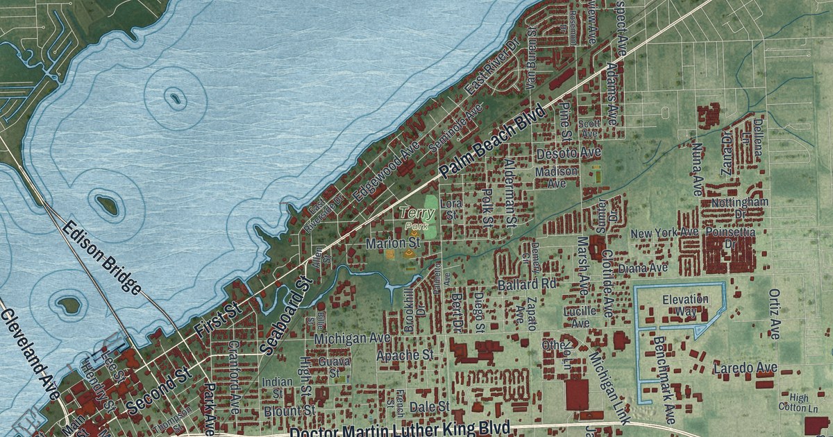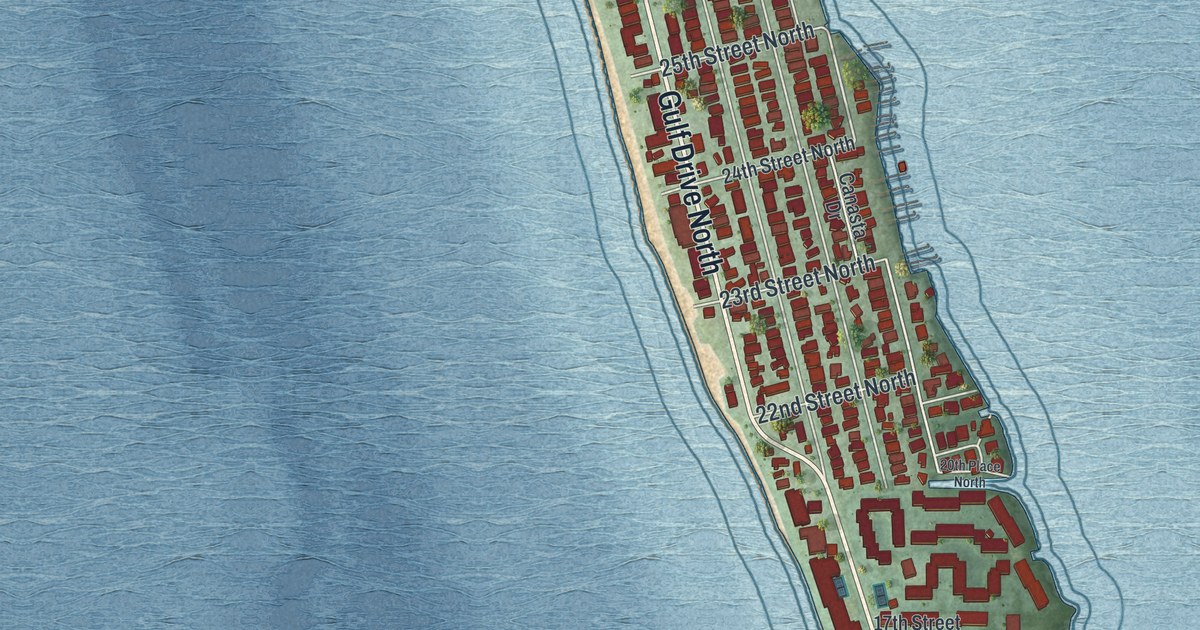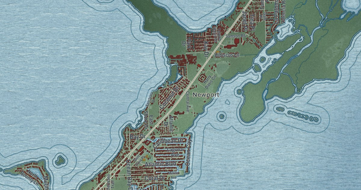
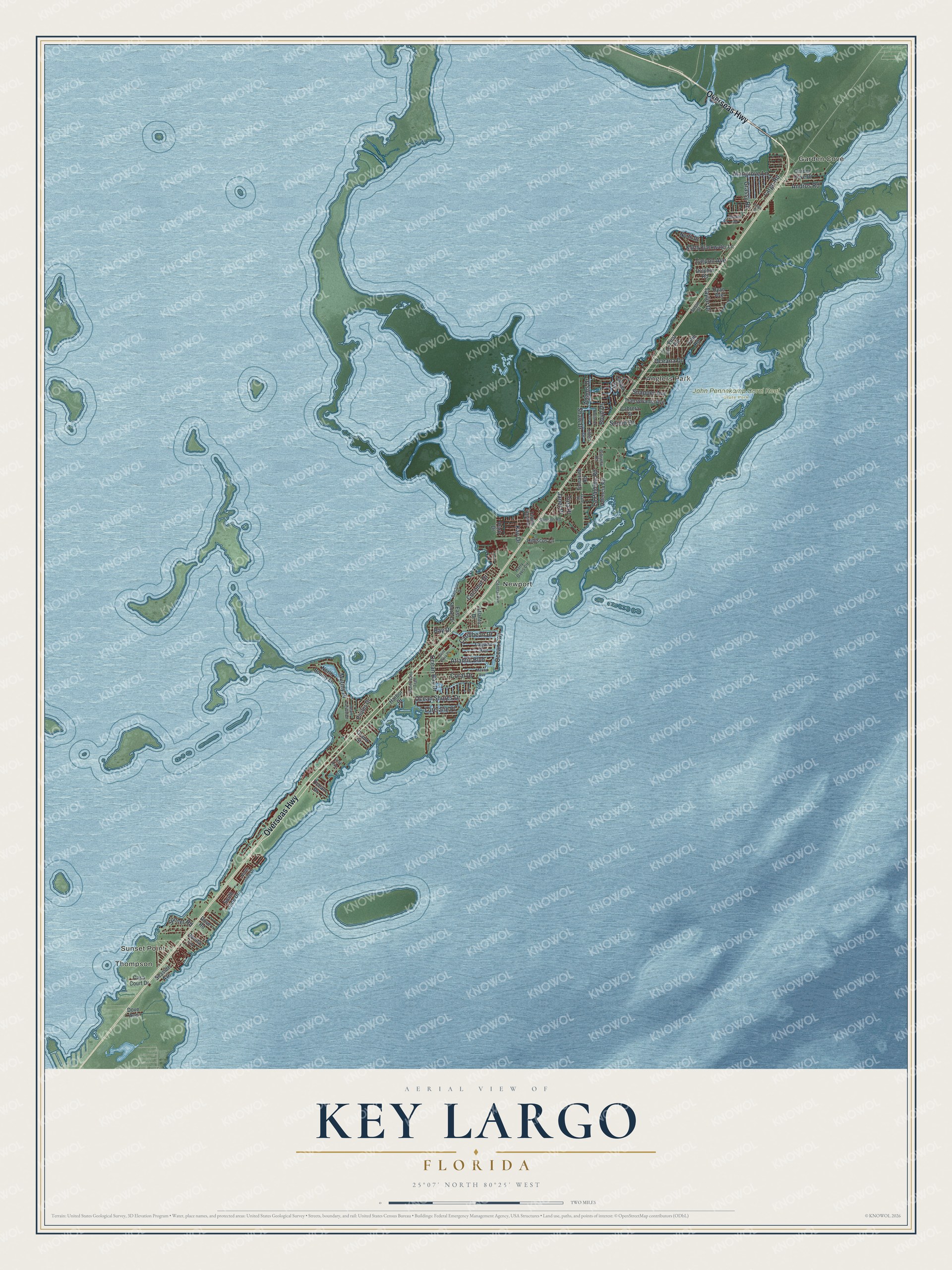
This beautifully detailed map of Key Largo, Florida was created in 2026 using aerial imagery combined with modern topographical, census, street and landmark data. It’s a one-of-a-kind view of Key Largo that combines accurate data with a vintage aesthetic. The map shows every building in its true location, many of the roads carry their names, and the shaded topographic relief shows the shape of the land.
Explore an aerial view of Key Largo, Florida
On the map you’ll find Thompson, Sunset Point, Garden Cove, Anglers Park, Newport, John Pennekamp Coral Reef State Park, and Mutiny Place, along with Overseas Highway, Ocean Shores Drive, Sound Drive, Ocean Bay Drive, Atlantic Boulevard, and more. If you look closely you can even find your house accurately drawn in its correct location. Zoom in on the preview to look for yours.
Take a closer look at the Key Largo map
Names on this map
These names are printed on this map.
Places: Thompson, Sunset Point, Garden Cove, Anglers Park, Newport and John Pennekamp Coral Reef State Park.
Streets and roads: Overseas Highway, Ocean Shores Drive, Sound Drive, Mutiny Place, Ocean Bay Drive, Atlantic Boulevard, Shaw Drive, Caribbean Drive, La Paloma Road, Largo Road, Tarpon Avenue, Coral Drive.
More street names, A to Z
Adams Drive, Andros Road, Atlantic Drive, Bay Drive, Bonita Lane, Bostwick Drive, Boyd Drive, Bunting Drive, Cabrera Street, Calder Road, Casa Court Drive, Central Avenue, Coconut Drive, Dolphin Road, Dove Avenue, Dove Road, East Shore Drive, Ellen Drive, Fifth Road, First Avenue, First Road, First Street, Fishermans Trail, Gale Place, Garden Cove Drive, Gibraltar Road, Grand Street, Grassy Road, Harbor Drive, Harry Davis Circle, Hibiscus Lane, Janet Place, Jean Lafitte Drive, Kay Drive, Laguna Avenue, Linda Drive, Lorelane Place, Mangrove Lane, Marina Avenue, North Blackwater Lane, North Bounty Lane, North Drive, North Jade Drive, Oceana Drive, Ocean Cay, Ocean Drive, Park Drive, Pirates Drive, Ryan Avenue, Saint Croix Place, Samson Road, Sanctuary Drive, Seaside Avenue, Snapper Avenue, South Jade Drive, Sunset Road, Susan Street, Tamarind Road, Tarpon Basin Drive, Taylor Drive, Tina Place, Transylvania Avenue, Valencia Road.
See it on a wall
The Key Largo map as a framed print. Swipe for more.


This beautifully detailed map of Key Largo makes an attractive addition to your office, library, or den, and it can even be used to teach children the geography and history of the area. It also makes a great gift for anyone with Key Largo roots. When you’re done exploring, click here to get your copy of the Key Largo map.