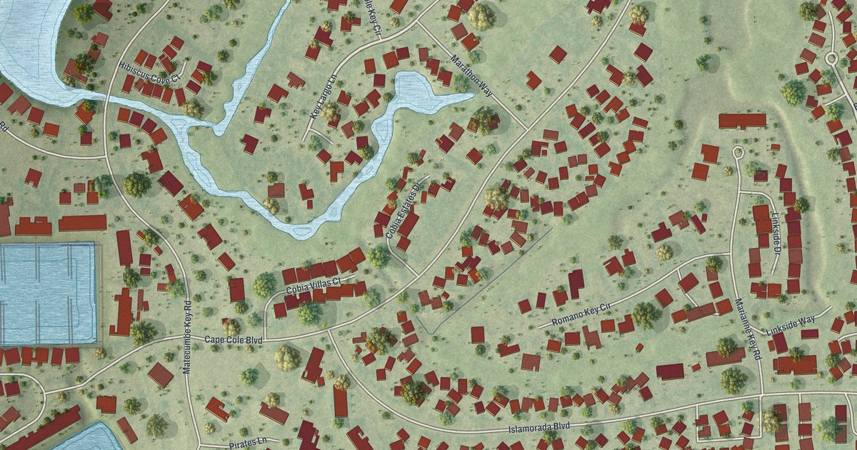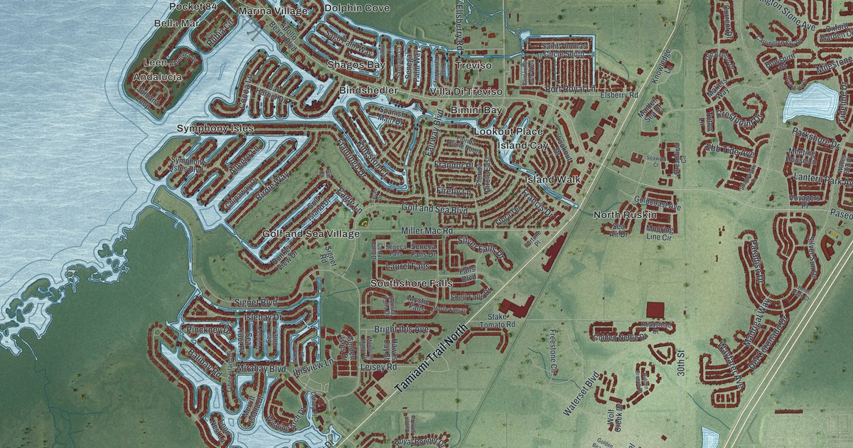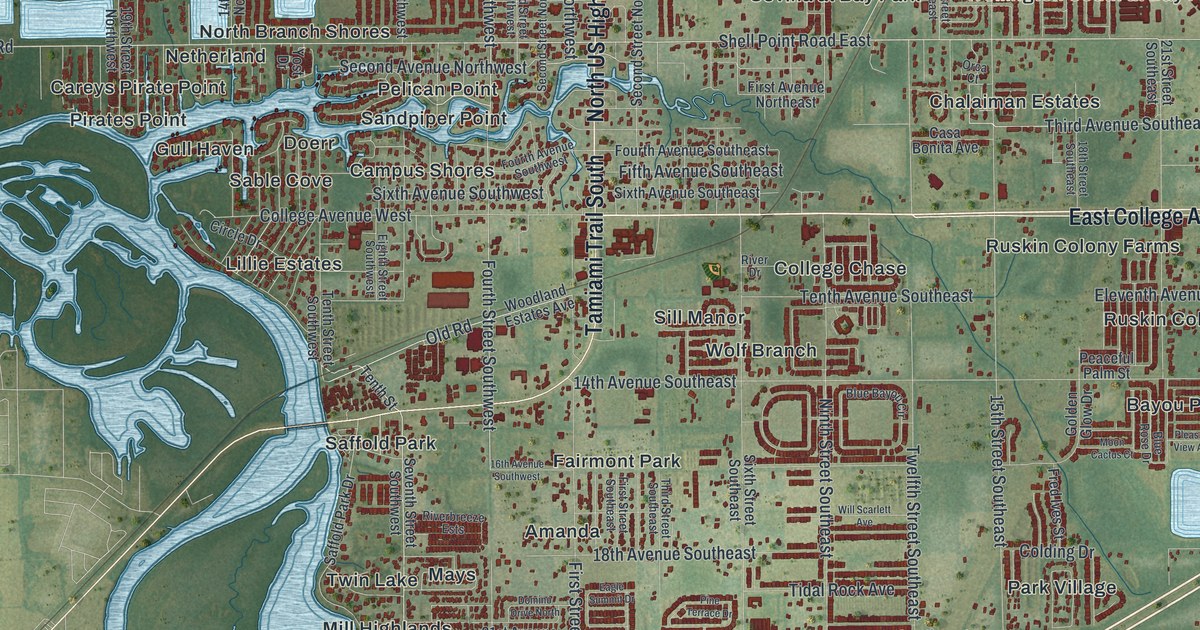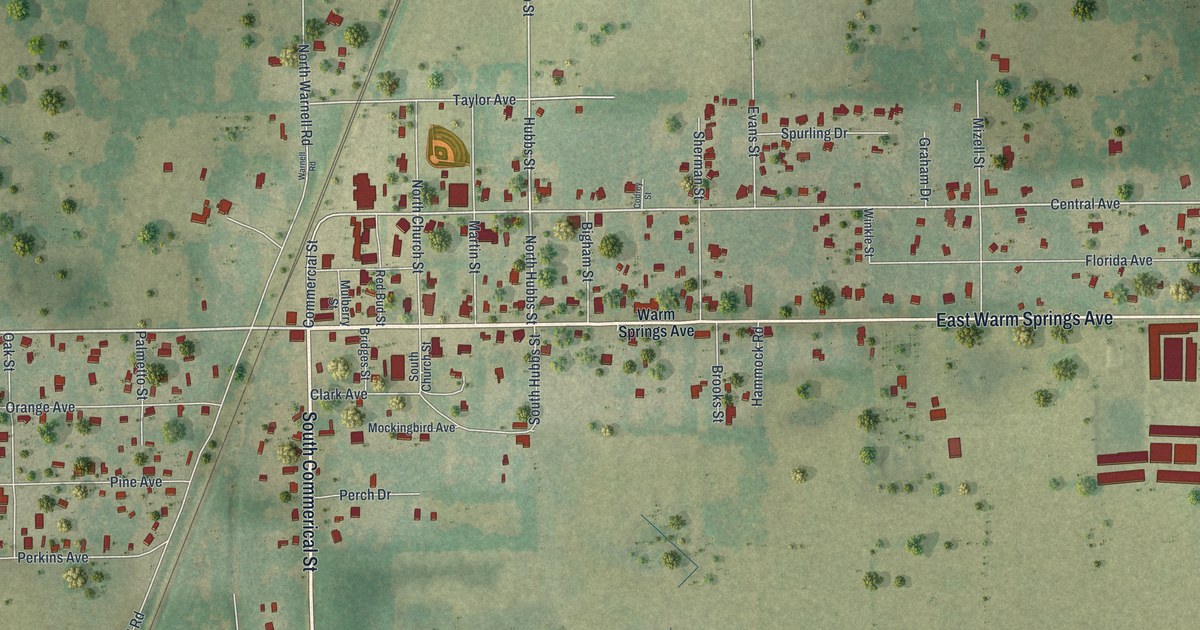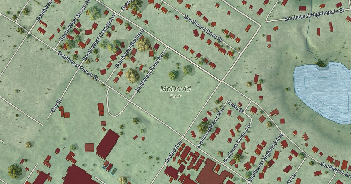
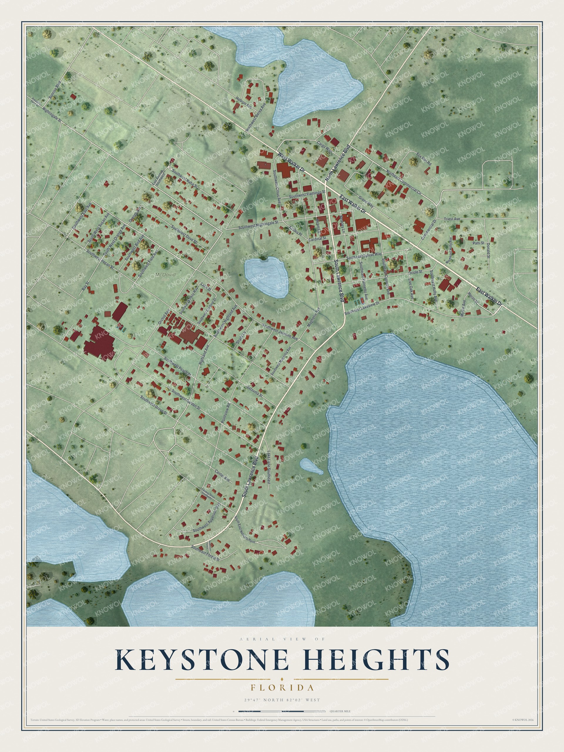
This beautifully detailed map of Keystone Heights, Florida was created in 2026 using aerial imagery combined with modern topographical, census, street and landmark data. It’s a one-of-a-kind view of Keystone Heights that combines accurate data with a vintage aesthetic. The map shows every building in its true location, many of the roads carry their names, and the shaded topographic relief shows the shape of the land.
Explore an aerial view of Keystone Heights, Florida
On the map you’ll find McDavid Park, along with East Walker Drive, North Lawrence Boulevard, West Walker Drive, South Lawrence Boulevard, Northeast Commercial Circle, Orchid Avenue, Nightingale Street, Cargo Way, Heron Street, Highland Avenue, Southwest Jasmine Avenue, and more. If you look closely you can even find your house accurately drawn in its correct location. Zoom in on the preview to look for yours.
Did You Know?
Keystone Heights began as a small lakeside settlement called Brooklyn. Developer John J. Lawrence of Pittsburgh built the first house there in 1920. In 1922 he and settlers from New York and Pennsylvania renamed the community. The new name honored Pennsylvania, the Keystone State.
Take a closer look at the Keystone Heights map
Names on this map
These names are printed on this map.
Places: McDavid Park.
Streets and roads: East Walker Drive, North Lawrence Boulevard, West Walker Drive, South Lawrence Boulevard, Northeast Commercial Circle, Orchid Avenue, Nightingale Street, Cargo Way, Heron Street, Highland Avenue, Southwest Jasmine Avenue, Southwest Highland Avenue.
More street names, A to Z
Azalea Place, Bay Street, Beam Lane, Beasley Lane, Cardinal Street, Center Avenue, Commercial Drive, Donald Street, East Avenue Southwest, Fairway Drive Southwest, Fox Run Road, Green Way, Hebron Avenue, Lake Lane Southeast, Lake Street, Live Oak Avenue, Magnolia Avenue, Myrtle Avenue, Northeast Holly Avenue, Northwest Berea Avenue, Orange Avenue, Oriole Street, Paradise Point Drive, Patti Street, Pointview Road, Satsuma Street, Shady Lane, Southeast Cypress Avenue, South East Forest, Southeast Forest Street, Southeast Holly Avenue, Southeast Lakeview Drive, South East Nelsons Point, Southeast Palmetto Avenue, Southeast Sylvan Way, Southwest Apperson Way, Southwest Bird Avenue, Southwest Breezy Way, Southwest Cardinal Drive, Southwest Citrus Avenue, Southwest Dove Street, Southwest East Avenue, Southwest Field Avenue, Southwest Flamingo Street, Southwest Garden Street, Southwest Grove Street, Southwest Magnolia Avenue, Southwest Naha Street, Southwest Nightingale Street, South West Orange Avenue, Southwest Peach Street, Southwest Pecan Street, South West Susan Avenue, Sunrise Boulevard, Triest Avenue.
See it on a wall
The Keystone Heights map as a framed print. Swipe for more.


This beautifully detailed map of Keystone Heights makes an attractive addition to your office, library, or den, and it can even be used to teach children the geography and history of the area. It also makes a great gift for anyone with Keystone Heights roots. When you’re done exploring, click here to get your copy of the Keystone Heights map.