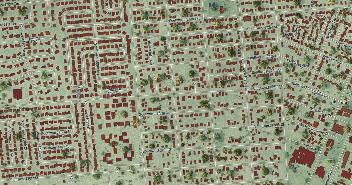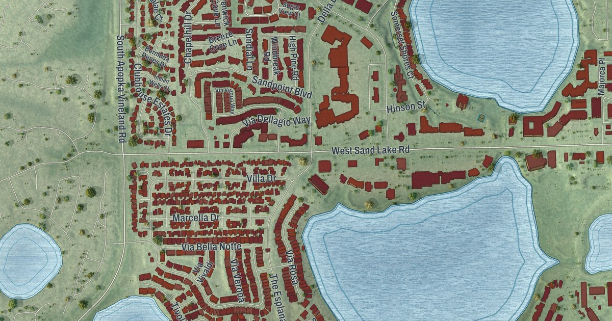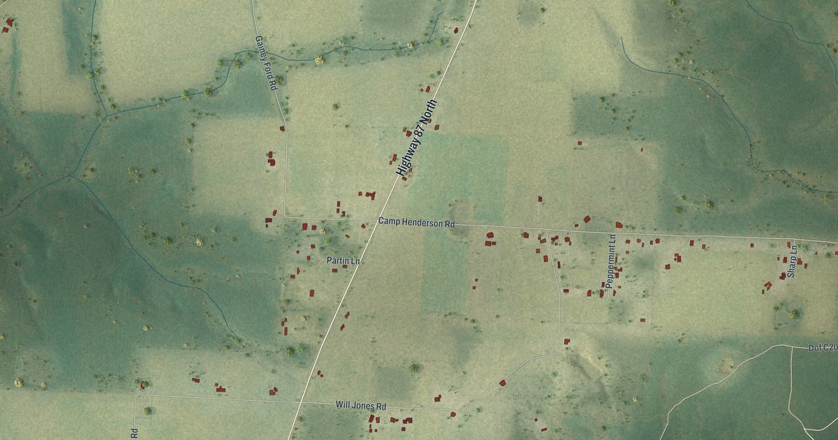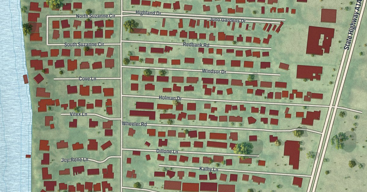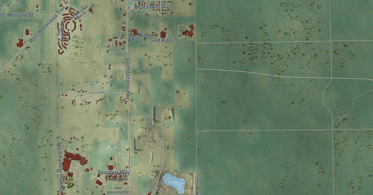
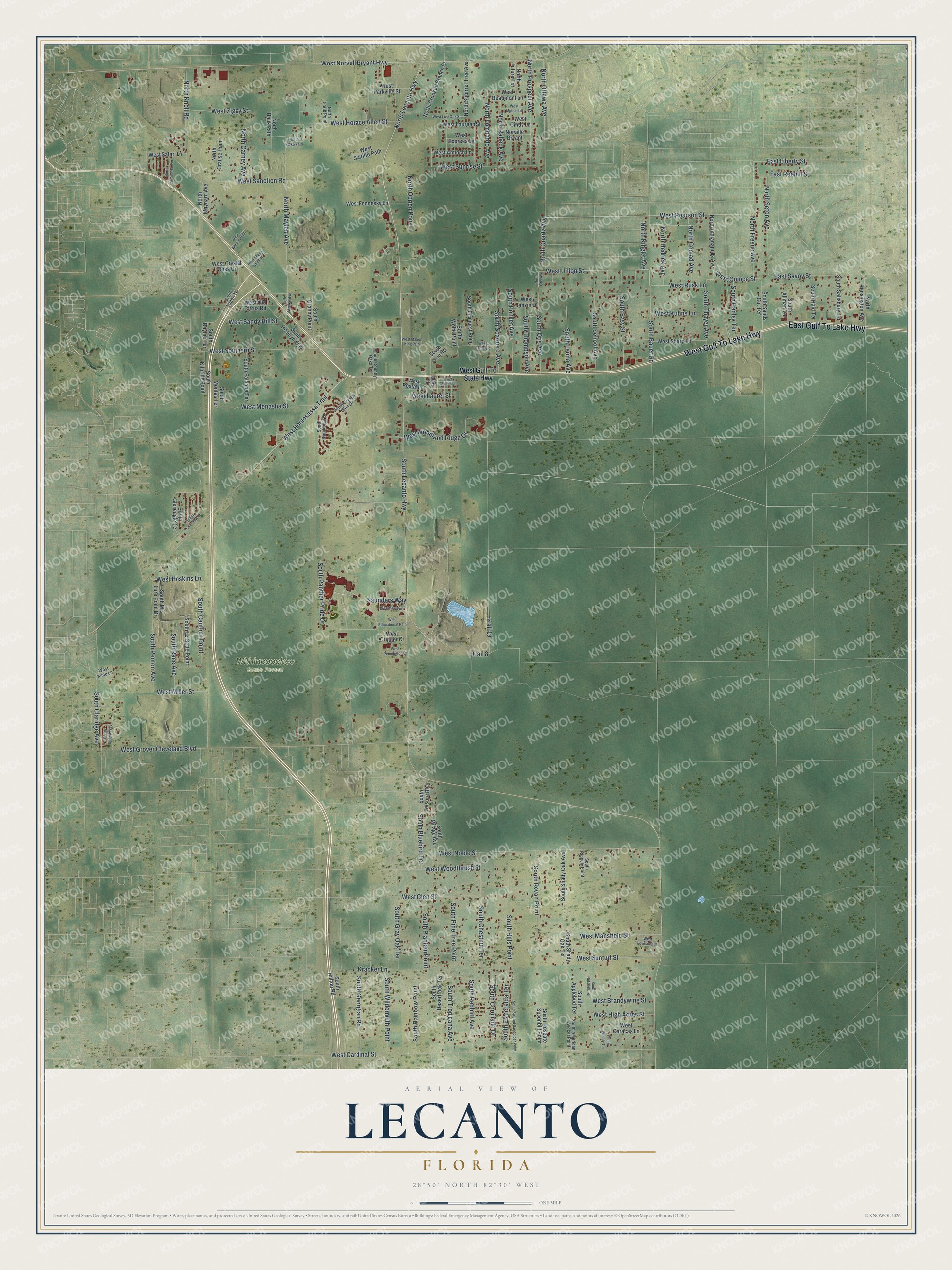
This beautifully detailed map of Lecanto, Florida was created in 2026 using aerial imagery combined with modern topographical, census, street and landmark data. It's a modern aerial view of Lecanto in Citrus County, Florida, that combines modern data with a vintage aesthetic. The roads feature printed names, and if you look closely you can find your exact house accurately shown in its correct location.
Explore an aerial view of Lecanto, Florida
On this map you'll find Withlacoochee State Forest, West Gulf To Lake Highway, East Gulf To Lake Highway, North Lecanto Highway, North Fresno Avenue, West Union Street, West Pearson Street, West Rusk Lane, West Quince Street, Trail 19, North Quartz Avenue, South Lecanto Highway, and more. Each red shape is a building, so zoom in on the preview and look for yours.
Lecanto has a story worth telling. Tradition says a doctor named Morton first settled at Lecanto in 1862, and a post office followed in 1883. He may have chosen the name, which joins French and Italian words to mean the singing, for the many songbirds of the area. That's from the book Florida Place Names by Allen Morris.
Lecanto is a community in Citrus County. The Census Bureau counted 6,301 people here in 2020.
Take a closer look at the Lecanto map
Names on this map
These names are printed on this map.
Places: Withlacoochee State Forest.
Streets and roads: West Gulf To Lake Highway, East Gulf To Lake Highway, North Lecanto Highway, North Fresno Avenue, West Union Street, West Pearson Street, West Rusk Lane, West Quince Street, Trail 19, North Quartz Avenue, South Lecanto Highway, South Bauer Road.
More street names, A to Z
East Liberty Street, East Reehill Street, East Savoy Street, Kracker Lane, Line Street, North Balko Path, North Carib Point, North Carney Avenue, North Commerce Terrace, North Conrad Avenue, North Crause Point, North Crooked Branch Drive, North Future Terrace, North Hajik Path, North Hedrick Avenue, North Indianapolis Avenue, North Kensington Avenue, North Kinglet Avenue, North Knoll Road, North Lombardo Avenue, North Maylen Avenue, North Maynard Avenue, North Obrien Point, North Otis Avenue, North Ottawa Avenue, North Prospect Avenue, North Rabeck Avenue, North Seton Avenue, North Squirrel Tree Avenue, Norville Bryant, Saunders Way, South Allman Terrace, South American Avocet Point, South Applebud Terrace, South Bluebird Terrace, South Brookfield Drive, South Cauthen Point, South Chestnut Terrace, South Claridge Avenue, South Coronado Drive, South Country Oaks Terrace, South Crystal Glen Drive, South Delard Way, South Desertrock Terrace, South Easy Street, South Elmhurst Point, South Esmeralda Terrace, South Fairlane Terrace, South Georgian Road, South Gleneagle Terrace, South Granny Point, South Gray Oak Terrace, South Haid Terrace, South Hanley Terrace, South Hills Point, South Hilltop Road, South Kilbride Point, South Le Gette Point, South Leisure Boulevard, South Leona Avenue, South Line Road, South Maylen Avenue, South Mc Lure Point Drive, South Mirage Avenue, South Montas Terrace, South Nutshell Terrace, South Otis Avenue, South Overview Drive, South Panther Pride Drive, South Penton Avenue, South Pine Tree Point, South Plantain Point, South Ponder Avenue, South Race Avenue, South Rainbow Point, South Raymo Terrace, South Redbird Avenue, South Ridgely Point, South Roseate Spoonbill Point, South Roselyn Way, South Rovan Point, South Salisbury Terrace, South Sands Cut Terrace, South Scarboro Avenue, South School Avenue, South Shady Oak Avenue, South Shady Oak Terrace, South Spotted Sandpiper Point, South Thayer Avenue, South Thompson Avenue, South Tipton Terrace, South Tropicana Avenue, South Wildermuth Point, South Wolfe Point, South Woody Terrace, Trail 8, West Ancona Path, West Antioch Lane, West Beaumont Lane, West Brandywine Street, West Camel Lane, West Caracas Lane, West Cardinal Street, West Church Lane, West Cindy Lane, West Crigger Court, West Crystal Oaks Drive, West Educational Path, West Express Lane, West Fennessy Lane, West Glen Street, West Grover Cleveland Boulevard, West Gulf To State Highway, West High Acres Street, West Homosassa Trail, West Horace Allen Street, West Hoskins Lane, West Janzin Lane, West Kevin Lane, West Kime Lane, West Kuhns Lane, West Laureen Street, West Laurel Street, West Live Oak Street, West Lovesong Court, West Mansfield Street, West Marion King Path, West Menasha Street, West Middle Lane, West Miller Street, West Noble Street, West Norvell Bryant Highway, West Old Citrus Road, West Parkville Street, West Pennington Court, West Postal Lane, West Safari Lane, West Sanction Road, West Sandy Hill Street, West Shady Knoll Place, West Sharp Lane, West Southern Street, West Starlite Path, West Sunrise Street, West Sunturf Street, West Woodland Ridge Drive, West Woodthrush Street, West Ziggy Street.
See it on a wall
The Lecanto map as a framed print. Swipe for more.


Created by KNOWOL in 2026. The buildings are small red shapes, the roads carry their printed names, and shaded relief shows the shape of the land. The title panel reads "AERIAL VIEW OF LECANTO, FLORIDA" with 28°50' NORTH 82°30' WEST.
It looks right in a kitchen, an office or a den, and it's a gift for anyone who grew up in Lecanto or moved away. Open the preview and find your street. See sizes and frames for the Lecanto map.