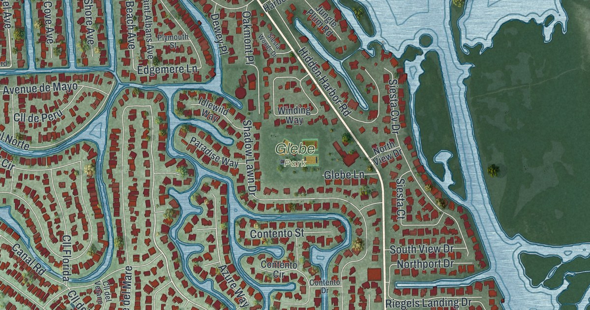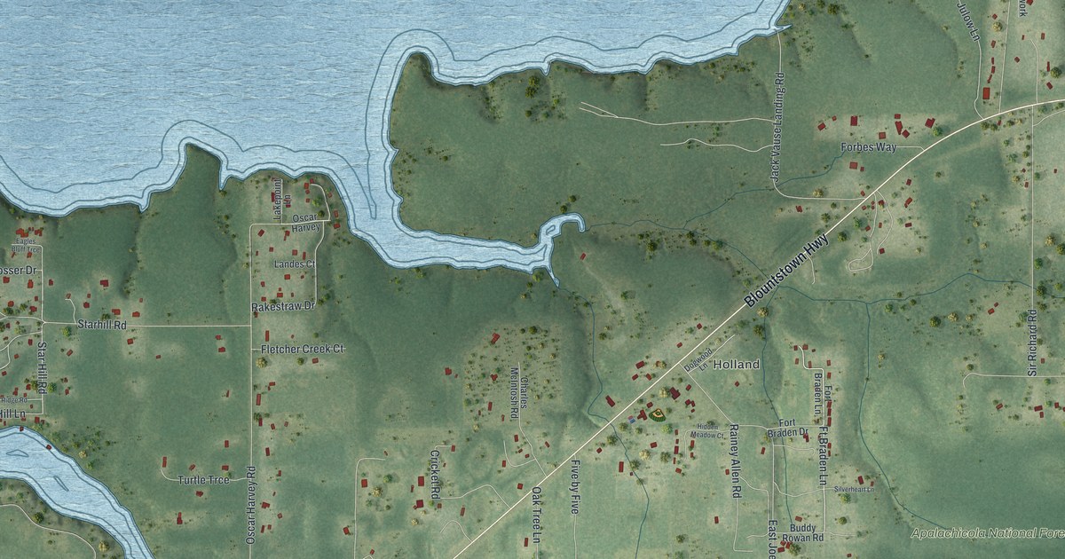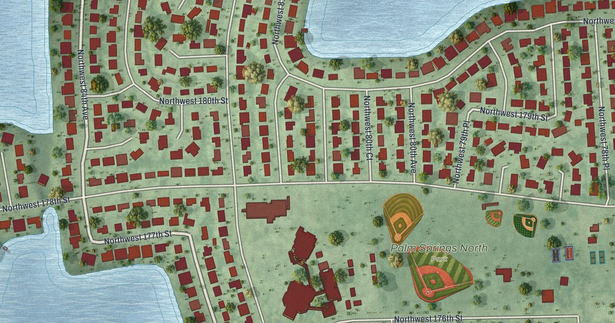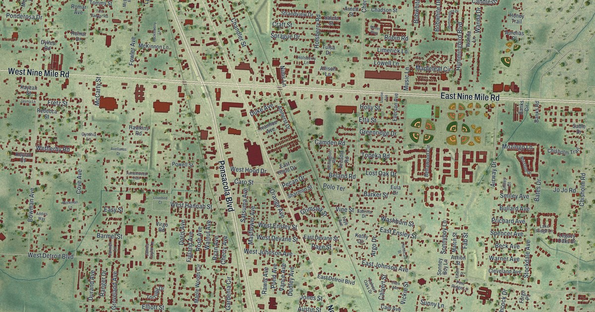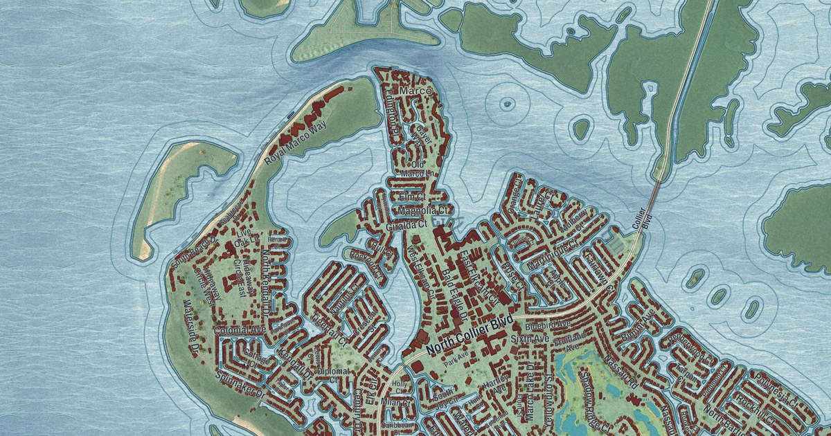
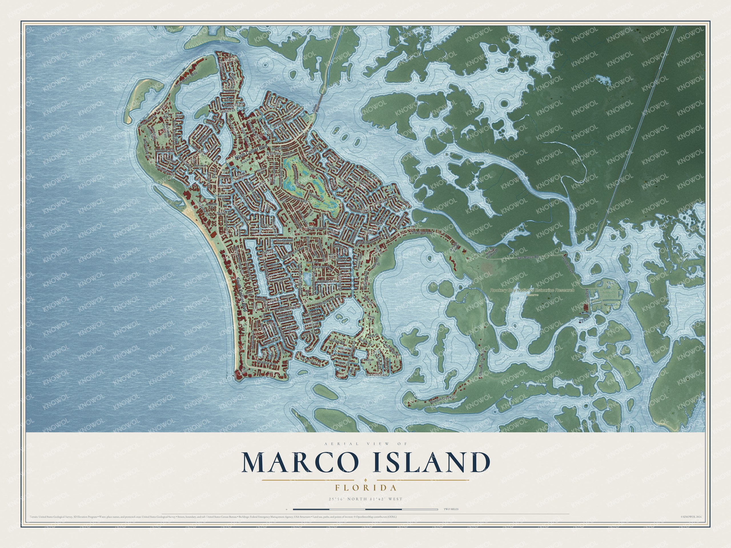
This beautifully detailed map of Marco Island, Florida was created in 2026 using aerial imagery combined with modern topographical, census, street and landmark data. It’s a one-of-a-kind view of Marco Island that combines accurate data with a vintage aesthetic. The map shows every building in its true location, many of the roads carry their names, and the shaded topographic relief shows the shape of the land.
Explore an aerial view of Marco Island, Florida
On the map you’ll find Marco, Caxambas, and Rookery Bay National Estuarine Research Reserve, along with North Collier Boulevard, South Collier Boulevard, North Kendall Drive, Sand Hill Street, Dogwood Drive, San Marco Road, North Barfield Drive, Bald Eagle Drive, Whiskey Creek Drive, and more. If you look closely you can even find your house accurately drawn in its correct location. Zoom in on the preview to look for yours.
Did You Know?
In 1896, anthropologist Frank Hamilton Cushing found Calusa artifacts on Key Marco, which was later attached to the main island. His best known find was a carved wooden figure called the Key Marco Cat. It is shown today at the Marco Island Historical Museum, on loan from the Smithsonian.
Take a closer look at the Marco Island map
Names on this map
These names are printed on this map.
Places: Marco, Caxambas and Rookery Bay National Estuarine Research Reserve.
Streets and roads: North Collier Boulevard, South Collier Boulevard, North Kendall Drive, Sand Hill Street, Dogwood Drive, San Marco Road, North Barfield Drive, Bald Eagle Drive, Whiskey Creek Drive, South Barfield Drive, South Heathwood Drive, Bluehill Creek Drive.
More street names, A to Z
Addison Court, Amazon Court, Amber Drive, Anchor Court, Angler Drive, Apple Court, Bahama Avenue South, Balfour Drive, Balmoral Court, Banyan Court, Barbarosa Court, Barcelona Court, Bass Court, Bayside Court, Bermuda Road, Bimini Avenue, Biscayne Way, Bluebird Avenue, Bond Court, Bonita Court, Buttercup Court, Cape Marco Drive, Caribbean Court, Caxambas Court, Caxambas Drive, Century Court, Century Drive, Club Marco Circle, Collier Boulevard, Collier Court, Collingswood Avenue, Colonial Avenue, Copperfield Court, Cottage Court, Crescent Street, Cutler Court, Dan River Court, Delbrook Way, Dill Court, Diplomat Court, East Elkcam Circle, East Inlet Drive, Edgewater Court, Edington Place, Elk Circle, Elm Court, Ember Court, Fairlawn Court, Fieldstone Drive, Fiji Court, Forrest Court, Front Street, Fruitland Avenue, Galleon Avenue, Gayer Way, Giralda Court, Goldenrod Avenue, Goodland Drive, Granada Drive, Greenbrier Street, Greenview Street, Gulfport Court, Hartley Avenue, Heights Court, Hickory Court, Hideaway Circle East, Hideaway Circle West, Holly Court, Honduras Avenue, Hull Court, Hummingbird Court, Hunt Court, Huron Court, Hyacinth Court, Inlet Drive, Jamaica Court, Jamaica Road, Juniper Court, Kendall Drive, Kingston Court, Kirkwood Street, Lamplighter Court, Lamplighter Drive, Landmark Street, Laurel Court, Leeward Court, Leland Way, Lewis Court, Lily Court, Live Oak Lane, Ludlam Court, Ludlow Road, Madagascar Court, Magnolia Court, Marco Lake Drive, Mariana Court, Marlin Court, Martinique Court, Maywood Court, McIlvaine Court, Milan Court, Mulberry Court, Nassau Court, Nassau Road, Nautilus Court, North Bahama Avenue, Old Marco Lane, Olds Court, Olive Court, Orange Court, Orleans Court, Panama Court, Park Avenue, Parkhouse Court, Partridge Court, Pelican Court, Pepperwood Court, Persian Court, Peru Street, Pettit Court, Piedmont Court, Polynesia Court, Quintara Court, Rainbow Court, Renard Court, Rockhill Court, Rockport Court, Rookery Court, Rose Court, Royal Marco Way, Salvadore Court, Samoa Avenue, Saturn Court, Saxon Street, Scott Drive, Seabreeze Drive, Seagrape Drive, Seaview Court, Seminole Court, Shadow Ridge Court, Sheffield Avenue, Shenandoah Court, Sixth Avenue, Society Court, South Beach Drive, South Joy Circle, South Seas Court, Spinnaker Drive, Spruce Avenue, Starfish Court, Stevens Landing Drive, Stillwater Court, Stone Court, Swallow Avenue, Tahiti Road, Tarpon Court, Taylor Court, Tigertail Court, Travida Terrace, Trinidad Avenue, Twilight Way, Twin Oak Court, Villa Court, Vintage Bay Drive, Waterleaf Court, Waterside Drive, Watson Road, West Elkcam Circle, West Flamingo Circle, Whiteheart Avenue, Winterberry Drive, Woodbine Court, Worthington Street, Wren Street, Yellowbird Street.
See it on a wall
The Marco Island map as a framed print. Swipe for more.


This beautifully detailed map of Marco Island makes an attractive addition to your office, library, or den, and it can even be used to teach children the geography and history of the area. It also makes a great gift for anyone with Marco Island roots. When you’re done exploring, click here to get your copy of the Marco Island map.