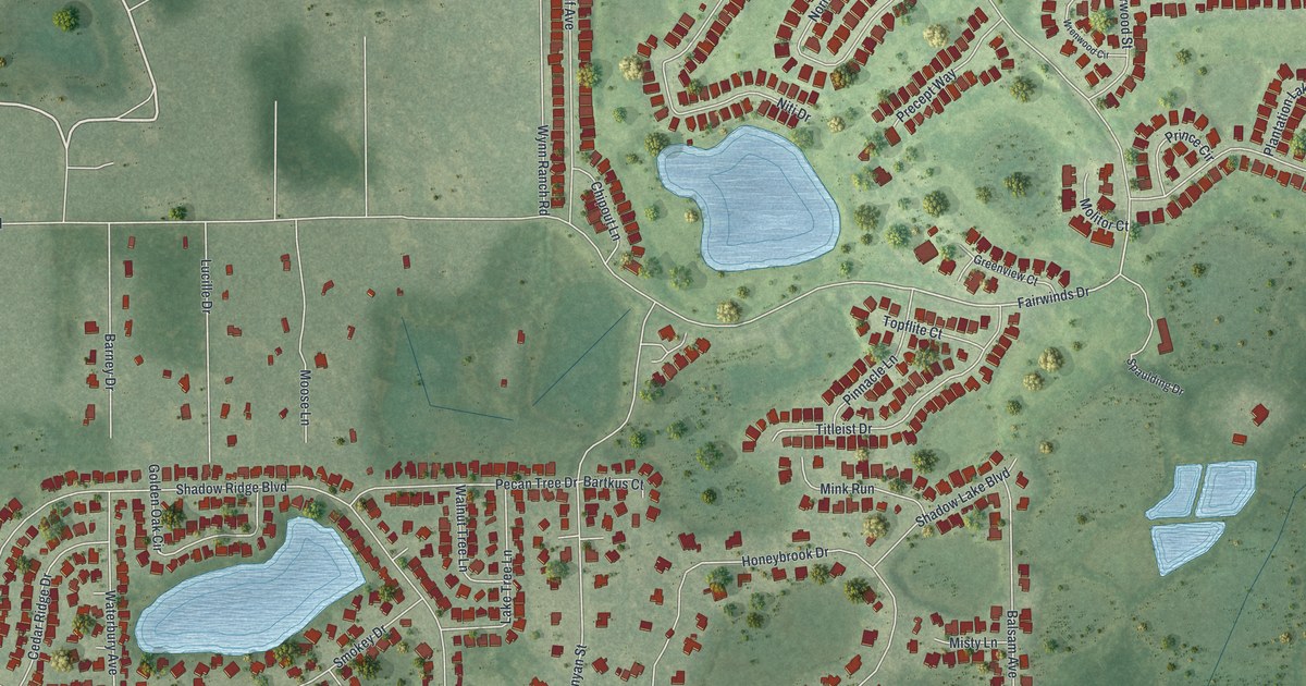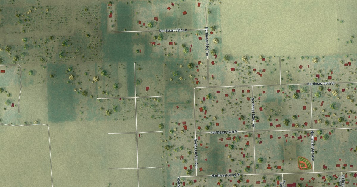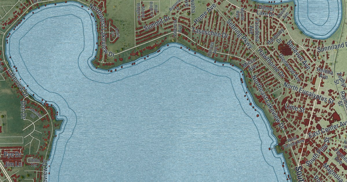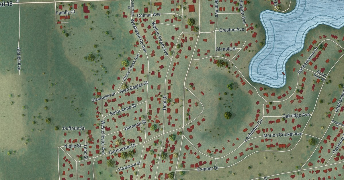
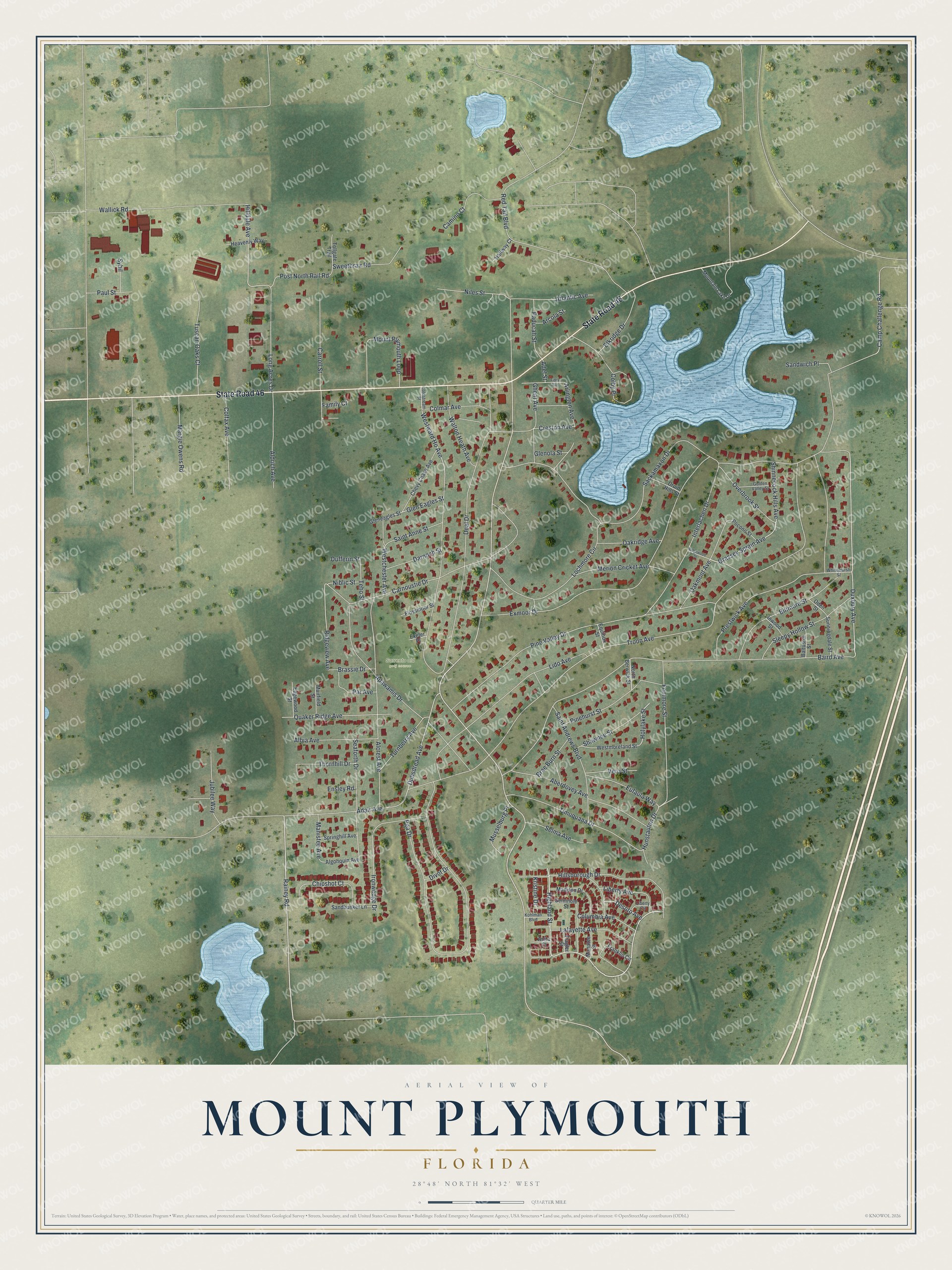
This beautifully detailed map of Mount Plymouth, Florida was created in 2026 using aerial imagery combined with modern topographical, census, street and landmark data. It's a modern aerial view of Mount Plymouth in Lake County, Florida, that combines modern data with a vintage aesthetic. The roads feature printed names, and if you look closely you can find your exact house accurately shown in its correct location.
Explore an aerial view of Mount Plymouth, Florida
On this map you'll find Sorrento old golf course, State Road 46, Hillsborough Drive, Highland Street, Rainey Road, Desoto Avenue, Grassey Sprain Avenue, Duxbury Avenue, Camp Challenge Road, Dubsdread Avenue, Hilldale Avenue, Ridgeview Avenue, and more. Each red shape is a building, so zoom in on the preview and look for yours.
Mount Plymouth is a community in Lake County. The Census Bureau counted 4,417 people here in 2020. Mount Plymouth sits about 2 miles east of Sorrento, 6 miles east of Mount Dora and 6 miles northeast of Zellwood. The map prints the town name in its title panel, with the coordinates below it.
Take a closer look at the Mount Plymouth map
Names on this map
These names are printed on this map.
Places: Sorrento old Golf Course.
Streets and roads: State Road 46, Hillsborough Drive, Highland Street, Rainey Road, Desoto Avenue, Grassey Sprain Avenue, Duxbury Avenue, Camp Challenge Road, Dubsdread Avenue, Hilldale Avenue, Ridgeview Avenue, Prestwick Avenue.
More street names, A to Z
Aberdovey Avenue, Adair Avenue, Adel Street, Albia Avenue, Alcrest Avenue, Aldrich Avenue, Algonquin Avenue, Anita Court, Apawamis Drive, Arcola Street, Arlington Avenue, Atlantic Avenue, Baird Avenue, Baltusrol Street, Biltmore Street, Brae Burn Street, Brassie Drive, Camino Court, Carnoustie Drive, Carroll Street, Chevy Chase Avenue, Chipshot Court, Colby Place, Coldstream Street, Colfax Avenue, Colmar Avenue, Columbia Avenue, Creston Avenue, Darnoch Street, Deal Drive, Divot Drive, Druid Hills Street, Dufferin Street, Edgewood Street, Elkridge Drive, Ensley Road, Equinox Street, Eufaula Way, Exeter Place, Exmoor Drive, Family Court, Fenimore Street, Fidra Avenue, Flagler Street, Flossmoor Street, Franklin Circle, Ghent Avenue, Glen Eagles Street, Gleneagles Street, Glenola Street, Golden Valley Street, Halfway Court, Heavenly Way, Holylake Street, Hunstauton Drive, Interlachen Drive, Inwood Street, Ironwedge Drive, Jubilee Way, Kohlman Boulevard, Kristine Drive, Lafayette Avenue, Liberty Avenue, Liberty Circle, Lido Avenue, Lochmore Circle, Long Acres Drive, Madison Drive, Manatee Street, Manistee Avenue, Margie Owens Road, Merion Cricket Avenue, Mountain Lake Drive, Mount Plymouth Loop, Muirfield Street, Musselburg Place, Niblic Street, Niles Street, North Berwick Street, Oakmont Avenue, Oakridge Avenue, Oden Street, Overbrook Street, Paducah Street, Par Avenue, Paul Street, Pga Drive, Pinehurst Street, Pine Valley Drive, Pocono Street, Post North Rail Road, Quaker Ridge Avenue, Red Tail Boulevard, Ridgewood Street, Sackamaxon Drive, Saint Andrews Boulevard, Saint Anne Street, Sandbunker Lane, Sandwich Place, Seaforth Drive, Selma Avenue, Seminole Street, Shawnee Street, Shinnecock Hills Avenue, Sleepy Hollow Street, Springhill Avenue, Sunningdale Street, Sweetbrair Road, Sybil, Teho Street, Thornhill Drive, Timuquana Drive, Tollgate Trail, Troon Avenue, Turnberry Avenue, Tuscan Oaks Court, Vero Street, Wallick Road, Walton Heath Avenue, Westchester Avenue, Westmoreland Street, Westward Ho Avenue, Whitemarsh Street.
See it on a wall
The Mount Plymouth map as a framed print. Swipe for more.


Created by KNOWOL in 2026. The buildings are small red shapes, the roads carry their printed names, and shaded relief shows the shape of the land. The title panel reads "AERIAL VIEW OF MOUNT PLYMOUTH, FLORIDA" with 28°48' NORTH 81°32' WEST.
Hang it in the hallway, the office or the cabin, or give it to someone who left Mount Plymouth and still calls it home. Open the preview and look for a street you know. See sizes and frames for the Mount Plymouth map.