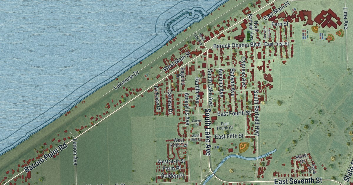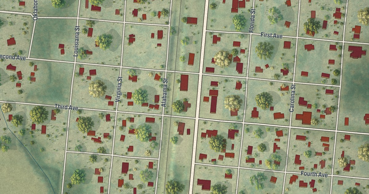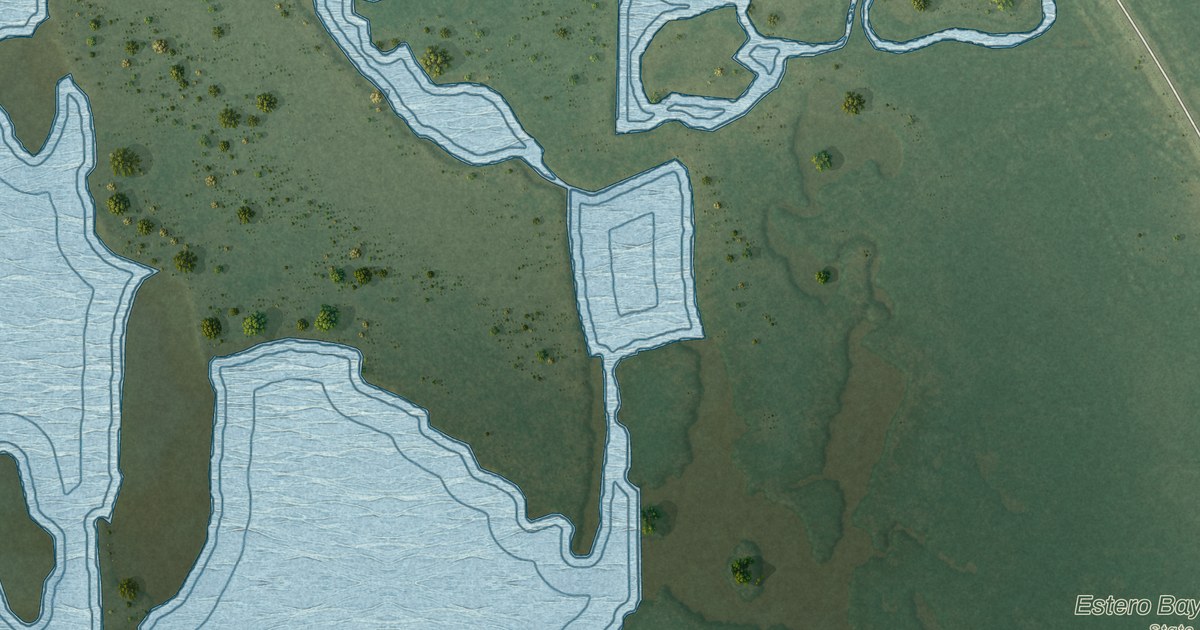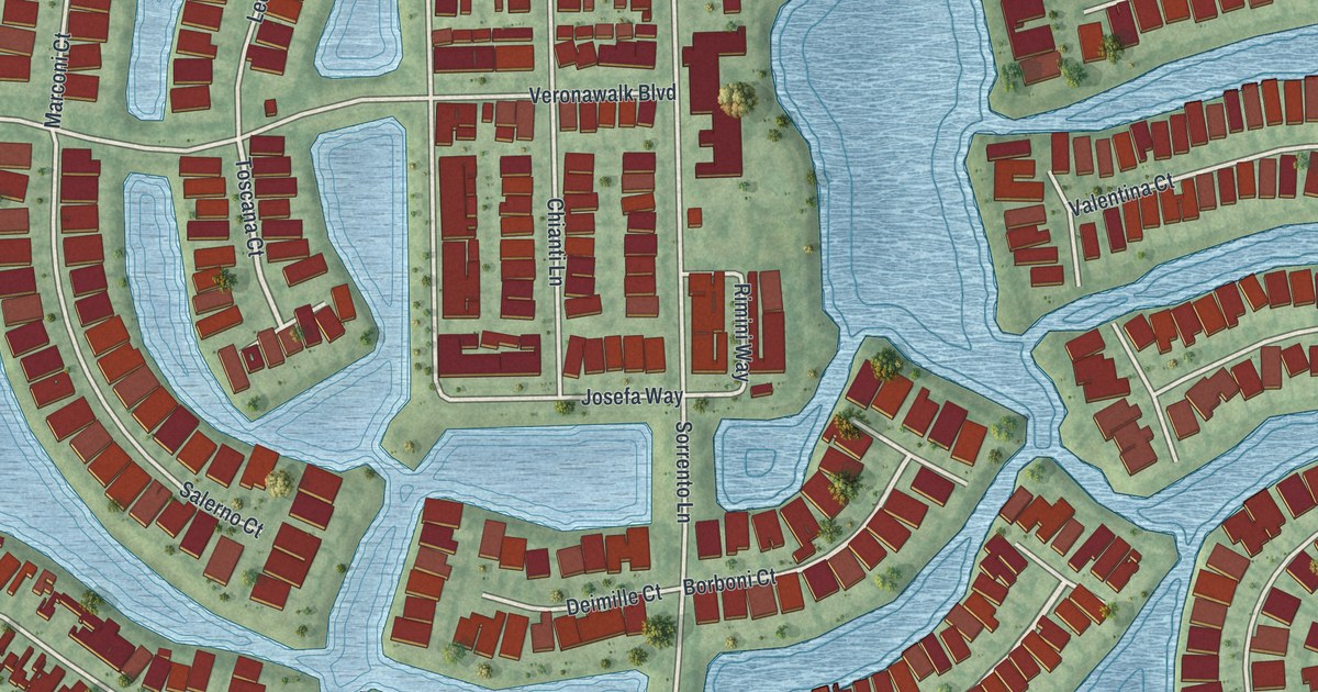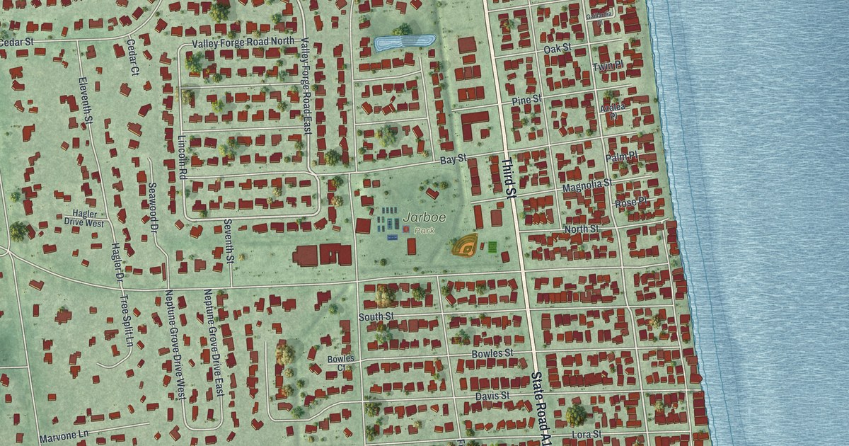
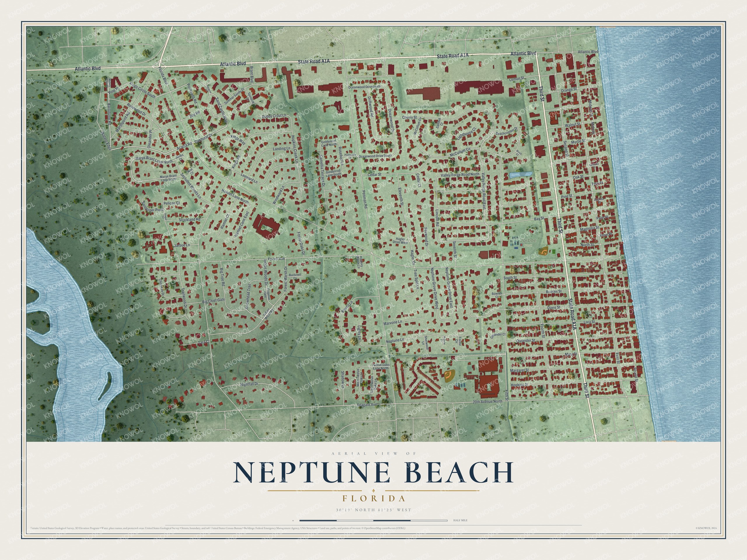
This beautifully detailed map of Neptune Beach, Florida was created in 2026 using aerial imagery combined with modern topographical, census, street and landmark data. It’s a one-of-a-kind view of Neptune Beach that combines accurate data with a vintage aesthetic. The map shows every building in its true location, many of the roads carry their names, and the shaded topographic relief shows the shape of the land.
Explore an aerial view of Neptune Beach, Florida
On the map you’ll find Jarboe Park, along with State Road A1A, Third Street, Atlantic Boulevard, Acacia Road, Sand Castle Way, Oakhurst Drive, Bartolome Road, Marye Brant Loop North, Valley Forge Road East, Magnolia Street, Midway Street, and more. If you look closely you can even find your house accurately drawn in its correct location. Zoom in on the preview to look for yours.
Did You Know?
In 1922, Dan G. Wheeler rode the Florida East Coast Railway home from his job in Jacksonville. Each evening he had to walk home from Mayport. A railroad friend told him the train would have to stop at a station. So Wheeler built his own station near his house and named it Neptune.
Take a closer look at the Neptune Beach map
Names on this map
These names are printed on this map.
Places: Jarboe Park.
Streets and roads: Third Street, Atlantic Boulevard, Acacia Road, Sand Castle Way, Oakhurst Drive, Bartolome Road, Marye Brant Loop North, Valley Forge Road East, Magnolia Street, Midway Street, Midway, Kings Circle South.
More street names, A to Z
20th Avenue North, Arrowhead Trail, Azalea Place, Bay Road, Bay Street, Beachcomber Drive, Big Chief Gate, Big Tree Road, Birch Court, Bowles Court, Bowles Street, Brant Boulevard, Bucknoll Cv, Buddy Crout Lane, Camellia Terrace Drive, Cedar Court, Cedar Street, Cherokee Drive, Cherry Street, Davis Street, Driftwood Road, East Twelve Oaks Lane, Eleventh Street, Emma Lane, Fifth Street, First Street, Florida Boulevard, Forest Avenue, Forest Circle, Forest Marsh Drive, Forest Oaks Drive, Fourth Street, Gaillardia Place, Goldenrod Lane North, Goldenrod Lane South, Hagler Drive, Hagler Drive West, Hamlet Court, Hamlet Lane East, Hamlet Lane North, Hickory Marsh Lane, Hopkins Creek Lane, Hopkins Street, Indian Wood Road, Indian Woods Drive, Jarboe Lane, Jenks Court, Kings Road, Kings Way, Landing Lane, Leeward Lane, Lemon Street, Lighthouse Court, Lighty Lane, Lincoln Road, Lora Street, Margaret Street, Marshpoint Road, Marvone Lane, Marye Brant Loop South, McCollum Circle, McCullum Circle, Myra Street, Myrtle Street, Neptune Circle, Neptune Grove Drive East, Neptune Grove Drive West, Neptune Lane, Nightfall Drive, Noe Court, North Street, Oak Street, Oceanwood Drive, Oceanwood Drive North, Oceanwood Drive South, Oleander Court, Oleander Place, Oleander Street, Orange Street, Palm Place, Pelican Court, Penman Road, Pine Place, Pine Street, Poinciana Road, Poinsettia Drive, Propose Gate, Rosebud Lane, Rose Place, Rosewood Drive, Saltwind Circle, Sandpiper Point, Sanibel Court, Seagate Avenue, Seagull Cv, Seawood Drive, Secluded Woods Lane, Second Street, Seventh Street, Shadow Lane, Sherwood Lane, South Street, Spindrift Lane, Strand Street, Strickland Road, Summer Sands Drive, Tara Court, Trailwood Drive, Tree Split Lane, Twelve Oaks Lane North, Twin Place, Valley Forge Road North, Walnut Street, Waters Edge, Waters Edge Drive, West Twelve Oaks Lane, Windward Lane.
See it on a wall
The Neptune Beach map as a framed print. Swipe for more.


This beautifully detailed map of Neptune Beach makes an attractive addition to your office, library, or den, and it can even be used to teach children the geography and history of the area. It also makes a great gift for anyone with Neptune Beach roots. When you’re done exploring, click here to get your copy of the Neptune Beach map.