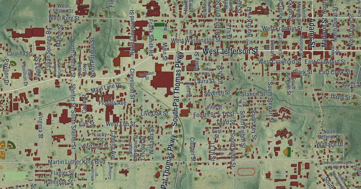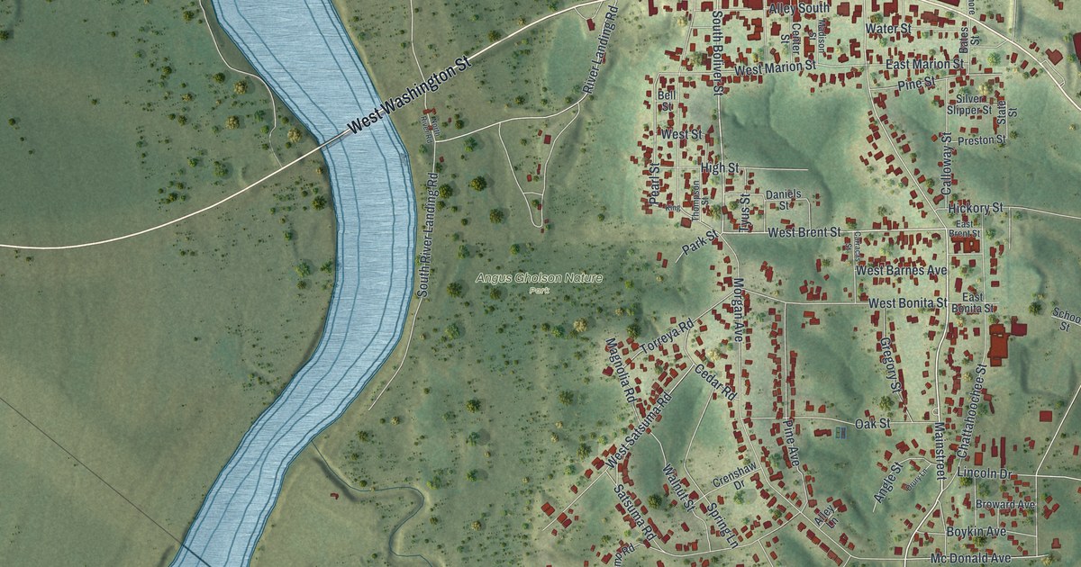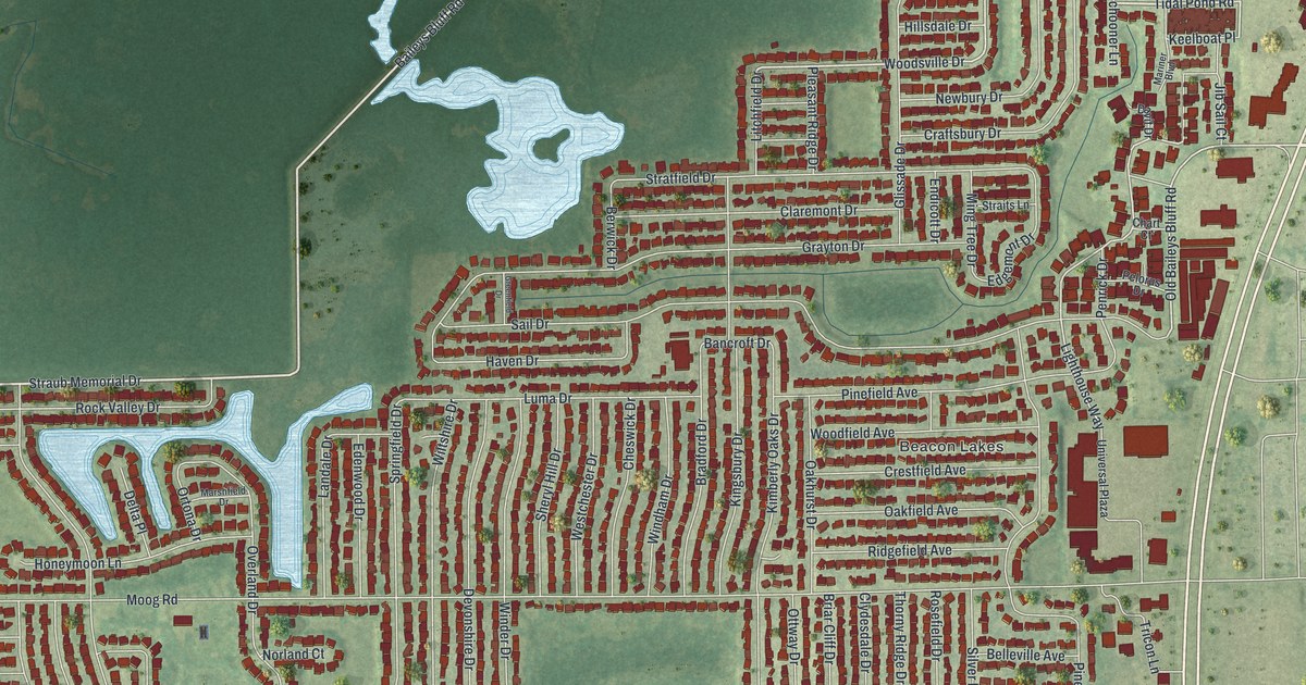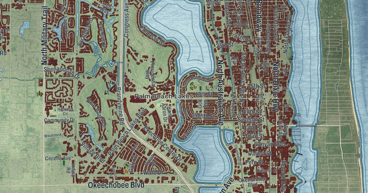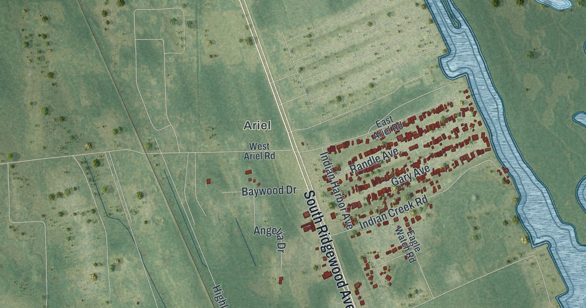
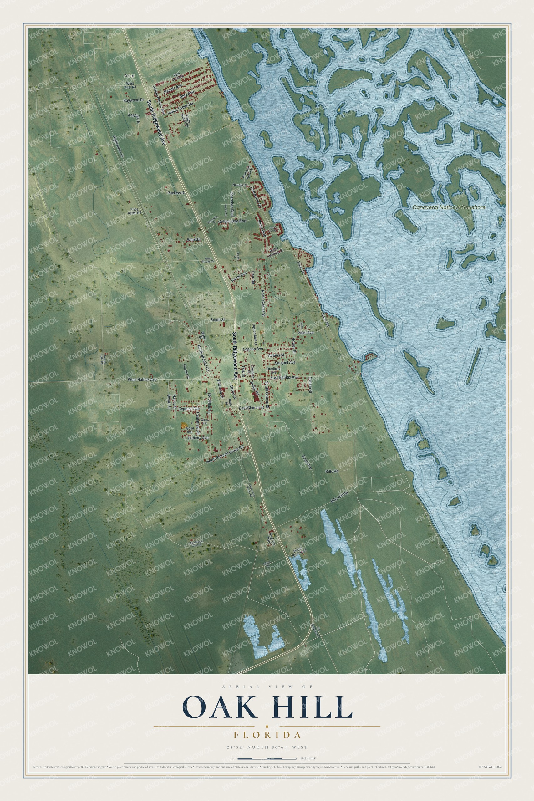
This beautifully detailed map of Oak Hill, Florida was created in 2026 using aerial imagery combined with modern topographical, census, street and landmark data. It’s a one-of-a-kind view of Oak Hill that combines accurate data with a vintage aesthetic. The map shows every building in its true location, many of the roads carry their names, and the shaded topographic relief shows the shape of the land.
Explore an aerial view of Oak Hill, Florida
On the map you’ll find Ariel and Canaveral National Seashore, along with South Ridgewood Avenue, North Brooks Circle, River Drive, Palm Avenue, West Halifax Avenue, Bills Hill Road, East Halifax Avenue, River Road, North Gaines Street, Highlander Drive, and more. If you look closely you can even find your house accurately drawn in its correct location. Zoom in on the preview to look for yours.
Did You Know?
In 2008, the county school board closed the W.F. Burns Elementary building and planned to tear it down. The nonprofit Oak Hill Community Trust bought the property in late 2009. Hundreds of volunteers spent thousands of hours fixing the buildings. It reopened in August 2011 as a charter school with 260 students.
Take a closer look at the Oak Hill map
Names on this map
These names are printed on this map.
Places: Ariel, Canaveral National Seashore and King Trlr Park.
Streets and roads: South Ridgewood Avenue, North Brooks Circle, River Drive, Palm Avenue, West Halifax Avenue, Bills Hill Road, East Halifax Avenue, River Road, North Gaines Street, Highlander Drive, Golden Bay Boulevard, Flamingo Road.
More street names, A to Z
Adams Street, Angelia Drive, Apache Avenue, Baywood Drive, Beacon Light Road, Beehive Drive, Bills Road, Bradbury Avenue, Campton Street, Canal Avenue, Cherokee Boulevard, Cheyenne Drive, County Highway 3, Cummings Street, Cypress Avenue, Dixie Lane, Eagle Watch Road, East Ariel Road, East Church Street, Eleanor Street, Ezra Road, Gary Avenue, Hickory Avenue, Howes Street, Indian Creek Road, Indian Harbor Avenue, Lagoon Avenue, Lagoon Mist Court, Maple Street, Marsh Landing Lp, Mullet Drive, Nancy Street, Navajo Drive, North Putnam Grove Road, Oak Street, Osteen Street, Payless Drive, Pine Street, Price Acres Road, Randle Avenue, Ridge Road, Riverside Knoll Drive, Sand Avenue, Sargent Avenue, Seminole Drive, Shiloh Grove Quarter Road, Shiloh Road, Shiloh Road East, Sioux Boulevard, South Gaines Street, South Street, Valencia Drive, Ward Drive, Water Landing Drive, West Ariel Road, West Brooks Circle, West Putnam Grove Road, Willow Avenue, Wood Avenue, Wyatt Street.
See it on a wall
The Oak Hill map as a framed print. Swipe for more.


This beautifully detailed map of Oak Hill makes an attractive addition to your office, library, or den, and it can even be used to teach children the geography and history of the area. It also makes a great gift for someone who left Oak Hill and still calls it home. When you’re done exploring, click here to get your copy of the Oak Hill map.