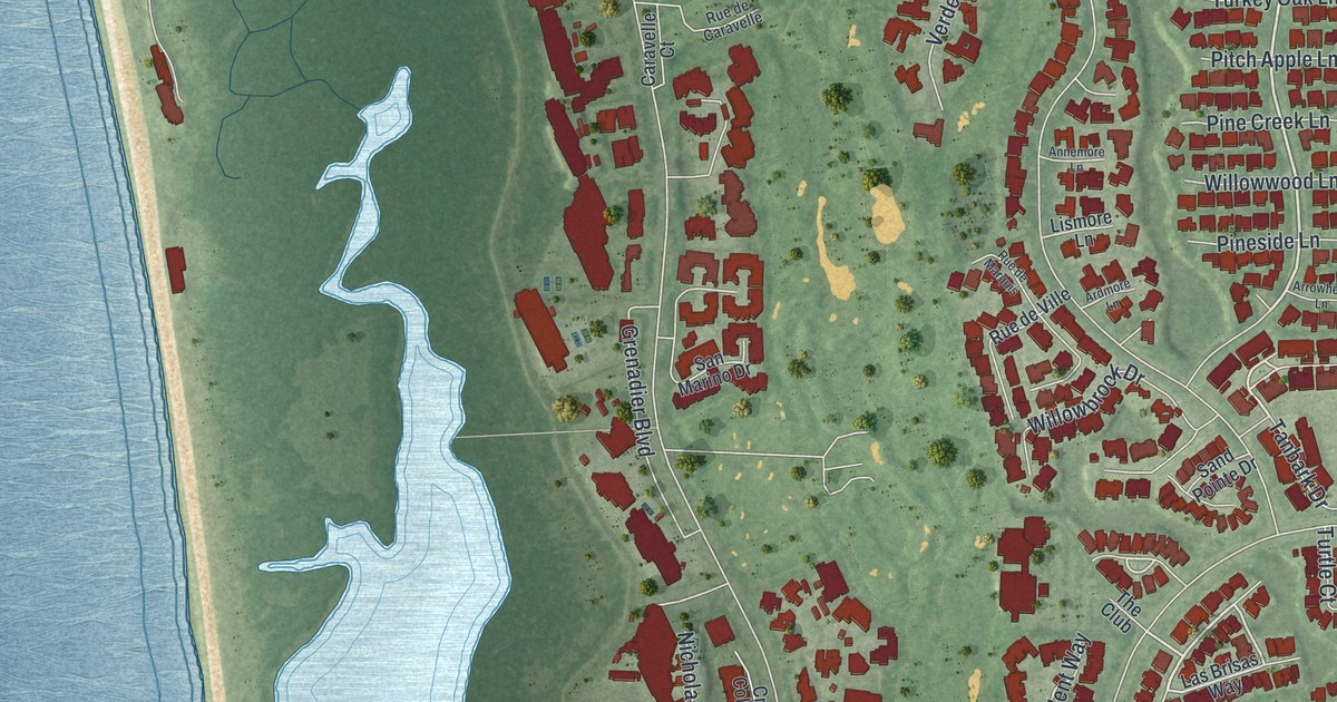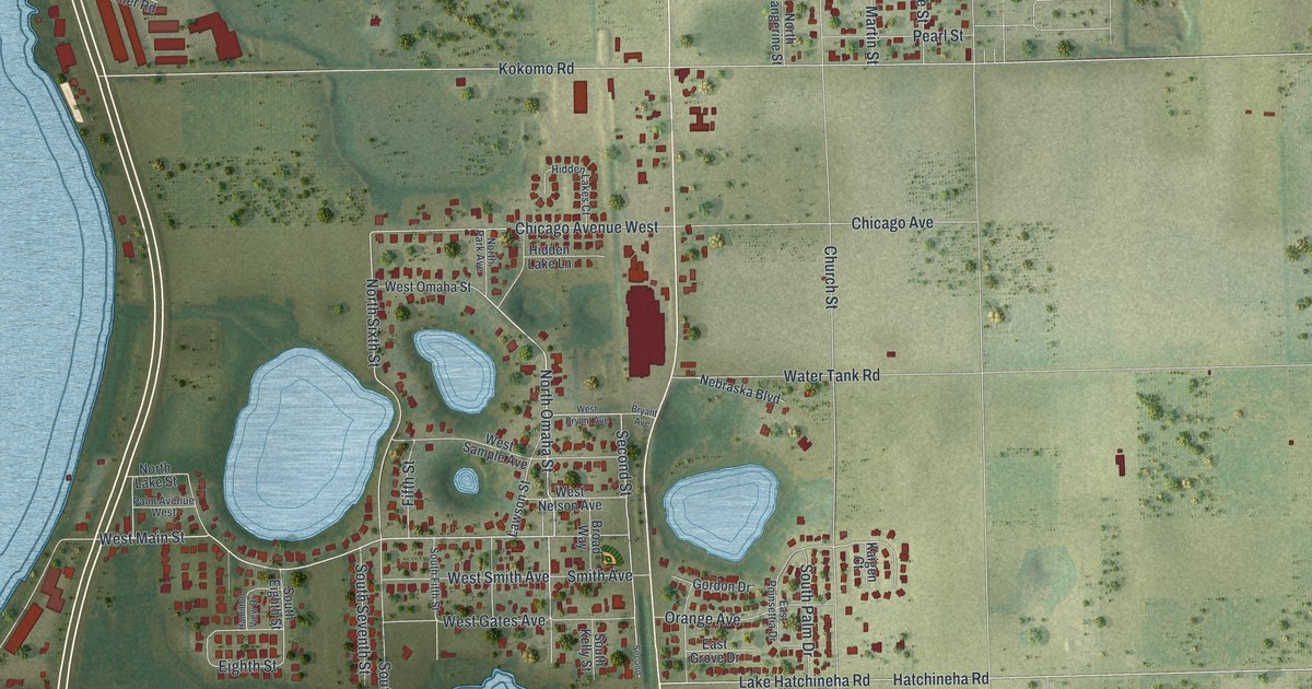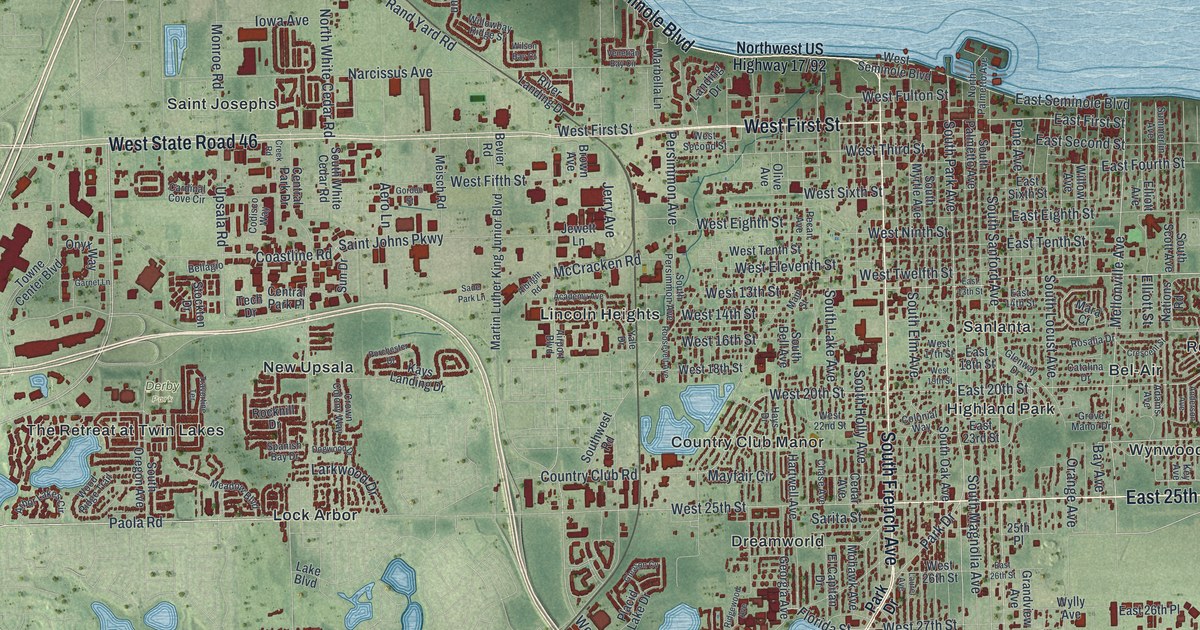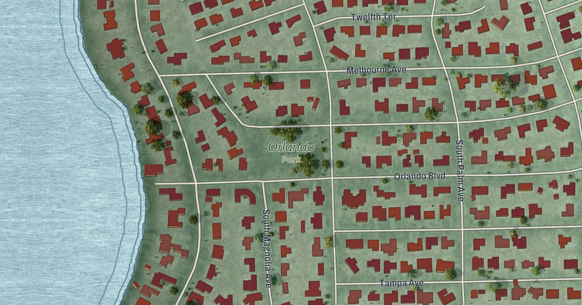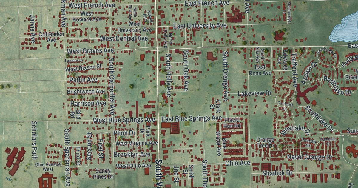
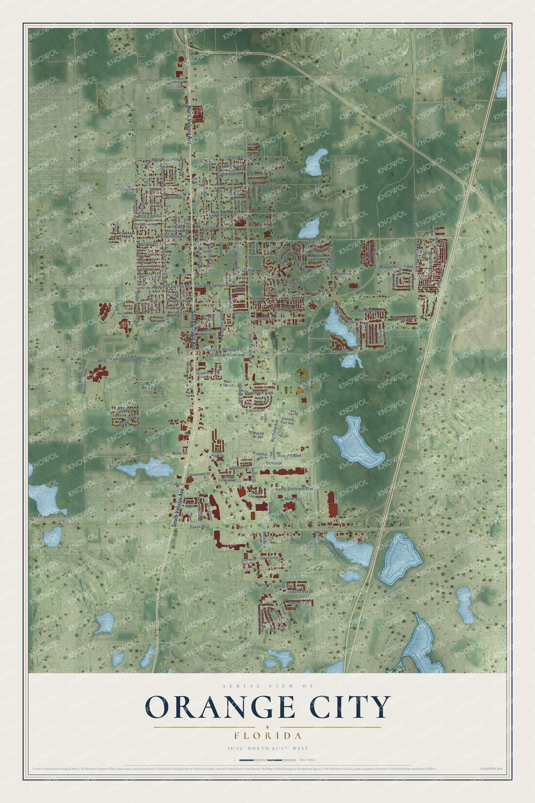
This beautifully detailed map of Orange City, Florida was created in 2026 using aerial imagery combined with modern topographical, census, street and landmark data. It’s a one-of-a-kind view of Orange City that combines accurate data with a vintage aesthetic. The map shows every building in its true location, many of the roads carry their names, and the shaded topographic relief shows the shape of the land.
Explore an aerial view of Orange City, Florida
On the map you’ll find South Volusia Avenue, North Volusia Avenue, East Graves Avenue, West Graves Avenue, Regatta Bay Drive, Saxon Boulevard, South Sparkman Avenue, South Oak Avenue, Medical Center Drive, Florida Avenue, Waterside Oaks Drive, Diplomat Drive, and more. If you look closely you can even find your house accurately drawn in its correct location. Zoom in on the preview to look for yours.
Did You Know?
The city was named for thousands of acres of orange groves around it. It was incorporated in 1882. Twelve years later, the Great Freeze killed those groves. In 1904, its mineral spring water won top honors at the Louisiana Purchase Exposition. John D. Rockefeller had the water sent to him wherever he traveled.
Take a closer look at the Orange City map
Names on this map
These names are printed on this map.
Streets and roads: South Volusia Avenue, North Volusia Avenue, East Graves Avenue, West Graves Avenue, Regatta Bay Drive, Saxon Boulevard, South Sparkman Avenue, South Oak Avenue, Medical Center Drive, Florida Avenue, Waterside Oaks Drive, Diplomat Drive.
More street names, A to Z
Abbeyview Drive, Almond Village Street, Anika Court, Annex Road, Antique Alley, Azalea Drive, Barbara Avenue, Beau Court, Big Bend Avenue, Bird Road, Bloxham Avenue, Blue Water Avenue, Bonnie Lane, Braemoor Dunes Drive, Briarcliff Drive, Briarcrest Drive, Briarwood Court, Brightwood Avenue, Brooklyn Avenue, Broward Avenue, Call Avenue, Canopy Lane, Clark Street, Columbus Avenue, Commed Boulevard, Costal Bay Drive, Countryside Drive, Crittenden Avenue, Curtis Street, Denali Drive, Doe Run Trail, East Blue Springs Avenue, East Elm Drive, East French Avenue, East Iris Drive, East Lansdowne Avenue, East Oakwood Avenue, East Rhode Island Avenue, East Rose Avenue, East University Avenue, East Wisconsin Avenue, Edwards Avenue, Enterprise Road, Fifth Street, First Street, Florabunda Circle, Florida Street, Francis Dickenson Drive, Gardenia Lane, Glazebrook Loop, Golf View Estates Drive, Grande Isle Drive, Grand Plaza Drive, Harley Strickland Boulevard, Harp Avenue, Harrison Avenue, Heather Lane, Hillside Avenue, Hollowridge Drive, Holly Branch Lane, Iris Court, Ivey Lake Drive, Jameson Drive, Jarvis Avenue, Jasmine Avenue, Joe Street, Johnson Lane, Junior Street, Katmai Drive, King Parc Road, Kings Castle Drive, Kumquat Court, Lakeview Drive, Lantern Lane, Laurel Leaf Street, Lee Avenue, Maple Avenue, Maple Street, Marilea Court, Massachusetts Avenue, Miller Road, Mimosa Avenue, Monastery Road, Montclair Avenue, Montclair Terrace, Moss Village Street, Natural Oaks Drive, Navel Orange Drive, North Carpenter Avenue, North Holly Avenue, North Industrial Drive, North Kentucky Avenue, Northlake Drive, North Leavitt Avenue, North Orange Avenue, North Park Avenue, North Pine Avenue, North Silverstone Court, North Sparkman Avenue, North Thorpe Avenue, Oak Landing Drive, Oak Terrace, Oak Village Street, Ohio Avenue, Ohio Avenue West, Orange City Villas, Orange Tree Drive, Parc Hill Boulevard, Park Drive, Patlin Avenue, Pineland Court, Pineview Drive, Placid Run Road, Plum Drive, Poncan Drive, Racine, Racine Road, Rich Avenue, Rockne Drive, Sandy Pines Drive, Scholars Path, Second Street, Shadick Drive, Shady Lane, Sherman Street, Sherwood Oaks Road, Signature Drive, Smith Street, South Ada Avenue, South Carpenter Avenue, South Holly Avenue, South Industrial Drive, South Kentucky Avenue, Southlake Drive, South Leavitt Avenue, South Orange Avenue, South Thorpe Avenue, Stags Leap Drive, Stonebridge Lane, Strawberry Oaks Drive, Sumner Avenue, Sunset Boulevard, Tappan Circle, Taylor Drive, Terrace Hill Boulevard, Third Street, Town Center Drive, Trafford Avenue, Treadgill Place, Treemonte Drive, Upper Cape Road, Veterans Memorial Parkway, Victoria Parc Avenue, Voyageurs Avenue, Wellness Avenue, West Blue Springs Avenue, West Central Avenue, West Dixson Street, West Elm Drive, West Fern Drive, West French Avenue, West Holly Drive, West Howard Avenue, Westlake Drive, West Lansdowne Avenue, West May Street, West Minnesota Avenue, West Ohio Avenue, West Pine Street, West Rhode Island Avenue, Westside Parkway, West University Avenue, West Virginia Avenue, West Wisconsin Avenue, White Birch Court, Windermere Lane.
See it on a wall
The Orange City map as a framed print. Swipe for more.


This beautifully detailed map of Orange City makes an attractive addition to your office, library, or den, and it can even be used to teach children the geography and history of the area. It also makes a great gift for anyone who grew up in Orange City or moved away. When you’re done exploring, click here to get your copy of the Orange City map.