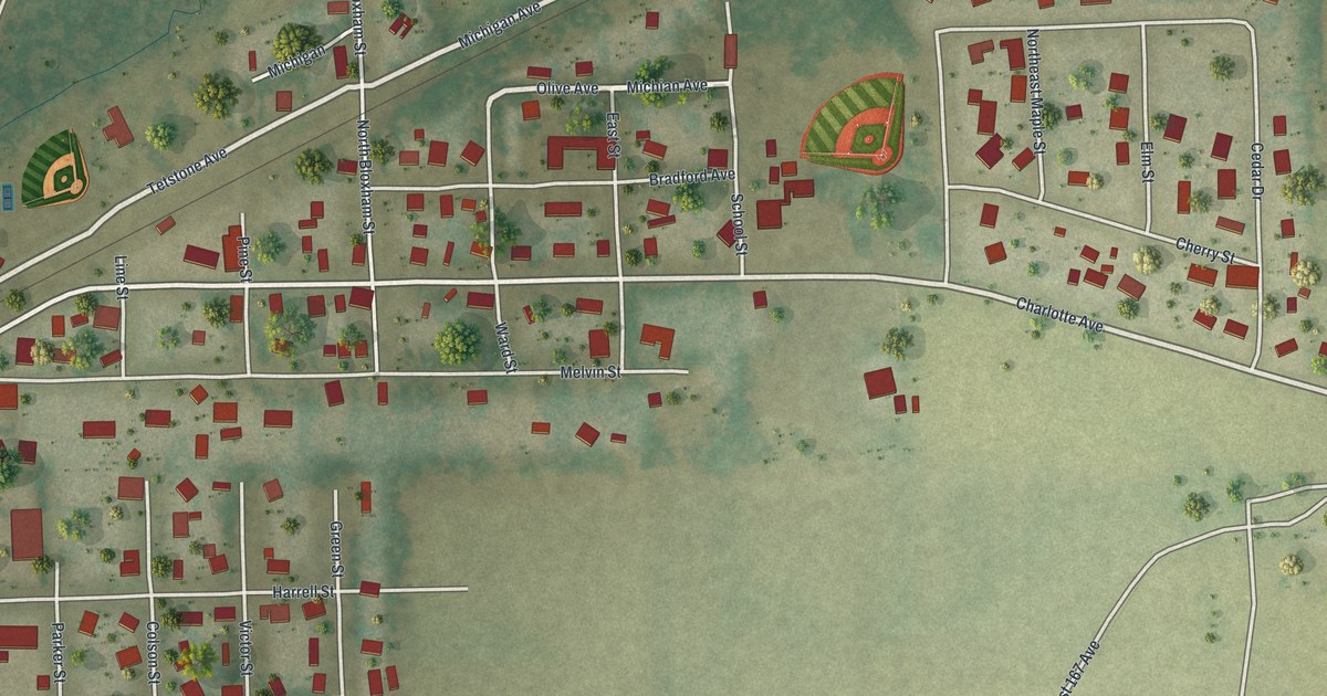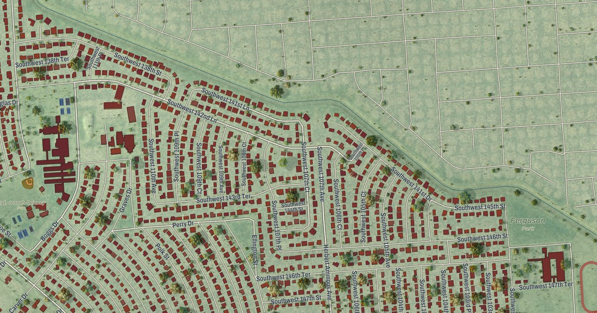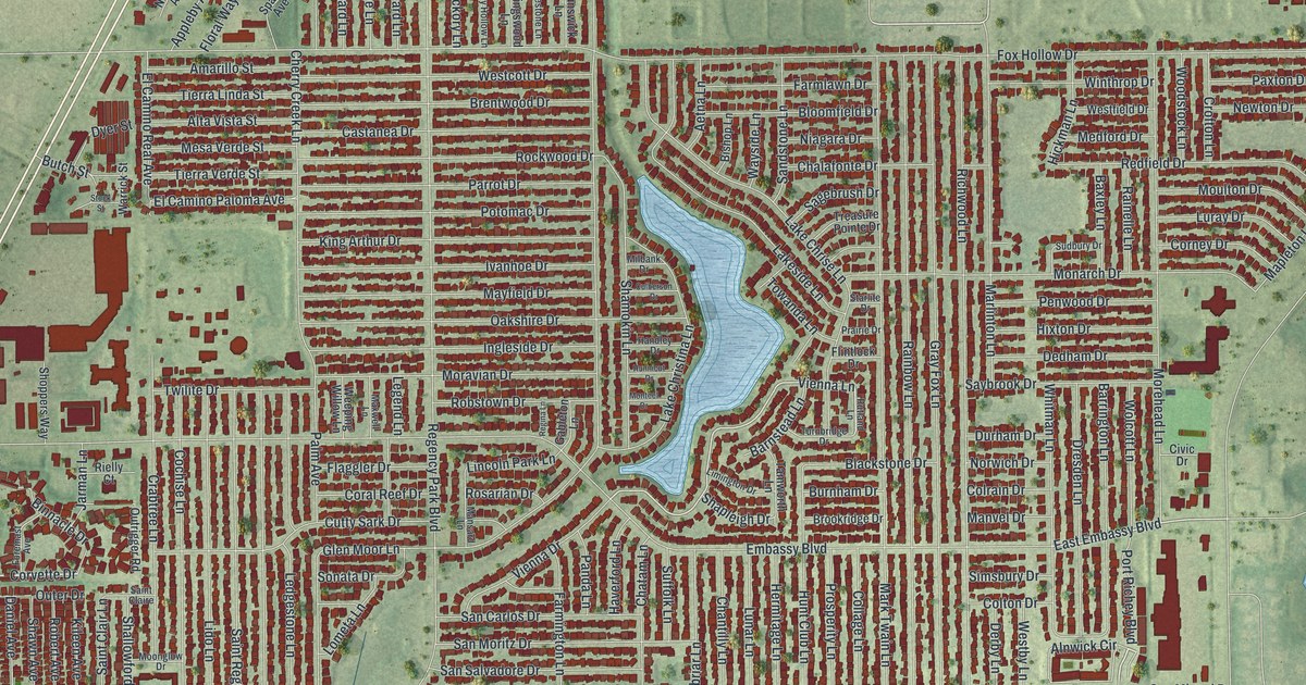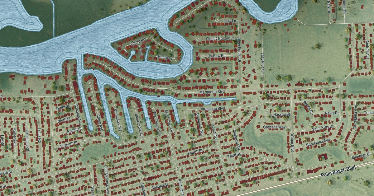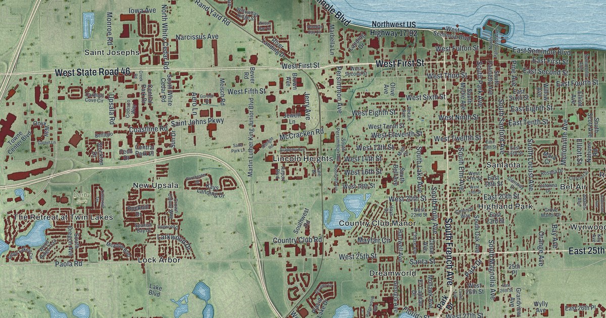
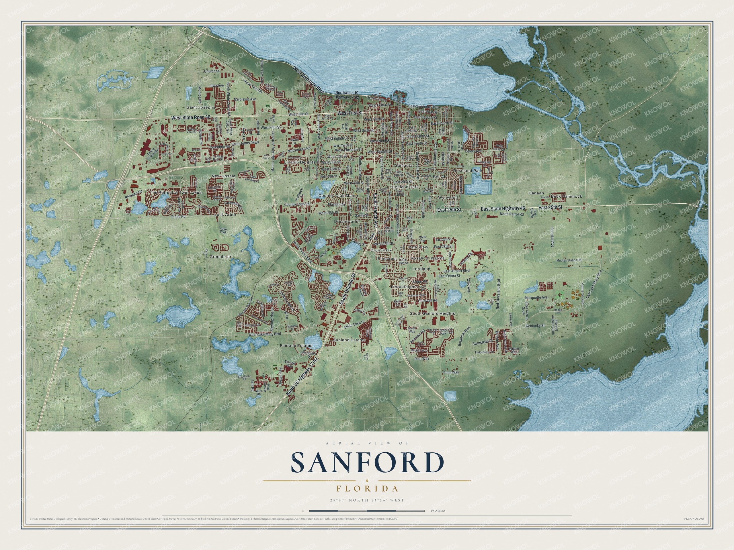
This beautifully detailed map of Sanford, Florida was created in 2026 using aerial imagery combined with modern topographical, census, street and landmark data. It’s a one-of-a-kind view of Sanford that combines accurate data with a vintage aesthetic. The map shows every building in its true location, many of the roads carry their names, and the shaded topographic relief shows the shape of the land.
Explore an aerial view of Sanford, Florida
On the map you’ll find Derby Park, Beck Hammock, Bel-Air, Canaan, Country Club Manor, Dreamworld, Druid Park, Fairlane Estates, Flora Heights, Greenbriar, Highland Park, Lincoln Heights, and more. If you look closely you can even find your house accurately drawn in its correct location. Zoom in on the preview to look for yours.
Did You Know?
During the Second Seminole War, the U.S. Army set up Camp Monroe in 1836. After a Seminole attack on February 8, 1837, it became Fort Mellon, for Captain Charles Mellon, the lone American casualty. The town of Mellonville grew around the fort. In 1870, Henry Shelton Sanford laid out a new community to the west, which absorbed Mellonville in 1883.
Take a closer look at the Sanford map
Names on this map
These names are printed on this map.
Places: Derby Park, Beck Hammock, Bel-Air, Canaan, Country Club Manor, Dreamworld, Druid Park, Fairlane Estates, Flora Heights, Greenbriar, Highland Park, Lincoln Heights, Lock Arbor, Lordland, New Upsala, Park View, Pinecrest, Rosalind Heights, Roseland Park, Saint Josephs, Sanlanta, South Sanford Heights, Sunland Estates, The Retreat at Twin Lakes and Wynwood.
Streets and roads: East 25th Street, East State Highway 46, South French Avenue, West Seminole Boulevard, South Orlando Drive, West First Street, West State Road 46, East Lake Mary Boulevard, Rinehart Road, South Park Avenue, Mellonville Avenue, Celery Avenue.
More street names, A to Z
25th Place, Academy Avenue, Adams Avenue, Aero Lane, Airport Boulevard, Albright Road, Anderson Avenue, Andrews Road, Anthony Drive, Arbor Lakes Circle, Art Lane, Bay Avenue, Beardall Avenue, Beardall Avenue South, Bedford Road, Belgian Way, Bellagio, Bella Rosa Circle, Bevier Road, Borada Road, Botanical Way, Bridge Road, Brisson Avenue, Bristol Forest Trail, Broadmoor Road, Brown Avenue, Cameron Avenue, Cardinal Cove Circle, Carrier Avenue, Casa Marina Place, Catalina Drive, Cedar Avenue, Celery Oaks Lane, Celery Palm Cv, Central Park Drive, Central Park Place, Chase Avenue, Church Street, Clays Drive, Coastline Road, Codisco Way, Colonial Way, Conch Key Way, Cornwall Road, Country Club Road, Creek Road, Crescent Street, Crown Colony Way, Dogwood Drive, East 13th Street, East 14th Street, East 18th Street, East 20th Street, East 23rd Street, East 26th Place, East 26th Street, East 28th Street, East 29th Street, East Airport Boulevard, East Eighth Street, East First Street, East Fourth Street, East Onora Street, East Second Street, East Seminole Boulevard, East Sixth Street, East Tenth Street, El Capitan Drive, Elliott Avenue, Elliott Street, Eslinger Way, Eudell Drive, Fairfield Drive, First Drive, First Road, Florida Street, Frog Alley Street, Garnet Lane, Georgia Avenue, Gleason Cv, Glenway Drive, Gordon Street, Grandview Avenue, Grove Manor Drive, Grovewood Avenue, Hangar Road, Hansom Parkway, Hartwell Avenue, Hays Drive, Hazel Boulevard, Hellcat Lane, Hibiscus Drive, Hidden Lake Drive, Hospital Road, Iowa Avenue, Jerry Avenue, Jewett Lane, Kays Landing Drive, Kelly Circle, Kentucky Street, Key Avenue, Krider Road, Lake Ada Circle, Lake Boulevard, Landing Drive, Larkwood Drive, Laura Avenue, Laurel Avenue, Live Oak Boulevard, Magnolia Park Trail, Magpie Way, Main Road, Main Street, Mara Court, Marbella Lane, Marquette Avenue, Martin Luther King Junior Boulevard, Mayfair Circle, McCracken Road, McKay Boulevard, Meadow Boulevard, Meadow Street, Meisch Road, Mohawk Avenue, Monroe Road, Moores Station Road, Narcissus Avenue, Nations Road, Night Heron Drive, Northlake Drive, North Palmetto Avenue, North Patrol Road, North Ronald Reagan Boulevard, North Way, North White Cedar Road, Ohio Avenue, Old Lake Mary Road, Olive Avenue, Onyx Way, Orange Avenue, Palmetto Avenue, Palm Way, Paola Road, Park Drive, Pecan Avenue, Persimmon Avenue, Pine Avenue, Pinefield Drive, Pine Isle Drive, Pine Oak Trail, Pine Way, Pisa Lane, Placid Lake Drive, Porchester Drive, Pot Road, Rand Yard Road, Rantoul Lane, Red Cleveland Boulevard, Ridgewood Avenue, River Landing Drive, Rockhill Drive, Roosevelt Avenue, Rosalia Drive, Rose Drive, Rose Hill Trail, Sade Park Lane, Saint Johns Parkway, Sanora Boulevard, Sarita Street, Silver Lake Drive, Sipes Avenue South, Solara Circle, South Bell Avenue, South Elm Avenue, South Holly Avenue, South Lake Avenue, South Locust Avenue, South Magnolia Avenue, South Mellonville Avenue, South Myrtle Avenue, South Oak Avenue, South Oregon Avenue, South Palmetto Avenue, South Persimmon Avenue, South Sanford Avenue, South Scott Avenue, Southwest Road, South White Cedar Road, Spanish Bay Drive, Springview Drive, Stenstrom Boulevard, Sterling Pine Street, Stockton Drive, Summerlin Avenue, Sun Drive, Swinstead Drive, Tech Drive, Tinley Terrace, Towne Center Boulevard, Travertine Terrace, Tudor Rose Drive, Upsala Road, Venetian Bay Circle, Walnut Crest Run, Wax Myrtle Drive, Weldon Boulevard, West 13th Street, West 14th Street, West 16th Street, West 17th Street, West 18th Street, West 19th Street, West 20th Street, West 22nd Street, West 25th Street, West 26th Street, West 27th Street, West Airport Boulevard, West Eighth Street, West Eleventh Street, West Fifth Street, West Fulton Street, West Lake Mary Boulevard, West Ninth Street, West Second Street, West Sixth Street, West Tenth Street, West Third Street, West Twelfth Street, Wildwood Drive, Willow Avenue, Willowbay Ridge Street, Wilson Bay Court, Windsor Lake Circle, Woodland Drive, Wood Ridge Trail, Wylly Avenue, Yale Drive.
See it on a wall
The Sanford map as a framed print. Swipe for more.


This beautifully detailed map of Sanford makes an attractive addition to your office, library, or den, and it can even be used to teach children the geography and history of the area. It also makes a great gift for anyone with Sanford roots. When you’re done exploring, click here to get your copy of the Sanford map.