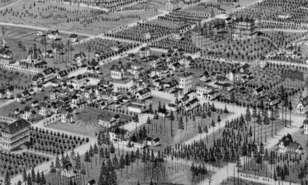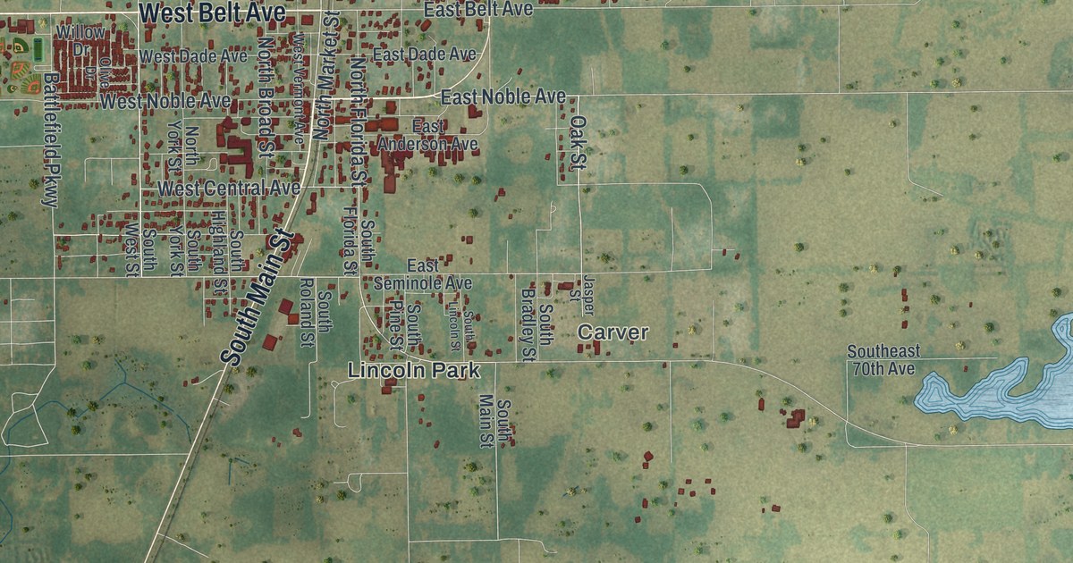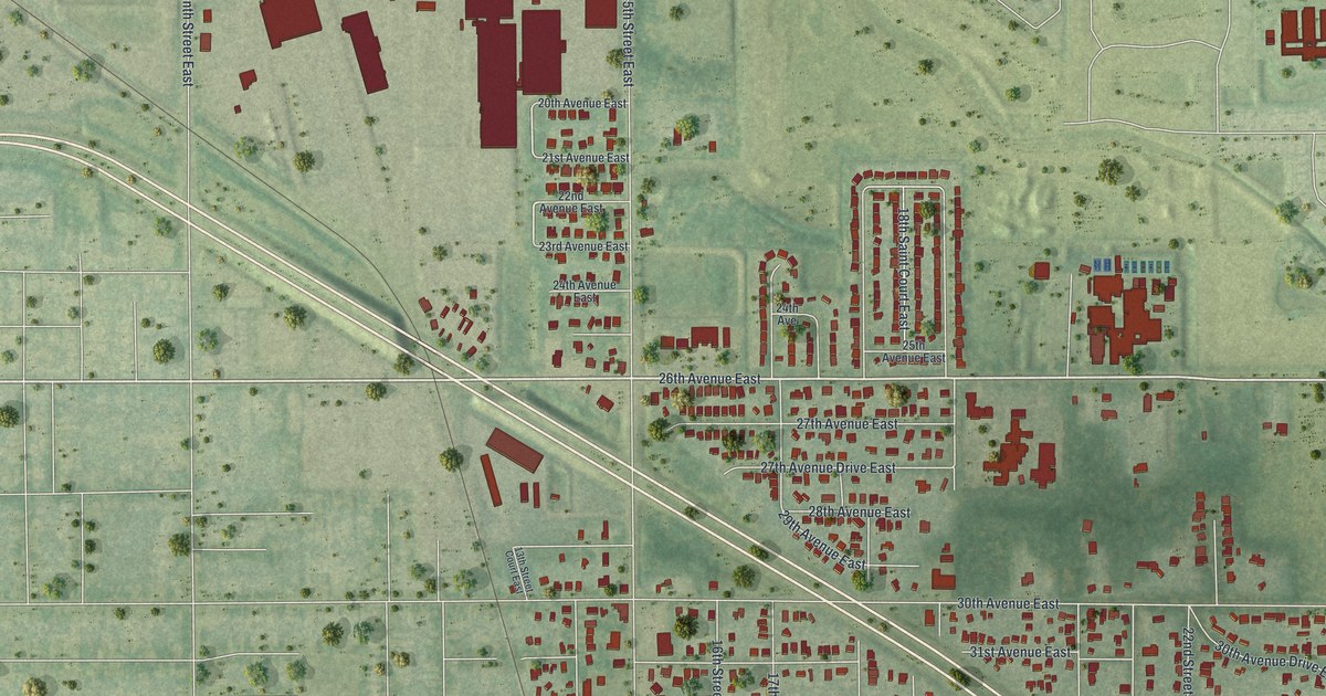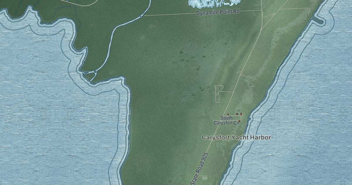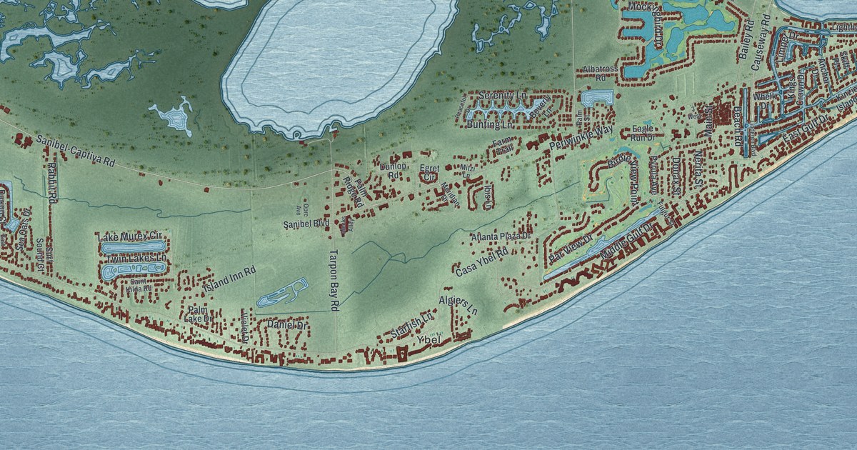
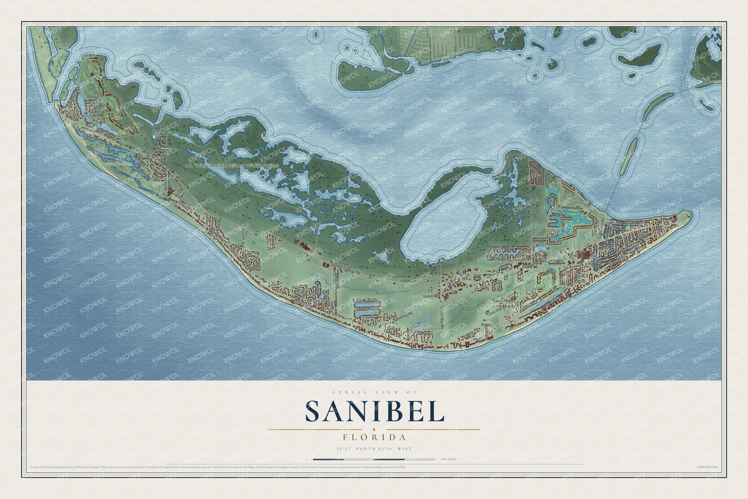
This beautifully detailed map of Sanibel, Florida was created in 2026 using aerial imagery combined with modern topographical, census, street and landmark data. It’s a one-of-a-kind view of Sanibel that combines accurate data with a vintage aesthetic. The map shows every building in its true location, many of the roads carry their names, and the shaded topographic relief shows the shape of the land.
Explore an aerial view of Sanibel, Florida
On the map you’ll find Wulfert, Ybel, and Bowman’s Beach, along with Causeway Road, Middle Gulf Drive, Sanibel-Captiva Road, Par View Drive, Periwinkle Way, Wildlife Drive, Twin Lakes Lane, Lake Murex Circle, West Gulf Drive, and more. If you look closely you can even find your house accurately drawn in its correct location. Zoom in on the preview to look for yours.
Did You Know?
A land company tried to settle Sanibel in 1832, but the colony failed and was abandoned by 1849. Settlers returned after the Homestead Act of 1862, and the lighthouse was finished in 1884. A causeway replaced the ferry in 1963 and set off fast growth. Residents incorporated the city in 1974 to control development.
Take a closer look at the Sanibel map
Names on this map
These names are printed on this map.
Places: Wulfert, Ybel, Bowman's Beach and J.N. "Ding" Darling National Wildlife Refuge.
Streets and roads: Causeway Road, Middle Gulf Drive, Sanibel-Captiva Road, Par View Drive, Periwinkle Way, Wildlife Drive, Twin Lakes Lane, Lake Murex Circle, West Gulf Drive, Sand Castle Road, Wulfert Road, Dixie Beach Boulevard.
More street names, A to Z
3 West, Albatross Road, Alecks Alley, Algiers Lane, Anchor Drive, Angel Drive, Atlanta Plaza Drive, Bailey Road, Baltusrol Court, Bay Drive, Bayview Drive, Beach Road, Beverly Lane, Birdie View Point, Bird Lane, Bowmans Beach Road, Buck Key Road, Buckthorn Lane, Bunting Lane, Caloosa End Lane, Casa Ybel Road, Causey Court, Coconut Drive, Coquina Drive, Daniel Drive, Dingman Drive, Dinkins Lake Road, Donax Street, Dunlop Road, Durion Court, Eagle Run Drive, East Gulf Drive, East Rocks Drive, Egret Circle, Farm Trail, Fulgur Street, Gulf Pines Drive, Henderson Road, Ibis Lane, Isabel Drive, Island Inn Road, Jamaica Drive, Joewood Drive, Kincaid Court, Kings Crown Drive, Kinzie Island Court, Lagoon Drive, Lighthouse Way, Limpet Drive, Lindgren Boulevard, Main Street, Meridian Drive, Mitzi Lane, Mockingbird Drive, Nerita Street, Opre Avenue, Osprey Court, Palm Lake Drive, Palm Ridge Road, Palm Street, Peaceful Drive, Pine Avenue, Pine Tree Drive, Pyrula Avenue, Rabbit Road, Rue Bayou, Rue Belle Mer, Saint Kilda Road, Sanctuary Road, Sanibel Boulevard, Seagrape Lane, Sea Oats Drive, Serenity Lane, Skiff Place, Starfish Lane, Starling Way, Surf Sound Court, Tahiti Drive, Tahiti Shores Road, Tarpon Bay Road, Troon Court, Umbrella Pool Road, Venus Drive, Violet Drive, Whelk Drive, White Heron Lane, White Ibis Drive, Wild Lime Drive, Woodring Road.
See it on a wall
The Sanibel map as a framed print. Swipe for more.


This beautifully detailed map of Sanibel makes an attractive addition to your office, library, or den, and it can even be used to teach children the geography and history of the area. It also makes a great gift for anyone with Sanibel roots. When you’re done exploring, click here to get your copy of the Sanibel map.