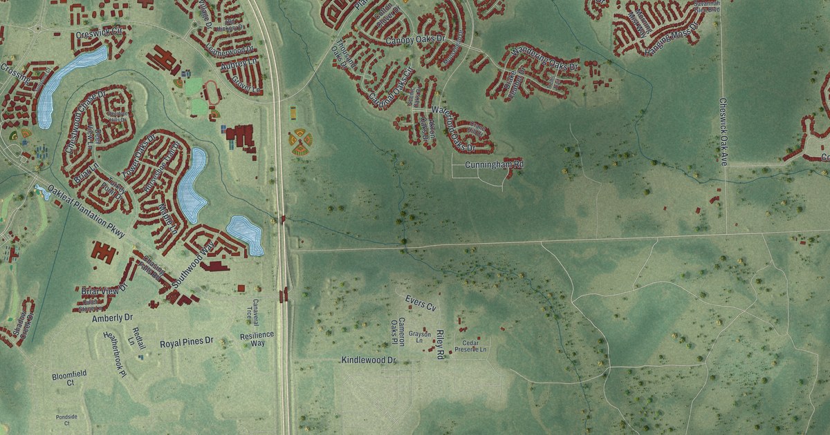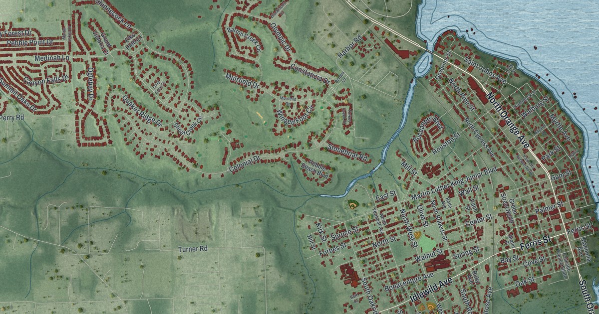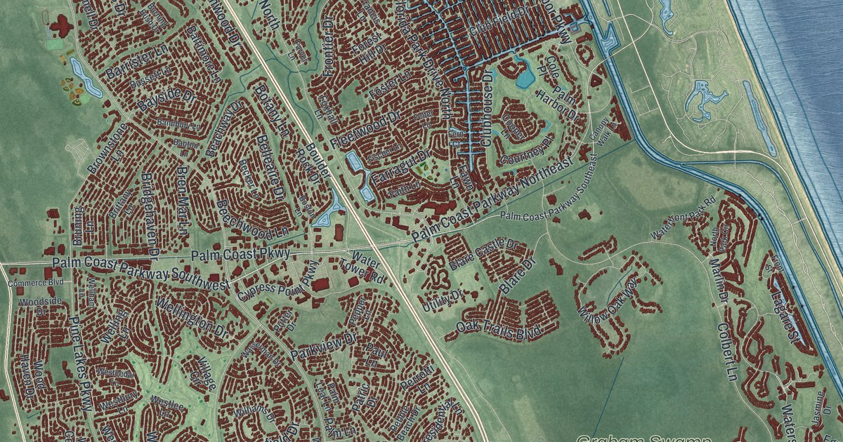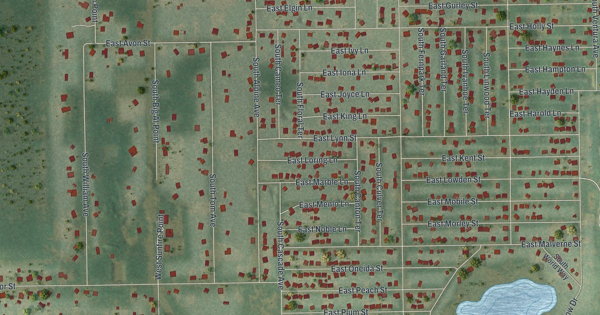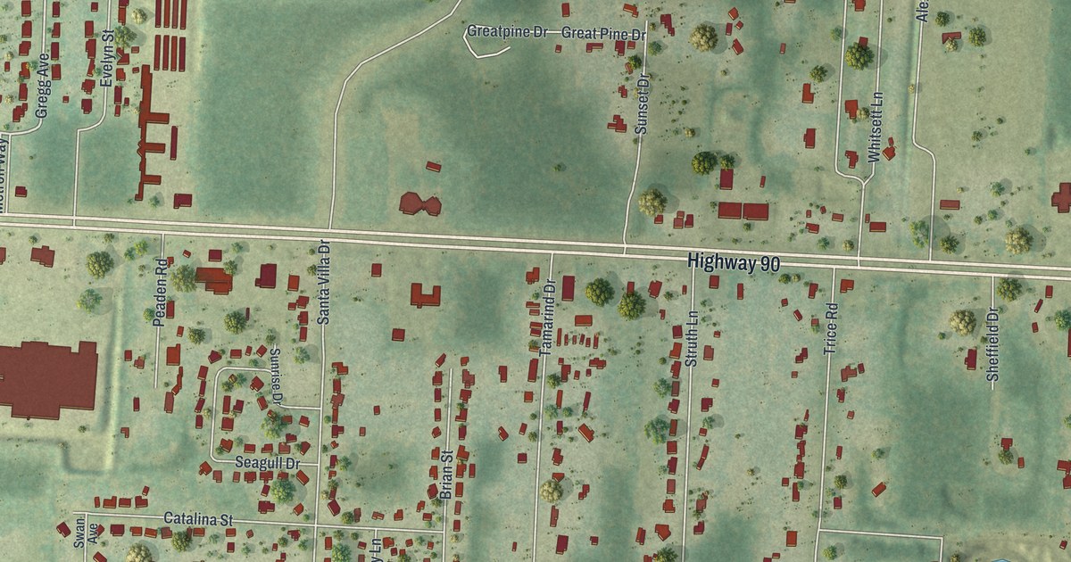
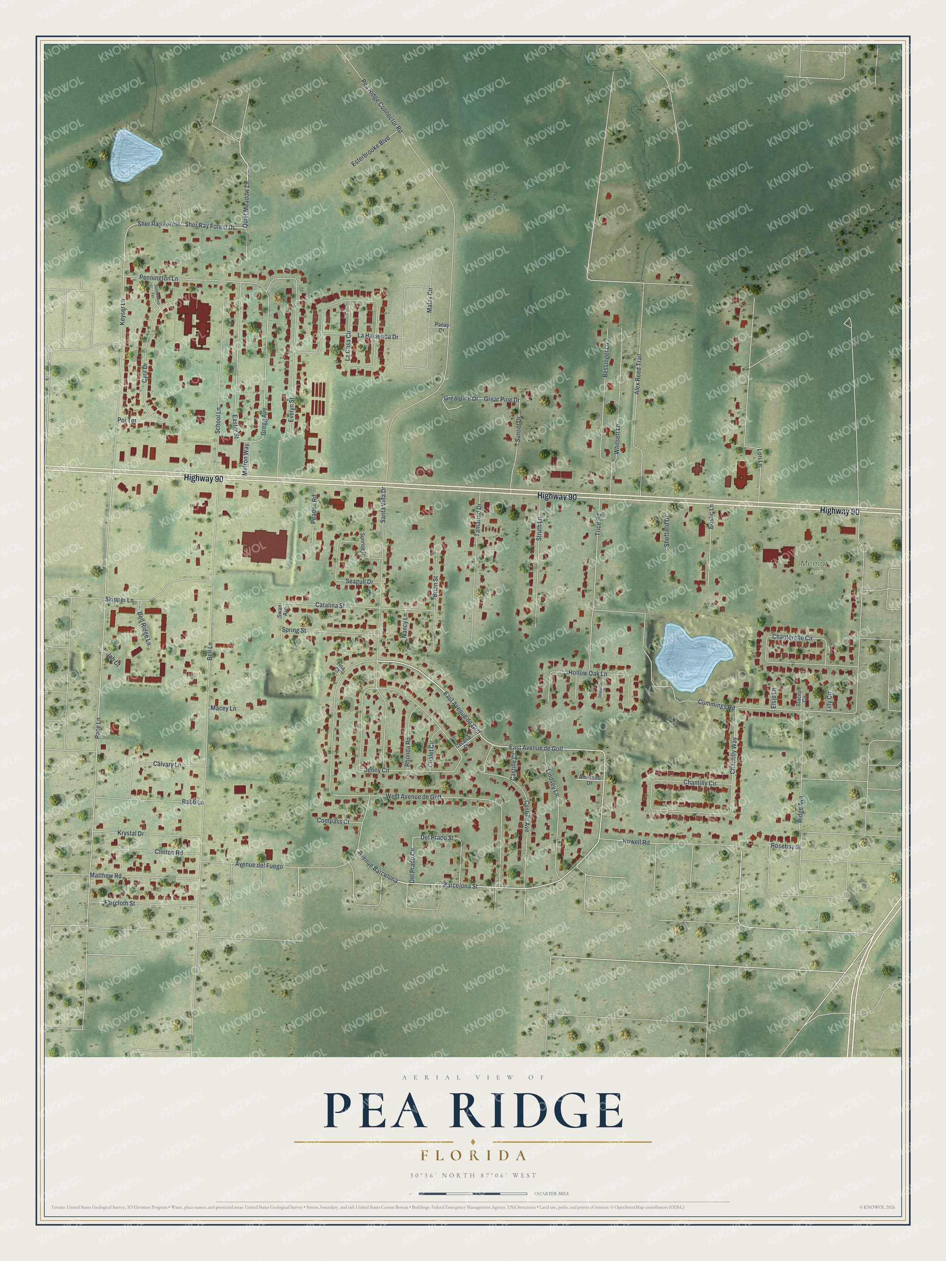
This beautifully detailed map of Pea Ridge, Florida was created in 2026 using aerial imagery combined with modern topographical, census, street and landmark data. It's a modern aerial view of Pea Ridge in Santa Rosa County, Florida, that combines modern data with a vintage aesthetic. The roads feature printed names, and if you look closely you can find your exact house accurately shown in its correct location.
Explore an aerial view of Pea Ridge, Florida
On this map you'll find Memory Park, Highway 90, East Avenue de Golf, Barcelona Street, Quiet Meadow Lane, Sher Ray Forest Drive, East Avenue de Gulf, Avenue Barcelona, Alex Reed Trail, Pace Lane, Gregg Avenue, Easter Street, and more. Each red shape is a building, so zoom in on the preview and look for yours.
Pea Ridge is a community in Santa Rosa County. The Census Bureau counted 3,787 people here in 2020. Pea Ridge sits about 3 miles northeast of Mulat, 3 miles west of Bagdad and 4 miles southwest of Milton. The map prints the town name in its title panel, with the coordinates below it.
Take a closer look at the Pea Ridge map
Names on this map
These names are printed on this map.
Places: Memory Park.
Streets and roads: Highway 90, East Avenue de Golf, Barcelona Street, Quiet Meadow Lane, Sher Ray Forest Drive, East Avenue de Gulf, Avenue Barcelona, Alex Reed Trail, Pace Lane, Gregg Avenue, Easter Street, Pea Ridge Connector Road.
More street names, A to Z
Ameretto Drive, Avenue del Fuego, Babb Lane, Bell Lane, Bell Ridge Lane, Bessinger Lane, Bostic Lane, Brian Street, Calvary Lane, Castille Avenue, Castille Court, Catalina Street, Cecelia Court, Chalet Circle, Chanterelle Circle, Chantilly Circle, Chantilly Way, Clinton Road, Compass Court, Cummings Road, Cyril Drive, Del Prado Circle, Del Prado Street, Devonshire Place, Elsie Lane, Esterbrooke Boulevard, Evelyn Street, Faircloth Street, Great Pine Drive, Greatpine Drive, Hollow Oak Lane, Jab Court, Jenny Circle, Keyser Lane, Krystal Drive, La Casa Circle, La Hacienda Drive, Lilly Circle, Lindsey Lane, Lori Lane, Macey Lane, Malay Circle, Matthew Road, Metron Way, Nancy Lane, Panay Drive, Peaden Road, Pennington Lane, Poi Terrace, Rhonda Road, Ridge Avenue, Rosebay Street, Rowell Road, Sandlewood Terrace, Santa Villa Drive, School Lane, Seagull Drive, Sheffield Drive, Sher Ray Forest, Skipper Lane, Spring Street, Stacey Circle, Struth Lane, Sunrise Drive, Sunset Drive, Swan Avenue, Tamarind Drive, Tina Court, Trice Road, West Avenue de Golf, Whitsett Lane.
See it on a wall
The Pea Ridge map as a framed print. Swipe for more.


Created by KNOWOL in 2026. The buildings are small red shapes, the roads carry their printed names, and shaded relief shows the shape of the land. The title panel reads "AERIAL VIEW OF PEA RIDGE, FLORIDA" with 30°36' NORTH 87°06' WEST.
Hang it in the hallway, the office or the cabin, or give it to someone who left Pea Ridge and still calls it home. Open the preview and look for a street you know. See sizes and frames for the Pea Ridge map.