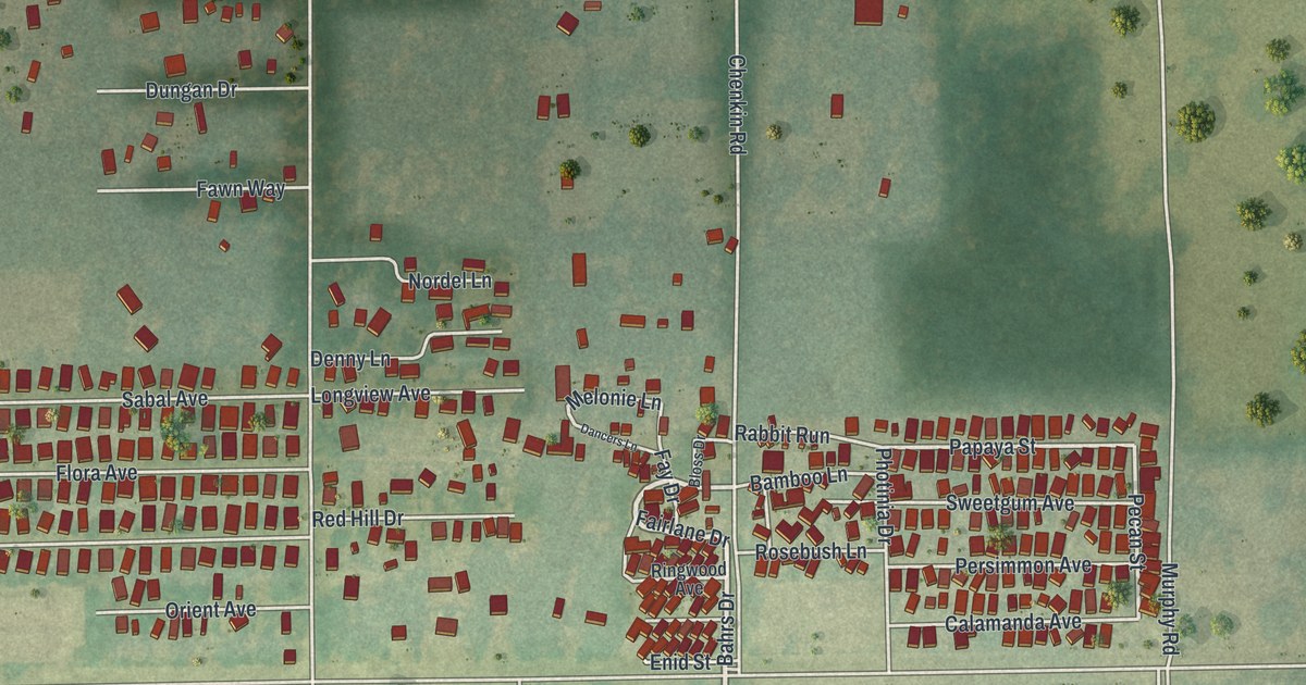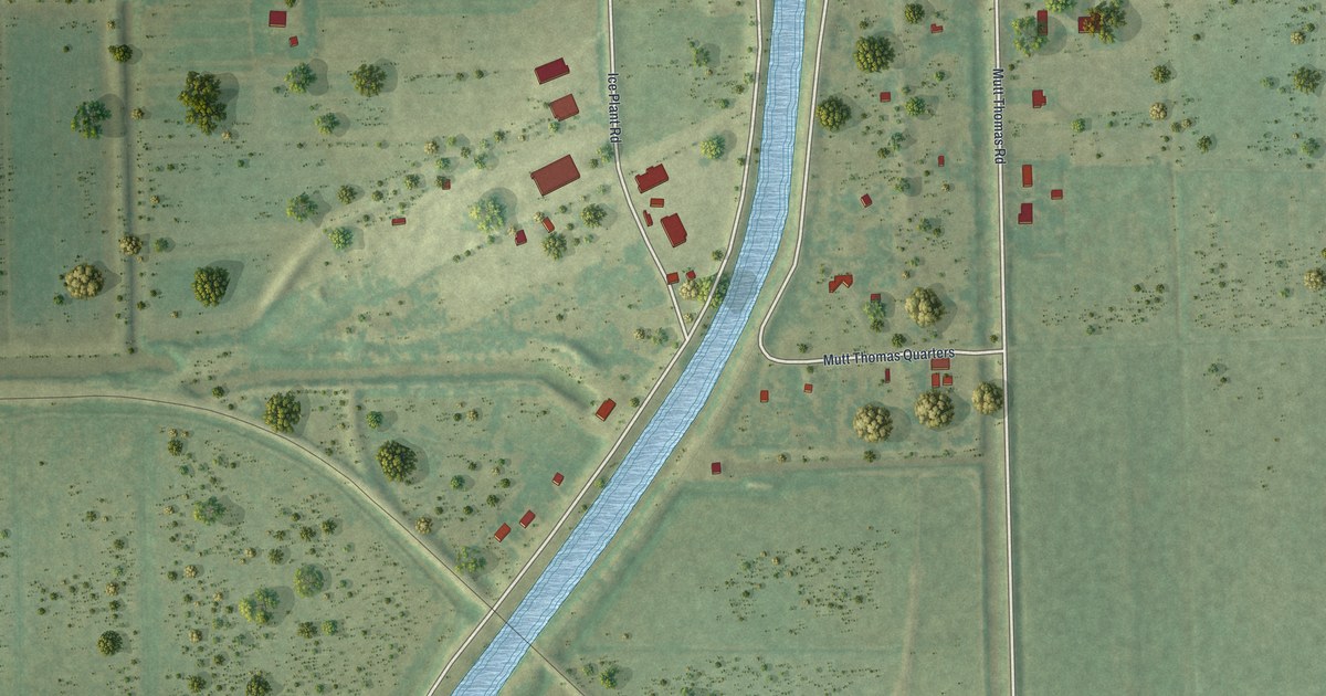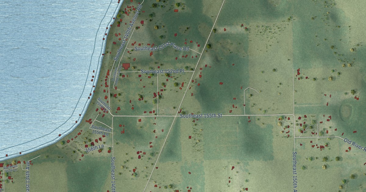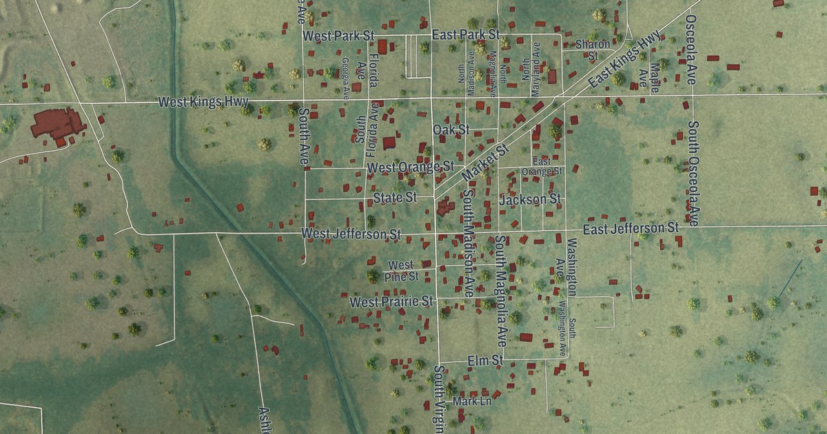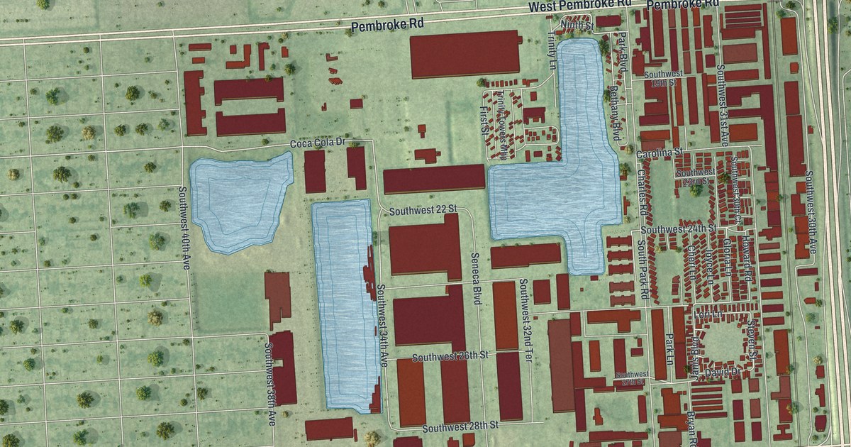
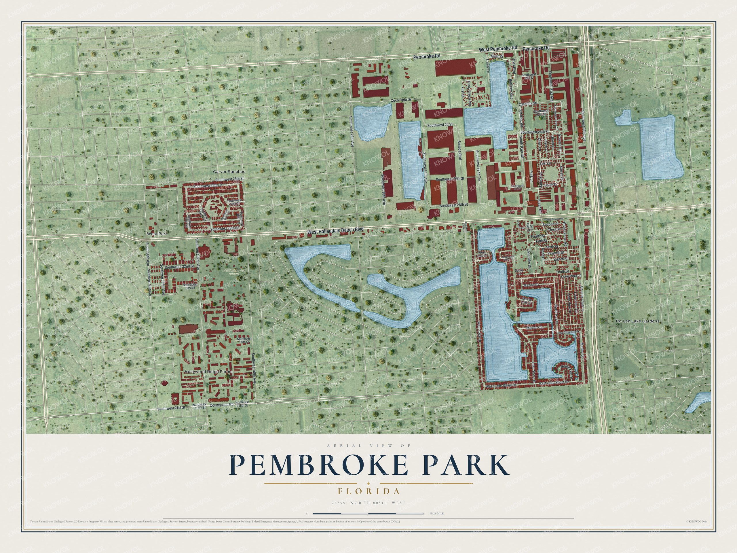
This beautifully detailed map of Pembroke Park, Florida was created in 2026 using aerial imagery combined with modern topographical, census, street and landmark data. It’s a one-of-a-kind view of Pembroke Park that combines accurate data with a vintage aesthetic. The map shows every building in its true location, many of the roads carry their names, and the shaded topographic relief shows the shape of the land.
Explore an aerial view of Pembroke Park, Florida
On the map you’ll find Pembroke Park Preserve, Carver Ranches, Hollywood Ridge Farms, Ro-Len Lake Gardens, and West Park, along with West Pembroke Road, West Hallandale Beach Boulevard, Pembroke Road, County Line Road, Janis Boulevard, David Drive, West Lake Drive, and more. If you look closely you can even find your house accurately drawn in its correct location. Zoom in on the preview to look for yours.
Take a closer look at the Pembroke Park map
Names on this map
These names are printed on this map.
Places: Pembroke Park Preserve, Carver Ranches, Hollywood Ridge Farms, Ro-Len Lake Gardens and West Park.
Streets and roads: West Pembroke Road, West Hallandale Beach Boulevard, Pembroke Road, County Line Road, Janis Boulevard, David Drive, West Lake Drive, Coca Cola Drive, Gloria Lane, Lori Lane, Southwest 34th Avenue, Southwest 25th Court.
More street names, A to Z
Bethany Boulevard, Bryan Road, Carolina Street, Charles Road, Cheri Lane, Country Club Lane, East Lake Drive, East Lake Shore Drive, Eighth Street, Fifth Street, First Street, Fourth Street, Green Acres Road, Holiday Estates Mhp, Howard Road, Joyce Lane, Key Drive North, Lake Shore Drive, La Siesta Mhp, Live Oak Drive, Lone Pine Drive, Lone Pine Lane, Lone Pine Terrace, Marine Circle, Marine Court, Marine Drive, Marine Lake Drive, Ninth Street, Northeast 215th Street, North Key Drive, North Lake Shore Drive, Northwest 215th Street, Park Boulevard, Park Lane, Pond Drive, Second Street, Seneca Boulevard, Seventh Street, Sixth Street, South 56th Avenue, South Key Drive, South Park Road, Southwest 19th Street, Southwest 22 Street, Southwest 23rd Street, Southwest 24th Street, Southwest 25th Street, Southwest 26th Court, Southwest 26th Street, Southwest 27th Street, Southwest 28th Court, Southwest 28th Street, Southwest 30th Avenue, Southwest 30th Court, Southwest 31st Avenue, Southwest 32nd Avenue, Southwest 32nd Street, Southwest 32nd Terrace, Southwest 33rd Street, Southwest 36th Court, Southwest 38th Avenue, Southwest 40th Avenue, Southwest 41st Street, Southwest 48th Avenue, Southwest 48th Terrace, Southwest 49th Avenue, Southwest 51st Avenue, Southwest 51st Terrace, Southwest 52nd Avenue, Southwest 55th Avenue, Southwest 56th Avenue, Steven Street, Sunny Lane, Tenth Street, Third Street, Trinity Lane, Trinity Towers Mhp, West Lake Court, West Lake Shore Drive.
See it on a wall
The Pembroke Park map as a framed print. Swipe for more.


This beautifully detailed map of Pembroke Park makes an attractive addition to your office, library, or den, and it can even be used to teach children the geography and history of the area. It also makes a great gift for anyone who grew up in Pembroke Park or moved away. When you’re done exploring, click here to get your copy of the Pembroke Park map.