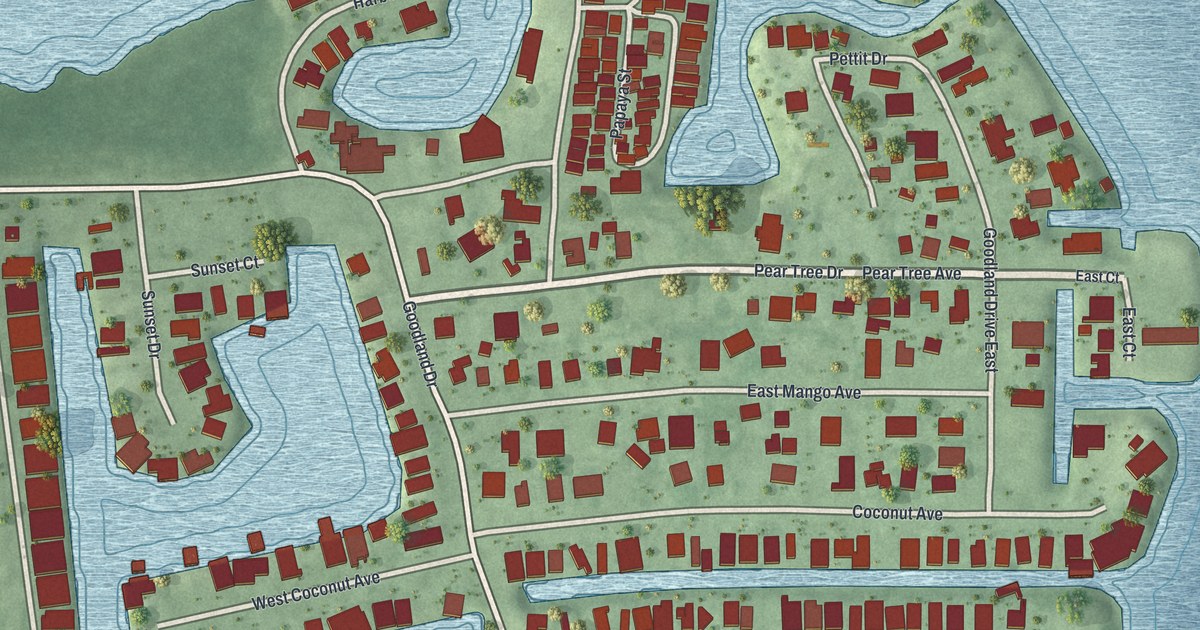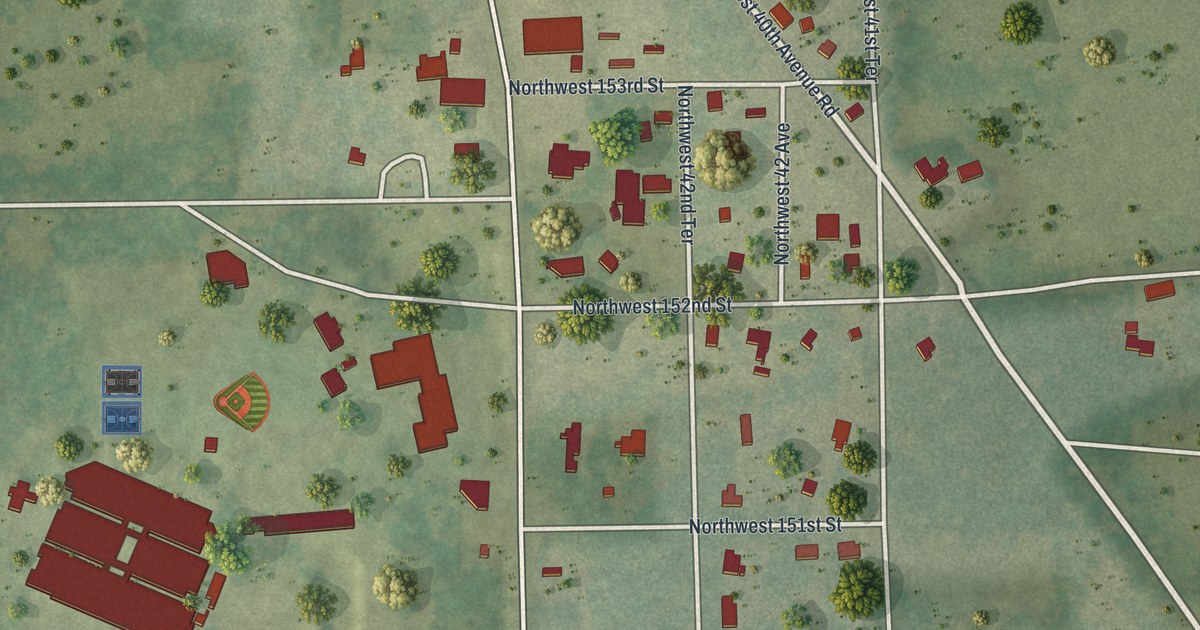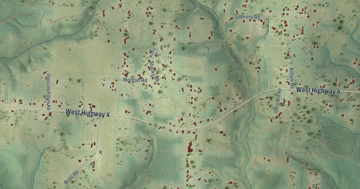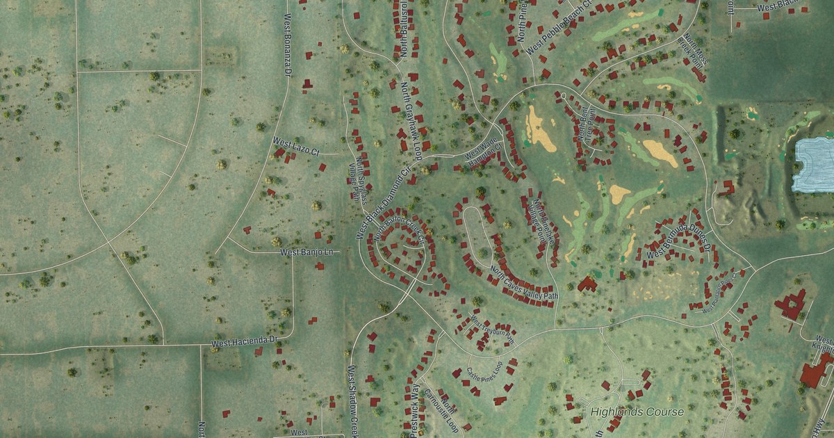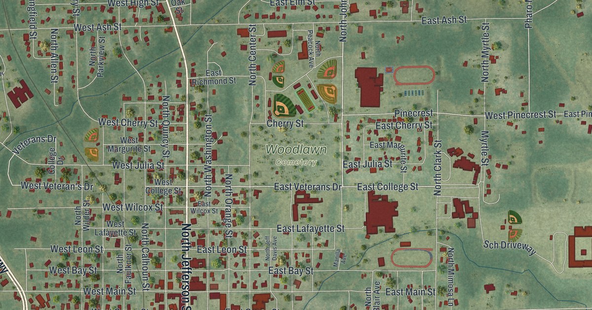
This beautifully detailed map of Perry, Florida was created in 2026 using aerial imagery combined with modern topographical, census, street and landmark data. It’s a one-of-a-kind view of Perry that combines accurate data with a vintage aesthetic. The map shows every building in its true location, many of the roads carry their names, and the shaded topographic relief shows the shape of the land.
Explore an aerial view of Perry, Florida
On the map you’ll find Woodlawn Cemetery and Rosehead Park, along with South Byron Butler Parkway, North Byron Butler Parkway, South Jefferson Street, North Jefferson Street, East Hampton Springs Avenue, West Hampton Springs Avenue, West Union Street, First Street, Wood Street, North Johnson Stripling Road, and more. If you look closely you can even find your house accurately drawn in its correct location. Zoom in on the preview to look for yours.
Did You Know?
The city was named for Madison Perry, the fourth governor of Florida. Madison Perry also served as a Confederate colonel during the Civil War. The city serves as the seat of Taylor County.
Take a closer look at the Perry map

Names on this map
These names are printed on this map.
Places: Woodlawn Cemetery and Rosehead Park.
Streets and roads: South Byron Butler Parkway, North Byron Butler Parkway, South Jefferson Street, North Jefferson Street, East Hampton Springs Avenue, West Hampton Springs Avenue, West Union Street, First Street, Wood Street, North Johnson Stripling Road, Front Street, Puckett Road.
More street names, A to Z
15th Street, Ac White Road, Alice Street, Alvarez Street, Andrew Ream Road, Arena Avenue, Baker Road, Belair Street, Bird Street, Bishop Boulevard, Blalock Street, Bowers Street, Briarwood Drive, Buffalo Drive, Buffalo Place, Bullen Lane, Cash More Street, Cedar Road, Cherry Street, Chip Mizell Road, Church Street, Clair Street, College Drive, Crestbrook Drive, Crest Drive, Crit Jones Avenue, Cypress Road, Davis Drive, Davis Street, Dodge Drive, Dogwood Way, Dona Street, Donna Drive, Dove Drive, Dupont Street, East Ash Street, East Bacon Street, East Bay Street, East Cherry Street, East Church Street, East College Street, East Dowling Street, East Drew Street, East Ellis Street, East Elm Street, East Green Street, East Hemlock Drive, East Jane Avenue, East Julia Street, East Lafayette Street, East Leon Street, East Magnolia Street, East Main Street, East Margurite Street, East Montrose Place, East Morgan Avenue, East Pace Drive, East Park Street, East Pinecrest Street, East Powell Drive, East Richmond Street, East San Pedro Avenue, East Spring Place, East Veterans Drive, East Wilcox Street, El Camino Drive, El Dorado Drive, Elizabeth Lane, El Matador Drive, El Pasado Drive, El Primeros Drive, El Rancho Drive, Fair Oaks Lane, Falling Street, Fifth Street, Folsom Place, Forest Circle, Fourth Street, Glenridge Road, Goff Street, Graham Street, Granger Drive, Grove Avenue, Grubbs Street, Howard Street, Hubba Street, Ivy Avenue, Jenkins Road, Joann Street, Jones Street, Judson Drive, Kate Drive, Kathleen Road, King Drive, Lacour Lane, Landry Drive, Landry Road, Lewis Drive, Magnolia Road, Malone Road, Manilla Avenue, Mantzanas Street, Maple Drive, Marjorie Drive, Marshall Drive, Martin Luther King Avenue, Marvin Roberts Road, Maurice Linton Road, Mays Street, Miller Drive, Miller Road, Mitchell Drive, Monroe Street, Morgan Whiddan Road, Myrtle Street, Nancy Street, Noah Road, North 14th Street, North Allen Street, North Avenue, North Beverly Street, North Blair Avenue, North Calhoun Street, North Center Street, North Cherry Street, North Cheryl Drive, North Clark Street, North Courtney Road, North Faulkner Street, North Helen Street, North Jeff Davis Avenue, North Mimosa Lane, North Myrtle Street, North Orange Street, North Parkview Street, North Peacock Avenue, North Quincy Street, North Springfield Street, North Twelfth Street, North Washington Street, North Wilder Street, Oak Street, Old Dixie Highway, Oquinn Road, Osceola Road, Pace Drive, Paige Street, Palmetto Street, Parker Place, Pate Street, Perry Apts Access Road, Pharo Morgan Road, Pine Circle Drive, Pinecrest, Pineland Street, Pine Tree Road, Plantation Road, Poppell Drive, Pruitt Drive, Quail Street, Quincy Street, Reddick Drive, Richard Bell Avenue, Ridge Road, Sandra Street, Sara Street, Sch Driveway, Schwartz Street, Second Street, Seminole Road, Shady Oak's Drive, Short Street, South Arthur Street, South Avenue, South Beverly Street, South Blair Avenue, South Bryant Street, South Campbell Street, South Carter Street, South Center Street, South Dixie Highway, South Faulkner Street, South Givens Street, South Hendry Avenue, South Maple Avenue, South Old Dixie Highway, South Orange Street, South Quincy Street, South Roberson Street, South Robin Street, South Sparrow Street, South Warner Avenue, South Washington Street, South Wilder Street, Southwood Drive, Springhill Road, State Street, Stephens Street, Sunset Lane, Susan Street, Swift Street, Taylor Road, Third Street, Thomas Demps Lane, Thomas Demps Road, Tippett Drive, Traywick Street, Twelfth Street, Veterans Drive, Walnut Street, Walter Schmidt Lane, Walter Smith Road, Warner Avenue, West Ash Street, West Bacon Avenue, West Bay Street, Westbrook Drive, West Cedar Street, West Cherry Street, West Church Street, West College Street, West Drew Street, West Dundee Avenue, West Dundee Street, West Dunwood Street, West Duval Street, West Ellis Street, West Folsom Street, West Glenn Street, West Green Street, West High Street, West Julia Street, West Lafayette Street, West Leon Street, West Magnolia Street, West Main Street, West Malloy Avenue, West Margurite Street, West Montrose Place, West Oak Street, West Pinecrest Street, West San Pedro Avenue, West Saxon Street, West Spring Place, West Summers Street, West Toms Drive, West Veteran's Drive, West Walnut Street, West Wilcox Street, West Willow Street, Westwood Drive, Williams Street, Willow Street, Wilson Street, Woodgate, Woodgate Drive, Worley Way, Young Street.
See it on a wall
The Perry map as a framed print. Swipe for more.


This beautifully detailed map of Perry makes an attractive addition to your office, library, or den, and it can even be used to teach children the geography and history of the area. It also makes a great gift for anyone with Perry roots. When you’re done exploring, click here to get your copy of the Perry map.