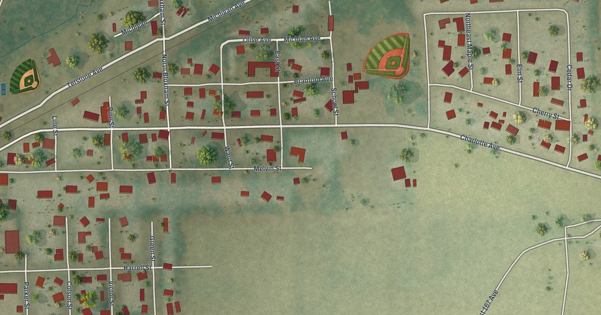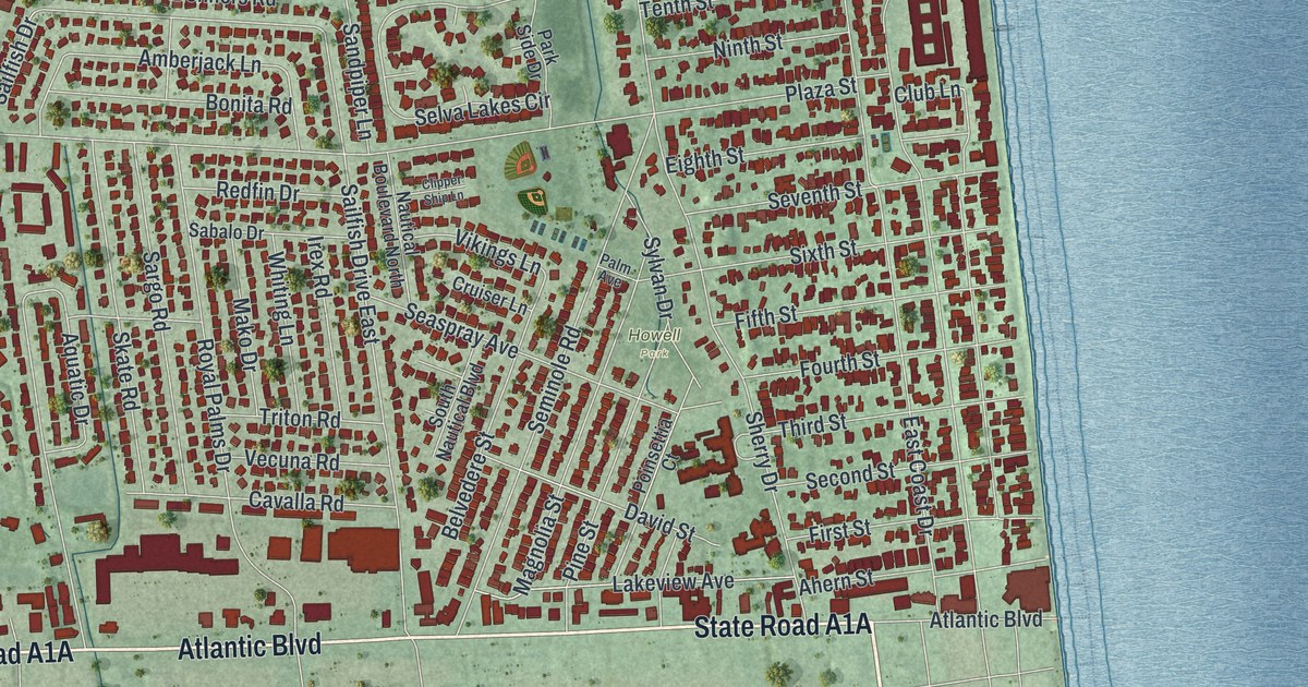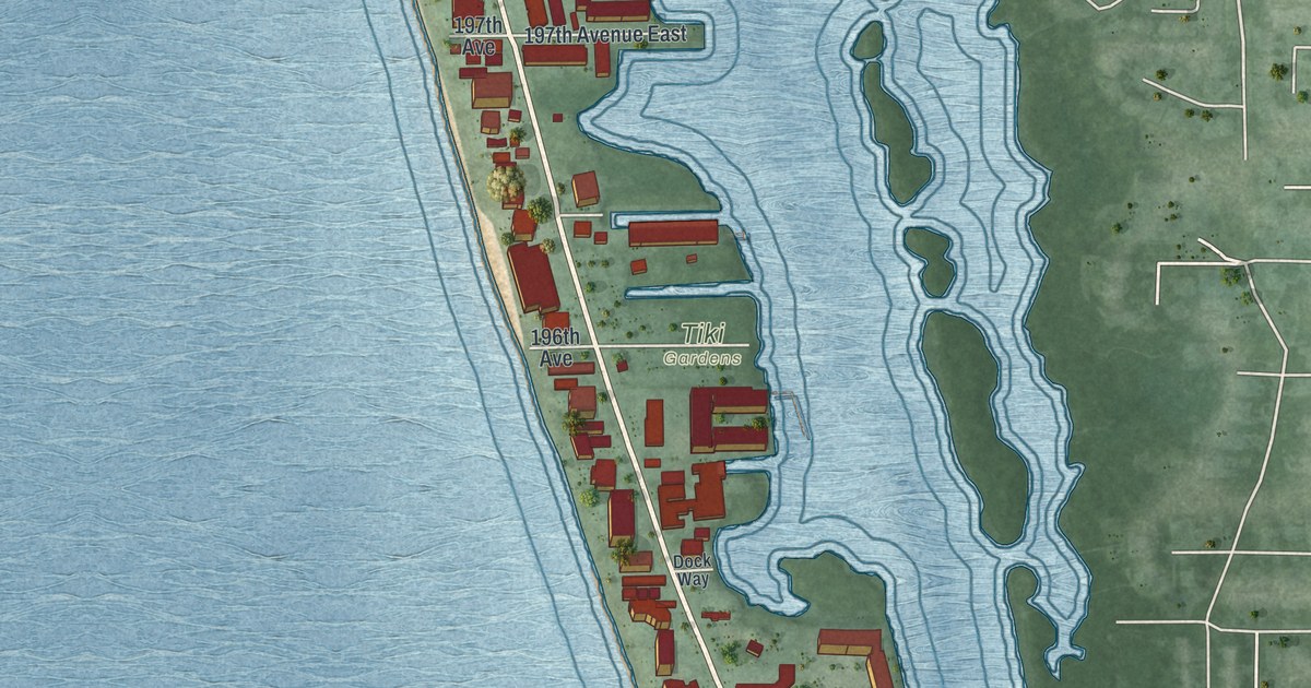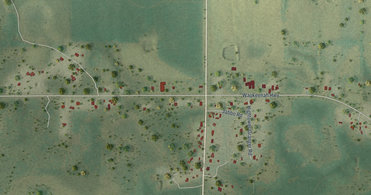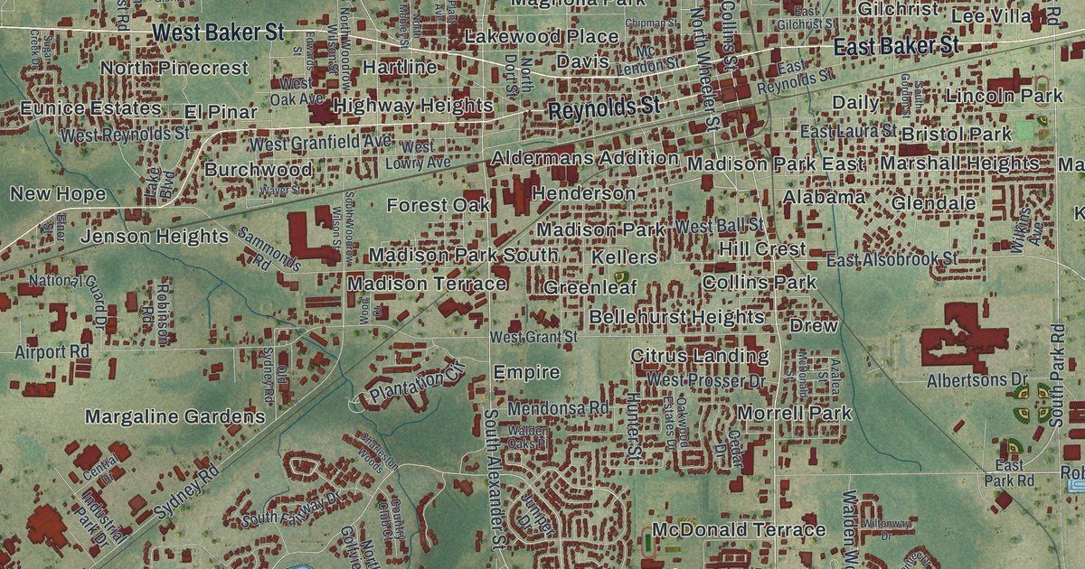
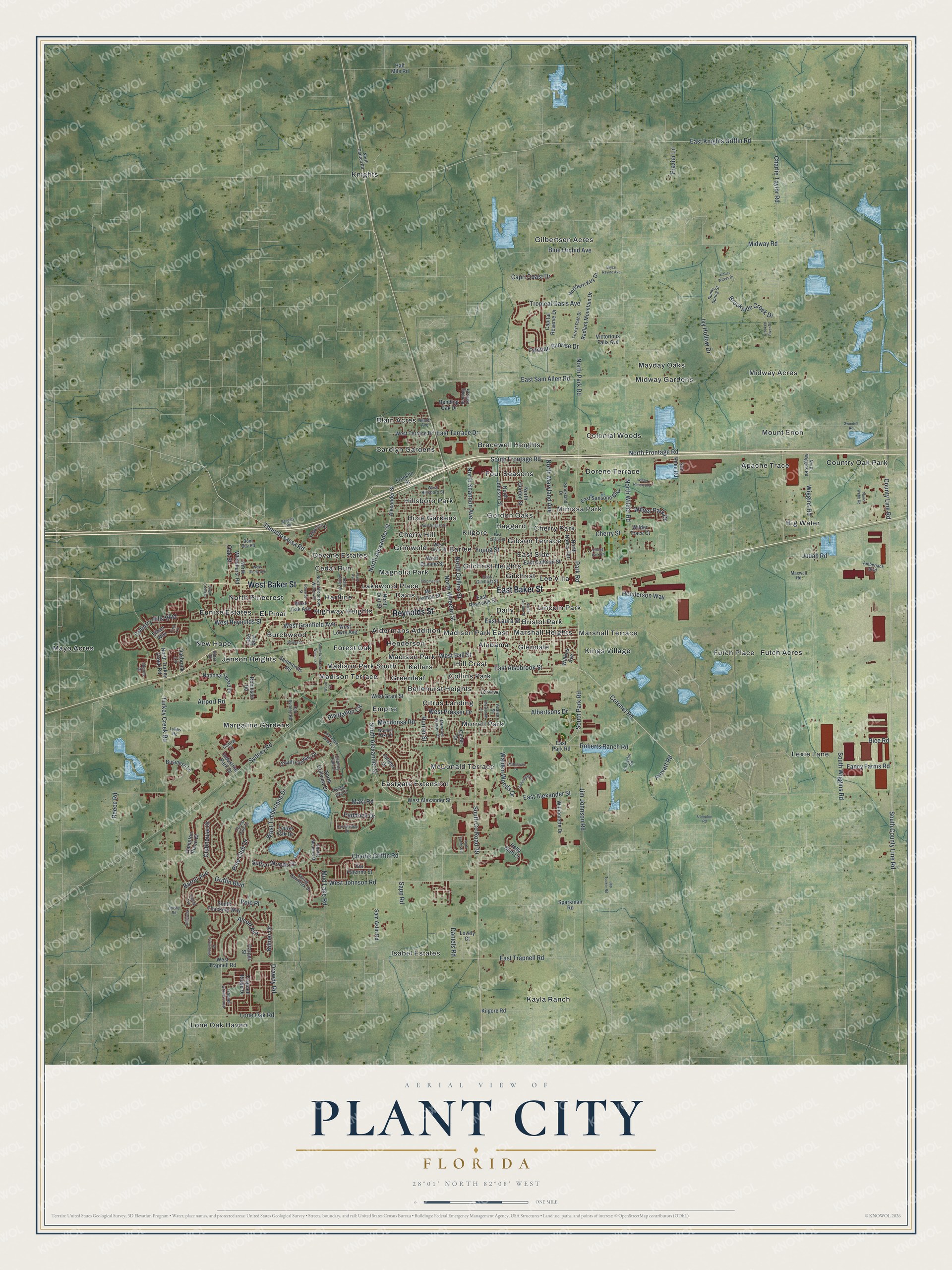
This beautifully detailed map of Plant City, Florida was created in 2026 using aerial imagery combined with modern topographical, census, street and landmark data. It’s a one-of-a-kind view of Plant City that combines accurate data with a vintage aesthetic. The map shows every building in its true location, many of the roads carry their names, and the shaded topographic relief shows the shape of the land.
Explore an aerial view of Plant City, Florida
On the map you’ll find Alabama, Aldermans Addition, Apache Trace, Barlee, Bellehurst Heights, Big Water, Blain Acres, Bracewell Heights, Bristol Park, Burchwood, Carolyn Gardens, Cedar Run, and more. If you look closely you can even find your house accurately drawn in its correct location. Zoom in on the preview to look for yours.
Did You Know?
In the mid 1800s, the settlement carried the name Ichepuckesassa, after a Native American village. It became Cork in 1860, honoring the postmaster’s Irish hometown. Its final name honors railroad builder Henry B. Plant, whose South Florida Railroad boosted trade. The town incorporated as Plant City on January 10, 1885.
Take a closer look at the Plant City map
Names on this map
These names are printed on this map.
Places: Alabama, Aldermans Addition, Apache Trace, Barlee, Bellehurst Heights, Big Water, Blain Acres, Bracewell Heights, Bristol Park, Burchwood, Carolyn Gardens, Cedar Run, Cherry Hill, Cherry Park, Citrus Landing, Collins Park, Colonial Woods, Country Oak Park, Daily, Davis, Devane Estates, Dixie Gardens, Dorene Terrace, Drew, East Side, Eastgate Extension, El Pinar, Empire, Eunice Estates, Forest Oak, Four Seasons, Futch Acres, Futch Place, Gibson Terrace, Gilbertsen Acres, Gilchrist, Gilchrist Heights, Glendale, Gordon Oaks, Greenleaf, Grimwold, Haggard, Hartline, Henderson, Highway Heights, Hill Crest, Hillsboro Park, Isabel Estates, Jenson Heights, Kayla Ranch, Kellers, Kilgore, Kings Village, Knights, Lakewood Place, Lee Villa, Lexie Lane, Lincoln Park, Lone Oak Haven, Madison Park, Madison Park East, Madison Park South, Madison Terrace, Magnolia Park, Margaline Gardens, Marshall Heights, Marshall Terrace, Mayday Oaks, Mayo Acres, McDonald Terrace, Midway Acres, Midway Gardens, Mimosa Park, Morrell Park, Mount Enon, New Hope and North Pinecrest.
Streets and roads: East Baker Street, West Baker Street, Reynolds Street, South County Road 39, Coronet Road, Park Road, South Alexander Street, North Alexander Street, South Park Road, North Collins Street, North Wheeler Street, West Timberlane Drive.
More street names, A to Z
Airport Road, Albertsons Drive, Alcott Avenue, Alexander Street, Amberjack Boulevard, Amber Waves Drive, Ashentree Drive, Azalea Street, Barret Avenue, Bending Oak Drive, Bending Oaks Drive, Bennett Road, Bloom Drive, Blue Orchid Avenue, Boot Bay Road, Brookside Creek Drive, Bryce Ravine Avenue, Business Lane, Camphor Road, Capital Reserve Drive, Capri Coast Drive, Carpel Street, Cedar Drive, Central Drive, Charleston Woods, Charlie Griffin Road, Charlie Taylor Road, Cherry Street, Chipman Street, Clubhouse Drive, Country Club Court, Country Hills Boulevard, County Line Road, Crooked River Drive, Crosby Road, Daniels Road, Drawdy Road, East Alexander Street, East Alsobrook Street, East Calhoun Street, East Cherry Street, East Gilchrist Street, East Knights Griffin Road, East Laura Street, East Park Road, East Reynolds Street, East Sam Allen Road, East Sansone Boulevard, East Terrace Drive, East Trapnell Road, Edwards Street, Elnor Street, Ethan Way, Fancy Farms Road, Forest Club Drive, Forest Path Drive, Franklin Street, Frazier Lane, Goldfinch Drive, Griffin Boulevard, Half Mile Road, Hampton Place Court, Henderson Way, Hilmer Avenue, Holly Bluff Court, Horseshoe Drive, Hunter Street, Industrial Park Drive, Ira Taylor Road, Ivy Hollow Drive, Jap Tucker Road, Jim Johnson Road, Judah Road, Juniper Drive, Kilgore Road, Kilmer Drive, Kipling Avenue, Lake Boulevard, Laurel Oak Drive, Lone Oak Road, Lovely Court, Lykes Road, Maki Road, Maxwell Road, McDonald Street, Mc Lendon Street, Mendonsa Road, Midway Road, Mud Lake Road, National Guard Drive, North Carlton Road, North Dort Street, Northern Key Drive, North Frontage Road, North Golfview Drive, North Gordon Street, North Johnson Street, North Maryland Avenue, North Mobley Street, North Nancy Terrace, North Park Road, North Shannon Avenue, North Turkey Creek Road, North Webb Road, North Whitehurst Road, North Wiggins Road, North Wilder Road, North Woodrow Wilson Street, Oakbrook Lane, Oak Street, Oakwood Estates Drive, Old Sydney Road, Paddock Drive, Park Spring Circle, Pine Club Drive, Plantation Circle, Plant Avenue, Polo Place, Prevatt Road, Radiant Mountain Drive, Reece Road, Rice Road, Roberts Ranch Road, Robinson Road, Sam Astin Road, Sammonds Road, Sapp Road, Silverstone Court, Son Keen Road, South County Line Road, South Fairway Drive, South Frontage Road, South Gordon Street, South Thackery Way, South Wiggins Road, South Woodrow Wilson Street, Sparkman Road, Spring Hammock Drive, Spring Meadow Drive, Steinbeck Place, Strickland Drive, Sugar Creek Drive, Sunny Spring Street, Sutton Woods Drive, Sweet Bay Court, Swindell Road, Sydney Road, Tahitian Sunrise Drive, Thonotosassa Road, Tina Lane, Trapnell Grove Loop, Trapnell Ridge Drive, Tropical Oasis Avenue, Turkey Creek Road, Via Palermo Street, Victorious Falls Avenue, Village Park Road, Walden Oaks Place, Walden Woods Drive, Waver Street, West Alexander Street, West Ball Street, West Devane Street, West English Street, West Gloria Avenue, West Granfield Avenue, West Grant Street, West Hillsboro Street, West Johnson Road, West Lowry Avenue, West Oak Avenue, West Prosser Drive, West Reynolds Street, West Terrace Drive, West Tever Street, West Trapnell Road, Wiggins Road, Wilder Park Drive, Wilder Reserve Drive, Wilder Trace Court, Wilkins Avenue, Williamette Drive, Wiltonway Drive, Wood Court, Young Street.
See it on a wall
The Plant City map as a framed print. Swipe for more.


This beautifully detailed map of Plant City makes an attractive addition to your office, library, or den, and it can even be used to teach children the geography and history of the area. It also makes a great gift for anyone who grew up in Plant City or moved away. When you’re done exploring, click here to get your copy of the Plant City map.