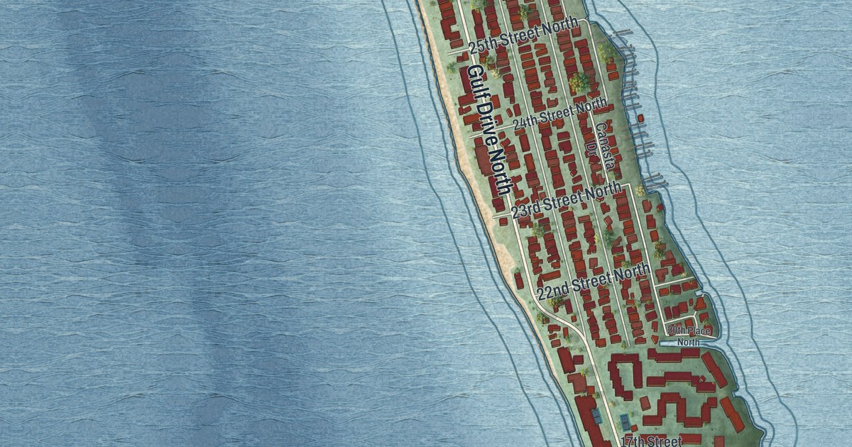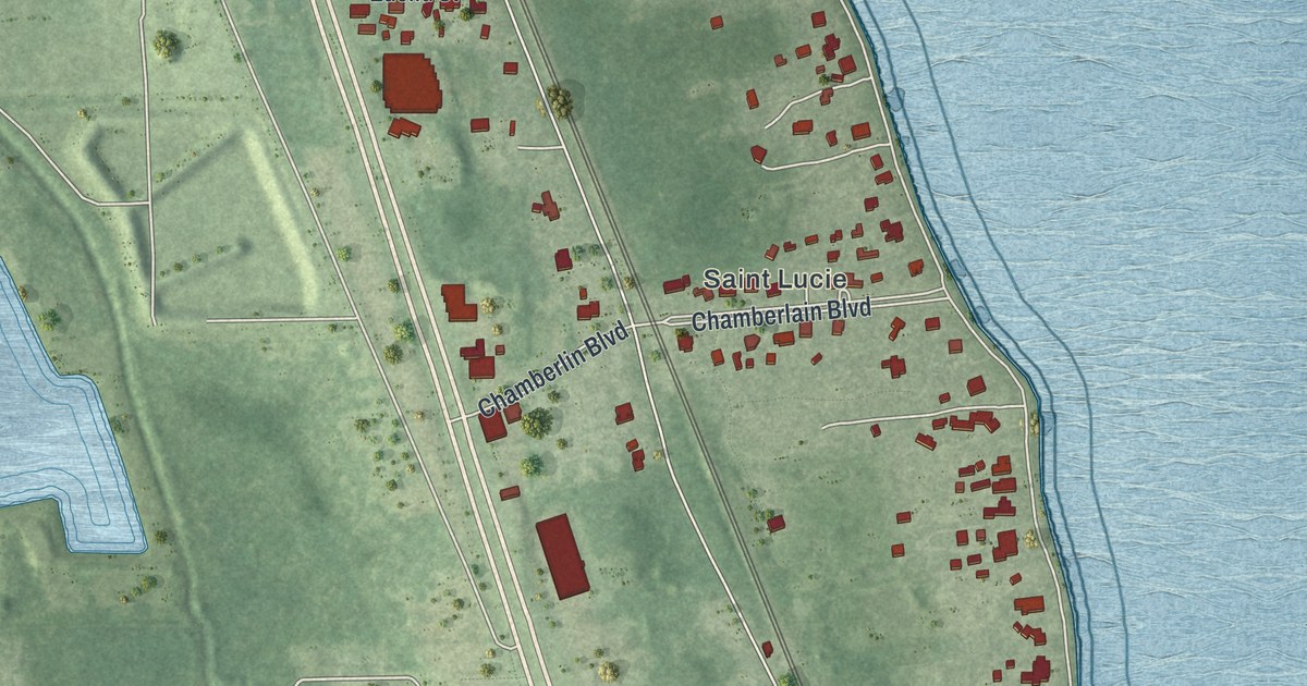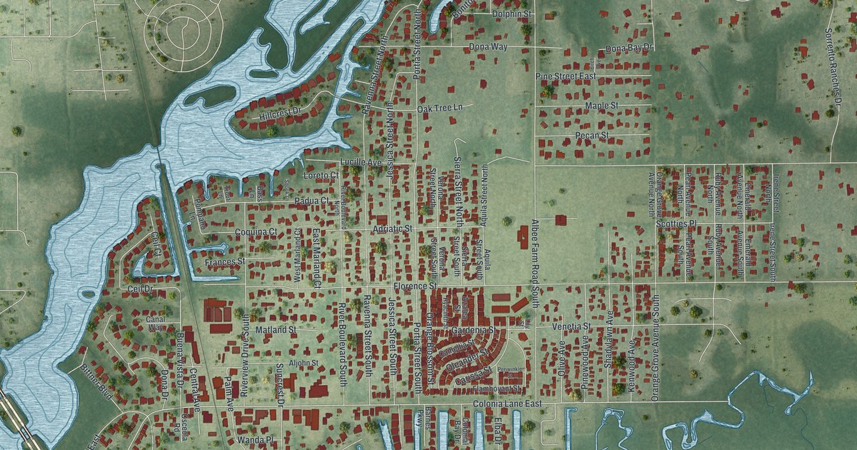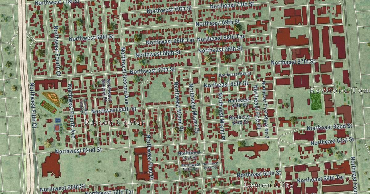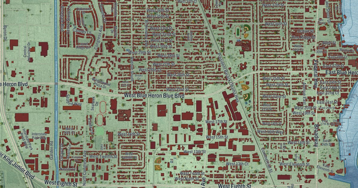
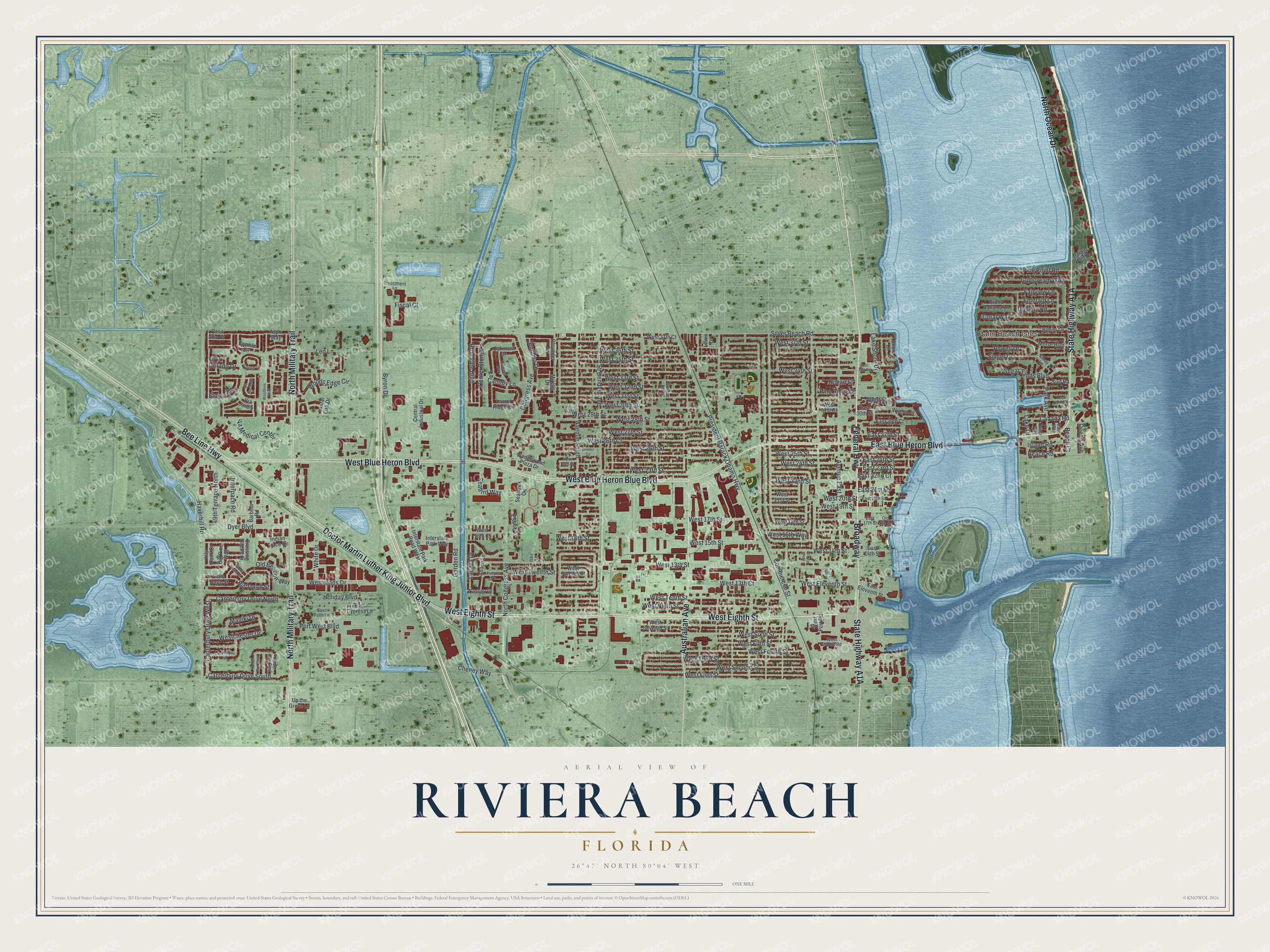
This beautifully detailed map of Riviera Beach, Florida was created in 2026 using aerial imagery combined with modern topographical, census, street and landmark data. It’s a one-of-a-kind view of Riviera Beach that combines accurate data with a vintage aesthetic. The map shows every building in its true location, many of the roads carry their names, and the shaded topographic relief shows the shape of the land.
Explore an aerial view of Riviera Beach, Florida
On the map you’ll find Palm Beach Isles and Broadway, along with Doctor Martin Luther King Junior Boulevard, West Eighth Street, State Highway A1A, Federal Highway, North Military Trail, West Blue Heron Boulevard, Bee Line Highway, West Blue Heron Blue Boulevard, North Ocean Drive, East Blue Heron Boulevard, and more. If you look closely you can even find your house accurately drawn in its correct location. Zoom in on the preview to look for yours.
Did You Know?
The settlement was first called Oak Lawn. In 1893 it was renamed Riviera, after the French Riviera. It became the Town of Riviera in 1922, and the word Beach was added in 1941. For decades it was nicknamed Conchtown for its many Bahamian residents.
Take a closer look at the Riviera Beach map
Names on this map
These names are printed on this map.
Places: Palm Beach Isles.
Streets and roads: Doctor Martin Luther King Junior Boulevard, West Eighth Street, Federal Highway, North Military Trail, West Blue Heron Boulevard, Bee Line Highway, West Blue Heron Blue Boulevard, North Ocean Drive, Broadway, East Blue Heron Boulevard, Australian Avenue, West 13th Street.
More street names, A to Z
49th Terrace North, Abaco Lane, Allen Street, Aspri Way, Avenue East, Avenue North, Avenue South, Barbour Road, Beach Court, Beach Road, Big Pine Way, Big Torch Street, Bimini Lane, Bonisle Circle, Brooks Circle, Byron Drive, Cabana Road, Canopy Lane, Canterbury Drive North, Canterbury Drive South, Canterbury Drive West, Casa Rio Court, Center Stone Lane, Central Industrial Drive, Cheney Way, Commercial Street, Congress Avenue, Coral Way, Crossing Rocks Court, Dakota Place, Dolphin Road, Dorado Drive, Dyer Boulevard, East 14th Street, East 17th Street, East 20th Street, East 21st Street, East 22nd Court, East 23rd Street, East 24th Street, East 27th Street, East 29th Court, East 30th Street, East 34th Street, East Cypress Lane, East Eleventh Street, East Palm Lane, East Way, Elpine Way, Emerald Lane, Essex Lane, Fairview Lane, Fiscal Court, Freeport Drive, Galleon Cv, Garden Road, Grand Bahama Lane, Gulfstream Way, Harbor Point Drive, Haverhill Road, Holiday Boulevard, Indian Trace Circle, Interpace Road, Interstate Park Road West, Interstate Park Way, Investment Lane, Island Road, Jake Lane, Lake Drive, Lake Shore Drive, Laurel Oak Drive, Laurel Ridge Circle, Leo Lane, Lewis Drive, Lily Bank Court, Little Torch Street, Lochmore Road, Lucaya Drive, Maniki Drive, Mirella Drive, Morse Boulevard, Nassau Drive, North 25th Court, North Congress Avenue, Oakhurst Way, Oakmont Drive, Ocean Avenue, Ocean Street, Old Beacon Way, Old Slip Road, Oleander Terrace, Park Avenue, Pine Point Road, Pine Ridge Drive, Port West Boulevard, Powell Drive, President Barack Obama Highway, Rj Hendley Avenue, Rocks Point Drive, Rosegate Boulevard, Sandy Lane, Seabird Way, Seahawk Circle, Shore Drive, Silver Beach Road, Singer Drive, Sonoma Drive, Sugar Sands Boulevard, Surf Road, Timber Run East, Timber Run West, Up the Grove Lane, Va Medical Center, Via Hacienda, Via Jardin, Wedgewood Plaza Drive, West 13th Court, West 14th Street, West 15th Street, West 16th Court, West 16th Street, West 16th Way, West 17th Street, West 18th Street, West 19th Street, West 20th Street, West 21st Street, West 22nd Street, West 23rd Street, West 24th Street, West 25th Street, West 26th Court, West 26th Street, West 27th Street, West 28th Street, West 29th Street, West 30th Street, West 31st Court, West 31st Street, West 32nd Street, West 33rd Street, West 34th Street, West 35th Street, West 36th Street, West 37th Court, West 37th Street, Westchester Drive, West Eleventh Street, West Fifth Street, West First Street, West Fourth Street, West Middle Road, West Ninth Street, West Park Drive, West Port Road, Westroads Drive, West Second Street, West Seventh Street, West Sixth Street, West Tenth Street, West Third Street, West Twelfth Court, West Twelfth Street, West Way, White Drive, Wilma Circle, Woodbine Way, Woods Edge Circle, Wright Street, Yacht Harbor Drive.
See it on a wall
The Riviera Beach map as a framed print. Swipe for more.


This beautifully detailed map of Riviera Beach makes an attractive addition to your office, library, or den, and it can even be used to teach children the geography and history of the area. It also makes a great gift for someone who left Riviera Beach and still calls it home. When you’re done exploring, click here to get your copy of the Riviera Beach map.