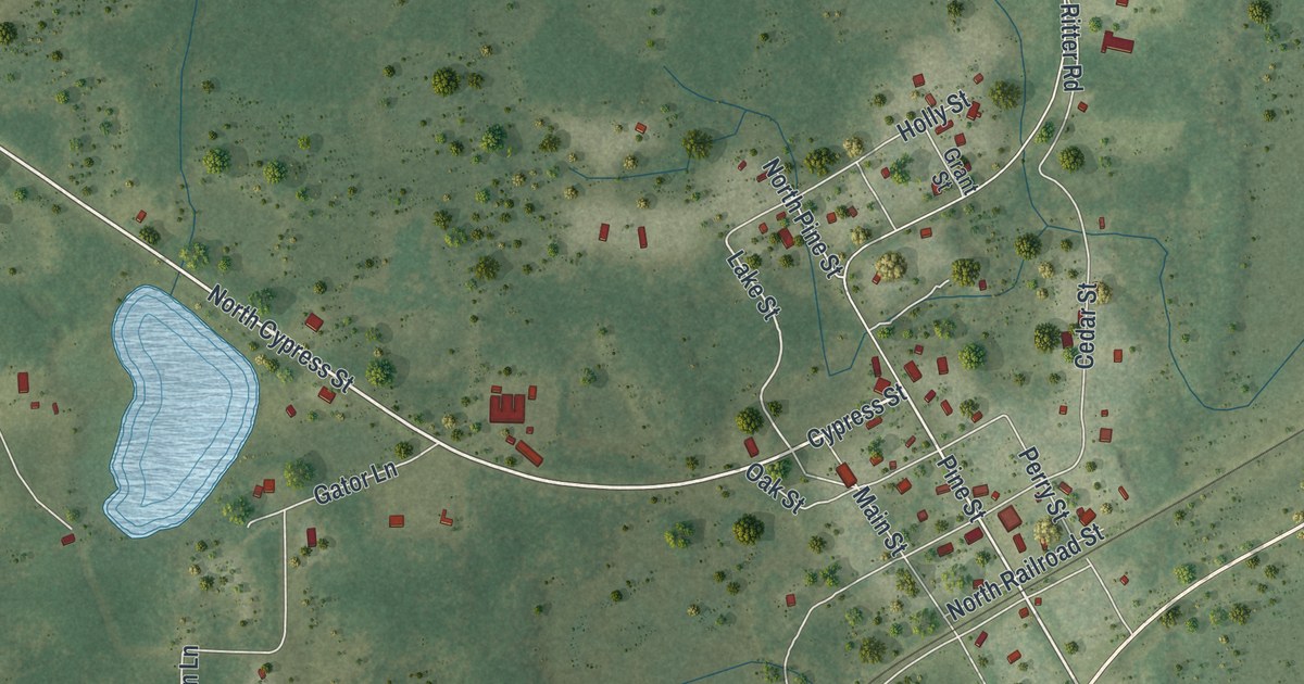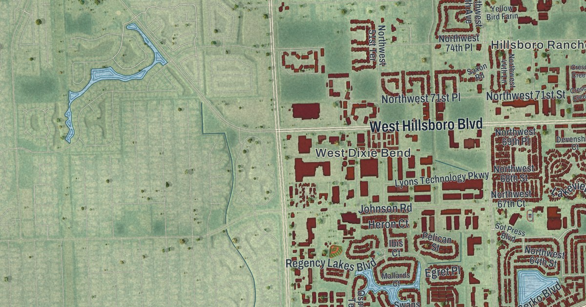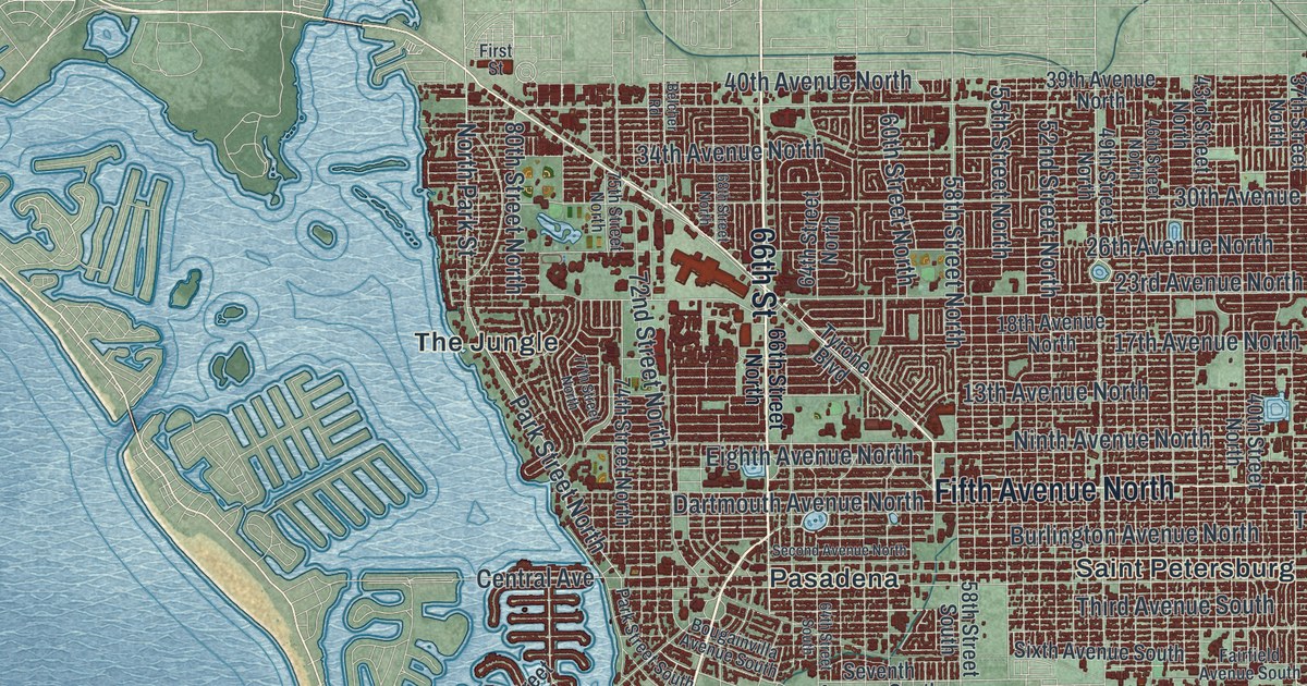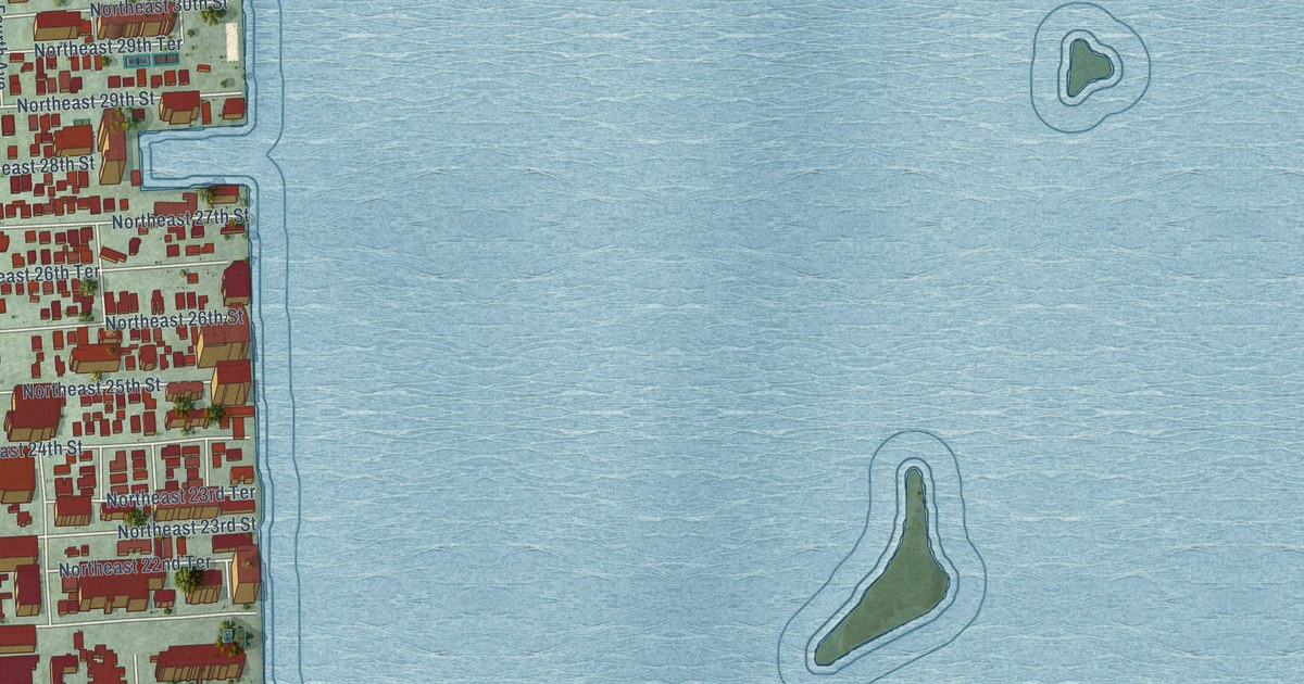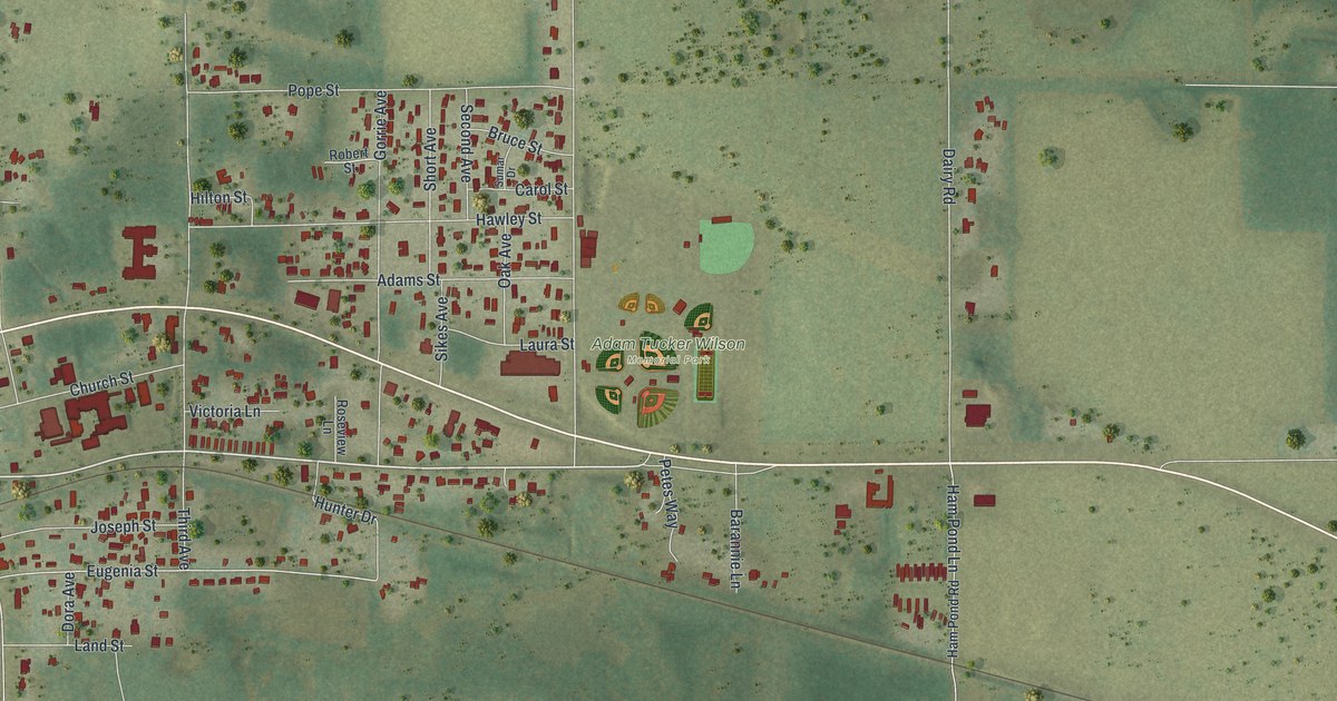
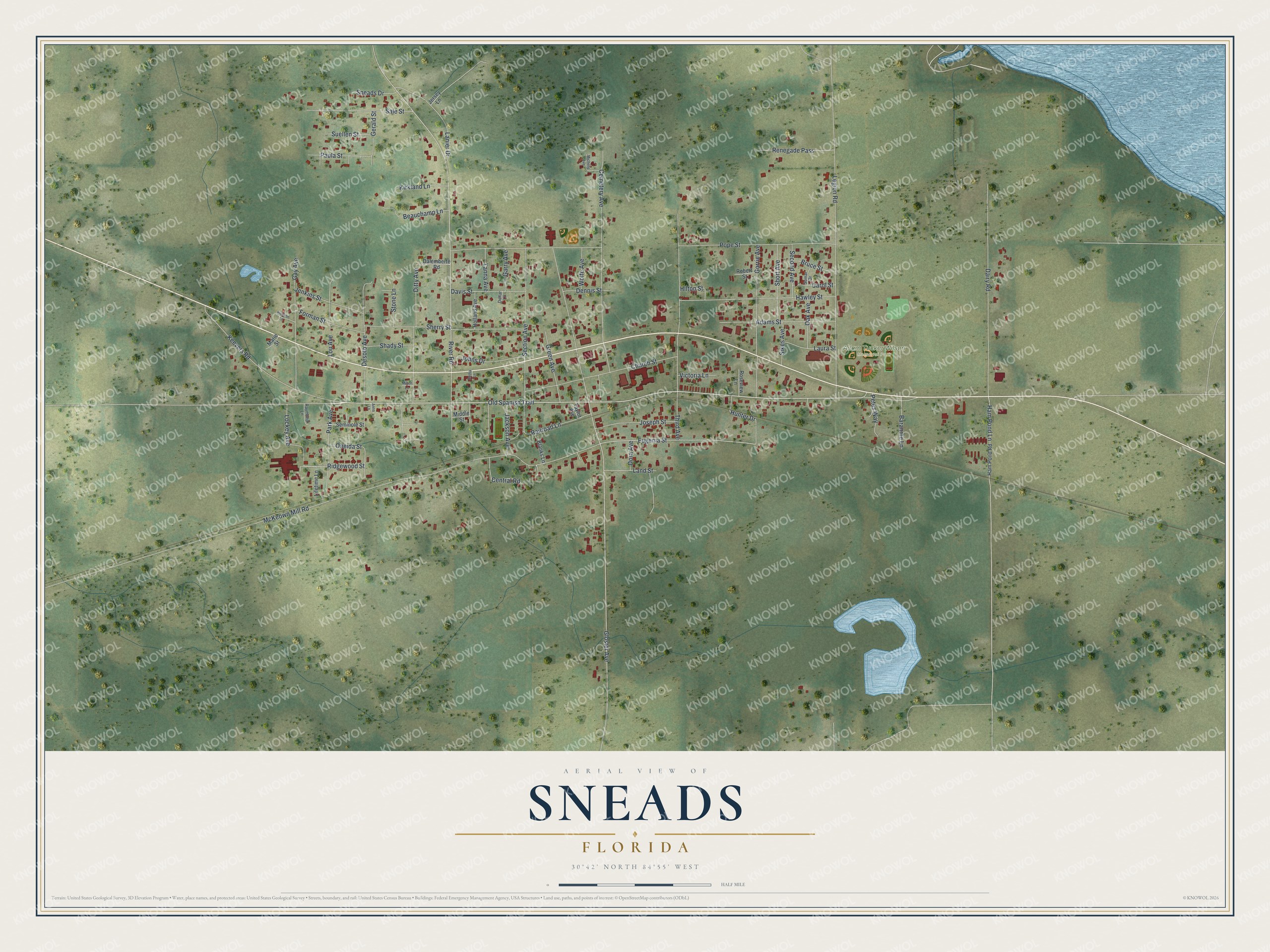
This beautifully detailed map of Sneads, Florida was created in 2026 using aerial imagery combined with modern topographical, census, street and landmark data. It’s a one-of-a-kind view of Sneads that combines accurate data with a vintage aesthetic. The map shows every building in its true location, many of the roads carry their names, and the shaded topographic relief shows the shape of the land.
Explore an aerial view of Sneads, Florida
On the map you’ll find Adam Tucker Wilson Memorial Park, along with Old Spanish Trail, Ridgewood Street, Eugenia Street, Gloster Avenue, McKeown Mill Road, River Road, Pope Street, Legion Road, Third Avenue, Cemetery Avenue, Section Avenue, and more. If you look closely you can even find your house accurately drawn in its correct location. Zoom in on the preview to look for yours.
Take a closer look at the Sneads map
Names on this map
These names are printed on this map.
Places: Adam Tucker Wilson Memorial Park.
Streets and roads: Old Spanish Trail, Ridgewood Street, Eugenia Street, Gloster Avenue, McKeown Mill Road, River Road, Pope Street, Legion Road, Third Avenue, Cemetery Avenue, Section Avenue, Desoto Avenue.
More street names, A to Z
Adams Street, Anna Lane, Barannie Lane, Beauchamp Lane, Blanks Lane, Bruce Street, Carol Street, Central Road, Church Street, Dairy Road, Dalemberte Road, Davis Street, Dennis Street, Ditty Avenue, Dollar Lane, Dora Avenue, Forman Street, Garry Avenue, Gay Avenue, Gerald Street, Gorrie Avenue, Green Avenue, Ham Pond Lane, Ham Pond Road, Hawley Street, Hermon Lane, Hilton Street, Holland Avenue, Hunter Drive, Jackson Avenue, Jenkins Street, Jersey Lane, Johns Drive, Joseph Street, Keevers Road, Kirkland Lane, Land Street, Lanier Drive, Laura Street, Lifetime Lane, Lockey Avenue, Lou Avenue, Marie Street, Michelle Avenue, Middle Street, Milton Lane, Oak Avenue, Oneida Street, Park Avenue, Paula Street, Petes Way, Railroad Lane, Raymond Lane, Renegade Pass, Retha Lane, Robert Street, Roseview Lane, Sale Street, Second Avenue, Seminole Street, Shady Street, Sherry Street, Short Avenue, Sikes Avenue, Sneads Drive, Stone Lane, Suellen Street, Sumar Drive, Tanna Avenue, Taylor Avenue, Victoria Lane, Wolfe Avenue.
See it on a wall
The Sneads map as a framed print. Swipe for more.


This beautifully detailed map of Sneads makes an attractive addition to your office, library, or den, and it can even be used to teach children the geography and history of the area. It also makes a great gift for anyone who grew up in Sneads or moved away. When you’re done exploring, click here to get your copy of the Sneads map.