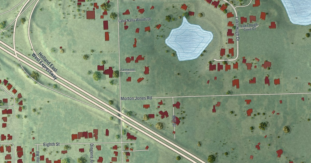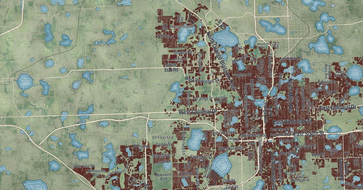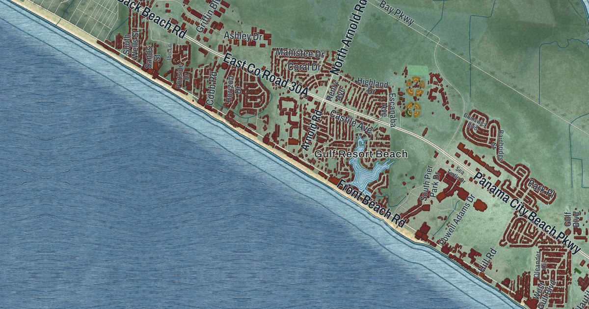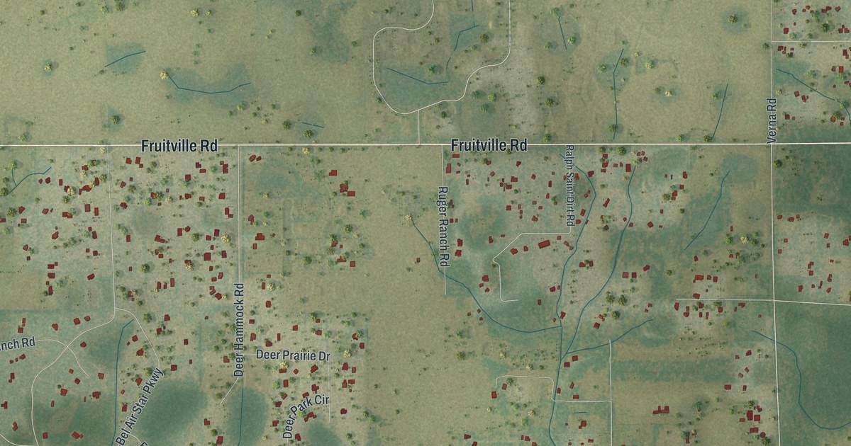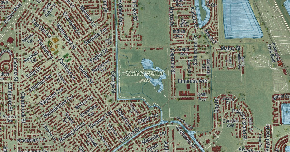
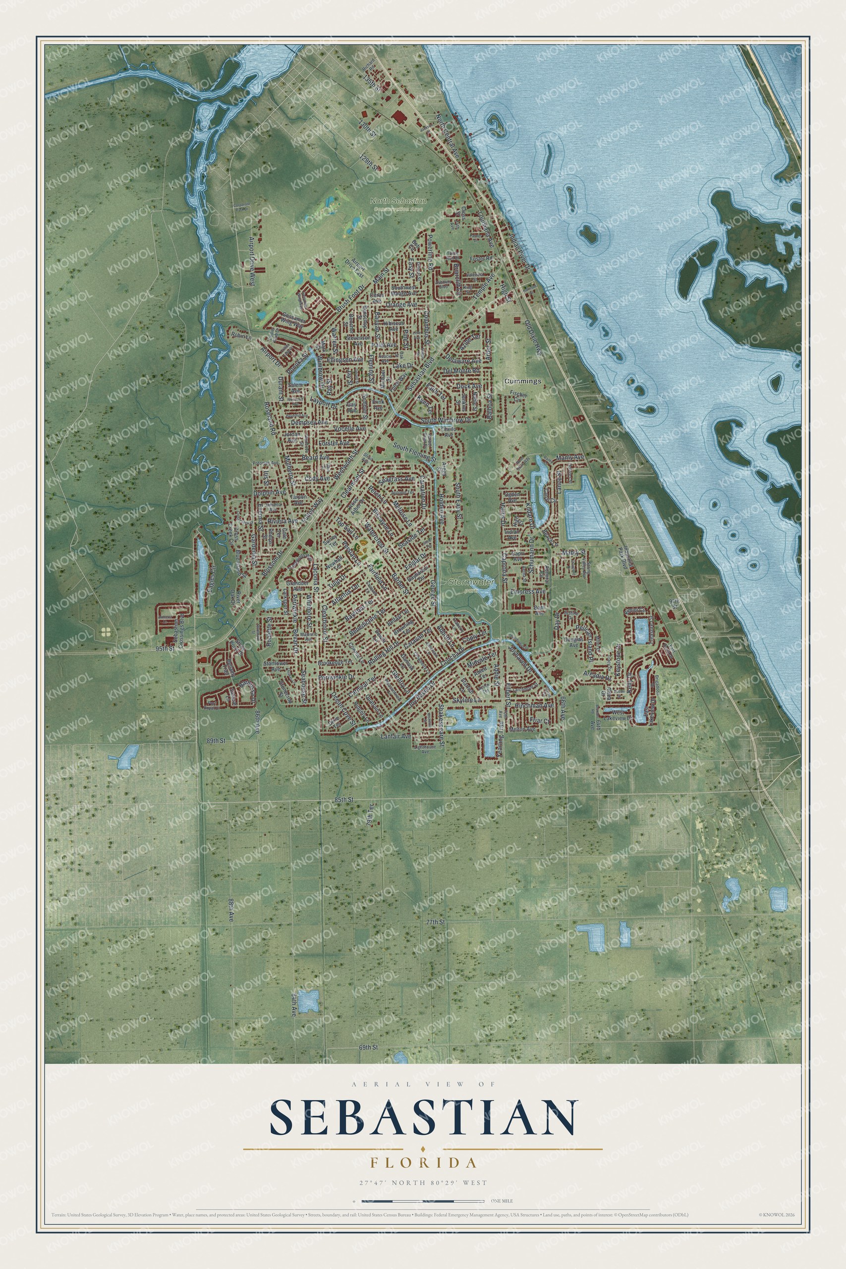
This beautifully detailed map of Sebastian, Florida was created in 2026 using aerial imagery combined with modern topographical, census, street and landmark data. It’s a one-of-a-kind view of Sebastian that combines accurate data with a vintage aesthetic. The map shows every building in its true location, many of the roads carry their names, and the shaded topographic relief shows the shape of the land.
Explore an aerial view of Sebastian, Florida
On the map you’ll find North Sebastian Conservation Area, Stormwater park, and Cummings, along with Sebastian Boulevard, Eagles Circle, Keystone Drive, Roseland Road, Schumann Drive, Gardenia Street, South Easy Street, 85th Street, Laconia Street, and more. If you look closely you can even find your house accurately drawn in its correct location. Zoom in on the preview to look for yours.
Did You Know?
In 1715 a storm sank a Spanish treasure fleet off this coast. Much of the treasure has never been found. Treasure hunter Mel Fisher recovered a large share, and in 1992 he opened a permanent museum in Sebastian.
Take a closer look at the Sebastian map
Names on this map
These names are printed on this map.
Places: North Sebastian Conservation Area, Stormwater Park and Cummings.
Streets and roads: Sebastian Boulevard, Eagles Circle, Keystone Drive, Roseland Road, Schumann Drive, Gardenia Street, South Easy Street, 85th Street, Laconia Street, 129th Street, Concha Drive, Blossom Drive.
More street names, A to Z
64th Avenue, 66th Avenue, 69th Street, 70th Avenue, 74th Avenue, 77th Street, 79th Terrace, 84th Avenue, 86th Avenue, 88th Avenue, 89th Street, 95th Street, 97th Street, 130th Street, 135th Street, Abbott Lane, Ablett Terrace, Acacia Avenue, Acorn Terrace, Addie Street, Admiral Circle, Aetna Street, Airport Drive, Airport Drive East, Airport Drive West, Aldea Drive, Amherst Lane, Arbor Street, Arcadia Drive, Arega Street, Ashbury Boulevard, Atlantus Terrace, Autumn Terrace, Azine Terrace, Bailey Drive, Balboa Street, Banyan Street, Barber Street, Barbossa Drive, Bayfront Terrace, Bayharbor Terrace, Beach Lane, Beard Avenue, Belfast Terrace, Bellamy Trail, Benchor Street, Benedictine Terrace, Benschop Street, Bevan Drive, Bimini Circle, Biscayne Lane, Blue Island Street, Bob Circle, Briarcliff Circle, Brigadoon Drive, Brookedge Terrace, Browning Terrace, Broxton Road, Brush Foot Drive, Cain Street, Canal Circle, Capri Avenue, Caprona Street, Caravan Terrace, Carnation Drive, Carnival Terrace, Chello Avenue, Citrus Avenue, Clearbrook Street, Clearmont Street, Cody Avenue, Cole Terrace, Collier Club Drive, Collier Lake Circle, Columbus Street, Coply Terrace, Corporate Park Drive, Cownie Lane, Crawford Drive, Croquet Lane, Cross Creek Circle, Cross Creek Drive, Cross Street, Crowberry Lane, Curtis Circle, Dahl Avenue, Damask Lane, Day Drive, Delaware Avenue, Delmar Street, Del Monte Road, Dempsey Avenue, Dewitt Lane, Dixie Terrace, Dock Avenue, Dolores Street, Dolphin Avenue, Douglas Avenue, Duban Street, Durant Street, East Derry Drive, East Lakeview Drive, Easy Street, Ellingsen Avenue, Emerson Lane, Empress Avenue, Englar Drive, Evernia Street, Fairfield Lane, Faith Terrace, Filbert Street, Fischer Circle, Fleming Street, Floraland Avenue, Forster Avenue, Foster Road, Friar Court, Frink Avenue, Fulton Way, Futch Way, Gay Avenue, George Street, Gerald Street, Glencove Street, Glentry Lane, Gossamer Wing Way, Gossomer Wing Way, Granduer Avenue, Harbor Point Drive, Harris Drive, Harrison Street, Haverhill Avenue, Hibiscus Avenue, High Court, High Street, Hinchman Avenue, Holden Avenue, Indian Avenue, Indian River Drive, Industrial Park Boulevard, Iris Street, Jackson Street, Jamaica Avenue, Jay Street, Jenkins Street, Jettie Terrace, Jordan Avenue, Joy Haven Drive, Joyhaven Drive, Justine Drive, Keen Terrace, Kelly Drive, Kildare Drive, King Street, Lake Drive, Lance Street, Lanfair Avenue, Larchmont Street, Larkspur Street, Layport Drive, Lighthouse Avenue, Lime Avenue, Louisiana Avenue, Mabry Street, Main Street, Majestic Avenue, Manly Avenue, Mark Street, Melrose Lane, Melton Avenue, Michael Street, Midvale Terrace, Miller Drive, Mistletoe Street, Mulberry Street, Newhall Terrace, Noble Street, North Central Avenue, Oak Street, Ocean Cove Street, Ogden Avenue, Old Dixie Highway, Orange Avenue, Palm Avenue, Palmer Drive, Pelican Island Place, Perch Lane, Periwinkle, Periwinkle Drive, Persian Lane, Phelps Street, Pine Street, Pleasantview Lane, Ponoka Street, Port Royal Court, Potomac Avenue, Powerline Road, Quaker Lane, Quatrain Lane, Ray Street, Richard Road, Ridgely Lane, River Oak Drive, Riviera Avenue, Robin Lane, Rolling Hill Drive, Rose Arbor Drive, Roulette Street, Salazar Lane, Salem Avenue, Seagrass Avenue, Seahouse Street, Seaside Terrace, Sebastian Crossings Boulevard, Sembler Street, Shakespeare Street, Skyline Lane, South Fleming Street, Southwest Mango Avenue, South Wimbrow Drive, Spring Valley Avenue, Starboard Street, Starfish Lane, Starflower Avenue, Stevenson Avenue, Stonecrop Street, Stony Point Drive, Strait Avenue, Surrey Terrace, Tarpon Avenue, Teaberry Lane, Temple Avenue, Thunderbird Drive, Toledo Street, Top Sail Lane, Tracy Drive, Tradewinds Way, Treasure Circle, Tulip Drive, Turtle Run Drive, Valencia Street, Vocelle Avenue, Warren Street, Watercrest Street, Wentworth Street, West Lakeview Drive, Whitmore Street, Wimbrow Drive, Wood Stork Way, Yearling Trail.
See it on a wall
The Sebastian map as a framed print. Swipe for more.


This beautifully detailed map of Sebastian makes an attractive addition to your office, library, or den, and it can even be used to teach children the geography and history of the area. It also makes a great gift for someone who left Sebastian and still calls it home. When you’re done exploring, click here to get your copy of the Sebastian map.