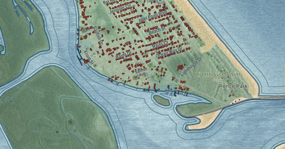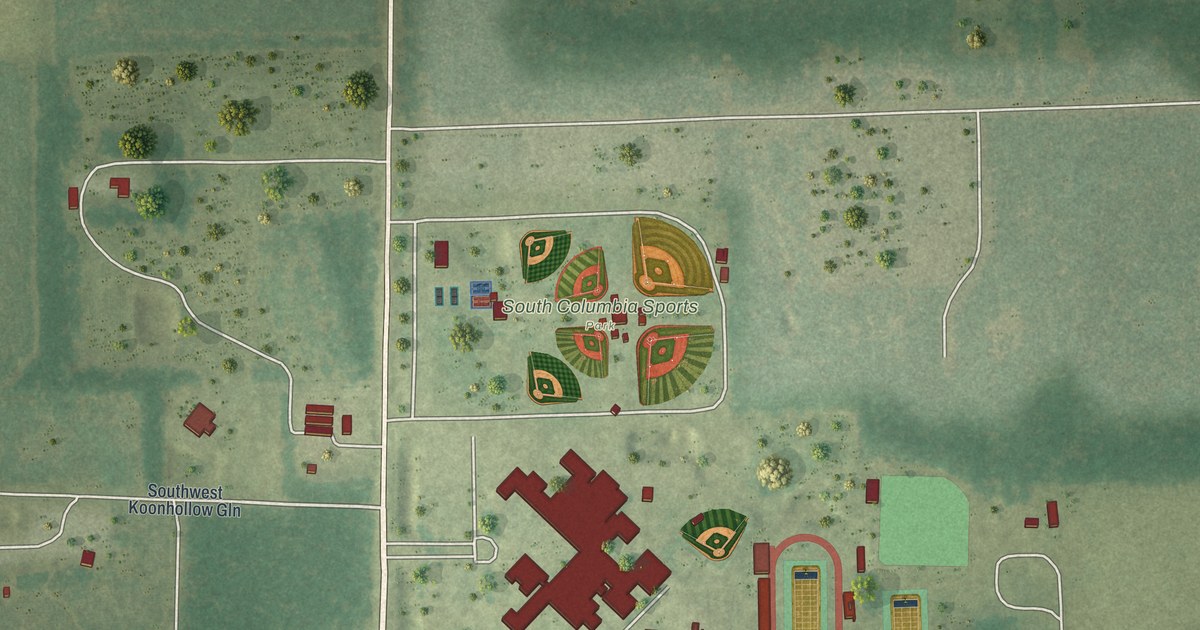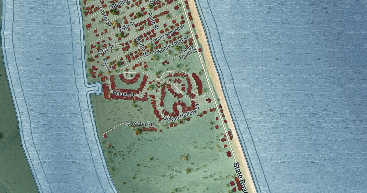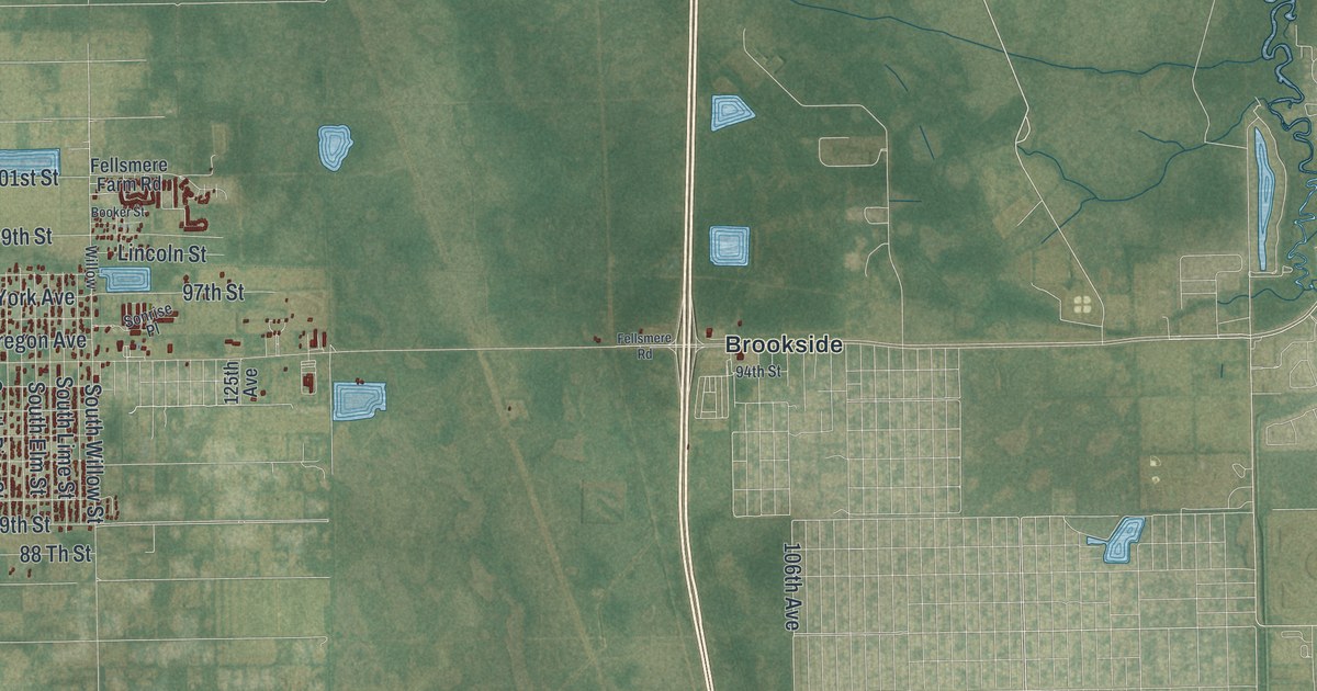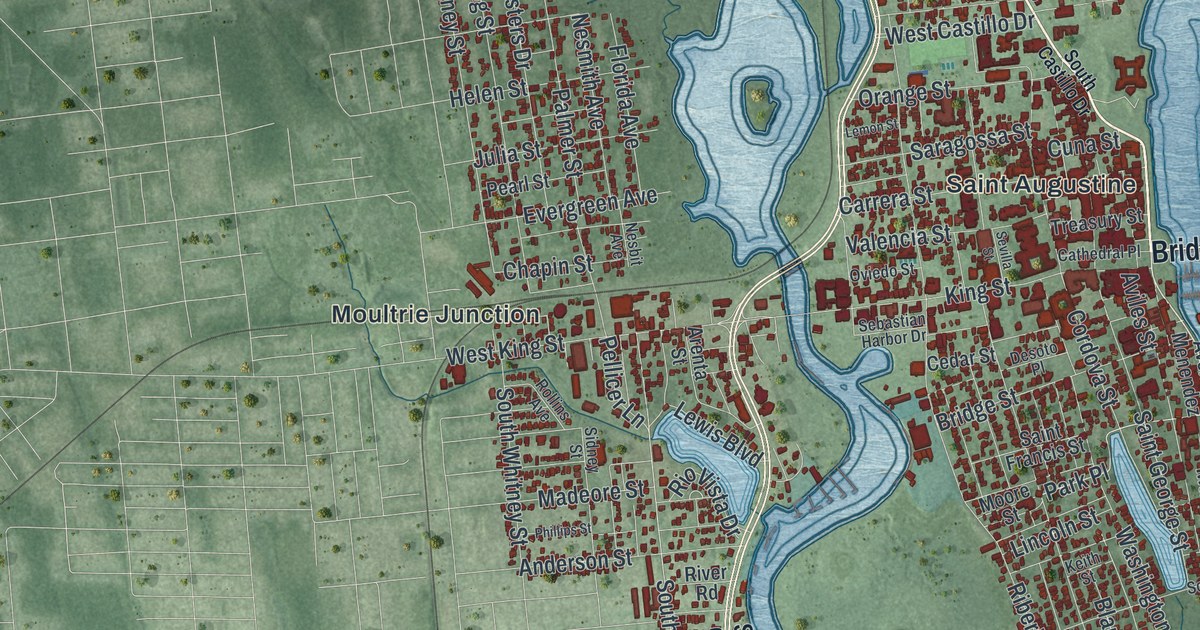
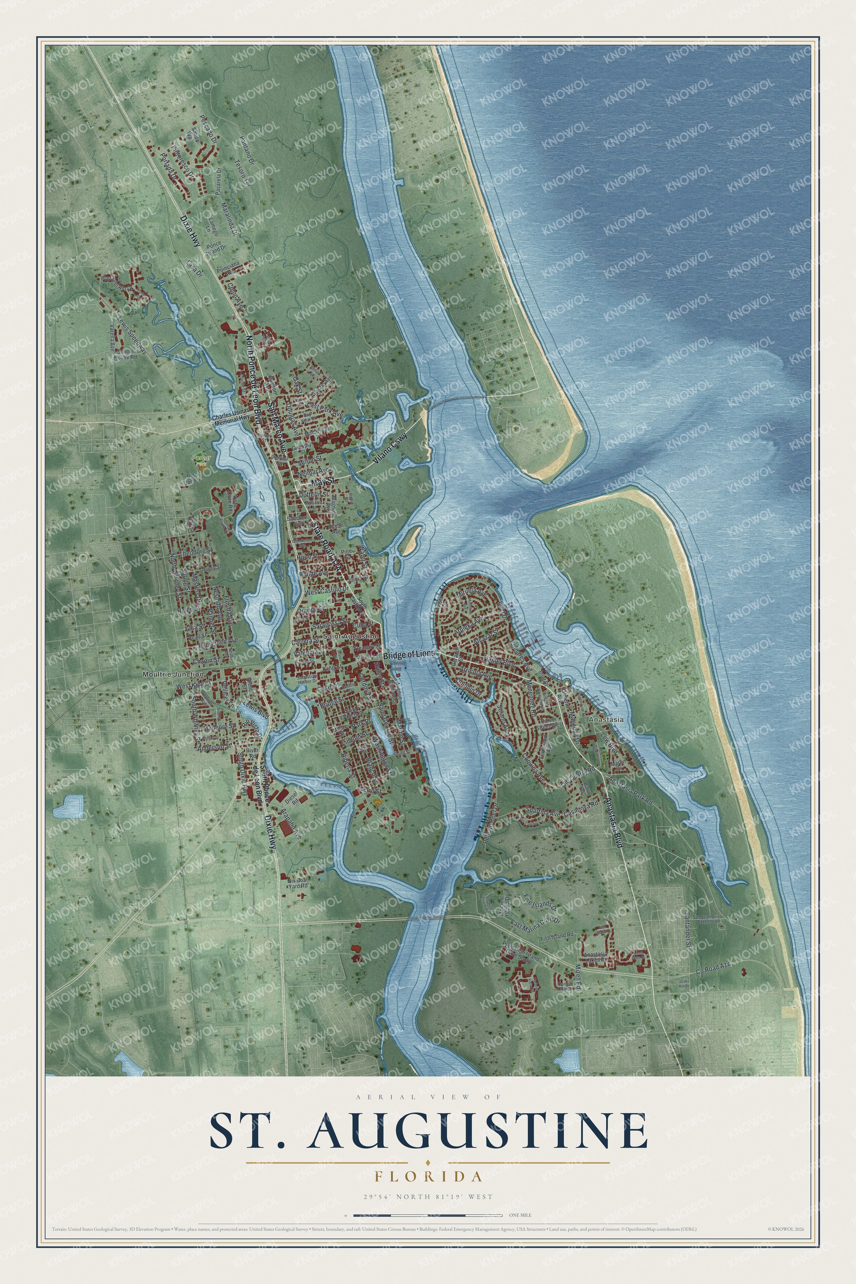
This beautifully detailed map of St. Augustine, Florida was created in 2026 using aerial imagery combined with modern topographical, census, street and landmark data. It’s a one-of-a-kind view of St. Augustine that combines accurate data with a vintage aesthetic. The map shows every building in its true location, many of the roads carry their names, and the shaded topographic relief shows the shape of the land.
Explore an aerial view of St. Augustine, Florida
On the map you’ll find Anastasia, Pomar Park, Moultrie Junction, Vilano Cswy, and Bridge of Lions, along with State Road A1A, Anastasia Boulevard, May Street, San Marco Avenue, North Ponce de Leon Boulevard, Dixie Highway, and more. If you look closely you can even find your house accurately drawn in its correct location. Zoom in on the preview to look for yours.
Did You Know?
Spanish admiral Pedro Menendez de Aviles founded the city on September 8, 1565. His ships first sighted Florida on August 28, the feast day of Saint Augustine. He named the settlement San Agustin. It is the oldest continuously inhabited European settlement in the contiguous United States.
Take a closer look at the St. Augustine map
Names on this map
These names are printed on this map.
Places: Anastasia, Pomar Park, Moultrie Junction and Saint Augustine.
Streets and roads: Anastasia Boulevard, Vilano Causeway, Bridge of Lions, May Street, San Marco Avenue, North Ponce de Leon Boulevard, Dixie Highway, Inlet Drive, Alcazar Street, Park Place, Anastasia Park Road, South Dixie Highway.
More street names, A to Z
Althea Street, Anastasia Lakes Drive, Ancient Island Drive, Anderson Street, Aqua Vista Lane, Arapaho Avenue, Arenta Street, Arpieka Avenue, Arricola Avenue, Atlantic Avenue, Avenue Menendez, Avery Street, Aviles Street, Avista Circle, Bannon Avenue, Baru Road, Bay View Drive, Big Joe Lane, Blanco Street, Bridge Street, Carrera Street, Carver Street West, Casanova Road, Cathedral Place, Cedar Street, Center Street, Cerro Street, Chapin Street, Charles Usinas Memorial Highway, Colon Avenue, Comares Avenue, Comares Avenue South, Coquina Avenue, Cordova Street, Cuna Street, Desoto Place, Diesel Road, Dolphin Drive, Douglas Avenue, Dufferin Street, East Marina Cove Drive, East Park Avenue, Evergreen Avenue, Ferdinand Avenue, Fish Island Place, Fish Island Road, Five Islands Drive, Flagler Boulevard, Florida Avenue, Frontera Drive, Genoply Street, Gerado Street, Haley Pointe Road, Hannah Cole Drive, Harbour Vista Circle, Helen Street, Hope Street, Inlet Place, Joiner Street, Julia Street, Keith Street, King Street, Lamego Lane, Lasa Drive, Leeward Island Drive, Lemon Street, Lew Boulevard, Lewis Boulevard, Lewis Speedway, Lighthouse Avenue, Lincoln Street, Lions Gate Drive, Louise Street, Macaris Street, Madeore Street, Magnolia Avenue, Magnolia Drive, Maralinda Drive, Marine Street, Marlin Drive, Masters Drive, Menendez Road, Milton Street, Miruela Avenue, Mizell Road, Montrano Avenue, Moore Street, Nelmar Avenue, Nesbit Avenue, Nesmith Avenue, Nix Boat Yard Road, North Whitney Street, Oak Hill Drive, Oak Street, Ocean Avenue, Old Mission Avenue, Old Quarry Road, Orange Street, Oviedo Street, Oyster Catcher Circle, Palmer Street, Palmetto Avenue, Pantano Drive, Park Avenue, Pasarela Drive, Pearl Street, Pelican Reef Drive, Pellicer Lane, Perpall Street, Pescado Drive, Phillips Street, Pine Street, Pintoresco Drive, Plantation Island Drive South, Plaza del Rio Drive, Poinciana Avenue, Ponce Island Drive, Portada Drive, Radio Road, Red Cox Drive, Riberia Street, Rio Vista Drive, River Road, Rohde Avenue, Rollins Avenue, Saint Francis Street, Saint George Street, Salida Way, Sanchez Avenue, San Juan Drive Extended, Santander Street, Saragossa Street, School House Road, Sebastian Harbor Drive, Serena Circle, Sevilla Street, Sidney Street, Solano Avenue, South Castillo Drive, South Ponce de Leon Boulevard, South Street, South Whitney Street, Spartina Avenue, Spring Street, Tesoro Terrace, Theodore Street, Treasury Street, Valencia Street, Varella Avenue, Vista Cove Road, Washington Street, Water Street, West Castillo Drive, West King Street, Williams Street.
See it on a wall
The St. Augustine map as a framed print. Swipe for more.


This beautifully detailed map of St. Augustine makes an attractive addition to your office, library, or den, and it can even be used to teach children the geography and history of the area. It also makes a great gift for anyone who grew up in St. Augustine or moved away. When you’re done exploring, click here to get your copy of the St. Augustine map.