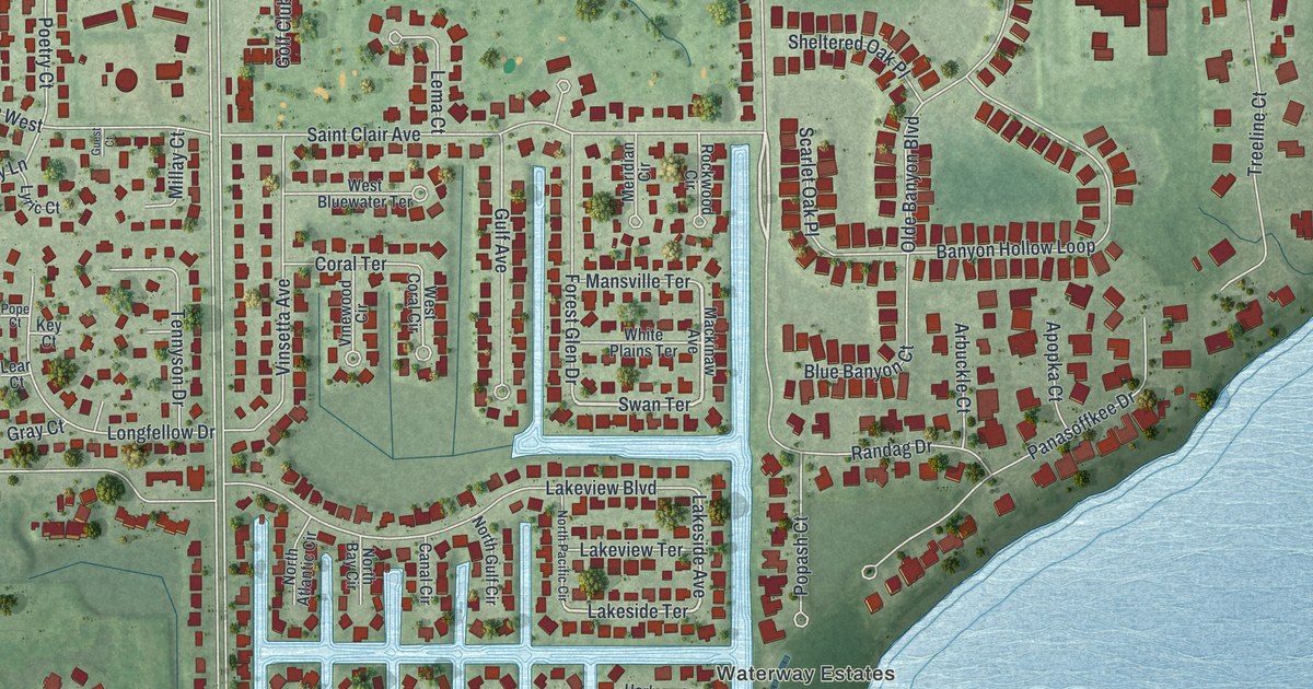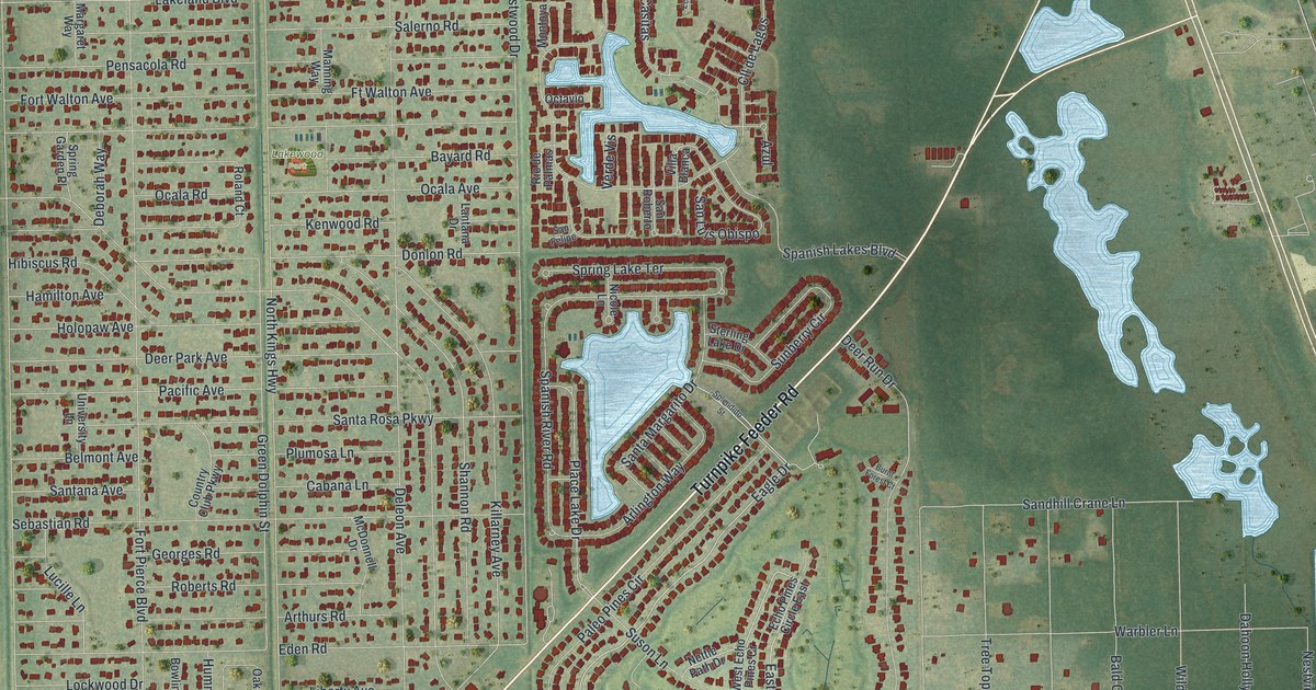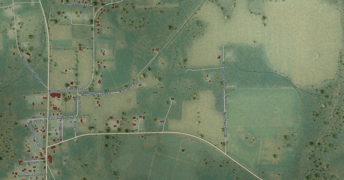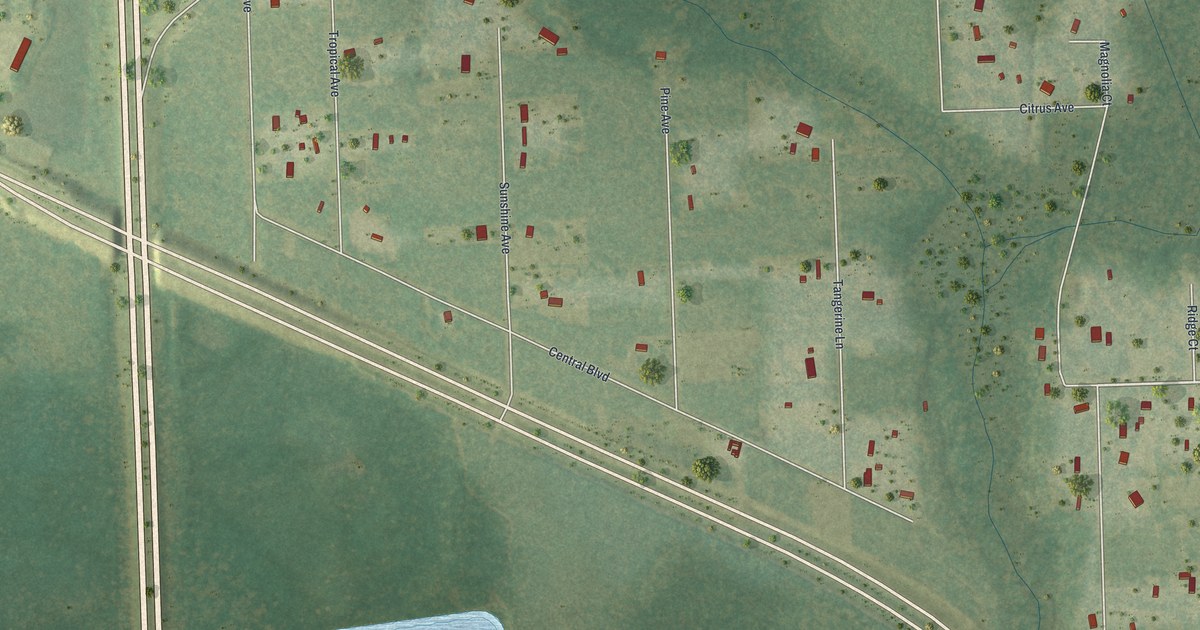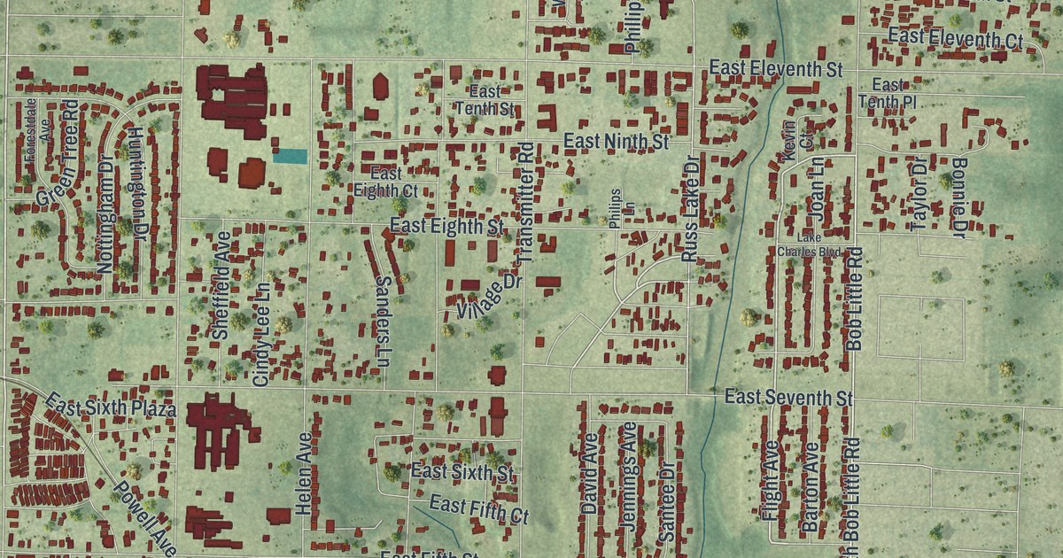
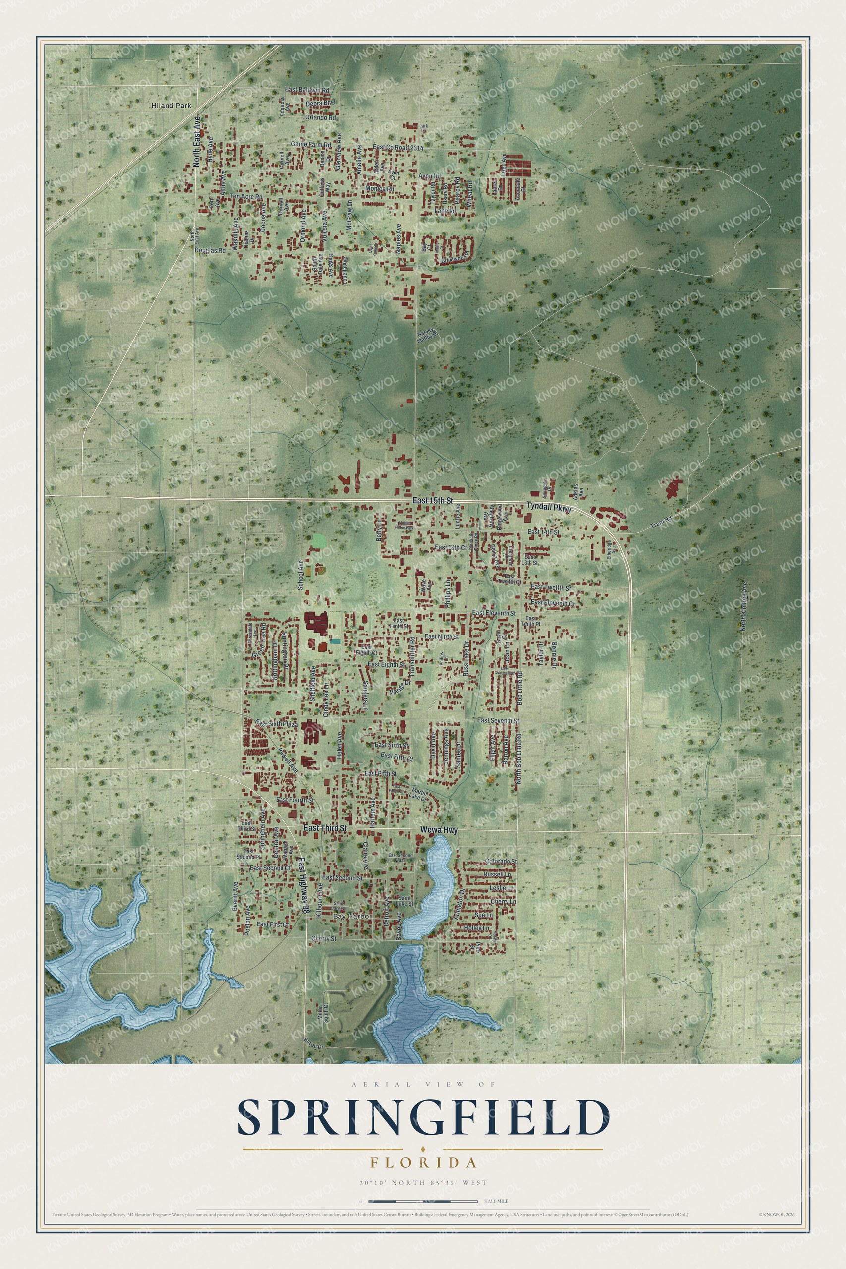
This beautifully detailed map of Springfield, Florida was created in 2026 using aerial imagery combined with modern topographical, census, street and landmark data. It’s a one-of-a-kind view of Springfield that combines accurate data with a vintage aesthetic. The map shows every building in its true location, many of the roads carry their names, and the shaded topographic relief shows the shape of the land.
Explore an aerial view of Springfield, Florida
On the map you’ll find Bay Harbor and Hiland Park, along with East 15th Street, East Highway 98, Tyndall Parkway, East Third Street, North East Avenue, Wewa Highway, Everitt Avenue, Flight Avenue, North Bob Little Road, East Fourth Street, and more. If you look closely you can even find your house accurately drawn in its correct location. Zoom in on the preview to look for yours.
Take a closer look at the Springfield map
Names on this map
These names are printed on this map.
Places: Bay Harbor, Hiland Park and Mobile Home Park.
Streets and roads: East 15th Street, East Highway 98, Tyndall Parkway, East Third Street, North East Avenue, Wewa Highway, Everitt Avenue, Flight Avenue, North Bob Little Road, East Fourth Street, Transmitter Road, East Eleventh Street.
More street names, A to Z
Adkins Avenue, Allegheny Avenue, Altha Avenue, Amelia Avenue, Arden Avenue, Arlington Drive, Avon Court, Avondale Court, Avon Road, Barton Avenue, Bay Court, Bayou Avenue, Bayou Drive, Betty Lane, Bob Little Road, Bonnie Drive, Brentwood Place, Central Avenue, Cherry Lane, Cherry Street, Cindy Lee Lane, Claire Avenue, Cocoa Avenue, Colorado Street, David Avenue, Debra Boulevard, Delisa Avenue, Denise Drive, Detroit Avenue, Douglas Road, East 13th Court, East 13th Street, East 14th Street, East Baldwin Road, East County Road 2314, East Eighth Court, East Eighth Street, East Eleventh Court, East Fifth Court, East Fifth Street, East First Court, East Fourth Court, East Ninth Street, East Second Court, East Second Place, East Second Plaza, East Second Street, East Seventh Street, East Sixth Plaza, East Sixth Street, East Tenth Place, East Tenth Street, East Twelfth Court, East Twelfth Street, Etheridge Avenue, Evergreen Court, Fern Avenue, Forestdale Avenue, Game Farm Road, Glenview Avenue, Gornall Avenue, Gornell Avenue, Green Tree Road, Harlem Avenue, Harvey Mathis Drive, Helen Avenue, Holley Lane, Huntington Drive, Hyde Avenue, Jennings Avenue, Joan Lane, Kevin Court, Kilbourn Avenue, Kings Avenue, Lake Charles Boulevard, Lane Road, Largo Avenue, Lark Lane, Laurel Drive, Leslie Lane, Louella Avenue, Luckie Avenue, Maple Court, Martin Lake Drive, McGraw Lane, Miller South Court, Monica Road, Moody Drive, Naples Avenue, North Kimbrel Avenue, Nottingham Drive, Orlando Road, Ormond Avenue, Outlaws Way, Pearcy Road, Philips Lane, Phillips Lane, Pine Street, Pinnacle Pines Road, Poston Avenue, Powell Avenue, Quiet Oaks Drive, Ridgewood Avenue, Russell Lane, Russ Lake Drive, Saint John Street, Saint Luke Street, Sanders Lane, Santee Drive, School Avenue, Sequoia Avenue, Sheffield Avenue, South Dale Avenue, Springate Drive, Springfield Avenue, Sue Lane, Taylor Drive, Taylor Road, Ten Acre Road, Thames Drive, Tram Road, Usery Road, Village Drive, Volusia Avenue, Wabash Avenue, Wakulla Avenue, Wave Avenue, Wheat Road.
See it on a wall
The Springfield map as a framed print. Swipe for more.


This beautifully detailed map of Springfield makes an attractive addition to your office, library, or den, and it can even be used to teach children the geography and history of the area. It also makes a great gift for anyone who grew up in Springfield or moved away. When you’re done exploring, click here to get your copy of the Springfield map.