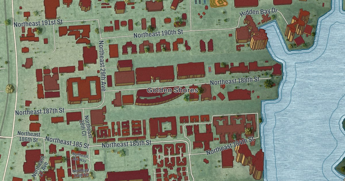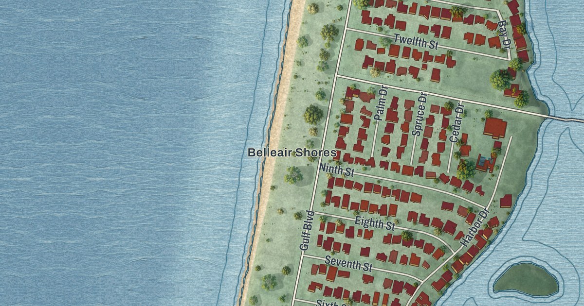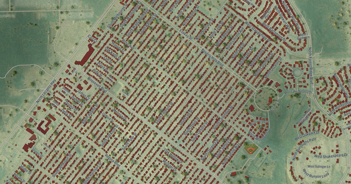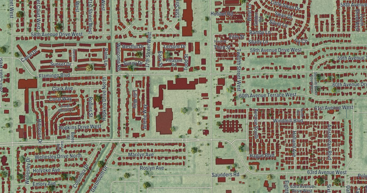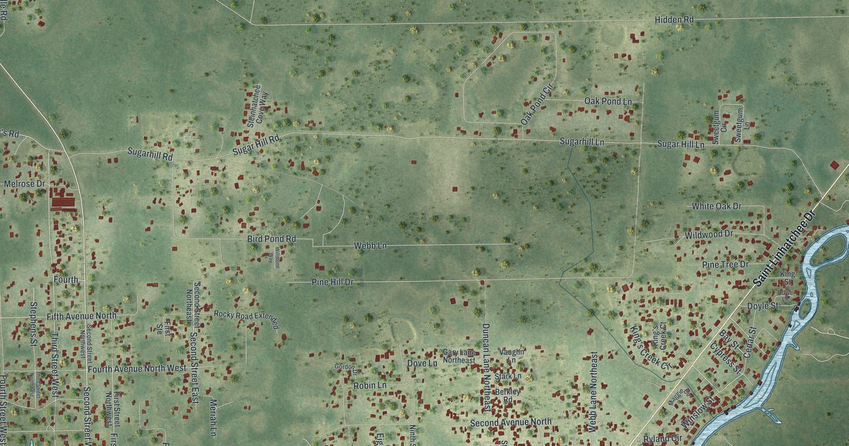
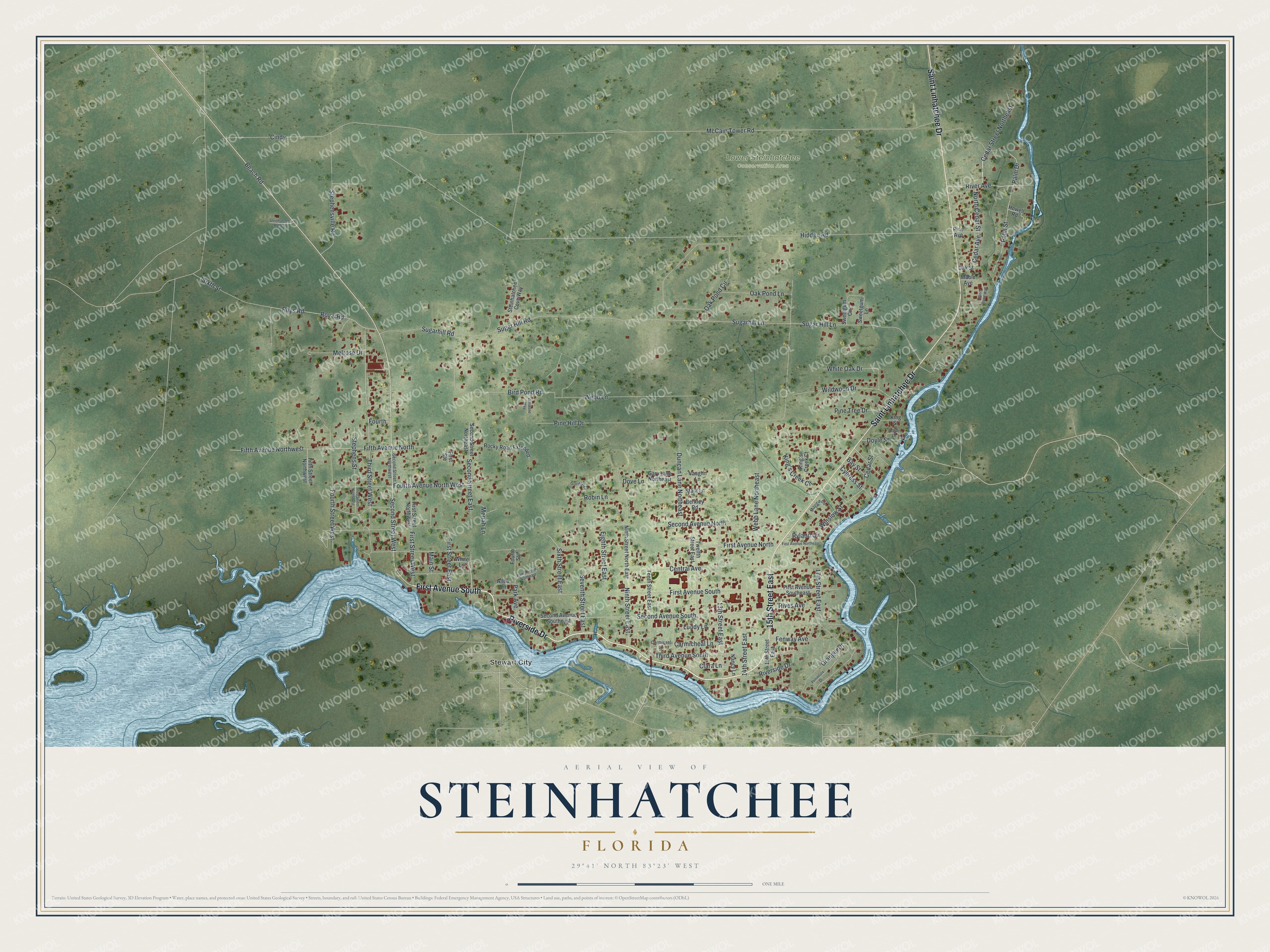
This beautifully detailed map of Steinhatchee, Florida was created in 2026 using aerial imagery combined with modern topographical, census, street and landmark data. It's a modern aerial view of Steinhatchee in Taylor County, Florida, that combines modern data with a vintage aesthetic. The roads feature printed names, and if you look closely you can find your exact house accurately shown in its correct location.
Explore an aerial view of Steinhatchee, Florida
On this map you'll find Lower Steinhatchee Conservation Area, Stewart City, Riverside Drive, First Avenue South, 15th Street East, Saint Linhatchee Drive, Second Street East, Beach Road, Fenway Avenue, Fourth, Second Avenue South, 17th Street East, and more. Each red shape is a building, so zoom in on the preview and look for yours.
Steinhatchee has a story worth telling. The Florida Department of State puts it this way: "In 1879 James Howard Stephens (1825-1906), a local pioneer, offered land for a post office changing the name from Deadman Bay to Stephensville. In 1931 the community was renamed Steinhatchee after the river." The name Steinhatchee came from the Native American words esteen hatchee, meaning river of man.
Steinhatchee is a community in Taylor County. The Census Bureau counted 1,049 people here in 2020.
Take a closer look at the Steinhatchee map
Names on this map
These names are printed on this map.
Places: Lower Steinhatchee Conservation Area and Stewart City.
Streets and roads: Riverside Drive, First Avenue South, 15th Street East, Saint Linhatchee Drive, Second Street East, Beach Road, Fenway Avenue, Fourth, Second Avenue South, 17th Street East, Cedar Street Northeast, Cedar Street.
More street names, A to Z
13th Street East, 14th Street East, Allen Lane, Bay Street, Berkley Road, Bird Pond Road, Carmicael Lane, Carmicheal Lane, Cedar Avenue, Central Avenue, Cindy, Clara Lane, Cypress Street, Dove Lane, Doyle Lane, Doyle Street, Duncan Lane Northeast, Eighth Street East, Fifth Avenue North, Fifth Avenue Northwest, Fifth Street Northwest, First Avenue North, First Avenue Northeast, First Avenue Southeast, First Ste, First Street East, First Street Northwest, First Street West, Fourth Avenue North West, Fourth Ste, Fourth Street West, Gary Lane Northeast, Gordon Drive, Granger Drive, Hidden Road, Howell Road, King's Creek Circle, King's Creek Court, King Street, Lundy Lane, Mable Avenue, Maggie Circle, Main Street, McCain Tower Road, Melrose Drive, Meriah Lane, Nancy Lane, Ninth Street East, Ninth Street North East, North Cedar Street, Oak Pond Circle, Oak Pond Lane, Oak Street, Palm Drive, Palm Street, Park Avenue, Park Avenue Northeast, Peninsula Drive, Pine Avenue, Pine Hill Drive, Pine Tree Drive, River Avenue, Rivers Bend Way, Rives Avenue, Robin Lane, Rocky Road Extended, Roy's Road, Roys Road, Ryland Circle, Second Avenue North, Second Avenue Southeast, Second Street Northeast, Second Street Northwest, Second Street West, Seventh Street East, Sixth Street, Sixth Street East, Stark Lane, Steinhatchee Cove Way, Steinhatchee Roll Off, Stephens Street, Stephensville Road, Sugarhill Lane, Sugar Hill Lane, Sugar Hill Road, Sugarhill Road, Sweetgum Circle, Sweetgum Lane, Tenth Street East, Third Avenue South, Third Street Northwest, Third Street West, Twelfth Street East, Vaughn Lane, Webb Lane, Webb Lane Northeast, White Lane, White Oak Drive, Wildwood Drive, Willstone Way, Winslow Street.
See it on a wall
The Steinhatchee map as a framed print. Swipe for more.


Created by KNOWOL in 2026. The buildings are small red shapes, the roads carry their printed names, and shaded relief shows the shape of the land. The title panel reads "AERIAL VIEW OF STEINHATCHEE, FLORIDA" with 29°41' NORTH 83°23' WEST.
It looks right in a kitchen, an office or a den, and it's a gift for anyone who grew up in Steinhatchee or moved away. Open the preview and find your street. See sizes and frames for the Steinhatchee map.