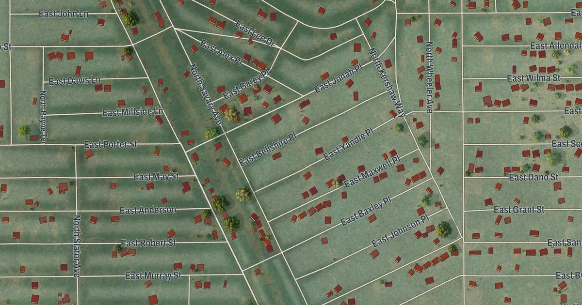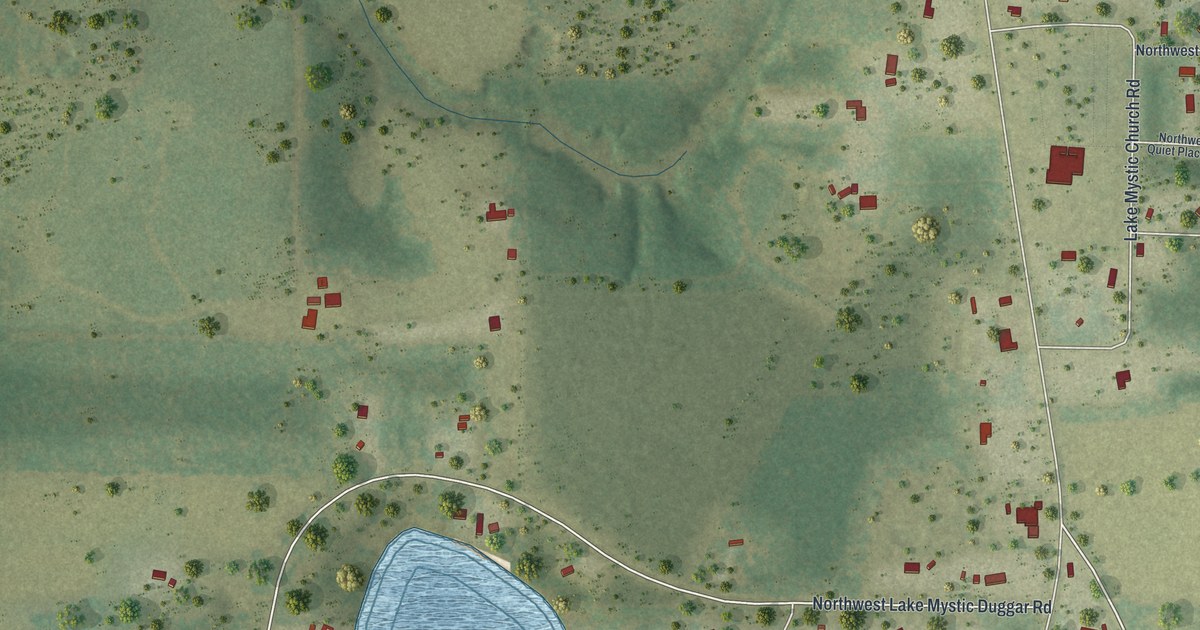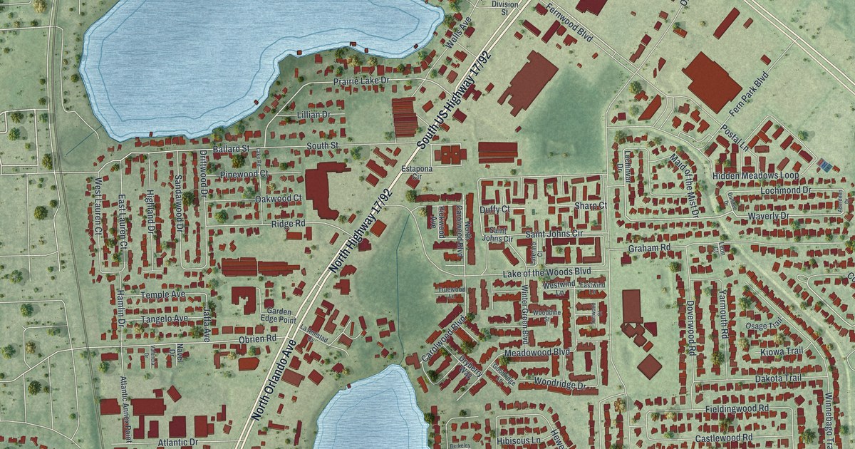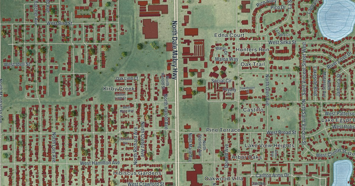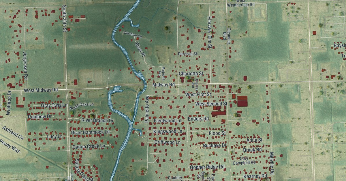
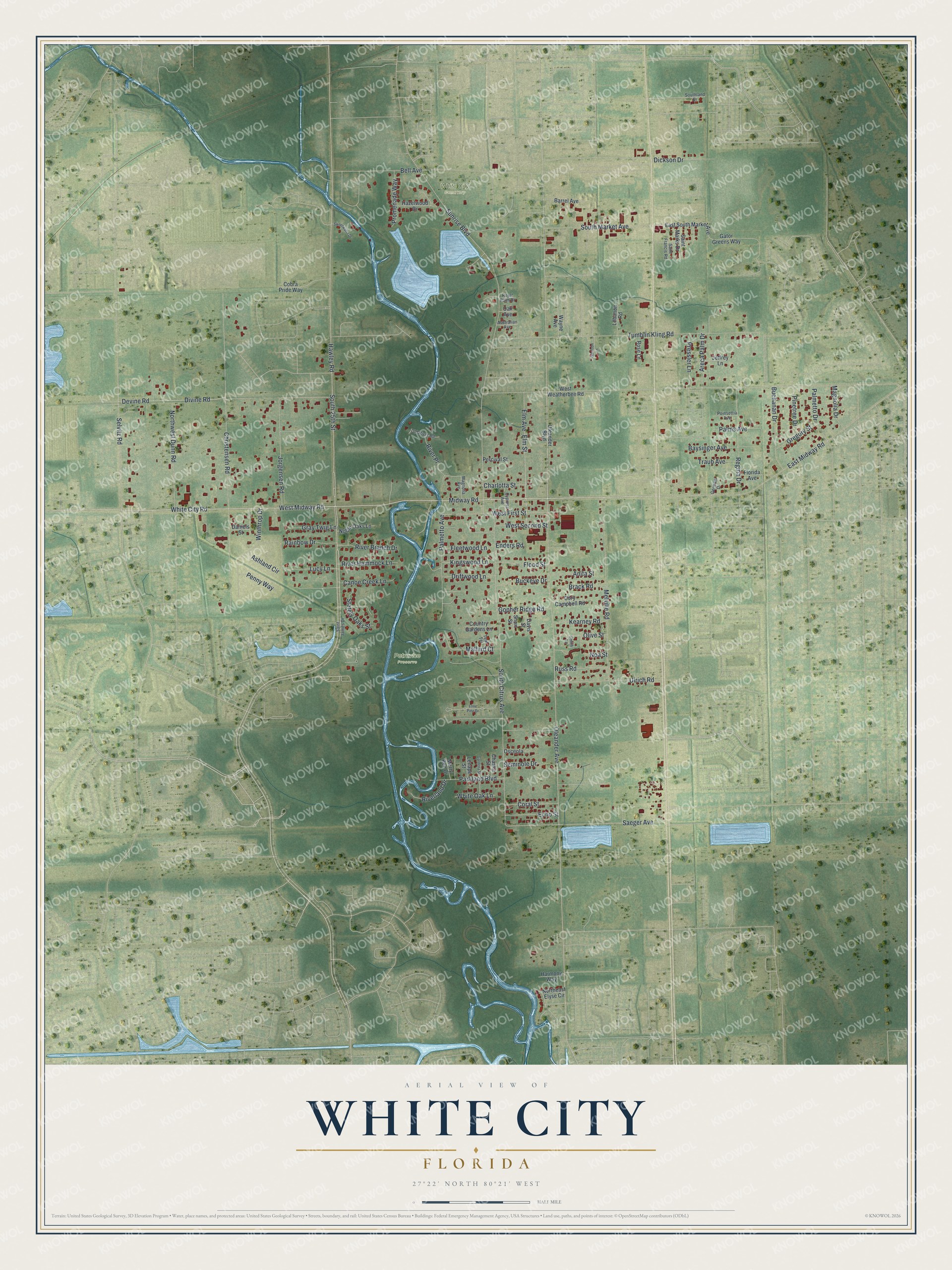
This beautifully detailed map of White City, Florida was created in 2026 using aerial imagery combined with modern topographical, census, street and landmark data. It's a modern aerial view of White City in St. Lucie County, Florida, that combines modern data with a vintage aesthetic. The roads feature printed names, and if you look closely you can find your exact house accurately shown in its correct location.
Explore an aerial view of White City, Florida
On this map you'll find Petravice Preserve, White City Cemetery, West Midway Road, East Midway Road, Oleander Avenue, West First Street, Sunrise Boulevard, Hawley Road, South 25th Street, South Citrus Avenue, Christensen Road, Melville Road, and more. Each red shape is a building, so zoom in on the preview and look for yours.
Here is a piece of White City history. White City was founded in 1893 as a colony for Danish immigrants, aimed above all at the Danes of Chicago. It took its name from the brightly lit part of the World's Fair in Chicago, and the settlers carried the theme on by naming their main street Midway. The settlers came through the Great Freeze of 1894 and malaria in 1896. Those who stayed grew pineapples, then citrus after World War I. That's from the National Register of Historic Places.
White City is a community in St. Lucie County. The Census Bureau counted 3,779 people here in 2020.
Take a closer look at the White City map
Names on this map
These names are printed on this map.
Places: Petravice Preserve and White City Cemetery.
Streets and roads: West Midway Road, East Midway Road, Oleander Avenue, West First Street, Sunrise Boulevard, Hawley Road, South 25th Street, South Citrus Avenue, Christensen Road, Melville Road, Tumblin Kling Road, Saeger Avenue.
More street names, A to Z
Anita Street, Areca Palm Drive, Ashland Circle, Australian Avenue, Barrel Avenue, Baysinger Avenue, Bell Avenue, Brack Road, Buchanan Drive, Buckeye Drive, Canoe Creek Lane, Charlotta Street, Chaska Street, Cobra Pride Way, Coral Street, Cory Campbell Road, Country Gardens Lane, Cypress Avenue, Daniels Street, Davis Street, Devine Road, Dickson Drive, Divine Road, Driftwood Lane, East South Market Avenue, Echo Street, Elm Avenue, Elm Street, Enders Road, Fleetwood Lane, Flood Street, Florida Avenue, Gardena Street, Garrison Lane, Gator Greens Way, Germani Drive, Gopher Ridge Road, Gray Twig Lane, Gregory Street, Harmony Way, Hazelwood Drive, Jeffrey Lane, Jorgensen Road, Kearney Road, Kingswood Lane, Lebanon Road, Lenape Street, Lone Pine Drive, Lucy Lane, Magnolia Avenue, Magnolia Drive, Mallard Court, Merry Bee Drive, Midway Road, Noa Street, Noble Oaks Lane, Northeast Elyse Circle, Northwest Dunn Road, Oak Avenue, Old River Road, Oleander Boulevard, Olive Street, Osceola, Palmetto Avenue, Palmetto Drive, Palms Avenue, Parkland Boulevard, Penny Way, Percival Street, Pinetree Drive, Poinsettia Avenue, Pressler Lane, Promenade Way, Rainbow Drive, Regina Drive, River Branch Drive, River Hammock Lane, Riverland Drive, River Place, Rose Lane, Royal Palm Drive, Russ Road, Saint Francis Road, Saint James Drive, Saint Marks Drive, Selvitz Road, Seminole Drive, Short Street, Smith Lane, Southland Drive, South Market Avenue, Stately Oaks Street, Sweetwater Drive, Teal Terrace, Traub Avenue, Ulrich Road, Wayne Avenue, West Second Street, West Weatherbee Road, White City Road, White Oak Lane, Winthrop Drive.
See it on a wall
The White City map as a framed print. Swipe for more.


Created by KNOWOL in 2026. The buildings are small red shapes, the roads carry their printed names, and shaded relief shows the shape of the land. The title panel reads "AERIAL VIEW OF WHITE CITY, FLORIDA" with 27°22' NORTH 80°21' WEST.
It suits a den, a classroom or a front hall, and it makes a gift for anyone with White City roots. Open the preview and find the block you know. See sizes and frames for the White City map.