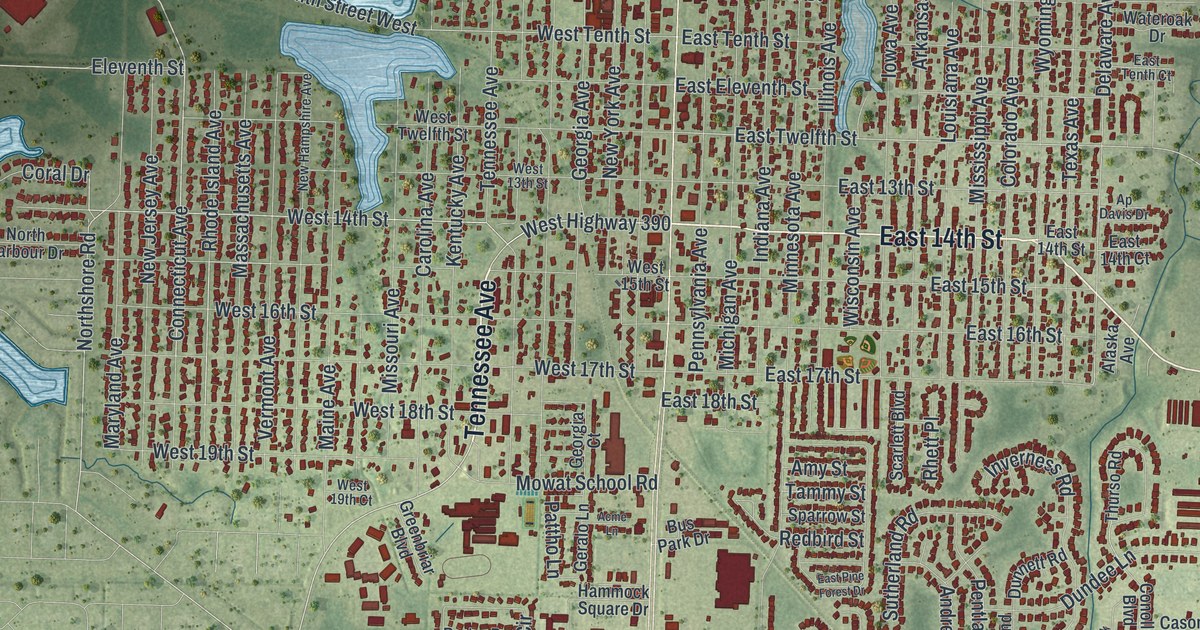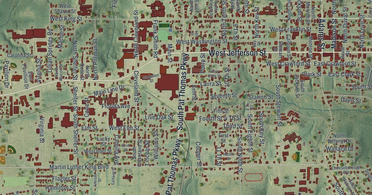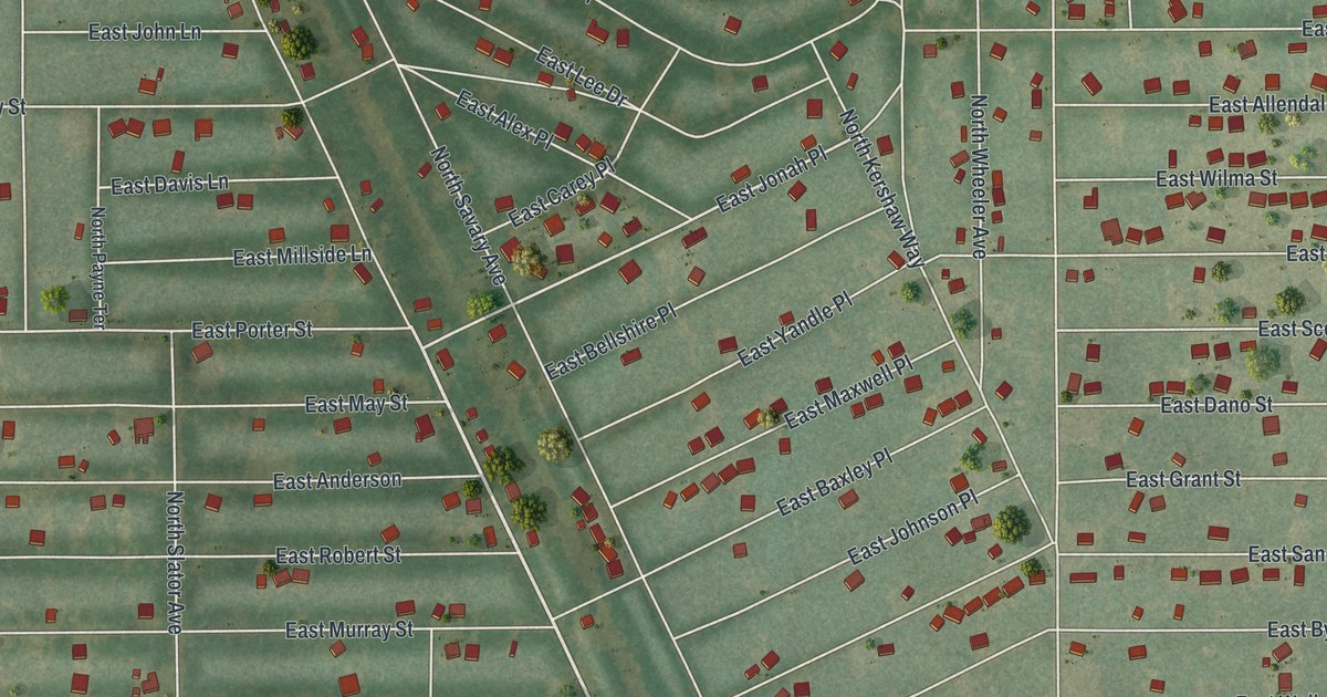
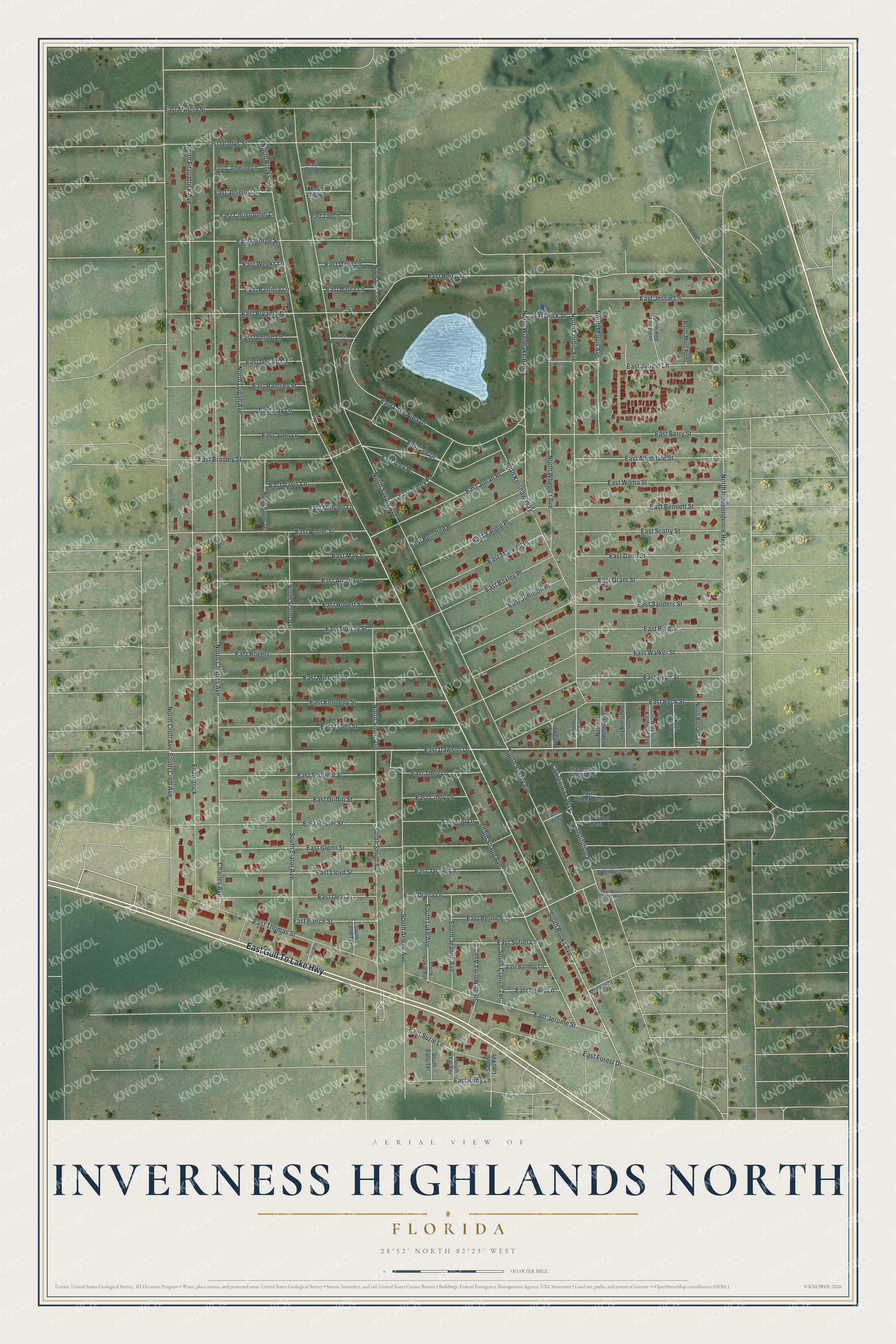
This beautifully detailed map of Inverness Highlands North, Florida was created in 2026 using aerial imagery combined with modern topographical, census, street and landmark data. It's a modern aerial view of Inverness Highlands North in Citrus County, Florida, that combines modern data with a vintage aesthetic. The roads feature printed names, and if you look closely you can find your exact house accurately shown in its correct location.
Explore an aerial view of Inverness Highlands North, Florida
On this map you'll find East Gulf To Lake Highway, East Dawson Drive, North Rooks Avenue, South Snapp Avenue, South Rooks Avenue, East Bernice Street, East Jonah Place, North Savary Avenue, North Croft Avenue, North Fitzpatrick Avenue, North Charles Avenue, North Independence Highway, and more. Each red shape is a building, so zoom in on the preview and look for yours.
Inverness Highlands North is a community in Citrus County. The Census Bureau counted 2,707 people here in 2020. Inverness Highlands North sits about 4 miles southeast of Citrus Hills, 5 miles northwest of Inverness Highlands South and 6 miles southeast of Beverly Hills. The map prints the town name in its title panel, with the coordinates below it.
Take a closer look at the Inverness Highlands North map
Names on this map
These names are printed on this map.
Streets and roads: East Gulf To Lake Highway, East Dawson Drive, North Rooks Avenue, South Snapp Avenue, South Rooks Avenue, East Bernice Street, East Jonah Place, North Savary Avenue, North Croft Avenue, North Fitzpatrick Avenue, North Charles Avenue, North Independence Highway.
More street names, A to Z
Charles Avenue, Constitution Boulevard, Constitution Way, East Alex Place, East Alisa Lane, East Allendale Street, East Anderson, East Baxley Place, East Beck Street, East Bellshire Place, East Bennett Street, East Berry Street, East Bradley Street, East Bryant Street, East Bulldog Lane, East Byrd Street, East Carey Place, East Catherine Lane, East Christopher Lane, East Cindy Lane, East Clinton Street, East Clyde Lane, East Dano Street, East Dave Lane, East Davis Lane, East Deal Street, East Diana Lane, East Donald Lane, East Forest Drive, East George Street, East Gerald Lane, East Gladys Street, East Glenn Street, East Grant Street, East Griffin Street, East Hester Street, East Jaclyn Lane, East Jerome Street, East Jessie Lane, East John Lane, East Johnson Place, East Joseph Lane, East Jurigin Lane, East Kay Lane, East Kennedy Street, East Kirby Lane, East Kirk Street, East Lake Nina Drive, East Lee Drive, East Lenny Lane, East Lewis Lane, East Lloyd Street, East Lou Lane, East Marcia Street, East Maxwell Place, East May Street, East Michael Street, East Millside Lane, East Monroe Street, East Murray Street, East Odier Street, East Patricia Lane, East Paula Lane, East Perry Street, East Pierce Street, East Porter Street, East Ramsey Street, East Robert Street, East Rogers, East Ryan Street, East Sanders Street, East Scofield Street, East Scotty Street, East Side Court, East Sutter Lane, East Suzie Lane, East Theo Lane, East Thomas Street, East Top Lane, East Walker Street, East Weeks Lane, East Wilma Street, East Yandle Place, Eisenhower Street West, Fitzpatrick, Harrison Street West, North Bakers Terrace, North Bradshaw Terrace, North Corbin Avenue, North Dugan Avenue, North Kaufman Terrace, North Kershaw Way, North Mont Point, North Morris Avenue, North Payne Terrace, North Red Fox Point, North Richard Terrace, North Sheffield Terrace, North Slator Avenue, North Smith Avenue, North Sonia Avenue, North Welsh Terrace, North Wheeler Avenue, North Wiley Terrace, North Woodlake Avenue, Polk Street West, South Arlene Avenue, South Carlo Terrace, South Clarice Terrace, South Croft Avenue, South Fall Way, South Flo Terrace, South Jeanne Avenue, South Lois Terrace, South Luke Avenue, South Lukie Avenue, South Norma Avenue, South Sally Terrace, South Savary Avenue, South Slator Avenue, South Smith Avenue, Taylor Street West, Van Buren Street West.
See it on a wall
The Inverness Highlands North map as a framed print. Swipe for more.


Created by KNOWOL in 2026. The buildings are small red shapes, the roads carry their printed names, and shaded relief shows the shape of the land. The title panel reads "AERIAL VIEW OF INVERNESS HIGHLANDS NORTH, FLORIDA" with 28°52' NORTH 82°23' WEST.
It looks right in a kitchen, an office or a den, and it's a gift for anyone who grew up in Inverness Highlands North or moved away. Open the preview and find your street. See sizes and frames for the Inverness Highlands North map.