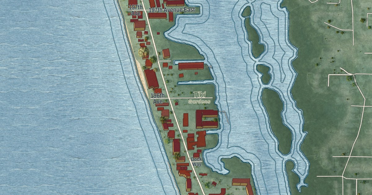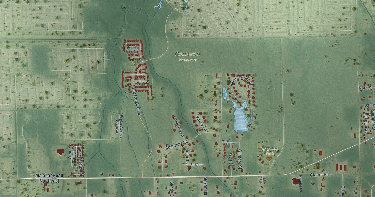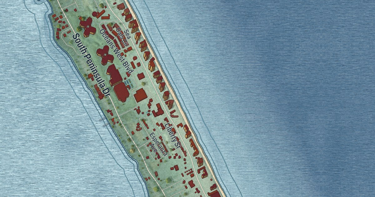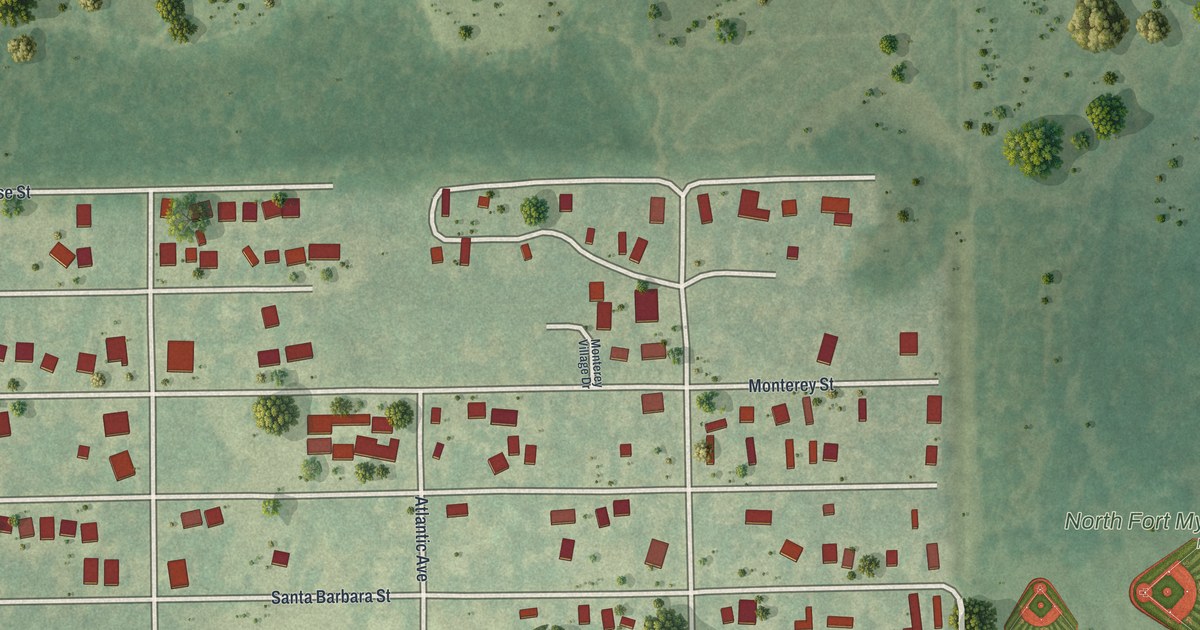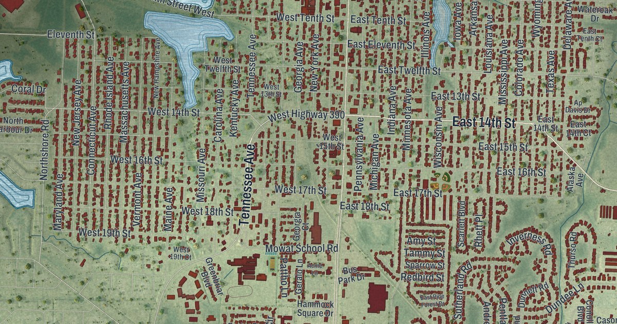
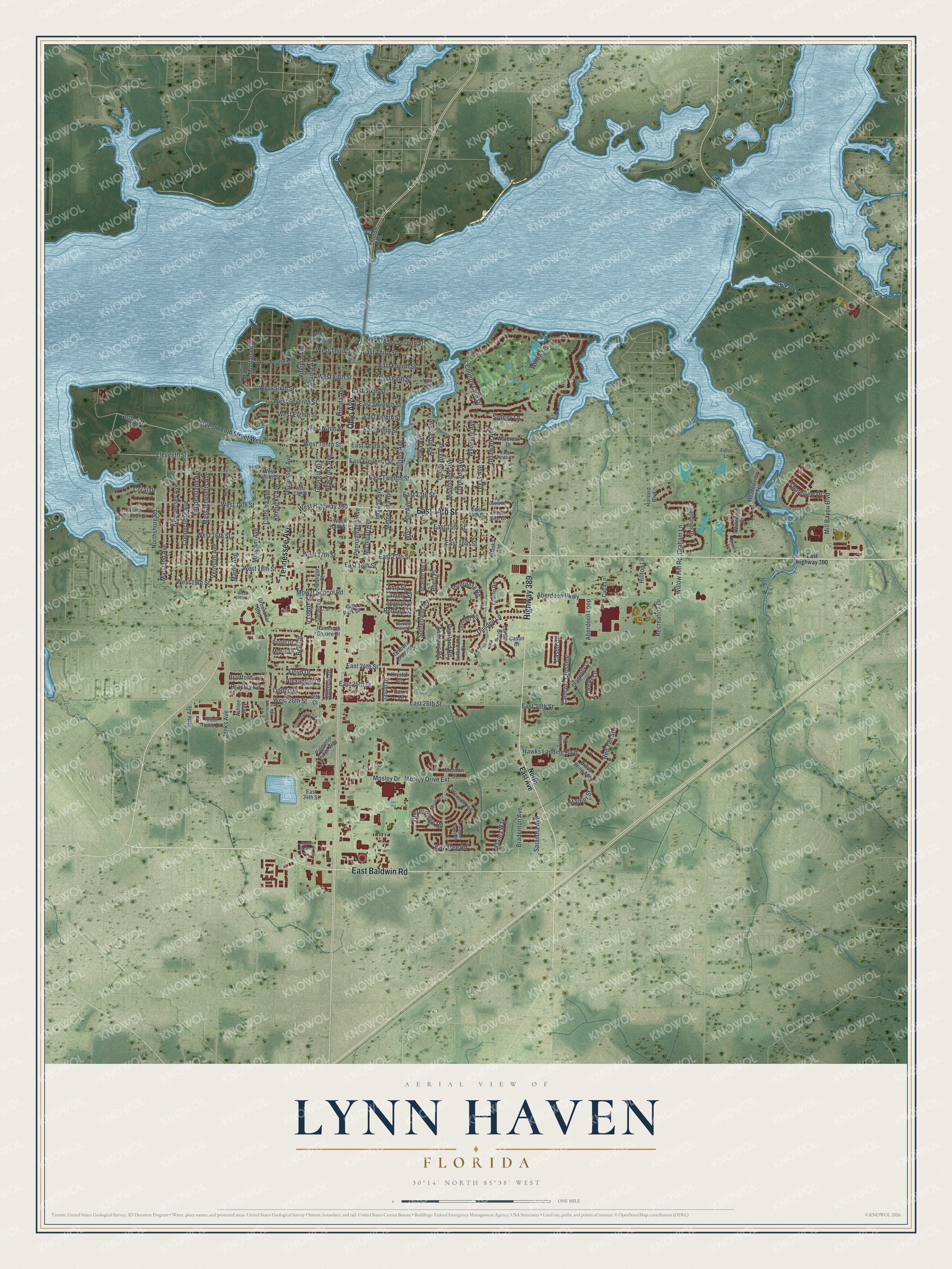
This beautifully detailed map of Lynn Haven, Florida was created in 2026 using aerial imagery combined with modern topographical, census, street and landmark data. It’s a one-of-a-kind view of Lynn Haven that combines accurate data with a vintage aesthetic. The map shows every building in its true location, many of the roads carry their names, and the shaded topographic relief shows the shape of the land.
Explore an aerial view of Lynn Haven, Florida
On the map you’ll find East Baldwin Road, Highway 389, Tennessee Avenue, Ohio Avenue, East 14th Street, Arthur Drive, Rhode Island Avenue, West 14th Street, West Highway 390, Connecticut Avenue, Country Club Drive, Northshore Road, and more. If you look closely you can even find your house accurately drawn in its correct location. Zoom in on the preview to look for yours.
Did You Know?
Union veterans of the Civil War founded Lynn Haven in 1911. The town was named for W. H. Lynn, a major stockholder in the St. Andrews Bay Development Company. That company owned and developed the land where the community grew.
Take a closer look at the Lynn Haven map
Names on this map
These names are printed on this map.
Streets and roads: East Baldwin Road, Highway 389, Tennessee Avenue, Ohio Avenue, East 14th Street, Arthur Drive, Rhode Island Avenue, West 14th Street, West Highway 390, Connecticut Avenue, Country Club Drive, Northshore Road.
More street names, A to Z
26th Court, Aberdeen Loop, Aberdeen Parkway, Acme Lane, Alabama Avenue, Alaska Avenue, Alexander Drive, Amy Street, Andrews Road, Ap Davis Drive, Arbor Trace Drive, Arkansas Avenue, Ashlee Way, Azalea Circle, Azalea Way, Baldwin Rowe Circle, Bay Tree Road, Bell Circle, Bradenton Avenue, Bradford Circle, Bradley Circle, Broad Wing Avenue, Bus Park Drive, Camryns Crossing, Carla Lane, Carolina Avenue, Carrie Lane, Cason Circle, Cason Drive, Cherry Ridge Road, Colorado Avenue, Conolly Boulevard, Coral Drive, Cottonwood Circle, Delaware Avenue, Dragonfly Lane, Drews Lane, Dundee Lane, Dunnett Road, East 13th Street, East 14th Court, East 15th Street, East 16th Street, East 17th Street, East 18th Street, East 24th Street, East 25th Street, East 26th Street, East 34th Street, East 39th Street, East Eighth Street, East Eleventh Street, East Fifth Street, East Fourth Street, East Highway 390, East Ninth Street, East Pine Forest Drive, East Second Street, East Seventh Street, East Sixth Street, East Tenth Court, East Tenth Street, East Third Street, East Twelfth Street, Eleventh Street, Ferol Lane, Florida Avenue, Floyd Drive, Georgia Avenue, Georgia Court, Geralo Lane, Graham Lane, Greenbriar Boulevard, Hammock Square Drive, Harrier Street, Harvard Boulevard, Hawks Landing Boulevard, Hidden Valley Road, Hilltop Lane, Illinois Avenue, Indiana Avenue, Inverness Road, Iowa Avenue, Jack Drive, Jason Drive, Jenks Avenue, Johnson Drive, Kay Lane, Kentucky Avenue, Krystal Lane, Lakeview Terrace, Landings Drive, Liddon Place, Louisiana Avenue, Maine Avenue, Maryland Avenue, Massachusetts Avenue, Meadow Street, Meadowview Terrace, Michigan Avenue, Mill Bayou Boulevard, Minnesota Avenue, Mississippi Avenue, Missouri Avenue, Montana, Montana Avenue, Moore Drive, Mosley Drive, Mosley Drive Extension, Mowat School Road, New Hampshire Avenue, New Jersey Avenue, New York Avenue, North East Avenue, North Harbour Drive, Palmetto Ridge Way, Pattho Lane, Pennsylvania Avenue, Pentland Road, Pleasant Hill, Porter Drive, Ravenwood Court, Recreation Drive, Redbird Street, Red Tail Street, Rhett Place, Sarasota Avenue, Scarlett Boulevard, Shoreview Drive, Shoreview Drive South, Sparrow Street, State Avenue, Sutherland Court, Sutherland Road, Sydney Lane, Talon Court, Tammy Street, Texas Avenue, Thorton Road, Thurso Road, Timbers Crossing, Vermont Avenue, Virginia Avenue, Waterford Drive, Wateroak Drive, West 13th Street, West 15th Street, West 16th Street, West 17th Street, West 18th Street, West 19th Court, West 19th Street, West 26th Street, West Eighth Street, West Fifth Street, West Fourth Street, West Ninth Street, West Second Street, West Seventh Street, West Sixth Street, West Tenth Street, West Tenth Street West, West Third Street, West Twelfth Street, Willow Hill Road, Willow Lane, Wisconsin Avenue, Wyoming Avenue.
See it on a wall
The Lynn Haven map as a framed print. Swipe for more.


This beautifully detailed map of Lynn Haven makes an attractive addition to your office, library, or den, and it can even be used to teach children the geography and history of the area. It also makes a great gift for someone who left Lynn Haven and still calls it home. When you’re done exploring, click here to get your copy of the Lynn Haven map.