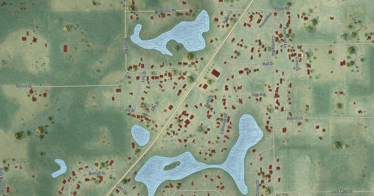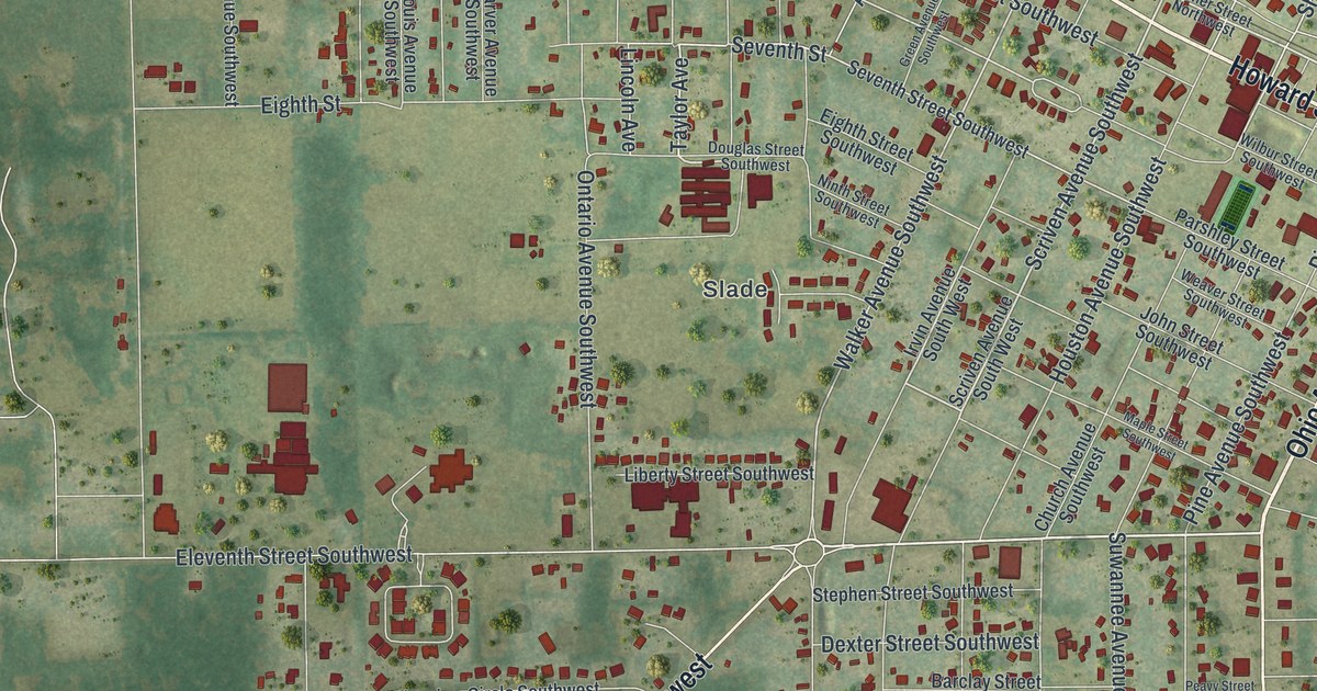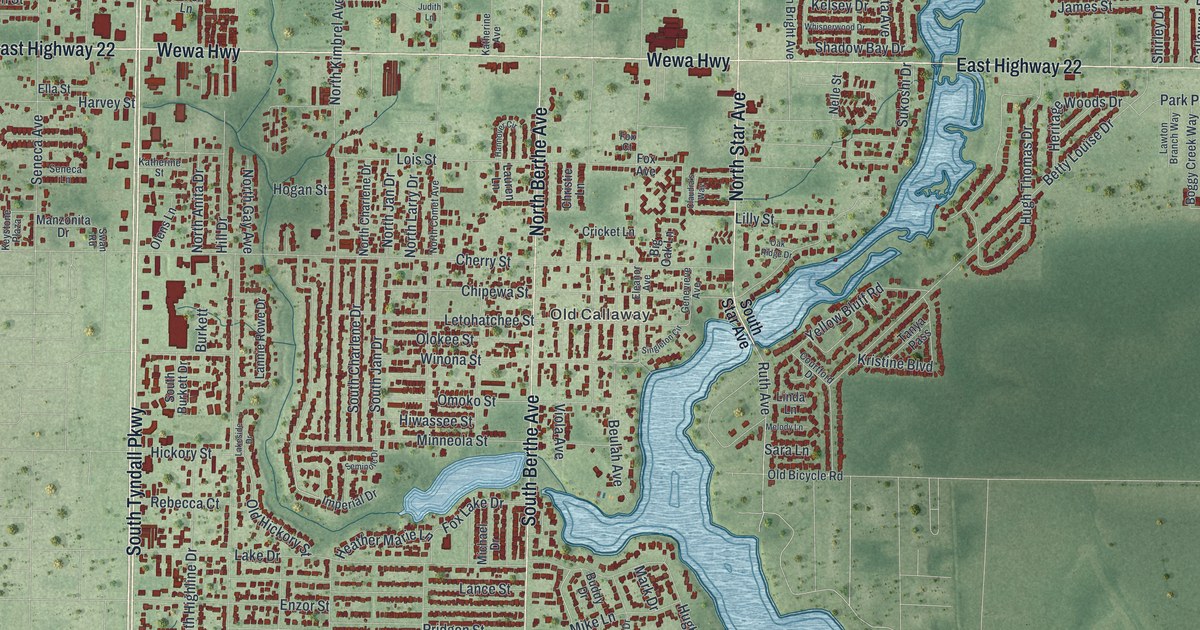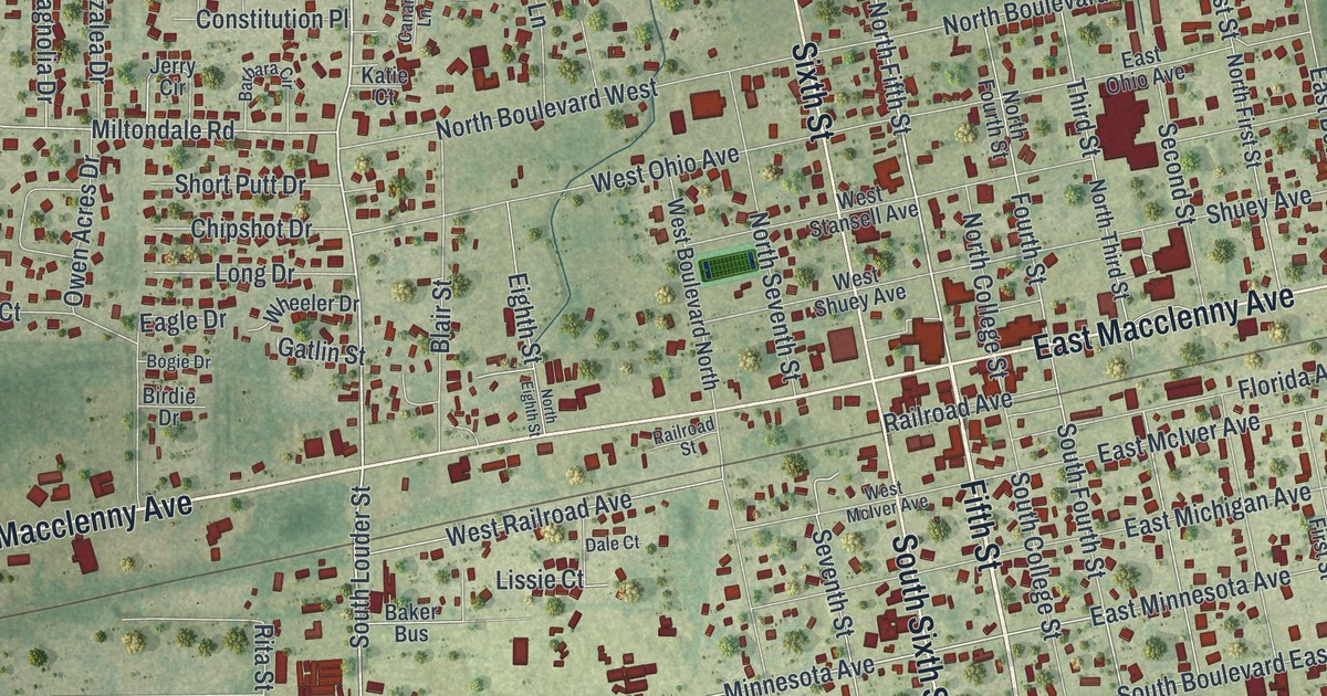
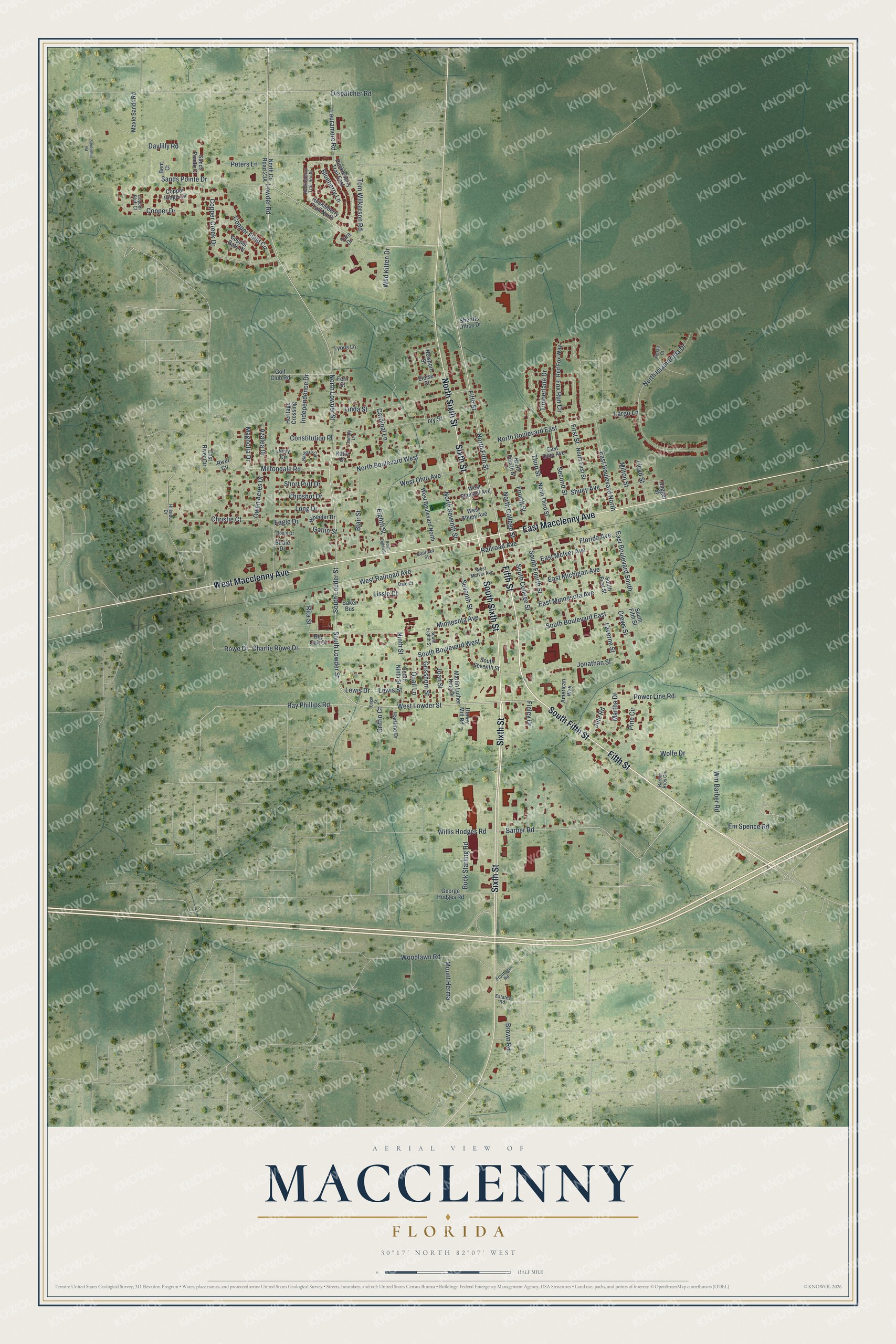
This beautifully detailed map of Macclenny, Florida was created in 2026 using aerial imagery combined with modern topographical, census, street and landmark data. It’s a one-of-a-kind view of Macclenny that combines accurate data with a vintage aesthetic. The map shows every building in its true location, many of the roads carry their names, and the shaded topographic relief shows the shape of the land.
Explore an aerial view of Macclenny, Florida
On the map you’ll find Fifth Street, West Macclenny Avenue, Sixth Street, South Sixth Street, East Macclenny Avenue, South Fifth Street, North Sixth Street, West Lowder Street, Lauramore Road, Ray Phillips Road, Barber Road, South Lowder Street, and more. If you look closely you can even find your house accurately drawn in its correct location. Zoom in on the preview to look for yours.
Did You Know?
The town was first called Darbyville for the Darby family, who owned most of the land. Carr Bowers McClenny married into the family and bought it up for timber. The town then took his name. The post office dropped the capital letter in the middle, making it Macclenny.
Take a closer look at the Macclenny map
Names on this map
These names are printed on this map.
Streets and roads: Fifth Street, West Macclenny Avenue, Sixth Street, South Sixth Street, East Macclenny Avenue, South Fifth Street, North Sixth Street, West Lowder Street, Lauramore Road, Ray Phillips Road, Barber Road, South Lowder Street.
More street names, A to Z
American Way, Azalea Drive, Baker Bus, Barbara Circle, Barber Bros Circle, Bent Court, Big Oak Court, Birdie Drive, Blair Street, Blueberry Lane, Bogie Drive, Brown Road, Buck Starling Road, Canary Lane, Cardinal Lane, Charlie Rowe Drive, Chipshot Drive, Christie Court, Constitution Place, Copper Bluff Court, Copper Creek Drive, Copper Drive, Copper Field Circle, Copper Gate Place, Copper Ridge Circle, Crews Street, Dale Court, Daylilly Road, Dispatcher Road, Dugger Street, Eagle Drive, East Boulevard North, East Boulevard South, East McIver Avenue, East Michigan Avenue, East Minnesota Avenue, East Ohio Avenue, East River Circle, Edgar Street, Eighth Street, Eloise Street, Em Spence Road, Estates Road, Fern Street, Fiesta Court, Finley Drive, First Street, Florida Avenue, Fourth Street, Fox Run Circle, Frontage Road, Gatlin Street, George Hodges Road, Golf Club Road, Griffin Court, Grisshom Street, Hartline Drive, Heritage Crossing, Hillside Drive, Honey Mill Road, Huckleberry Trail East, Huckleberry Trail North, Huckleberry Trail South, Independence Drive, Ivy Street, Jerry Circle, Joan Street, Jonathan Street, Jule Road, Katie Court, Largo Lane, Laverne Street, Lewis Drive, Lewis Street, Linda Street, Lissie Court, Lloyd Street, Long Drive, Lowder Road, Lyons Lane, Magnolia Drive, Martha Drive, Martin Luther King Drive, Maxie Sands Road, Miltondale Road, Milton Street, Minnesota Avenue, Mount Herma, Newport Street, Ninth Street, North Boulevard East, North Boulevard West, North College Street, North Eighth Street, North Fifth Street, North First Street, North Fourth Street, North Islamorada Drive, North Lowder Street, North Seventh Street, North Third Street, Owen Acres Drive, Peters Lane, Pine Circle, Power Line Road, Quail Lane, Railroad Avenue, Railroad Street, Red Fox Way, Rita Street, River Circle, Rowe Drive, Sandsdale Road, Sands Pointe Court, Sands Pointe Drive, Second Street, Seventh Street, Sheriffs Office Drive, Short Putt Drive, Shuey Avenue, South Boulevard East, South Boulevard West, South College Street, South Eighth Street, South First Street, South Fourth Street, South Louder Street, South Ninth Street, South Seventh Street, Tara Drive, Third Street, Timberlane Drive, Tom Wilkerson Road, West Boulevard North, West McIver Avenue, West Ohio Avenue, West Railroad Avenue, West Shuey Avenue, West Stansell Avenue, Wheeler Drive, Wild Kitten Drive, Willis Hodges Road, Wm Barber Road, Wolfe Drive, Woodlawn Road.
See it on a wall
The Macclenny map as a framed print. Swipe for more.


This beautifully detailed map of Macclenny makes an attractive addition to your office, library, or den, and it can even be used to teach children the geography and history of the area. It also makes a great gift for someone who left Macclenny and still calls it home. When you’re done exploring, click here to get your copy of the Macclenny map.