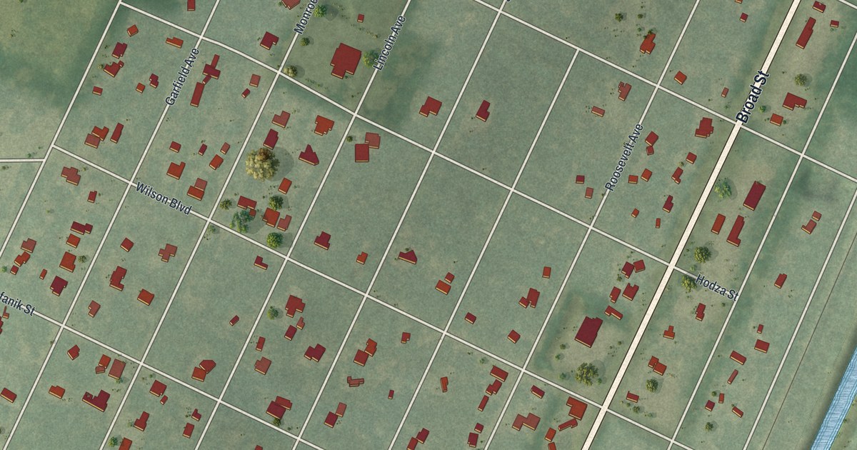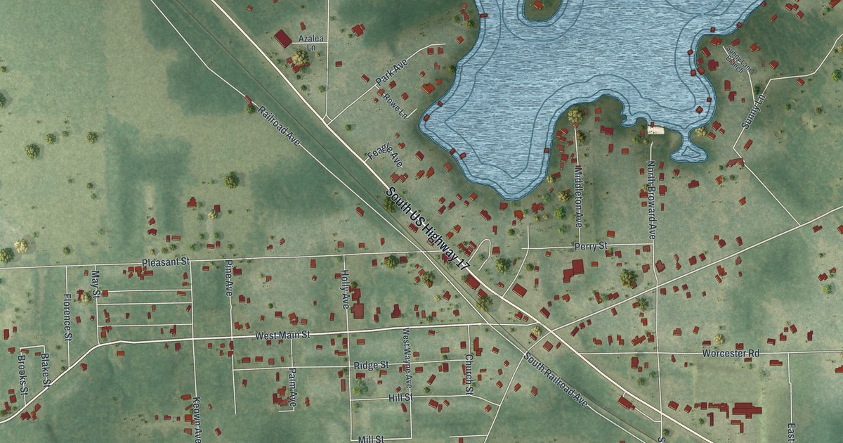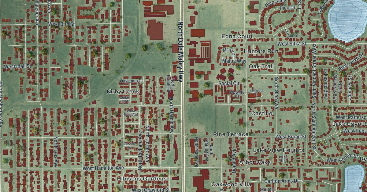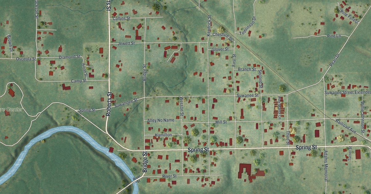
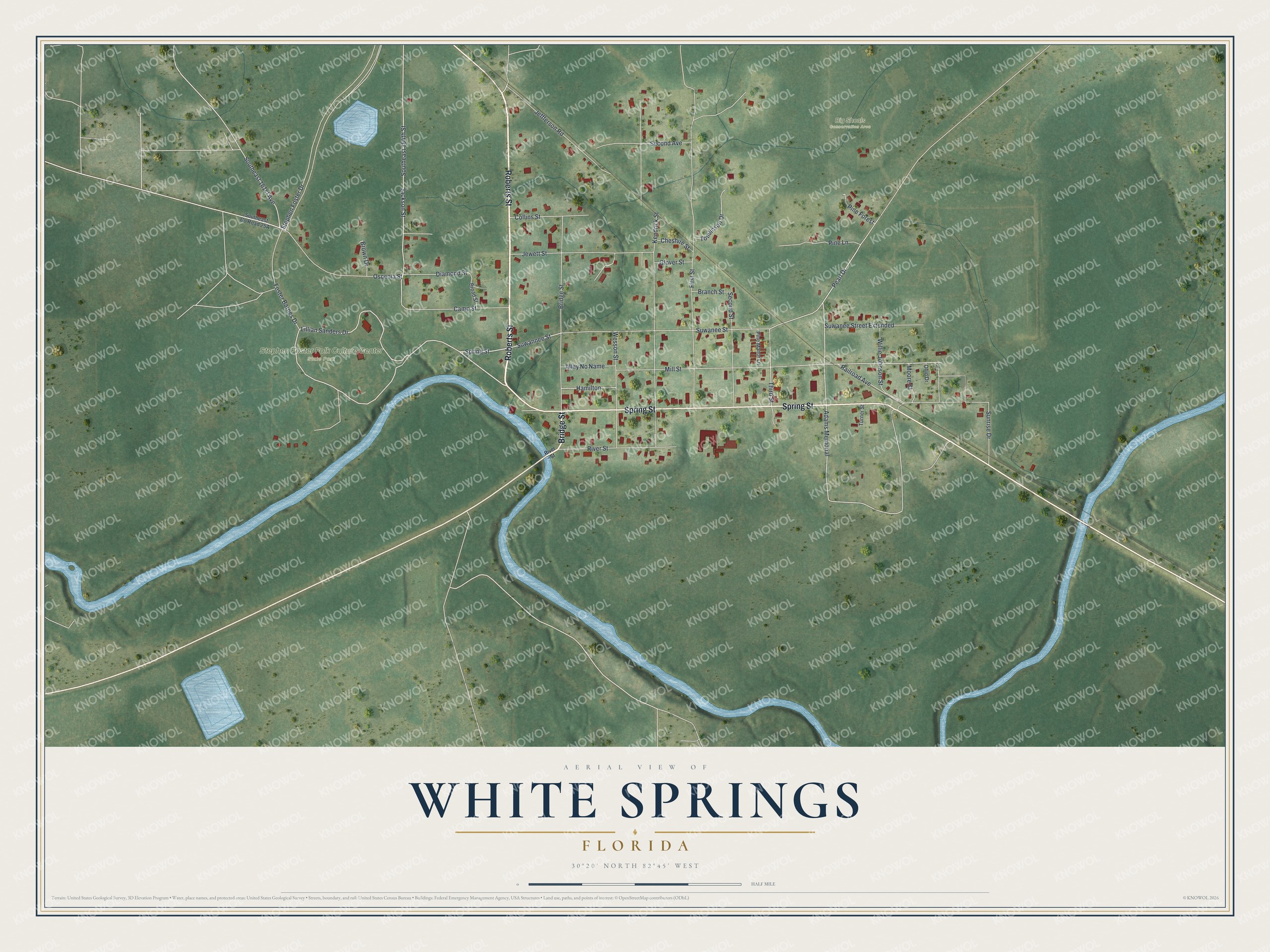
This beautifully detailed map of White Springs, Florida was created in 2026 using aerial imagery combined with modern topographical, census, street and landmark data. It’s a one-of-a-kind view of White Springs that combines accurate data with a vintage aesthetic. The map shows every building in its true location, many of the roads carry their names, and the shaded topographic relief shows the shape of the land.
Explore an aerial view of White Springs, Florida
On the map you’ll find Big Shoals Conservation Area and Stephen Foster Folk Culture Center State Park, along with Roberts Street, Bridge Street, Spring Street, Lillian Sanders Drive, Suwannee Street, and more. If you look closely you can even find your house accurately drawn in its correct location. Zoom in on the preview to look for yours.
Did You Know?
Native people held the springs sacred and marked trees in a five-mile circle around them. Warriors wounded in battle could rest here without fear of attack. In floods, the Suwannee River rises nearly 40 feet over the springs. So the bathhouse was built tall, with its top floor level with the street. That’s from the 1939 WPA guide to Florida.
Take a closer look at the White Springs map
Names on this map
These names are printed on this map.
Places: Big Shoals Conservation Area and Stephen Foster Folk Culture Center State Park.
Streets and roads: Roberts Street, Bridge Street, Spring Street, Lillian Sanders Drive, Suwannee Street, Mill Street, Adams Memorial, Pearl Drive, Southeast 161st Avenue, Jackson Street, Suwanee Street, Kendrick Street.
More street names, A to Z
Alley No Name, Branch Street, Broad Street, Brown Drive, Camp Street, Cheshire Street, Collins Street, Diamond Street, First Street, Foster Barnes Drive, Glover Street, Hamilton, Jeffferson Road, Jewett Street, Moore Street, Ohio Drive, Osceola Street, Pine Forest, Pine Lane, Pine Manor Lane, Railroad Avenue, River Street, Second Avenue, Second Street, Southeast 164th Street, Stephen Foster Drive, Sunrise Drive, Suwanee Street Extended, Third Street, Tomlinson Drive, Turner Street, Wesson Street, Willie Johnson Street.
See it on a wall
The White Springs map as a framed print. Swipe for more.


This beautifully detailed map of White Springs makes an attractive addition to your office, library, or den, and it can even be used to teach children the geography and history of the area. It also makes a great gift for anyone who grew up in White Springs or moved away. When you’re done exploring, click here to get your copy of the White Springs map.