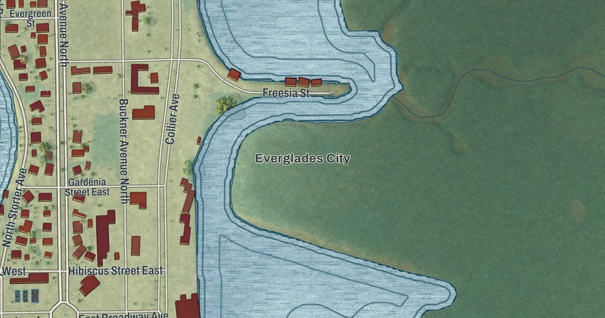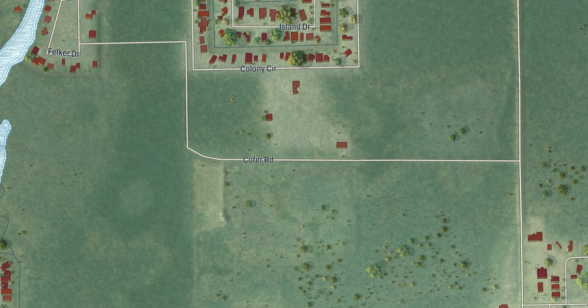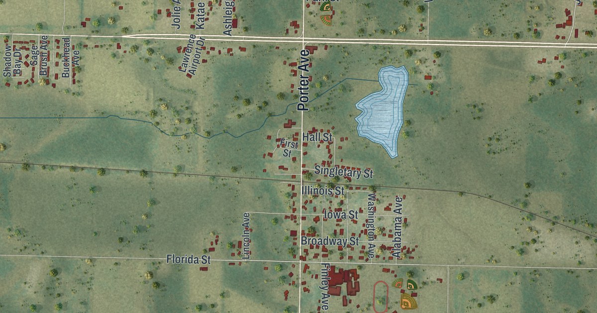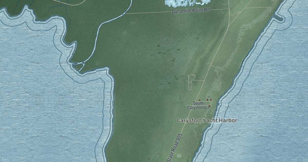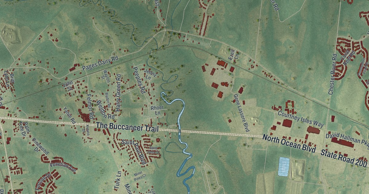
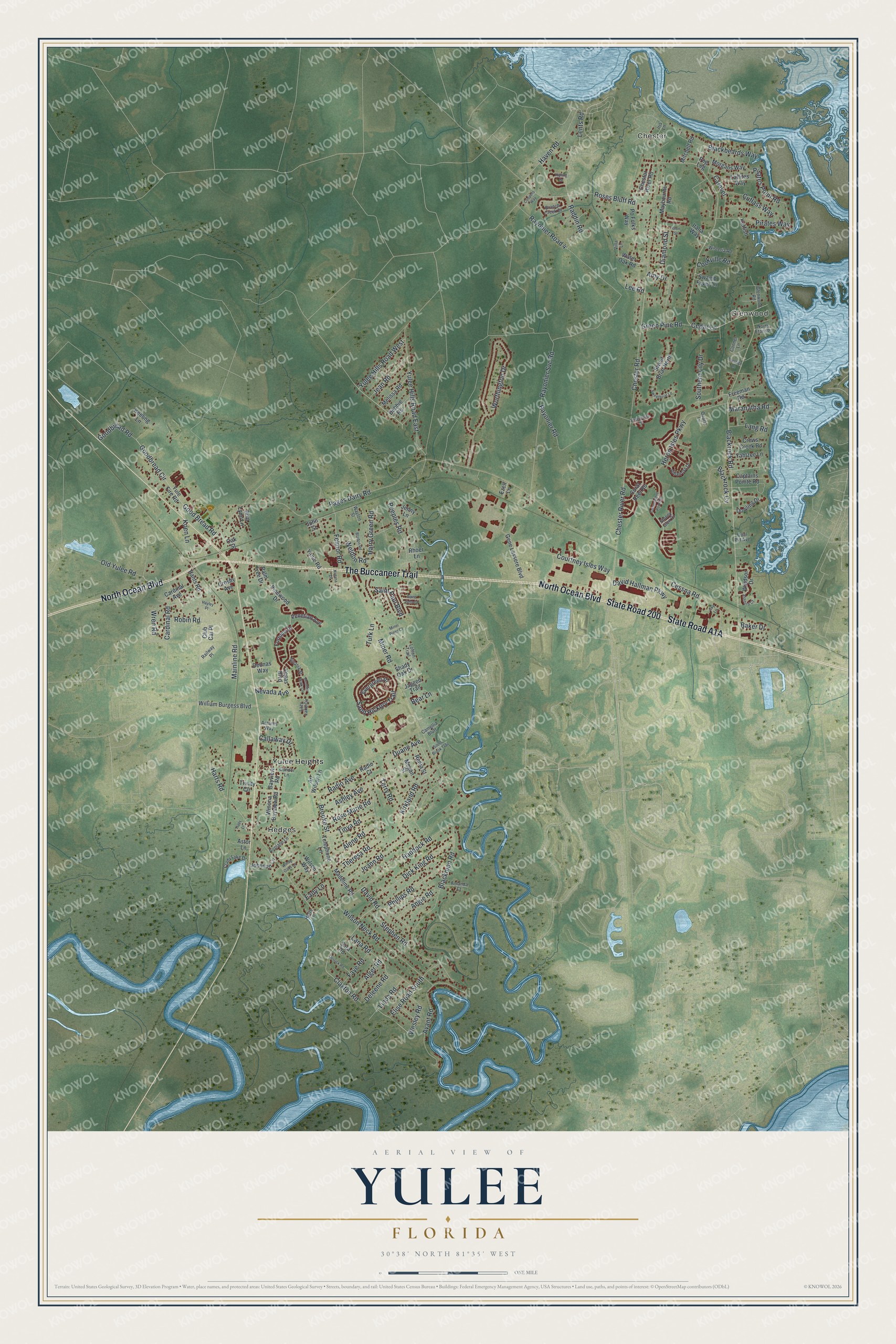
This beautifully detailed map of Yulee, Florida was created in 2026 using aerial imagery combined with modern topographical, census, street and landmark data. It's a modern aerial view of Yulee in Nassau County, Florida, that combines modern data with a vintage aesthetic. The roads feature printed names, and if you look closely you can find your exact house accurately shown in its correct location.
Explore an aerial view of Yulee, Florida
On this map you'll find Chester, Glenwood, Hedges, Yulee Heights, North Ocean Boulevard, State Road 200, State Road A1A, The Buccaneer Trail, Harts Road, Koen Lane, Yulee Hills Road East, Goodbread Circle, and more. Each red shape is a building, so zoom in on the preview and look for yours.
Yulee has a story worth telling. Yulee is named for David Levy Yulee, Florida's first U.S. senator. He was president of the Florida Railroad, the first line in Florida to link the Atlantic and the Gulf, finished at Cedar Key in March 1861, and he was nicknamed the Father of Florida's railroads. Construction began at Fernandina in 1855, and the finished line ran 156 miles. That's from the Florida Division of Historical Resources.
Yulee is a community in Nassau County. The Census Bureau counted 14,195 people here in 2020.
Take a closer look at the Yulee map
Names on this map
These names are printed on this map.
Places: Chester, Glenwood, Hedges and Yulee Heights.
Streets and roads: North Ocean Boulevard, State Road 200, The Buccaneer Trail, Harts Road, Koen Lane, Yulee Hills Road East, Goodbread Circle, Chester River Road, Jean Road, Cardinal Road, Blackrock Road, Yulee Hills Road West.
More street names, A to Z
Airplane Lane, Albatross Drive, Alene Road, Alger Road, Amanda Court, Amy Drive, Angie Road, Antares Way, Art Wilson Lane, Ashford Court, Ashley Avenue, Astor Lane, Avant Road, Baker Drive, Bayview Road, Bear Lane, Blackbeards Way, Blackmon Road, Blackrock Cv, Bladon Road, Branch Creek Drive, Breezeway Court, Britt Lynn Lane, Brooke Street, Callaway Drive, Camellia Bluff, Captains Pointe Road, Caravel, Cardinal Avenue, Cedar Lane, Cessna Road, Chestar River Road, Chester Road, Claxton Road, Club Car Place, Commodore Point Drive, Condor Lane, Conner Lane, Cookville Road, Coopers Way, Coral Reef Road, Courtney Isles Way, Crady Lake Drive, Crews Creek Road, Crosby Avenue, Cutlass Way, David Hallman Parkway, David Road, Debbie Road, Deleene Road, Deonas Way, Derrick Road, Diamond Street, Dick King Road, Dowling Drive, Duane Avenue, Eady Lane, Elise Road South, Evergreen Place, Ezell Lane, Faye Road, Felmor Road, Fortune Drive, Freeman Road, Gene Lassere Boulevard, Glen Street, Glenwood Road, Goodbread Road, Good Bread Road, Green Pine Road, Haddock Road, Halls Lane, Hants Road, Harry Green Road, Harts Lane, Haven Road, Hayley Place, Heron Isles Parkway, Iris Lane, Italia Way, Jagged Trail, Jenny Lane, Joann Road, Johnson Lane, John Street, Katfish, Keeling Lane, Kipling Drive, Kirkland Road, Kutana Drive, Laffites Way, Lana Road, Lang Road, Lazy Lake Circle, Lee Road, Lents Road, Linda Road, Lofton Trail, Madeline Road, Mainline Road, Maranatha Road, Maybourne Road, Megan Street, Melissa Road, Miner Pines Court, Miner Road, Mitchell Road, Moonlit Walk Circle, Morgans Way, Nevada Avenue, North Etarit Place, Oak Street, Old Yulee Road, Opal Pvt Avenue, Pages Dairy Road, Palm Tree Drive, Peeples Road, Peg Leg, Phillips Road, Pinewood Drive, Pirates Point Road, Pirates Way, Po Folks Way, Prestige Lane, Quartz Lane, Raddin Road, Radio Avenue, Radio Court, Railway Place, Rayonier Road, Rayonier Road 4, Rayonier Svc Road, Renia Street, Rhoer Lane, Robin Road, Rose Marie Road, Roses Bluff Road, Saint John Court, Saint Paul Boulevard, Sand Hickory Trail, Sara Road, Shady Oak Drive, Silent Brook Trail, Sinatra Street, Sky Lane, Southern Lily Drive, Stephen Road, Stoney Glen Court, Swamp Fever Lane, Sweetbriar Lane, Sweet Briar North, Telephone Lane, Terry Road, Theresa Road, Tinya Road, Trinity Circle, Turk Lane, Vegas Boulevard, Venetian Avenue, Villa Lane, Water Oak Road, Waylon Street, Weldon Road, Wesley Road, William Burgess Boulevard, Wilson Neck Road, Wilson Way, Windsor Drive, Windy Oaks Lane, Winona Bayview Road, Wisteria Road, Worthington Drive, Wren Road, Yahtzee Lane, Yanie Road, Yule Fire Road.
See it on a wall
The Yulee map as a framed print. Swipe for more.


Created by KNOWOL in 2026. The buildings are small red shapes, the roads carry their printed names, and shaded relief shows the shape of the land. The title panel reads "AERIAL VIEW OF YULEE, FLORIDA" with 30°38' NORTH 81°35' WEST.
It looks right in a kitchen, an office or a den, and it's a gift for anyone who grew up in Yulee or moved away. Open the preview and find your street. See sizes and frames for the Yulee map.