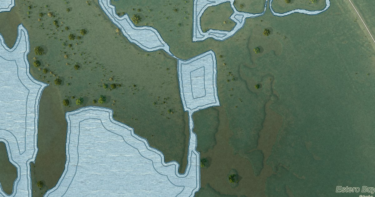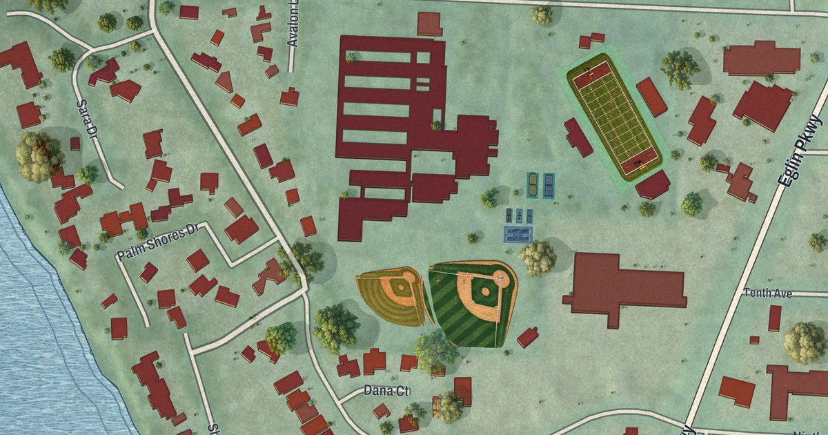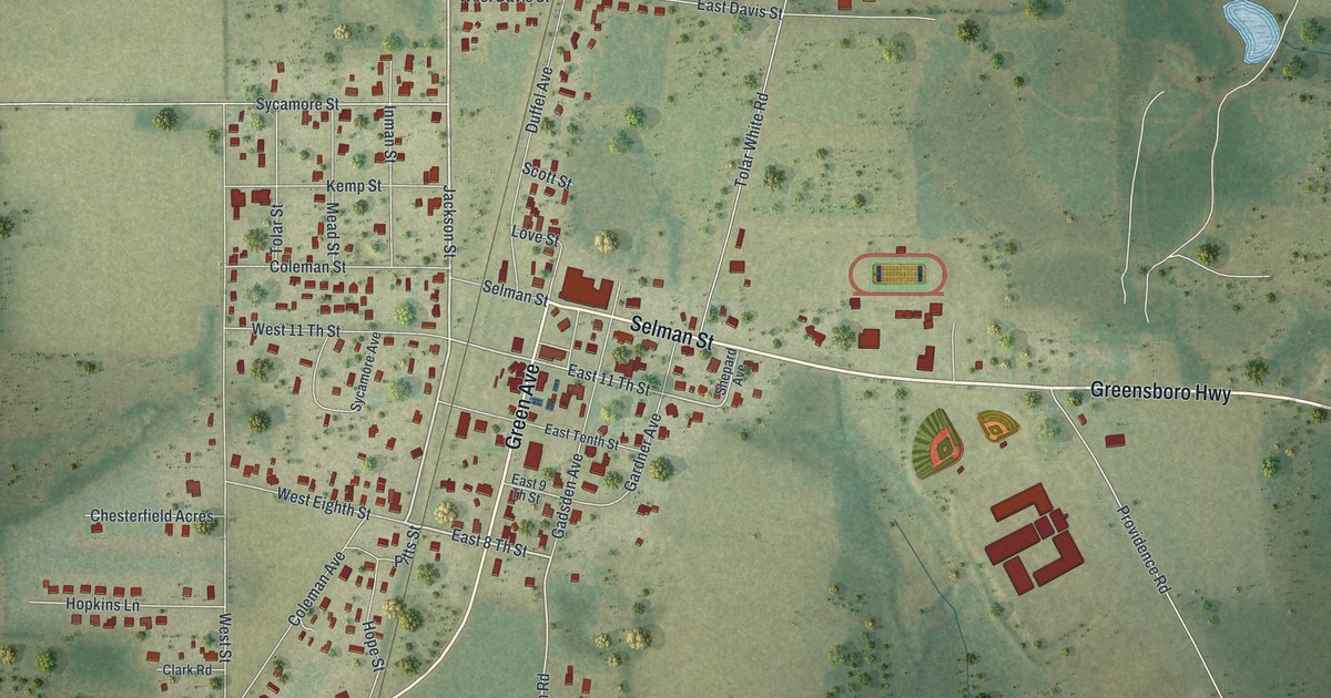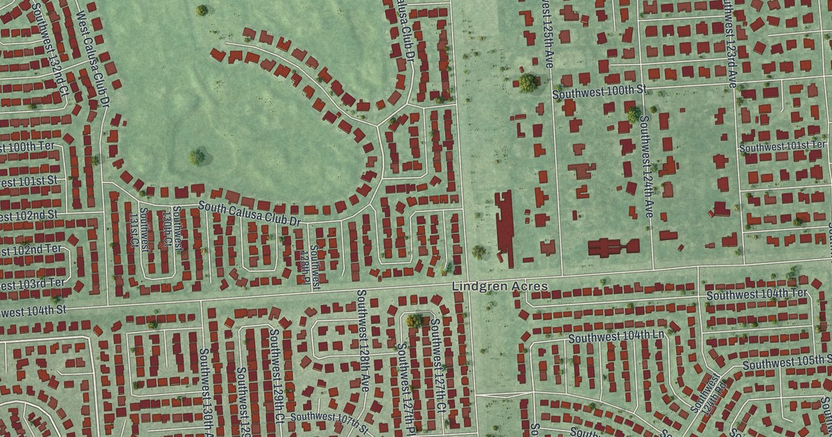
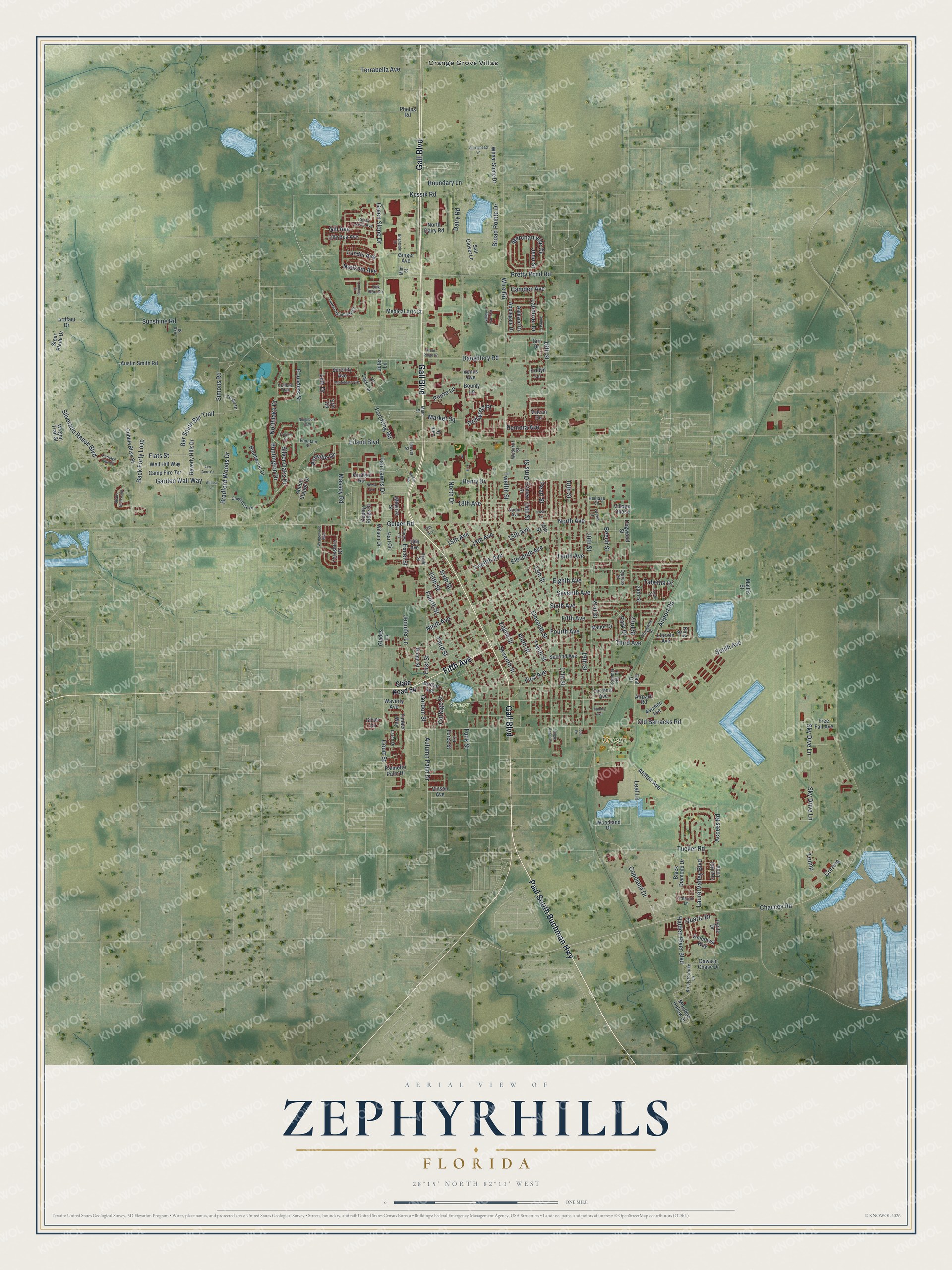
This beautifully detailed map of Zephyrhills, Florida was created in 2026 using aerial imagery combined with modern topographical, census, street and landmark data. It’s a one-of-a-kind view of Zephyrhills that combines accurate data with a vintage aesthetic. The map shows every building in its true location, many of the roads carry their names, and the shaded topographic relief shows the shape of the land.
Explore an aerial view of Zephyrhills, Florida
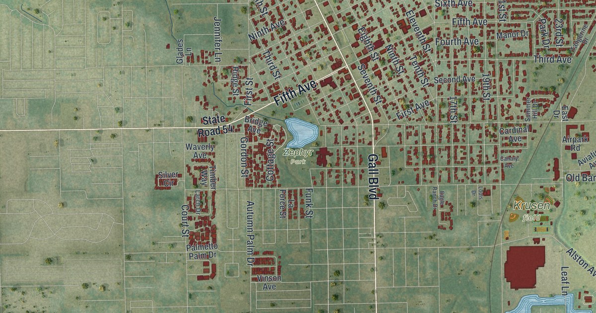
On the map you’ll find Zephyr Park, along with Paul South Buchman Highway, Gall Boulevard, Fifth Avenue, North Avenue, Geiger Road, and more. If you look closely you can even find your house accurately drawn in its correct location. Zoom in on the preview to look for yours.
Take a closer look at the Zephyrhills map
Names on this map
These names are printed on this map.
Places: Krusen Field, Zephyr Park and Orange Grove Villas.
Streets and roads: Paul South Buchman Highway, Gall Boulevard, Fifth Avenue, North Avenue, Geiger Road, Jennifer Lane, Eighth Street, Founders Street, North Drive, 16th Street, 20th Street, Sixth Avenue.
More street names, A to Z
13th Avenue, 13th Street, 14th Avenue, 14th Street, 15th Avenue, 15th Street, 16th Avenue, 17th Avenue, 17th Street, 18th Avenue, 18th Street, 19th Street, 21st Street, 23rd Street, 24th Street, Aaralyn Road, Abbott Station Drive, Access Road, Airpark Road, Airport Road, Alston Avenue, Althea Lane, Amethyst Way, Andre Road, Apollo Street, Applegate Drive, Arbor Ridge Drive, Artifact Drive, Ashland Drive, Ash Street, Ashville Drive, Austin Smith Road, Autumn Palm Drive, Aviation Avenue, Back Forty Loop, Bar South Bar Trail, Beech Street, Beverly Hills Drive, Black Diamond Drive, Boundary Lane, Bounty Lane, Bradford Woods Drive, Brentwood Drive, Bridge Avenue, Brightside Drive, Broad Pointe Drive, Camden Avenue, Cameo Street, Camp Fire Terrace, Canary Avenue, Cardinal Avenue, Carriage Pine Court, Chancey Road, Chariot Lane, Clubhouse Drive, Cobble Bliss Street, Cog Hill Loop, Copeland Drive, Corey Lewis Avenue, Correia, Cottage Street, Court Street, Cullens Trail, Cypress Street, Dairy Road, Daughtery Road, Dawson Chase Drive, Dogwood Street, Driftwood Place, Eagle Ranch Drive, East Drive, Eighth Avenue, Eiland Boulevard, Eleventh Avenue, Eleventh Street, Erin Circle, Evelyn Lane, Excel Street, Fair Lawns Drive, Fifth Street, First Avenue, First Street, Flats Street, Forest Lane, Fort King Road, Fountain Road, Fourth Avenue, Fourth Street, Foxrun Place, Free Fall Avenue, Funk Street, Garden Wall Way, Gill Avenue, Ginger Avenue, Glades Lane, Gordon Street, Green Drive, Green Slope Drive, Hart Circle, Henry Drive, Heritage Circle, Hidden River Boulevard, Hoover Street, Huntington Drive, Jeno Street, Jeter Lane, King Street, Kossik Road, Kresterbrooke Lane, La Force Street, Landing Place, Landis Avenue, Landover Drive, Lani Drive, Larch Drive, Laura Street, Laurel Hammock Drive, Laurel Valley Boulevard, Leaf Lane, Lilly Bea Avenue, Lincoln Avenue, Louis Drive, Lum Drive, Main Street, Manor Drive, Market Square, Martindale Avenue, Massey Road, Mathis Street, Medical Arts Court, Merchantville Circle, Minerva Street, Mint Street, Moulden Hollow Drive, Naomi Avenue, Neighbors Path, Neukom Avenue, Newal Avenue, Ninth Avenue, Ninth Street, North Dairy Road, Northlake Drive, Oak Run Circle, Old Barracks Road, Omega Court, Orris Street, Palmetto Palm Drive, Park Drive, Pearl Street, Phelps Road, Pierre Lane, Pretty Pond Road, Pyrite Drive, Quartz Drive, Remora Avenue, Ridge Street, Rose Lane, Sail Clover Lane, Second Avenue, Serenity Avenue, Seventh Avenue, Seventh Street, Shady Bluff Loop, Silverado Ranch Boulevard, Silver Circle, Silver Oaks Drive, Simons Road, Sixth Street, Sky Dive Lane, Sky Drive Lane, South Avenue, Springhead Lane, State Road 54, Steer Blade Drive, Summer Hill Drive, Sunshine Road, Tabetha Drive, Tangerine Drive, Tarr Drive, Ten Acre Court, Tenth Avenue, Tenth Street, Terrabella Avenue, Third Avenue, Third Street, Timber Way, Trump, Tucker Road, Twelfth Avenue, Twelfth Street, Valley Oaks Circle, Venus Avenue, Village Chase, Vinson Avenue, Vis Lago Lp, Vulcan Circle, Wagon Trail Street, Waverly Avenue, Wedgewood Boulevard, Well Hill Way, Wheat Stone Drive, Wilson Drive, Wire Road, Woodland Drive, Woodruff Street, Yesler Drive, Yorkshire Drive, Zephyr Ridge Drive.
See it on a wall
The Zephyrhills map as a framed print. Swipe for more.


This beautifully detailed map of Zephyrhills makes an attractive addition to your office, library, or den, and it can even be used to teach children the geography and history of the area. It also makes a great gift for someone who left Zephyrhills and still calls it home. When you’re done exploring, click here to get your copy of the Zephyrhills map.