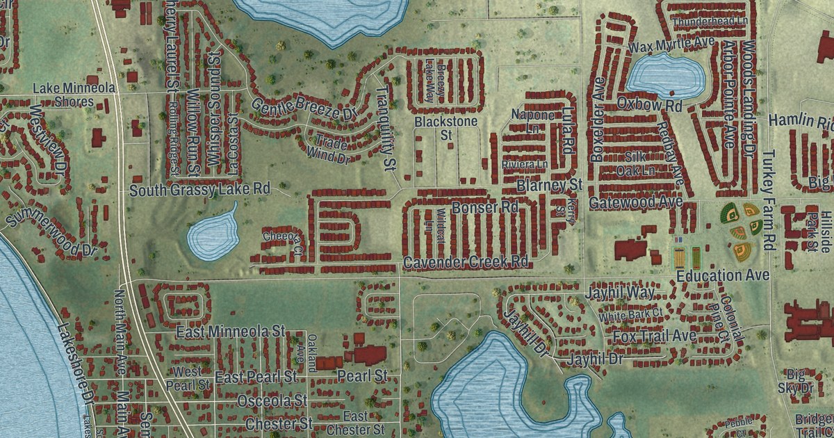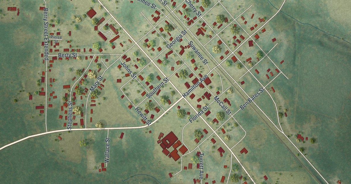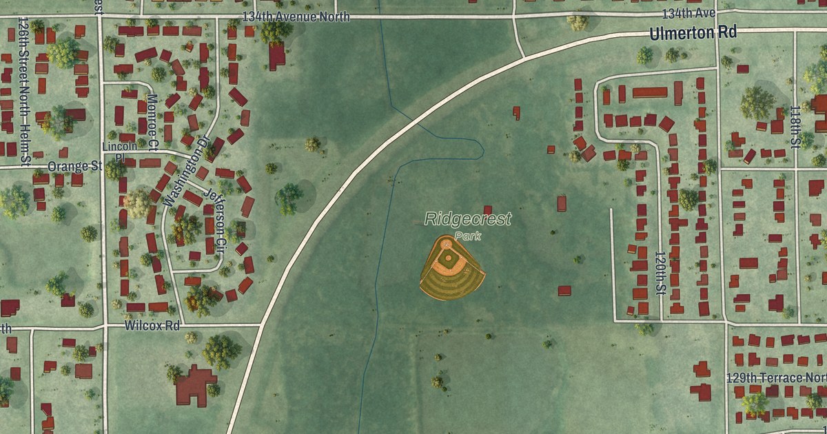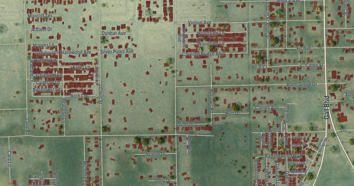
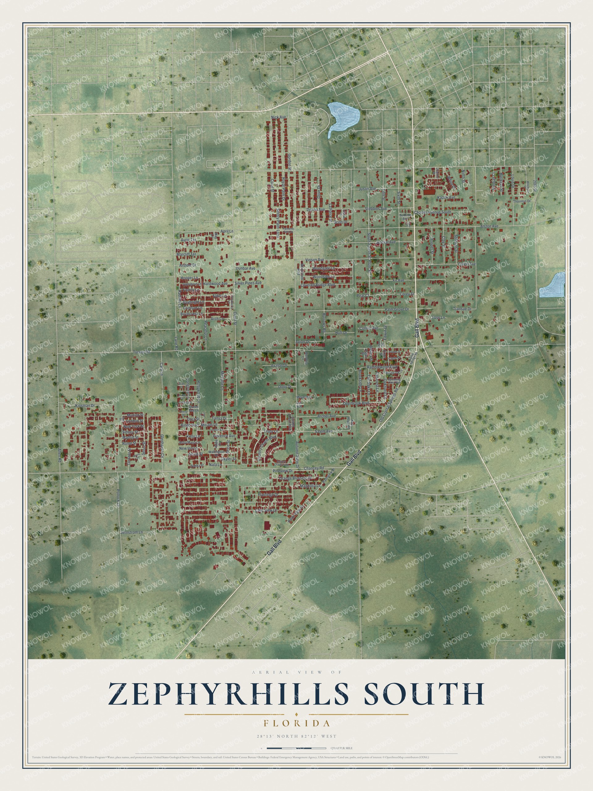
This beautifully detailed map of Zephyrhills South, Florida was created in 2026 using aerial imagery combined with modern topographical, census, street and landmark data. It's a modern aerial view of Zephyrhills South in Pasco County, Florida, that combines modern data with a vintage aesthetic. The roads feature printed names, and if you look closely you can find your exact house accurately shown in its correct location.
Explore an aerial view of Zephyrhills South, Florida
On this map you'll find Gall Boulevard, Trudy Lane, Tucker Road, Tanya Drive, Chancey Road, Hopper Lane, Old Crystal Springs Road, Radiant Lane, Corey Street, Plum Street, Magnolia Lane, Hardwood Avenue, and more. Each red shape is a building, so zoom in on the preview and look for yours.
Zephyrhills South is a community in Pasco County. The Census Bureau counted 4,985 people here in 2020. Zephyrhills South sits about 3 miles southwest of Zephyrhills North, 3 miles northwest of Crystal Springs and 5 miles southeast of Pasadena Hills. The map prints the town name in its title panel, with the coordinates below it.
Take a closer look at the Zephyrhills South map
Names on this map
These names are printed on this map.
Streets and roads: Gall Boulevard, Trudy Lane, Tucker Road, Tanya Drive, Chancey Road, Hopper Lane, Old Crystal Springs Road, Radiant Lane, Corey Street, Plum Street, Magnolia Lane, Hardwood Avenue.
More street names, A to Z
20th Street, Addie Drive, Alexis Street, Allen Road, Alston Avenue, Anna Maria Lane, April Lane, Archer Avenue, Arch Lane, Argyle Street, Ariel Lane, Arsteel Drive, Athens Street, Auric Terrace, Autumn Palm Drive, Avalon Drive, Avion Drive, Bingo Boulevard, Birchcrest Lane, Brice Street, Bristol Street, Brookside Lane, Buckeye Street, Burrows Road, Calvin Avenue, Cara Lane, Cat Avenue, Charles Avenue South, Charter Street, Clay Street, Clyde Drive, Collins Avenue, Coral Street, Country Charm Boulevard, Court Street, Covered Bridge Boulevard, Cozy Court, Crimson Lane, Crystal Springs Road, Cushina Street, Daybright Lane, Dixon Street, Dolly Drive, Donna Avenue, Dora Street, Dunbar Avenue, Eastern Charm Loop, Edwin Drive, Elder Lane, Erika Lane, Eton Street, Family Lane, Fifth Street, Fir Avenue, Flamingo Drive, Florence Avenue, Foss Lane, Frederick Avenue, Gadabout Lane, Gaines Street, Glenhaven Circle, Golden Charm Boulevard, Gordon Street, Hollywood Lane, Hooper Street, Huff Drive, Jendral Avenue, Jernstrom Lane, Joanne Drive, Justin Avenue, Kapok Avenue, Kells Lane, Kimball Court, Kinsman Drive, La Force Street, Lake View Drive, Lane Road, London Street, Longford Lane, Louis Drive, Madrid Street, Marcliff Terrace, May Lane, Mendota Lane, Meyer Avenue, Michelle Lane, Miriam Lane, Munich Street, Nala Lane, New Hope Road, New Inn Lane, New York Street, Nick Avenue, Ninth Street, Oakcrest Lane, Oakhurst Lane, Olive Drive, Orange Blossom Drive, Overbrook Boulevard, Palmetto Palm Drive, Palm Grove Drive, Palm View Drive, Palmview Drive, Paris Street, Peaceful Lane, Pear Court, Petrey Street, Pineview Drive, Pollock Lane, Queen Bee Lane, Ramblewood Boulevard, Rome Street, Royal Palm Drive, Salem Avenue, Scott Drive, Sentry Palm Loop, Seoul Street, Shining Oak Lane, Sidney Street, Silver Pines Avenue, Simba Street, Sixth Street, Skyler Street, South Fourth Street, Spreading Oaks Boulevard, Stebbins Avenue, Stillman Street, Strawberry Lane, Sunrise Avenue, Tall Oaks Lane, Thornton Drive, Toronto Street, Transue Drive, Vinson Avenue, Wallington Drive, Wesleyan Drive, White Drive, Woodgate Lane, Woodside Lane, Woodstock Boulevard, Zeta Lane.
See it on a wall
The Zephyrhills South map as a framed print. Swipe for more.


Created by KNOWOL in 2026. The buildings are small red shapes, the roads carry their printed names, and shaded relief shows the shape of the land. The title panel reads "AERIAL VIEW OF ZEPHYRHILLS SOUTH, FLORIDA" with 28°13' NORTH 82°12' WEST.
Hang it in the hallway, the office or the cabin, or give it to someone who left Zephyrhills South and still calls it home. Open the preview and look for a street you know. See sizes and frames for the Zephyrhills South map.