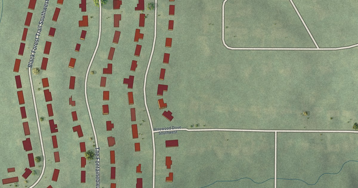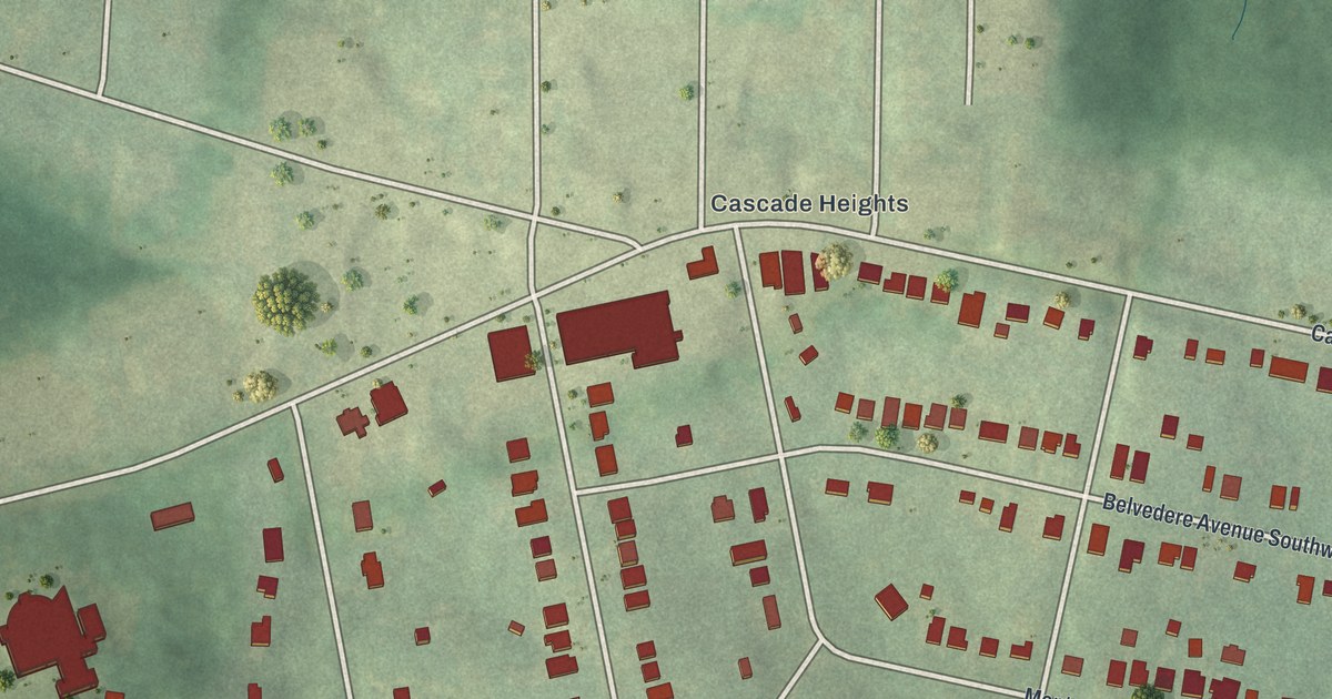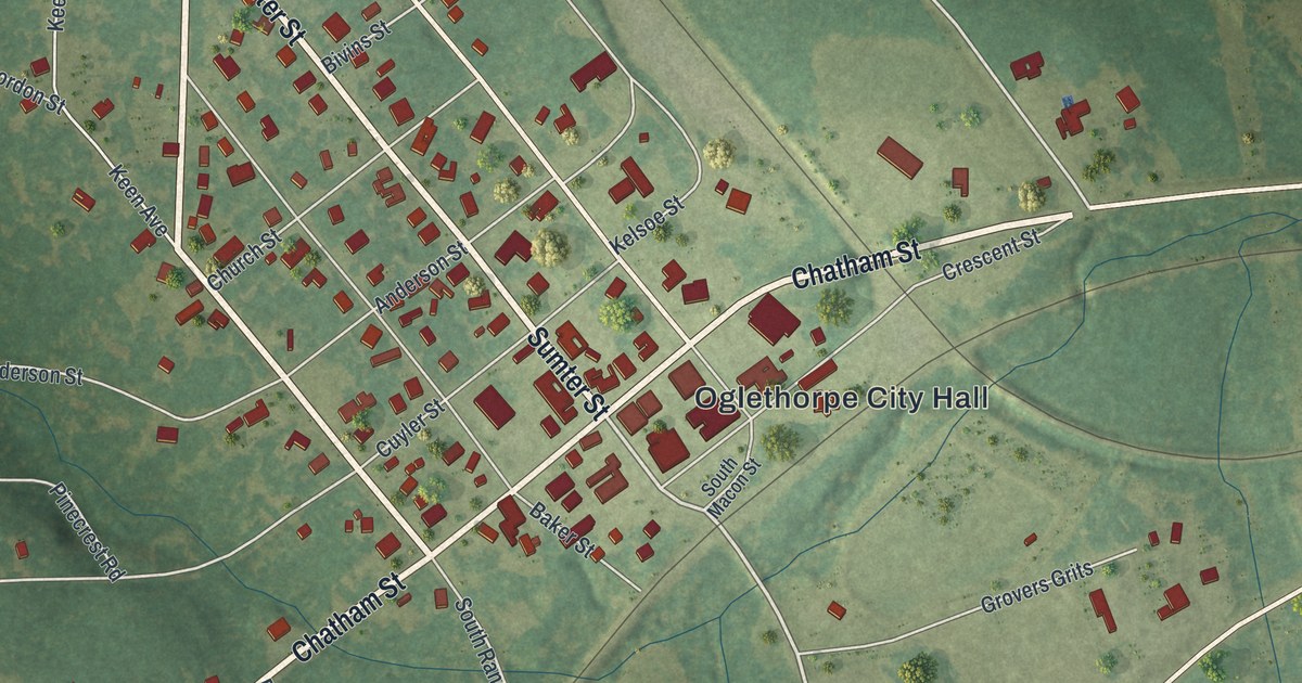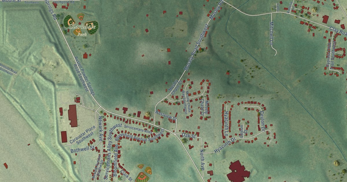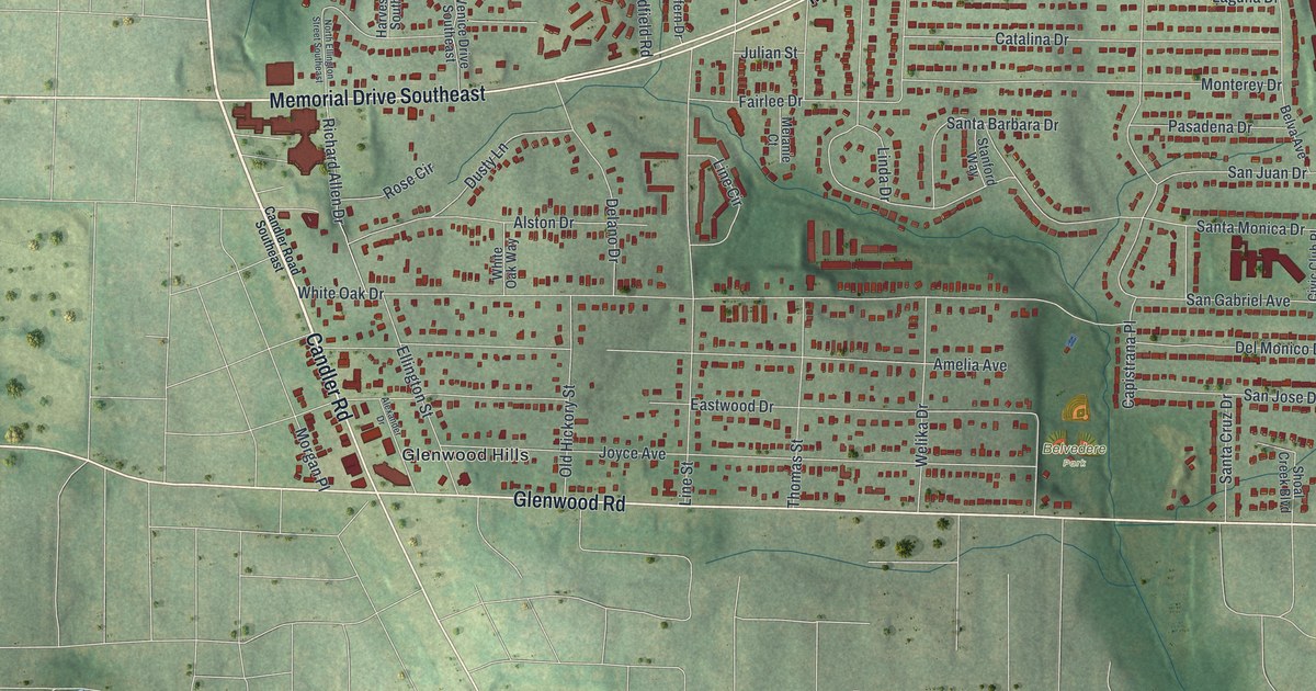
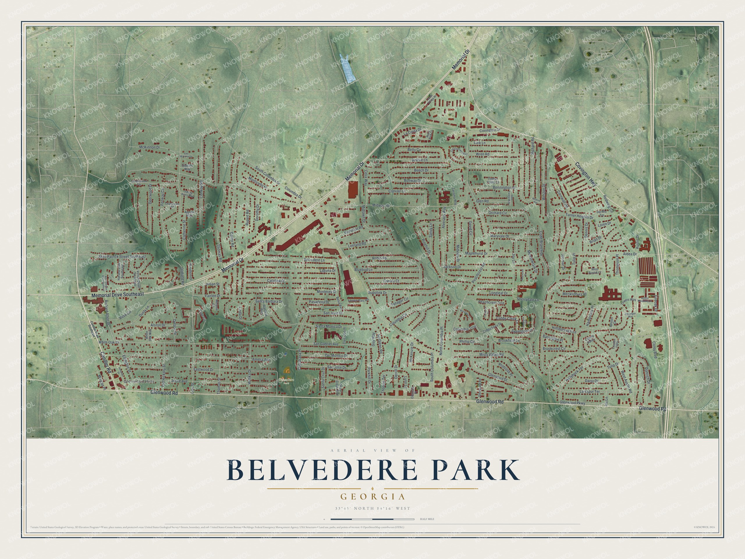
This beautifully detailed map of Belvedere Park, Georgia was created in 2026 using aerial imagery combined with modern topographical, census, street and landmark data. It’s a one-of-a-kind view of Belvedere Park that combines accurate data with a vintage aesthetic. The map shows every building in its true location, many of the roads carry their names, and the shaded topographic relief shows the shape of the land.
Explore an aerial view of Belvedere Park, Georgia
On the map you’ll find Glenwood Hills, along with Memorial Drive, Glenwood Road, Covington Highway, Candler Road, Midway Road, and more. If you look closely you can even find your house accurately drawn in its correct location. Zoom in on the preview to look for yours.
Did You Know?
Belvedere Park began in 1952 as a planned community with its own schools, parks and shopping center. In 1959, Rich’s opened its second department store branch at the Belvedere Shopping Center. Only the Lenox Square store came before it. Towers High School opened in 1963 and still operates.
Take a closer look at the Belvedere Park map
Names on this map
These names are printed on this map.
Places: Belvedere Park and Glenwood Hills.
Streets and roads: Memorial Drive, Glenwood Road, Covington Highway, Memorial Drive Southeast, Candler Road, Midway Road, Columbia Drive, Tulip Drive, Carter Road, West Austin Road, White Oak Drive, Brookcrest Circle.
More street names, A to Z
Aldea Drive, Alexander Drive, Alston Drive, Alverado Way, Amelia Avenue, Appian Way, Austin Drive, Austin Meadows Drive, Barrington Place, Beech Drive, Belva Avenue, Belvedere Lane, Bennington Drive, Betty Circle, Bluebird Lane, Bobbie Lane, Bobolink Drive, Bonway Drive, Brian Drive, Brookfield Lane, Canary Court, Candler Road Southeast, Capistrana Place, Catalina Drive, Catherine Street, Celia Way, Charlesgate Avenue, Civic Club Place, Cobb Branch Drive, Cobbs Creek Lane, Cobbs Ferry Drive, Columbia Circle, Columbia Trce, Convair Lane, Conway Road, Corey Boulevard, Cornwall Road, Covington Drive, Creekwood Terrace, Crescentwood Lane, Daisy Drive, Danrich Drive, David Circle, Deerwood Drive, Delano Drive, Del Monico Drive, Del Rio Terrace, Dennis Drive, Derrill Drive, Derringer Way, Dorothy Drive, Dusty Lane, East McKinnon Drive, Eastwood Drive, Ellington Street, Fairlee Drive, Fenway Circle, Fireoak Drive, Freedom Valley, Gilston Court, Glen Forest Way, Glen Road, Glensford Drive, Glenvale Place, Glenwood Parkway, Guy Way, Hamilton Road, Hampshire Place, Harvest Lane Southeast, Hillsborough Lane, Hollyhock Terrace, Iris Lane, Ivy Glenn Road, Jackson Drive, Janmar Drive, Joyce Avenue, Joy Lane, Julian Street, La Costa Drive, Laguna Drive, Lark Lane, Larkspur Terrace, Lauren Parc Road, Leeland Road, Liberty Valley, Linda Drive, Line Circle, Line Street, Longleaf Drive, Loren Drive, Lynn Lane, Maplehurst Drive, Maple Walk Circle, Maryvale Drive, McKenzie Drive, McKinnon Drive, Meadowlark Drive, Mecklinburg Place, Melanie Court, Midlawn Drive, Midview Drive, Misty Valley Road, Monterey Drive, Monticello Place, Morgan Place, North Columbia Place, North Ellington Street Southeast, North Village Drive, Oldfield Acres Way, Oldfield Road, Oldfield Way, Old Hickory Street, Orchard Circle, Parkhill Drive, Pasadena Drive, Peachcrest Court, Peachcrest Cv, Peachcrest Road, Peachcrest Trce, Phillip Circle, Pinehill Drive, Primrose Place, Redwing Circle, Richard Allen Drive, Richard Road, Robin Road, Rose Circle, Rupert Road, Saint Patrick Street Southeast, Sandy Lane, San Gabriel Avenue, San Jose Drive, San Juan Drive, Santa Barbara Drive, Santa Cruz Drive, Santa Monica Drive, Sherrydale Lane, Shoal Creek Boulevard, South Columbia Drive, South Columbia Place, Stanford Way, Sweetgum Hill, Sweetgum Lane, Tacoma Way, Tanager Circle, Thomas Road, Thomas Street, Thomas Terrace, Thompson Place, Timber Valley Court, Towers Way, Tulip Place, Turner Heights Drive, Venice Drive Southeast, Welika Drive, West Austin Court, Weston Drive, White Oak Way, Wicklow Way, Wild Flower Cv, Woodfern Drive, Wren Road.
See it on a wall
The Belvedere Park map as a framed print. Swipe for more.


This beautifully detailed map of Belvedere Park makes an attractive addition to your office, library, or den, and it can even be used to teach children the geography and history of the area. It also makes a great gift for anyone with Belvedere Park roots. When you’re done exploring, click here to get your copy of the Belvedere Park map.