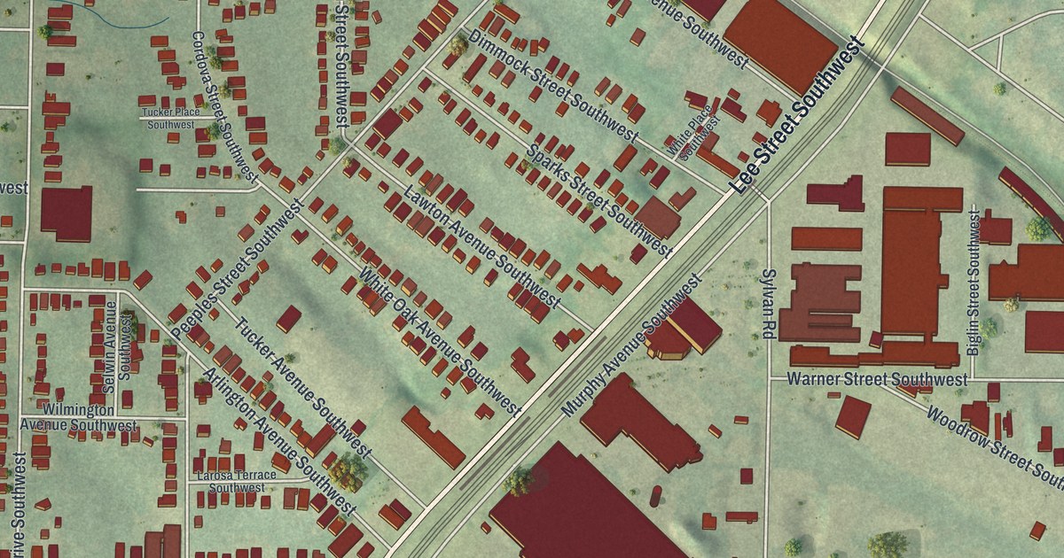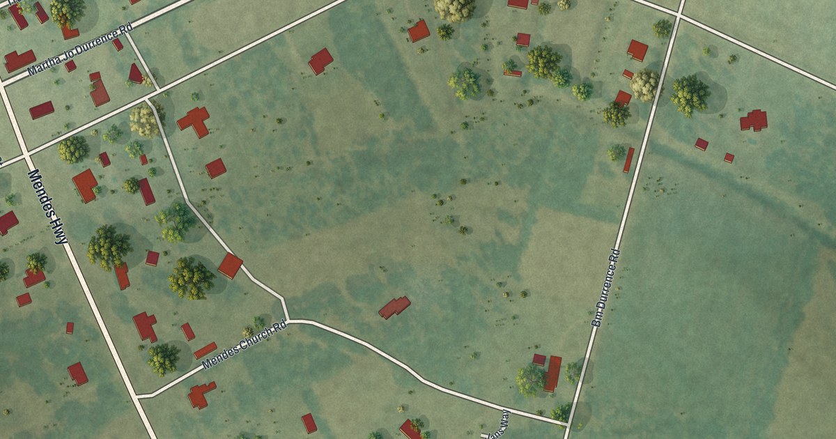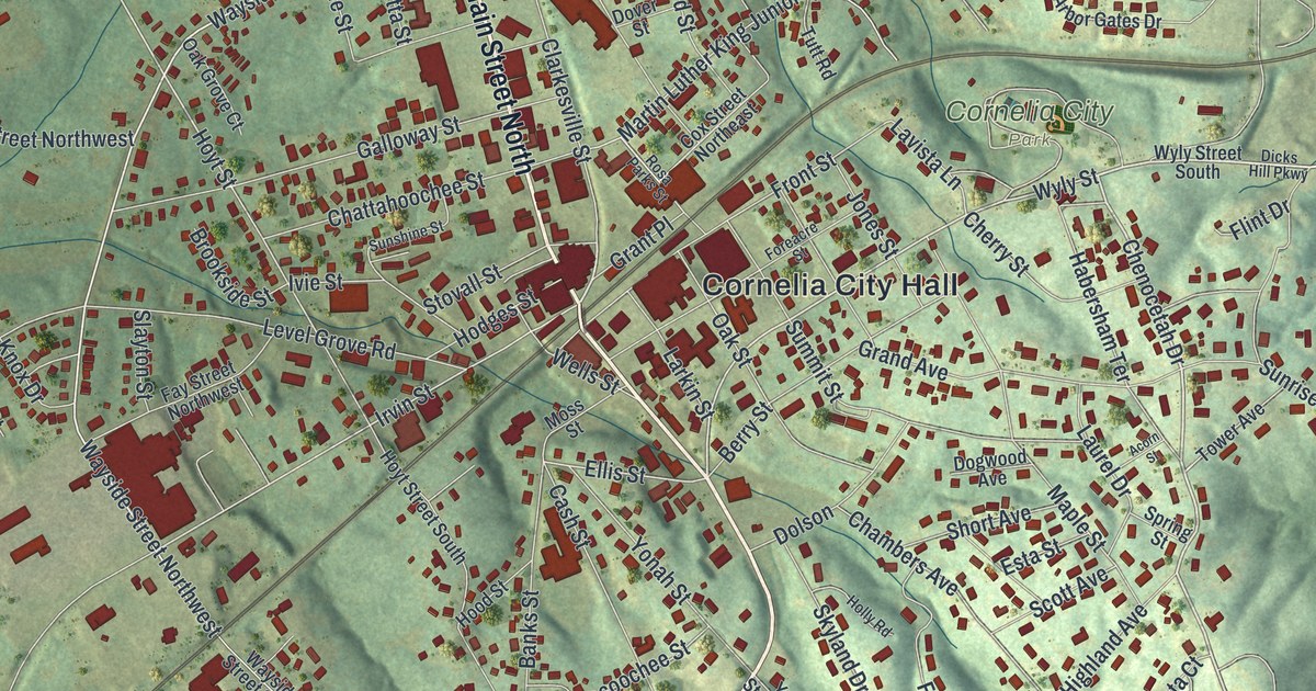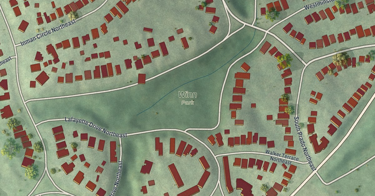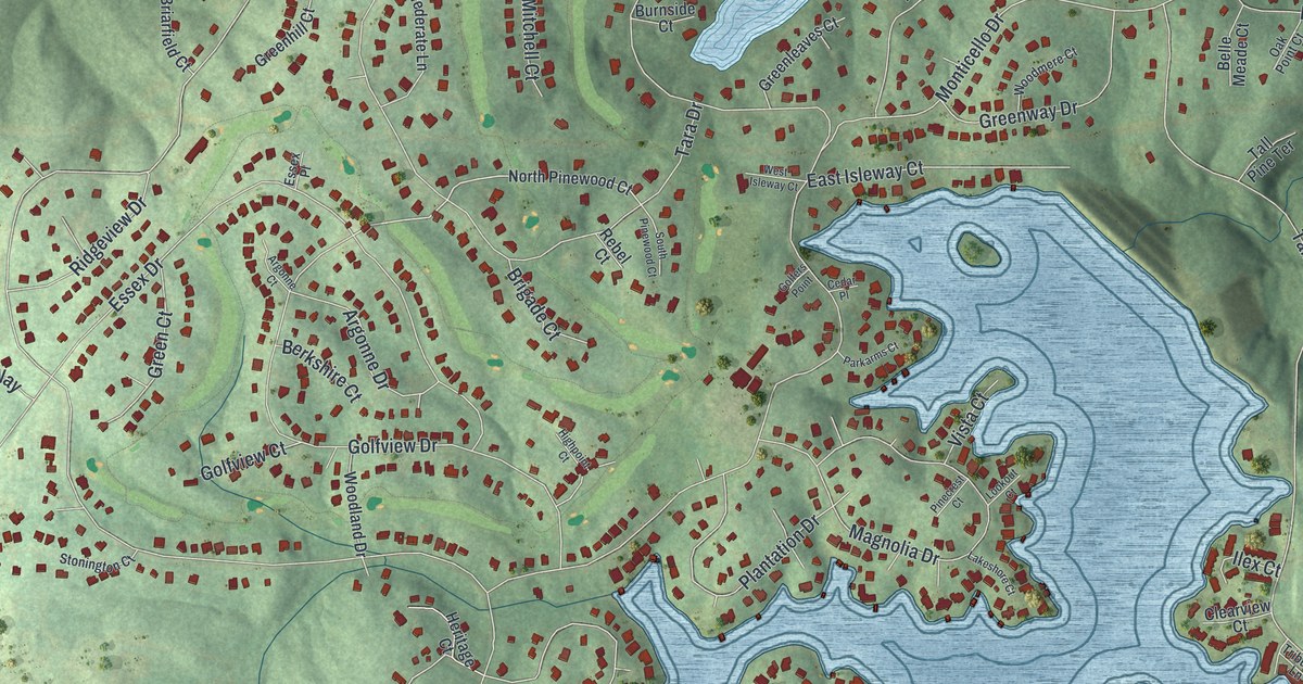
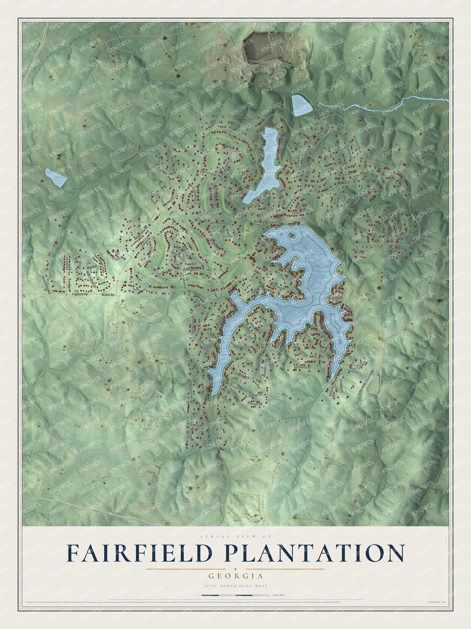
This beautifully detailed map of Fairfield Plantation, Georgia was created in 2026 using aerial imagery combined with modern topographical, census, street and landmark data. It's a modern aerial view of Fairfield Plantation in Carroll County, Georgia, that combines modern data with a vintage aesthetic. The roads feature printed names, and if you look closely you can find your exact house accurately shown in its correct location.
Explore an aerial view of Fairfield Plantation, Georgia
On this map you'll find North Gate Drive, Taylor Ridge Trail, Lakeview Parkway, Tara Drive, Monticello Drive, Essex Drive, Belle Meade Drive, Golfview Drive, Magnolia Drive, Ashton Drive, Woodmont Drive, Britton Drive, and more. Each red shape is a building, so zoom in on the preview and look for yours.
Fairfield Plantation is a community in Carroll County. The Census Bureau counted 4,898 people here in 2020. Fairfield Plantation sits about 4 miles northwest of Fairplay, 6 miles south of Villa Rica and 8 miles southeast of Temple. The map prints the town name in its title panel, with the coordinates below it.
Take a closer look at the Fairfield Plantation map
Names on this map
These names are printed on this map.
Streets and roads: North Gate Drive, Taylor Ridge Trail, Lakeview Parkway, Tara Drive, Monticello Drive, Essex Drive, Belle Meade Drive, Golfview Drive, Magnolia Drive, Ashton Drive, Woodmont Drive, Britton Drive.
More street names, A to Z
Abbotsford Drive, Alloway Drive, Amherst Drive, Argonne Court, Argonne Drive, Ayers Creek Court, Battle Drive, Belcourt Drive, Belle Meade Court, Berkshire Court, Berry Court, Briarfield Court, Briarwood Court, Brigade Court, Brookway Drive, Burford Court, Burnside Court, Carroll Court North, Carroll Court South, Cedar Court, Cedar Place, Centey Drive, Centry Drive, Cherokee Court, Clearview Court, Confederate Lane, Crockett Court, Cumberland Court, Dogwood Drive, East Foster Court, East Foster Place, East Isleway Court, East Stoneway Court, Essex Place, Evergreen Court, Fairfield Road, Fairmond Court, Fairoak Drive, Fisherman Court, Forest Court, Golfers Point, Golfview Court, Green Court, Greenhill Court, Greenhill Drive, Greenleaves Court, Greenway Drive, Hardwood Circle, Harper Court, Harper Drive, Heritage Court, Heritage Drive, Highpoint Court, Hilltop Drive, Holly Court, Ilex Court, Lakemond Court, Lakeshore Court, Lakeside Drive, Larchmond Court, Little Vine Church Road, Longleaf Court, Longleaf Drive, Lookout Court, Louise Lane, Melrose Court, Moss Ferry Road, North Mitchell Court, North Pine Cone Drive, North Pinewood Court, Oak Arms Drive, Oak Place, Oak Point Court, Ohara Court, Parkarms Court, Pine Cone Court, Pinecrest Court, Pine Place, Plantation Drive, Rebel Court, Ridgeview Drive, Ridgeview Lane, Sharondale Drive, Sheridan Court, Southern Drive, Southgate Drive, South Mitchell Court, South Pine Cone Drive, South Pinewood Court, Spruce Court, Stonington Court, Sweetbriar Drive, Tall Pine Court, Tall Pine Drive, Tall Pine Terrace, Tanglewood Court, Tarnwood Circle, Tarnwood Court, Tarnwood Drive, Tarnwood Lane, Tributary Lane, Vista Court, Wallis Road, Waverly Court, Wayfarer Drive, West Isleway Court, Willow Way, Woodcliff Drive, Woodlake Lane, Woodland Drive, Woodmere Court, Woodmond Drive.
See it on a wall
The Fairfield Plantation map as a framed print. Swipe for more.


Created by KNOWOL in 2026. The buildings are small red shapes, the roads carry their printed names, and shaded relief shows the shape of the land. The title panel reads "AERIAL VIEW OF FAIRFIELD PLANTATION, GEORGIA" with 33°39' NORTH 84°56' WEST.
It suits a den, a classroom or a front hall, and it makes a gift for anyone with Fairfield Plantation roots. Open the preview and find the block you know. See sizes and frames for the Fairfield Plantation map.