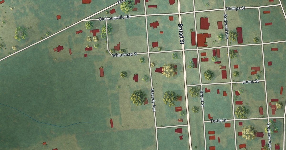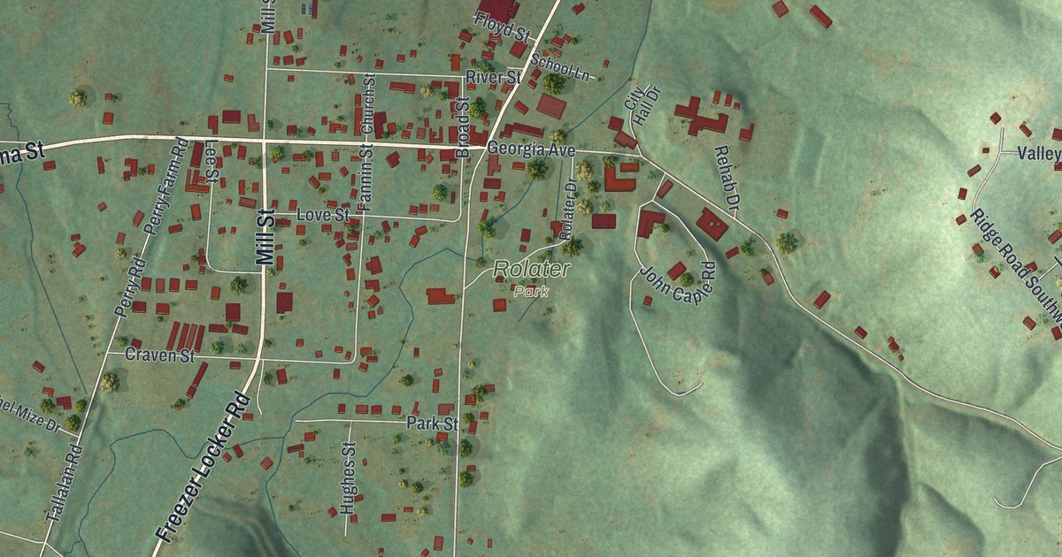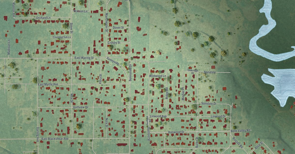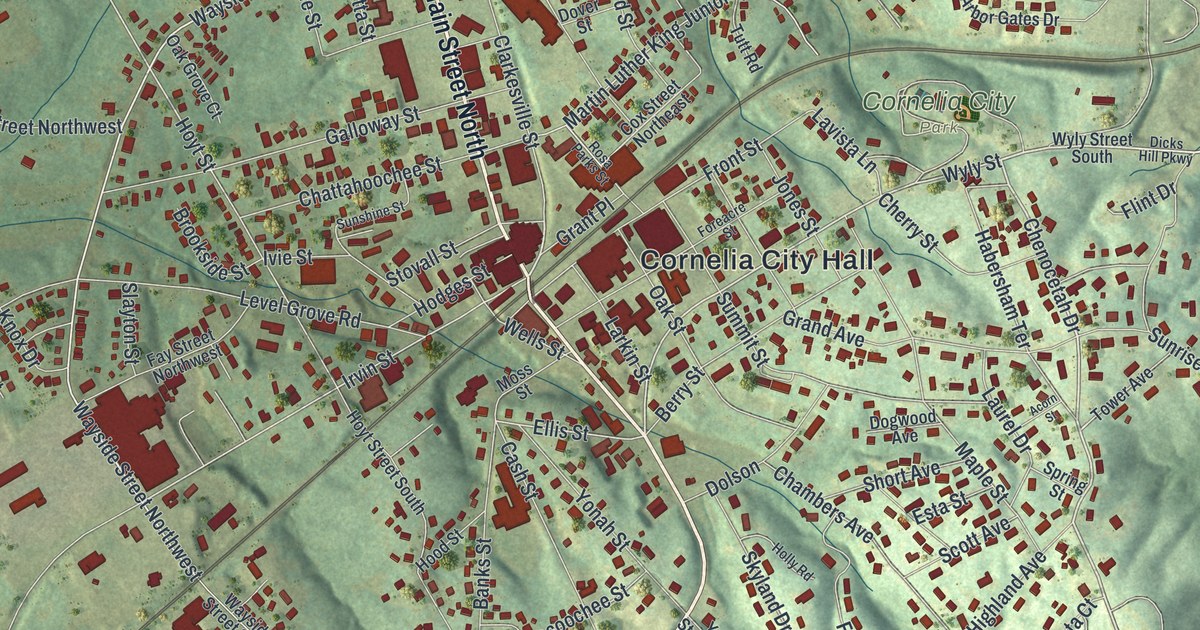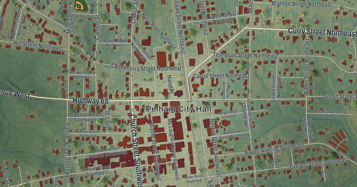
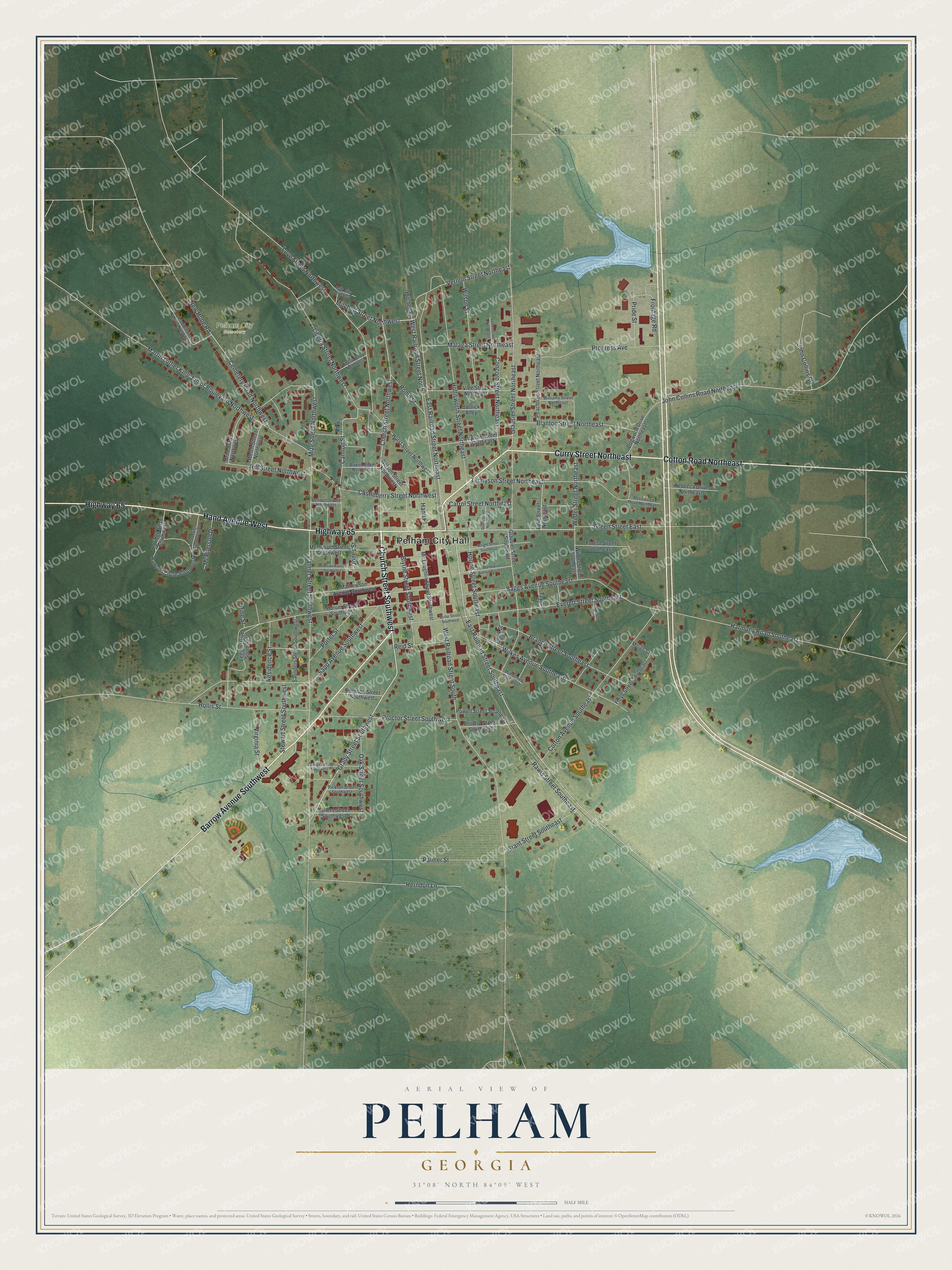
This beautifully detailed map of Pelham, Georgia was created in 2026 using aerial imagery combined with modern topographical, census, street and landmark data. It’s a one-of-a-kind view of Pelham that combines accurate data with a vintage aesthetic. The map shows every building in its true location, many of the roads carry their names, and the shaded topographic relief shows the shape of the land.
Explore an aerial view of Pelham, Georgia
On the map you’ll find Pelham City Hall and Pelham City Cemetery, along with Church Street, Curry Street, Hand Avenue, Barrow Avenue, and more. If you look closely you can even find your house accurately drawn in its correct location. Zoom in on the preview to look for yours.
Did You Know?
Pelham began in 1870, when J. L. Hand set up a sawmill and turpentine business here. The settlement that grew around it was incorporated in 1881. It was named for Major John Pelham, who commanded Jeb Stuart’s Horse Artillery while still in his teens. That’s from the 1940 WPA guide to Georgia.
Take a closer look at the Pelham map
Names on this map
These names are printed on this map.
Places: Pelham City Hall and Pelham City Cemetery.
Streets and roads: Church Street Southwest, Curry Street Northeast, Hand Avenue West, Highway 65, Barrow Avenue Southwest, Cotton Road Northeast, Grady Street Southwest, Green Street East, East Railroad Street Southeast, Mitchell Street Northwest, Church Street Northwest, John Collins Road Northeast.
More street names, A to Z
Aldridge Street Southwest, Baggs Avenue Southeast, Bennett Street Northwest, Blanton Street Northeast, Blythe Street Southwest, Bostick Alley, Bowen Street Northwest, Branch Street Southeast, Brim Street Northwest, Burum Street Southwest, Butler Street Southwest, Cannon Street, Carrol Street Northeast, Castleberry Street Northwest, Cemetery Road Northwest, Clark Street, College Street Southwest, Concord Street Northeast, Cotton Avenue Southeast, David Street Northeast, Dogwood Drive Northeast, East Railroad Street Northeast, Everett Street Southeast, Floyd Street Southeast, Forest Street Southeast, Frontage Road, Glausier Street Northeast, Glausier Street Southeast, Grant Street Southeast, Hand Place, Harmony Road Southeast, Herndon Lane, Hill Street Northwest, Hollis Street, Hollisworth Street Northeast, Horton Street Southeast, Hurst Street Northwest, James Street Northeast, John Collins Road, Jones Street, Kelly Alley Northwest, Lake Street Northeast, Lee Williams Drive Northwest, Legion Drive Southwest, Liberia Alley Northwest, Liberia Street Northwest, Love Street Northwest, Malaga Street Northeast, Martin Luther King Junior Boulevard Northwest, Mathewson Avenue Southeast, Mathewson Avenue Southwest, McDonald Street Southwest, Mc Laughlin Street Southwest, McPherson Drive, Meigs Street, Mill Street Southeast, Mitchell Street, Mize Street Northwest, Nelson Street Northwest, New Hope Road, North Legion Drive Southwest, Oak Street Southwest, Palmer Street, Palmer Street Southwest, Peachtree Street Northeast, Pickron Street Southwest, Pine Street, Porter Street, Powell Street Southeast, Pride Street, Primitive Avenue Southwest, Proctor Street Southeast, Proctor Street Southwest, Progress Avenue, Rawls Street Southeast, Rawson Circle Southwest, Rebecca Drive Northeast, Reid Street, Residence Street, Rome Street, Rosewood Drive Northeast, Sapp Avenue Southwest, Saunders Street Southwest, Sellers Street Southwest, Simpson Street Southwest, Spence Street, Stewart Street Southwest, Taylor Street, Tennyson Street Northeast, Upson Street Northeast, Vernon Street Northeast, Vine Street Northeast, Virginia Street, Welch Street Northwest, West Railroad Street North, West Railroad Street South, Wilder Street Northeast, Wilder Street Southeast, Wilkes Avenue Southeast, Williams Street Northeast, Wilson Street, Wright Street Southeast.
See it on a wall
The Pelham map as a framed print. Swipe for more.


This beautifully detailed map of Pelham makes an attractive addition to your office, library, or den, and it can even be used to teach children the geography and history of the area. It also makes a great gift for anyone with Pelham roots. When you’re done exploring, click here to get your copy of the Pelham map.