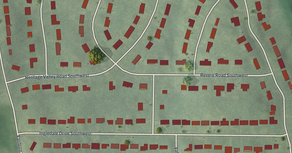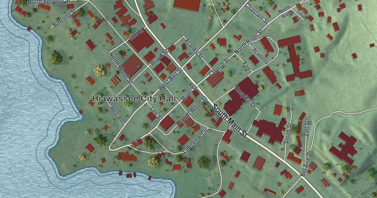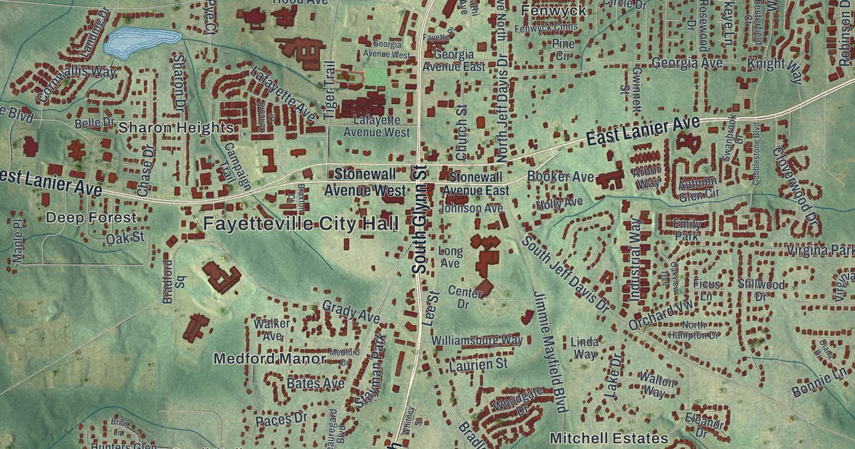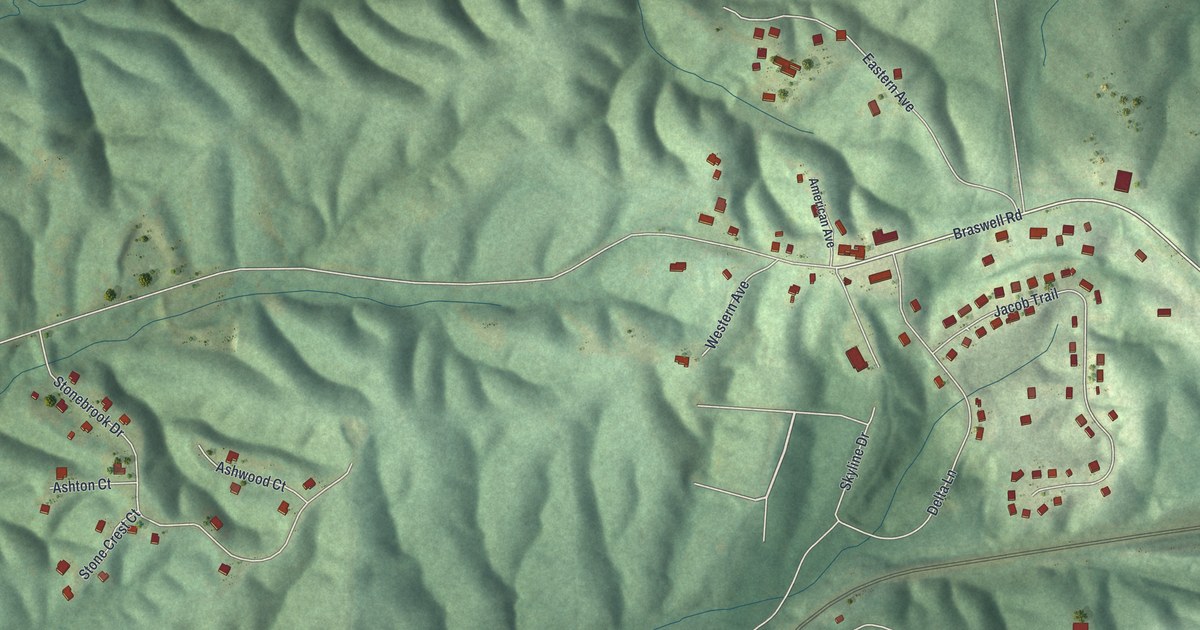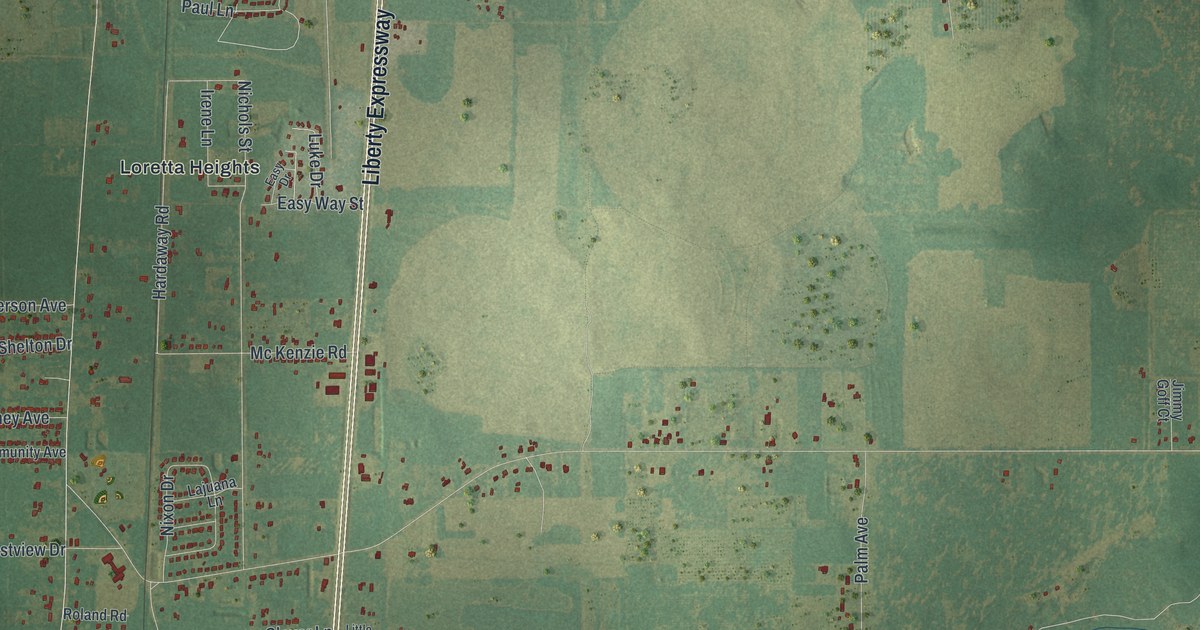
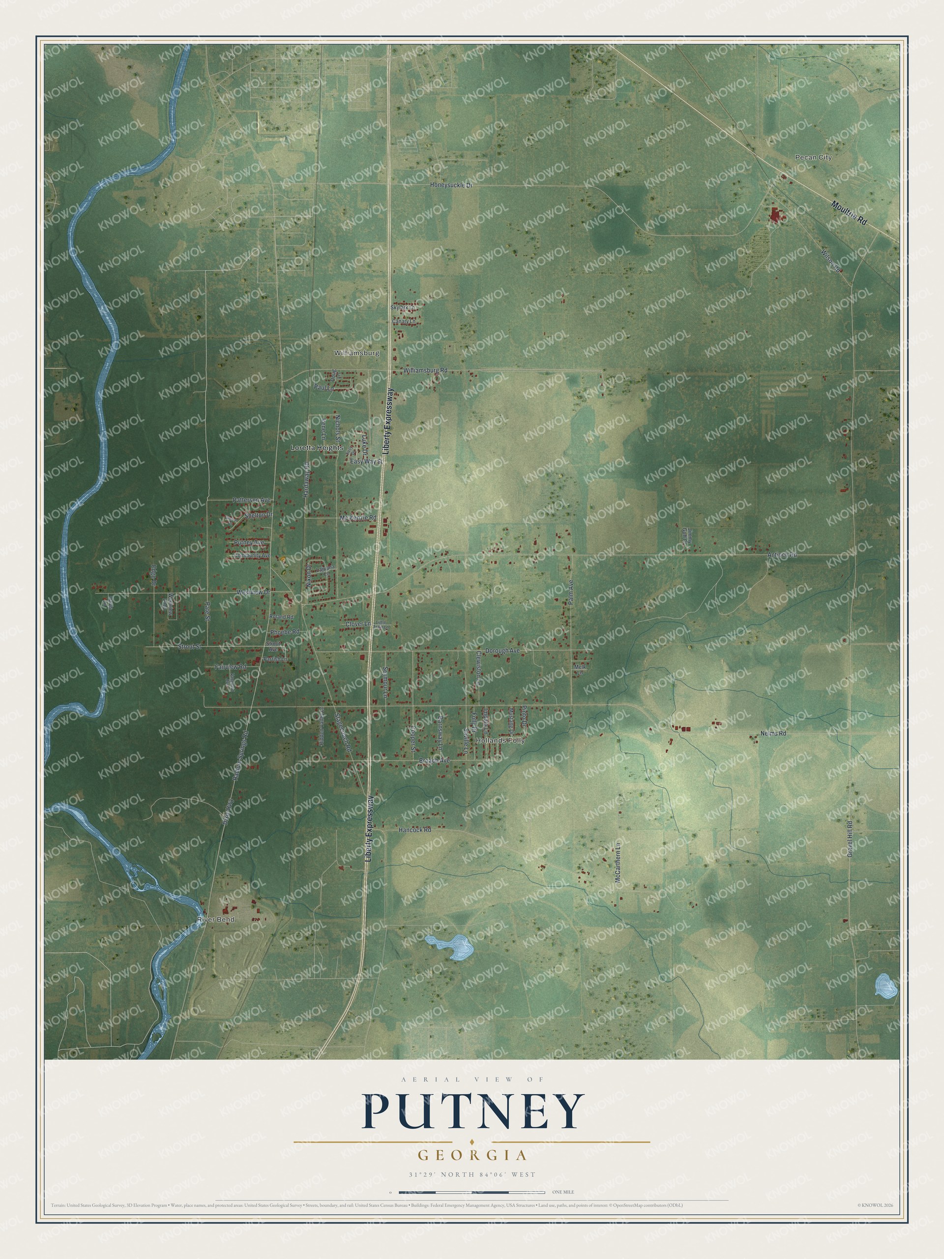
This beautifully detailed map of Putney, Georgia was created in 2026 using aerial imagery combined with modern topographical, census, street and landmark data. It’s a one-of-a-kind view of Putney that combines accurate data with a vintage aesthetic. The map shows every building in its true location, many of the roads carry their names, and the shaded topographic relief shows the shape of the land.
Explore an aerial view of Putney, Georgia
On the map you’ll find River Bend, Pecan City, Williamsburg, Hollands Folly, and Loretta Heights, along with Liberty Expressway, Moultrie Road, Strout Street, Williamsburg Road, Paul Lane, Gravel Hill Road, Nelms Road, and more. If you look closely you can even find your house accurately drawn in its correct location. Zoom in on the preview to look for yours.
Did You Know?
Putney takes its name from Francis F. Putney, who was born in England in 1837 and held large plantation interests in Dougherty County and the counties around it. The community grew up about eight miles south of Albany. That's from the book Georgia Place-Names by Kenneth Krakow.
Take a closer look at the Putney map
Names on this map
These names are printed on this map.
Places: River Bend, Pecan City, Williamsburg, Hollands Folly and Loretta Heights.
Streets and roads: Liberty Expressway, Moultrie Road, Strout Street, Williamsburg Road, Paul Lane, Gravel Hill Road, Nelms Road, Antioch Road, Dixie Highway, Radium Springs Road, Honeysuckle Drive, Hancock Road.
More street names, A to Z
Barnsway Lane, Broach Avenue, Canary Lane, Clewiston Lane, Clover Lane, Community Avenue, Cooper Street, Davis Lane, Dorough Avenue, Doug Lane, Easy Drive, Easy Way Street, Edge Drive, Fairview Road, Folly Drive, Hardaway Road, Hidden Valley Lane, Impala Lane, Irene Lane, Jimmy Goff Court, Lajuana Lane, Little Train Lane, Luke Drive, McCarthern Lane, Mc Kenzie Road, Melk Lane, Mustang Drive, Nichols Street, Nixon Drive, Palm Avenue, Parrish Lane, Pate Street, Patterson Avenue, Phoebe Road, Pinto Drive, Putney Avenue, Roland Road, Saville Lane, Seymour Lane, Shelton Court, Shelton Drive, Skylark Lane, Stagecoach Road, Strout Avenue, Vanguard Avenue, Westview Drive, Westview Loop, Wilson Road.
See it on a wall
The Putney map as a framed print. Swipe for more.


This beautifully detailed map of Putney makes an attractive addition to your office, library, or den, and it can even be used to teach children the geography and history of the area. It also makes a great gift for anyone who grew up in Putney or moved away. When you’re done exploring, click here to get your copy of the Putney map.