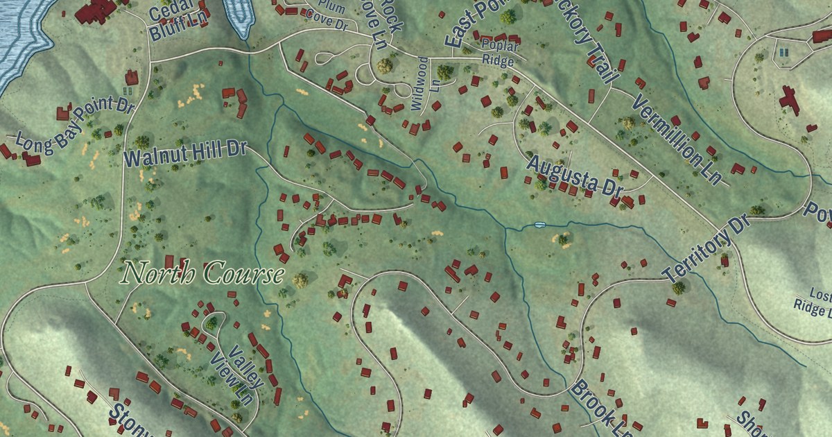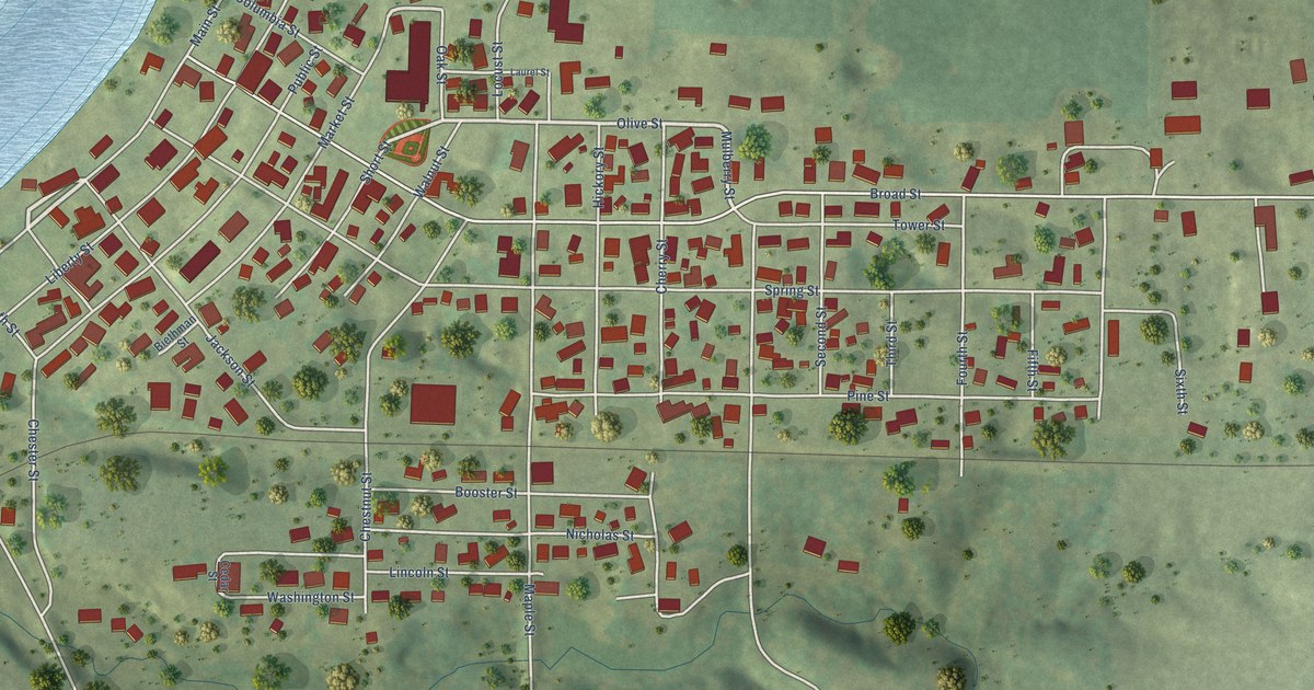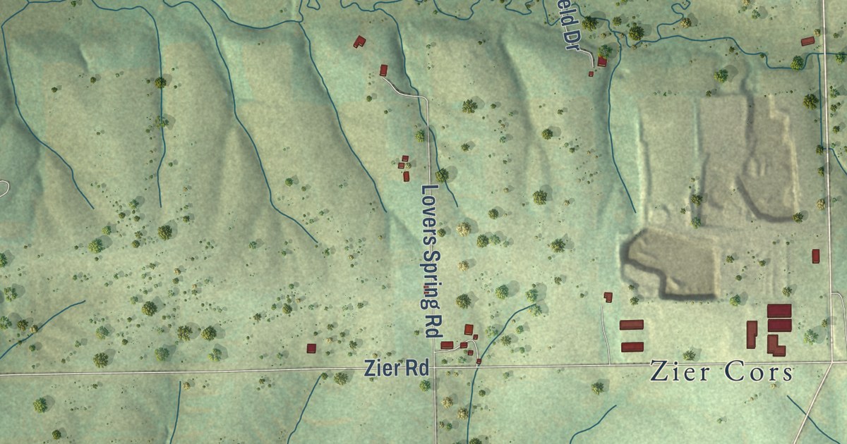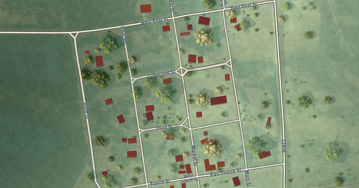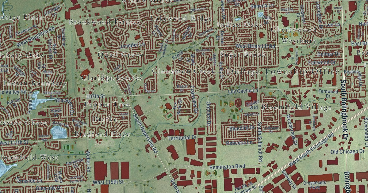
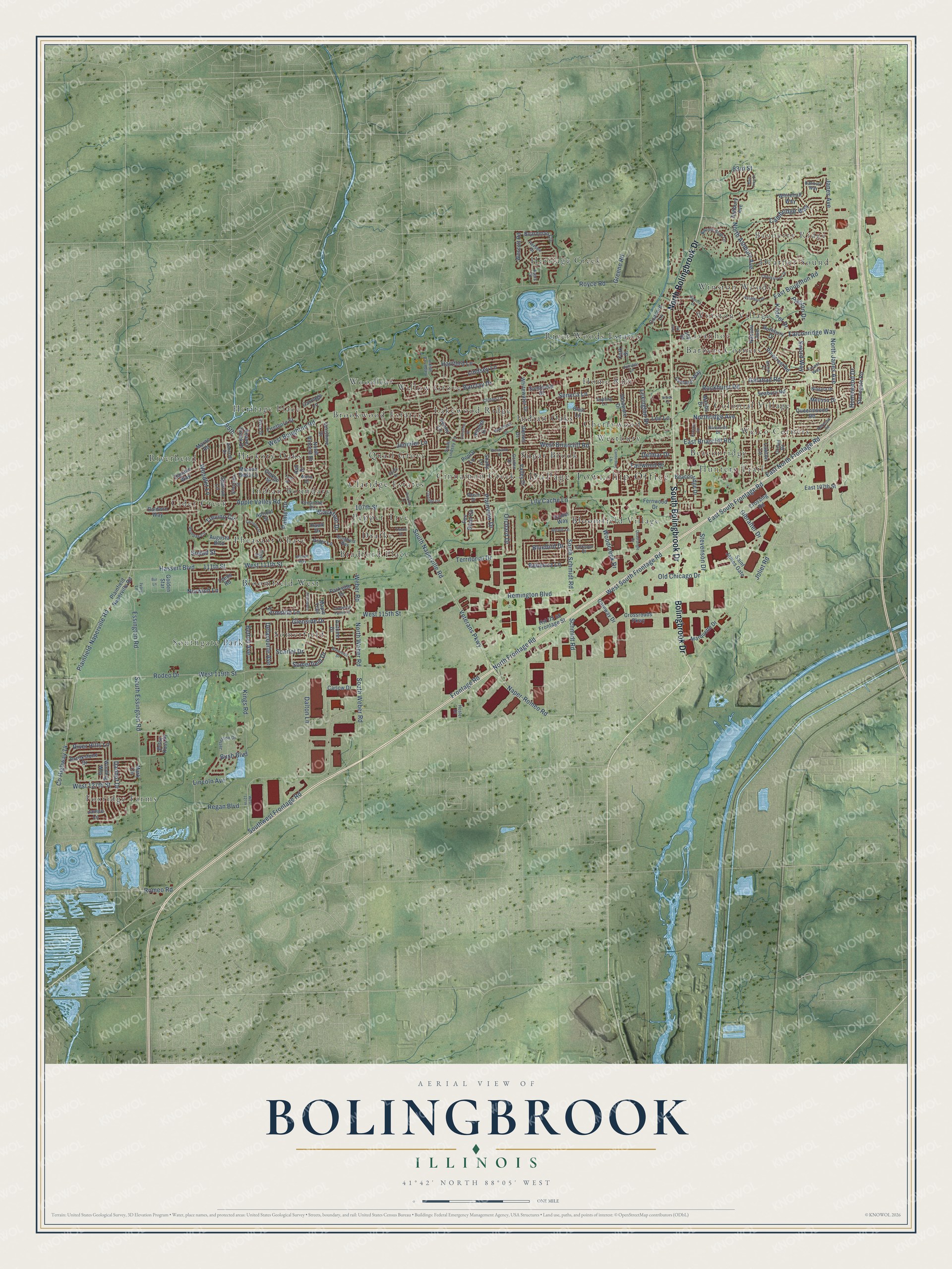
This beautifully detailed map of Bolingbrook, Illinois was created in 2026 using aerial imagery combined with modern topographical, census, street and landmark data. It’s a one-of-a-kind view of Bolingbrook that combines accurate data with a vintage aesthetic. The map shows every building in its true location, many of the roads carry their names, and the shaded topographic relief shows the shape of the land.
Explore an aerial view of Bolingbrook, Illinois
On the map you’ll find DuPage Township Office, Bayberry Ridge, Barbers Corners, Beaconridge, Bloomfield Village, Bloomfield West, Bradford Place, Brookwood Estates, Cherrywood, Cider Creek, Cinnamon Creek, Claridge Estates, and more. If you look closely you can even find your house accurately drawn in its correct location. Zoom in on the preview to look for yours.
Did you know this about Bolingbrook, Illinois?
From the Encyclopedia of Chicago: "The opening of Interstate 55 in the early 1960s made the farm fields of northern Will County more accessible to Chicago, attracting developers and residents."
Take a closer look at the Bolingbrook map
Street and place names on the Bolingbrook, Illinois map
These names are printed on the map of Bolingbrook, Illinois.
Places: DuPage Township Office, Bayberry Ridge, Barbers Corners, Beaconridge, Bloomfield Village, Bloomfield West, Bradford Place, Brookwood Estates, Cherrywood, Cider Creek, Cinnamon Creek, Claridge Estates, Colonial Village, Drafke, Foxridge Farms, Heather Sound, Heritage Creek, Heritage Place, Hickory Oaks, Home Run, Hunters Trail, Indian Boundary, Indian Oaks, Ivanhoe, Lakewood Ridge, Pepper Tree, Pheasant Chase, Quail Grove, River Woods Estates, Riverbend, Somerfield, Southgate Park, Sugar Brook, Welco Corners, Westbury, Willow Grove, Winston Village, Winston Woods and Woodleaf.
Streets and roads: South Bolingbrook Drive, Bolingbrook Drive, North Bolingbrook Drive, South Schmidt Road, Joliet Road, South Naperville Road, Veterans Parkway, North Frontage Road, East North Frontage Road, Frontage Road, Remington Boulevard, Naper-Romeo Road.
More street names, A to Z
83rd Street, 95th, 107th Street, 111th Street, Alcott Lane, Apple Valley Road, Appling Lane, Apricot Street, Ashbury Avenue, Ashcroft Drive, Ash Drive, Assembly Drive, Aster Lane, Augusta Boulevard, Autumn Drive, Ayers Street, Baldwin Way, Banbury Way, Barclay Drive, Beaconridge Drive, Beaver Creek Drive, Beech Drive, Bethel Avenue, Betsy Ross Place, Blackfoot Drive, Blackhawk Lane, Blair Lane, Bluebird Drive, Boardman Circle, Bonnie Brae Lane, Breeze Way, Brook Court, Brookstone Drive, Bur Lane, Bush Boulevard, Cambridge Way, Camelot Way, Canterbury Lane, Carlow Drive, Carolina Street, Carriage Lane, Charlestown Drive, Christine Drive, Claridge Circle, Clifton Lane, Comanche Drive, Concord Lane, County Highway 14, Crossing Road, Crossroads Parkway, Dalton Lane, Danhof Drive, Danube Way, Delacourte Avenue, Delaware Drive, Delmar Drive, Denver Drive, East 107th Street, East Boughton Road, East Briarcliff Road, East South Frontage Road, Enclave Circle, Essington Road, Fairwood Drive, Falconridge Way, Farmside Lane, Fernwood Drive, Firethorn Street, Forest Way, Fox Bend Circle, Galahad Road, Garden Drive, Gateway Drive, Gibralter Drive, Ginkgo Street, Glenside Drive, Golden Star, Grady Drive, Greene Road, Hartford Lane, Hassert Boulevard, Hawk Drive, Hillside Drive, Homewood Drive, Hosler Drive, Hst US 66 Frontage Street, Ivory Lane, Janes Avenue, Janice Lane, Jefferson Drive, Jennifer Lane, Joy Drive, Julie Road, Juniper Lane, Kildeer Drive, Kings Road, Lakewood Farms Drive, Lang Drive, Larkspur Drive, Lawton Lane, Leeds Road, Lee Lane, Lexington Drive, Lily Cache Lane, Lincoln Avenue, Lindsey Lane, Malibu Drive, Maple Trail, Marian Court, Mark Circle, Marne Road, Maroon Bells Lane, Marquette Drive, Melissa Drive, Mesa Drive, Nassau Avenue, Niagara Drive, North Ashbury Avenue, North Janes Avenue, Northridge Avenue, North Vincent Drive, North Weber Road, Norwich Lane, Old Chicago Drive, Orchard Drive, Oxford Road, Palmer Drive, Pamela Drive, Pampas Circle, Parkside Drive, Paxson Drive, Penny Lane, Picardy Lane, Pinecrest Road, Plainfield-Naperville Road, Plainfield Naperville Road, Plainview Drive, Poplar Lane, Preston Drive, Quadrangle Drive, Queenswood Road, Raider Way, Rain Tree Drive, Rebecca Lane, Redwood Road, Regan Boulevard, River Hills Lane, Riverside Drive, Rockhurst Road, Rodeo Drive, Romeo Road, Rothbury Drive, Royce Road, Saint James Gate, Scarlet Drive, Schmidt Road, Seabury Road, Seneca Lane, Shady Lane, Silverado Street, Snead Street, Somerfield Drive, South Essington Road, South Lindsey Lane, South Weber Road, Southwest Frontage Road, Sparrow Lane, Stevenson Drive, Stonegate Road, Sundance Drive, Sunshine Drive, Sword Way, Territorial Drive, Thistle Drive, Tiger Street, Timberline, Trevino Circle, Valley Drive, Vista Drive, Waterside Drive, Weber Road, Wescott Road, West 111th Street, West 115th Street, West 119th Street, West 127th, West 127th Street, West Boughton Road, West Briarcliff Road, West South Frontage Road, Westwind Drive, Whitehall Way, Whitewater Drive, Winding Way, Wingfield Way, Woodcreek Drive, Woodlet Lane, York Street.
See the Bolingbrook, Illinois map on a wall
The Bolingbrook map as an 18 x 24 inch print in a black frame.

This beautifully detailed map of Bolingbrook makes an attractive addition to your office, library, or den, and it can even be used to teach children the geography and history of the area. It also makes a great gift for anyone with Bolingbrook roots. When you’re done exploring, click here to get your copy of the Bolingbrook map.