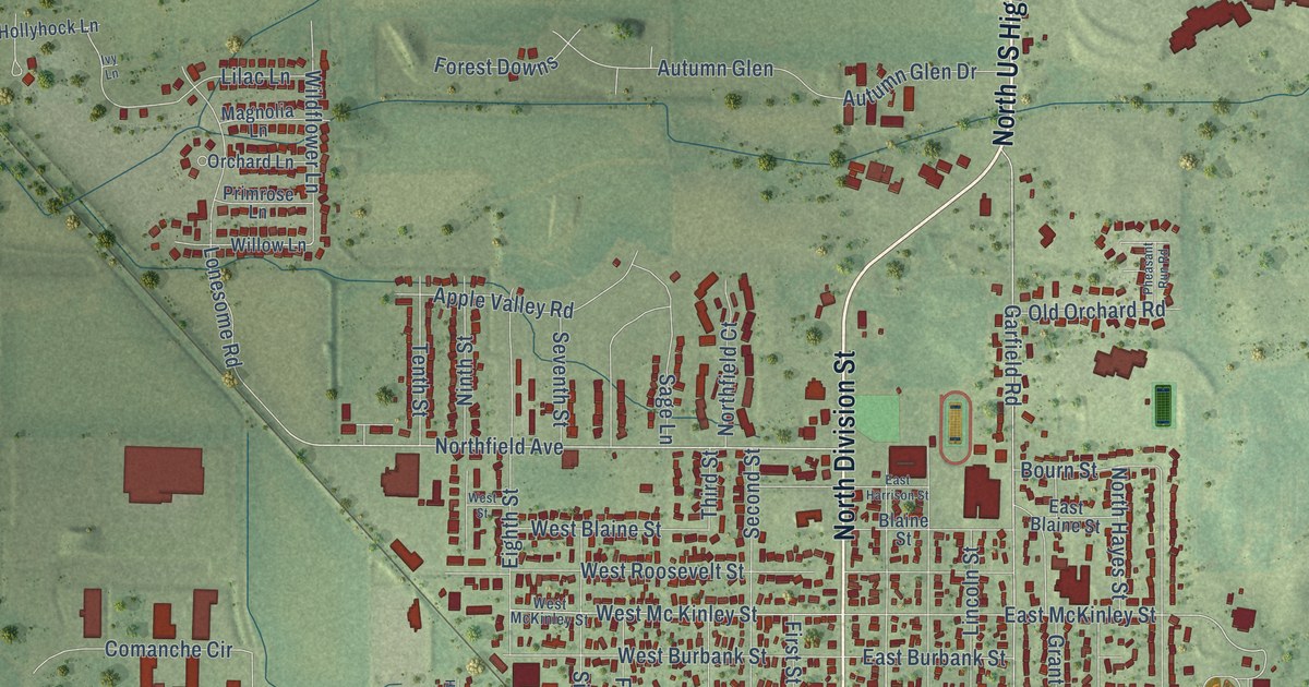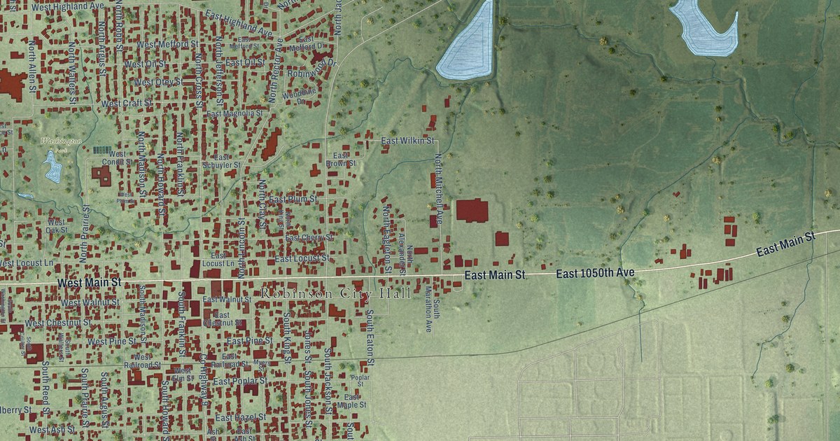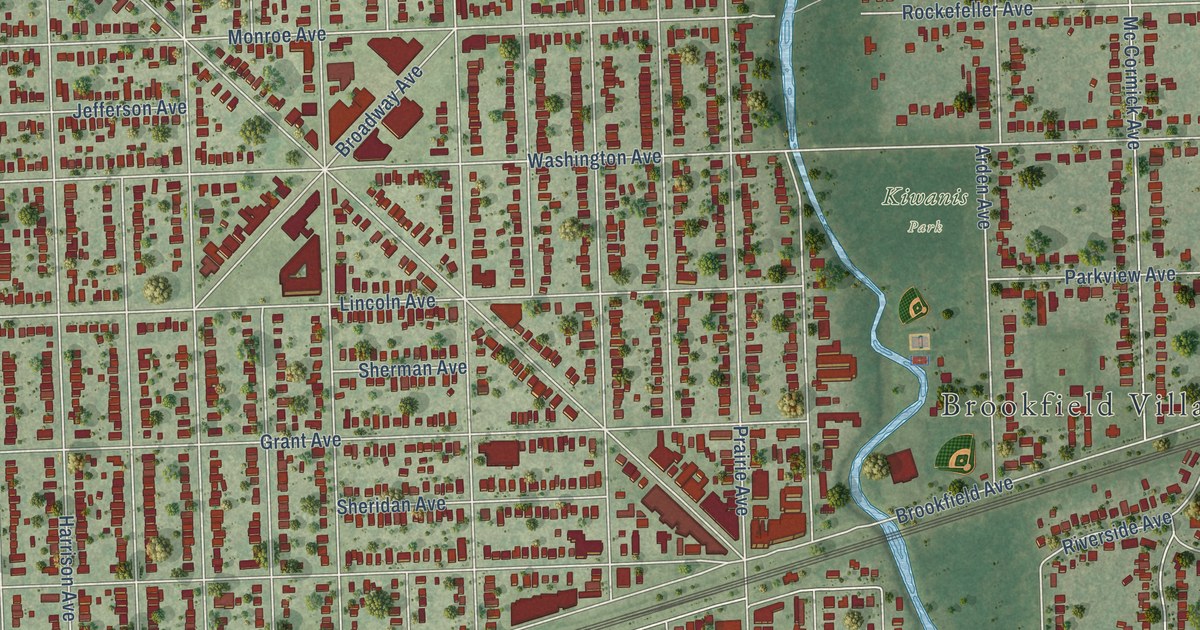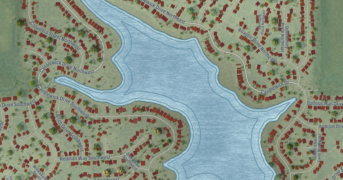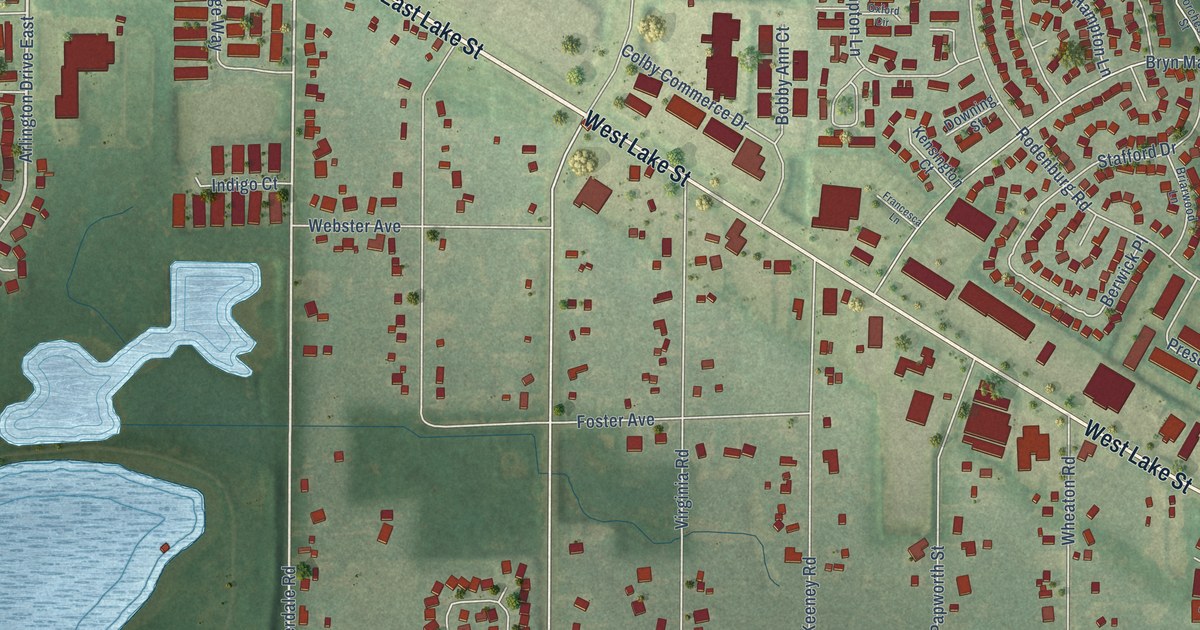
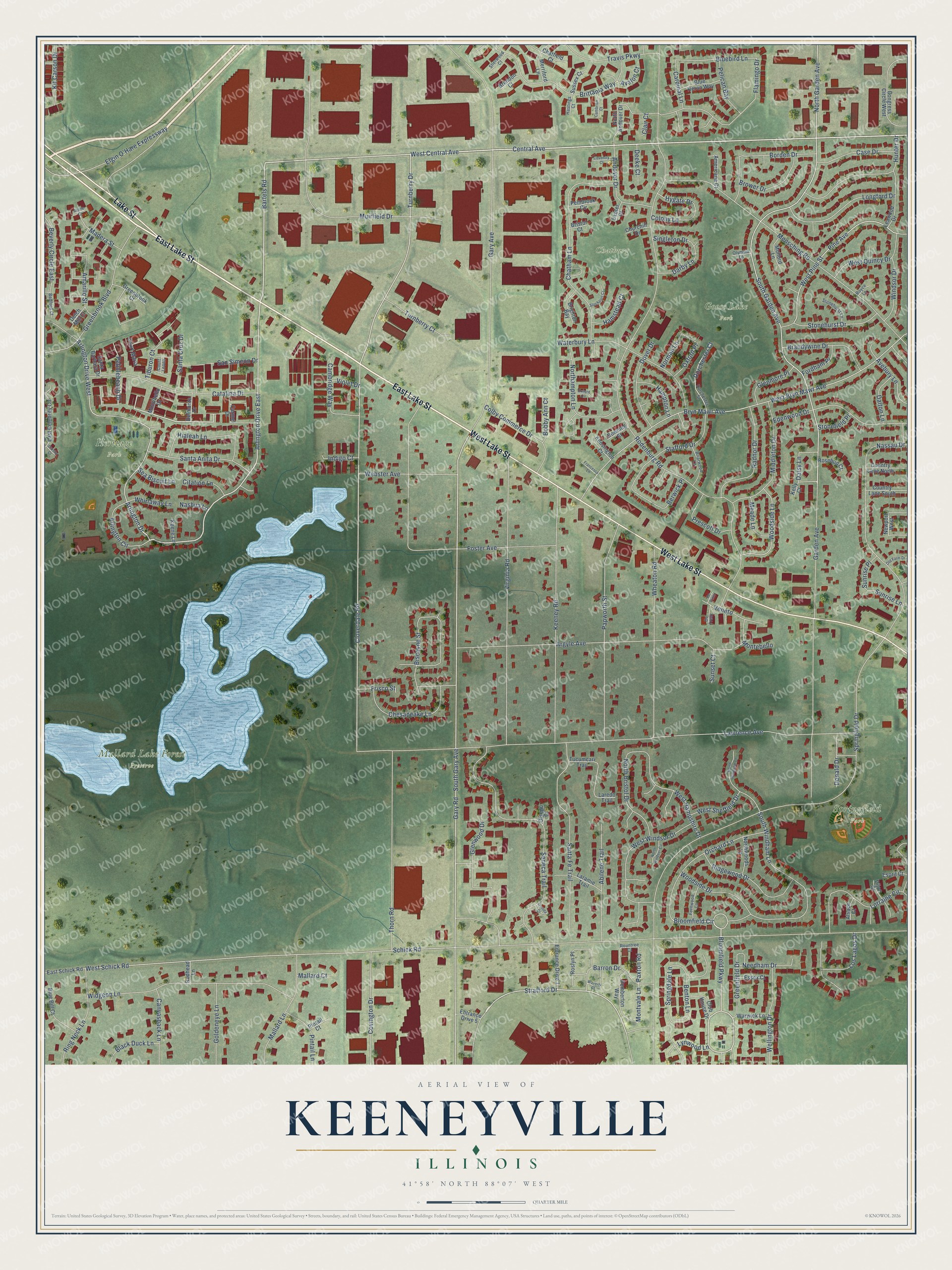
This beautifully detailed map of Keeneyville, Illinois was created in 2026 using aerial imagery combined with modern topographical, census, street and landmark data. It’s a one-of-a-kind view of Keeneyville that combines accurate data with a vintage aesthetic. The map shows every building in its true location, many of the roads carry their names, and the shaded topographic relief shows the shape of the land.
Explore an aerial view of Keeneyville, Illinois
On the map you’ll find Goose Lake Park, Heritage Park, Mallard Lake Forest Preserve, Springfield Park, and Chatburg Park, along with East Lake Street, West Lake Street, Lake Street, Central Avenue, West Central Avenue, Bartels Road, Bloomfield Circle, and more. If you look closely you can even find your house accurately drawn in its correct location. Zoom in on the preview to look for yours.
Did You Know?
Keeneyville takes its name from Albert Keeney, an early settler who helped develop the area. In 1986 the Chicago Bears secured the right to buy land here for a new stadium. In the end the team stayed at Soldier Field.
Take a closer look at the Keeneyville map
Names on this map
These names are printed on this map.
Places: Goose Lake Park, Heritage Park, Mallard Lake Forest Preserve, Springfield Park and Chatburg Park.
Streets and roads: East Lake Street, West Lake Street, Lake Street, Central Avenue, West Central Avenue, Arlington Drive East, Bartels Road, Bloomfield Circle, Bloomfield Parkway, Stratford Drive, Turnberry Drive, Arlington Drive.
More street names, A to Z
Abilene Trail, Alpine Court, Alsace Court, Amarillo Street, Americana Court, Andover Drive, Argyle Avenue, Arlington Circle, Arlington Drive West, Avalon Court, Avebury Lane, Barron Drive, Bedford Court, Benton Lane, Berwick Place, Beverly Circle East, Biscayne Street, Black Duck Lane, Blue Bill Court, Bluebird Lane, Blue Heron Way, Bobby Ann Court, Borden Drive, Brandywine Drive, Brendon Court, Briarwood Lane, Brighton Bay, Bristol Court, Brittania Way, Brower Drive, Bryn Mawr Avenue, Cambrian Court, Cambridge Way, Canvasback Lane, Cardinal Lane, Carmel Drive, Case Drive, Catalina Drive, Chatfield Court, Chatham Lane, Chesapeake Lane, Churchill Drive, Citation Lane, Clair Court, Cloverdale Road, Club House Drive, Colby Commerce Drive, Colony Lane, Congress Circle West, Country Lane North, Country Lane South, Court Leona, Court Maria, Coventry Court, Covington Drive, Crosby Court, Daisy Lane, Dalton Lane, Darby Lane, Deeke Court, Delmonte Drive, De Pinto, De Trevi, Dijon Court, Donald Drive, Dorchester Court, Dorchester Street, Dover Drive, Downing Street, Dutch Mill Court, East Celebrity Circle, East Schick Road, Edenwood Drive, Elgin O'Hare Expressway, Entrance Drive 1, Entrance Drive 5, Esprit Court, Essex Court, Exeter Court, Fernwood Lane, Flamingo Drive, Fordham Place, Foster Avenue, Francesca Lane, Frisco Street, Garden Avenue, Gary Avenue, Gary Road, Glenmore Place, Glenwood Drive, Goldeneye Lane, Greenbrook Boulevard, Greenbrook Court, Greenfield Drive, Hampton Lane, Hamstead Court, Hastings Court, Hialeah Lane, Hunter Drive, Hygate Drive, Indigo Court, Keene Lane, Keeney Road, Kelly Court, Kensington Court, Kit Carson Drive, Laramie Trail, Laredo Trail, Lawrence Avenue, Leawood Drive, Longford Drive, Lorraine Circle, Los Lagos Drive, Lynwood Lane, Madera Street, Mallard Court, Mallard Lane, Meade Lane, Mensching Road, Merriford Lane, Middleton Drive, Montebello, Montibello Drive, Montvale Lane, Muirfield Drive, Mulford Lane, Nashua Lane, Nassau Drive, Needham Drive, Newport West, Norman Lane, Northampton Lane, North Andover Drive, North Bristol Drive, North Garden Avenue, North Windham Lane, North Windsor Circle, Northwoods Lane, Old Farm Drive, Olympia Lane, Oneida Court, Orchard Lane, Otsego Court, Oxford Circle, Oxford Place, Papworth Street, Paxton Road, Pebblebeach Drive, Pelican Bay, Pemberton Way, Pembrook Circle, Pine Avenue, Pintail Court, Pintail Lane, Prescott Drive, Radnor Drive, Redhead Lane, Ridgewood Drive, Ring Neck Lane, Rodenburg Road, Rosebud Court, Roslyn Place, Rountree Court, Royce Lane, San Simeon Drive, Santa Anita Drive, Santa Barbara Drive, Santa Cruz Drive, Santa Fe Trail, Schick Road, Sea Biscuit Lane, Seneca Trail, Sherwood Court, Singleton Drive, South Garden Avenue, South Gary Avenue, South Windham Lane, Springdale Lane, Springfield Drive, Stafford Drive, Stockport Court, Stonefield Place, Stonehurst Drive, Stonehurst Lane, Sunrise Lane, Sunrise Place, Sunset Court, Sussex Court, Thorn Road, Tiburon Court, Travis Parkway, Tucumcari Trail, Turnberry Court, Veneto, Violet Drive, Virginia Road, Warwick Lane, Waterbury Lane, Waverly Court, Webster Avenue, Wellington Drive, West Bryn Mawr Avenue, West Hampshire Drive, West Pine Street, West Quincy Drive, West Schick Road, West Sheffield Drive, West Windsor Drive, Wheaton Road, Whirlaway Lane, Widgeon Lane, Windsor Drive, Woodside Drive, Woodside Lane.
See it on a wall
The Keeneyville map as a framed print. Swipe for more.


This beautifully detailed map of Keeneyville makes an attractive addition to your office, library, or den, and it can even be used to teach children the geography and history of the area. It also makes a great gift for someone who left Keeneyville and still calls it home. When you’re done exploring, click here to get your copy of the Keeneyville map.