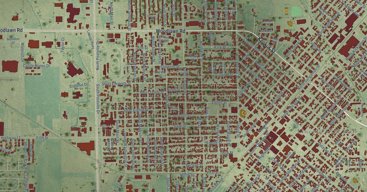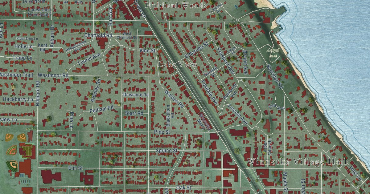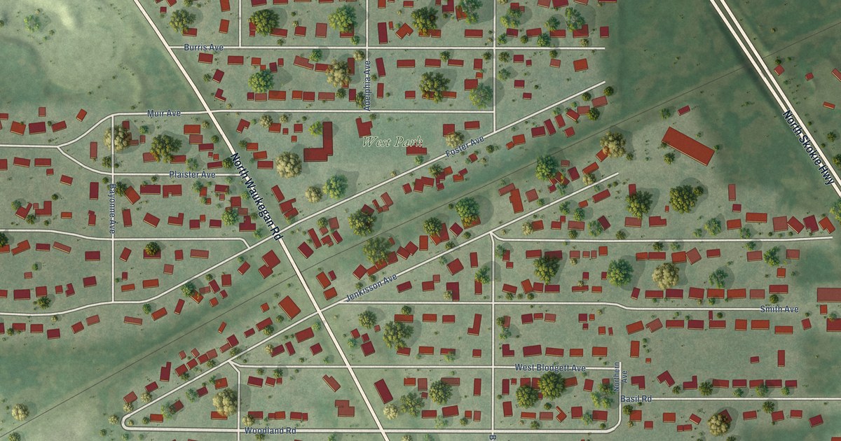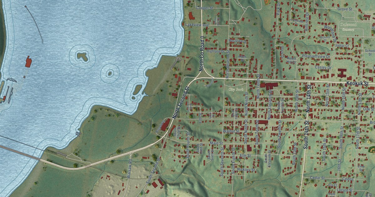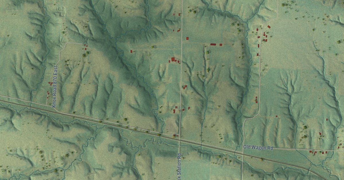
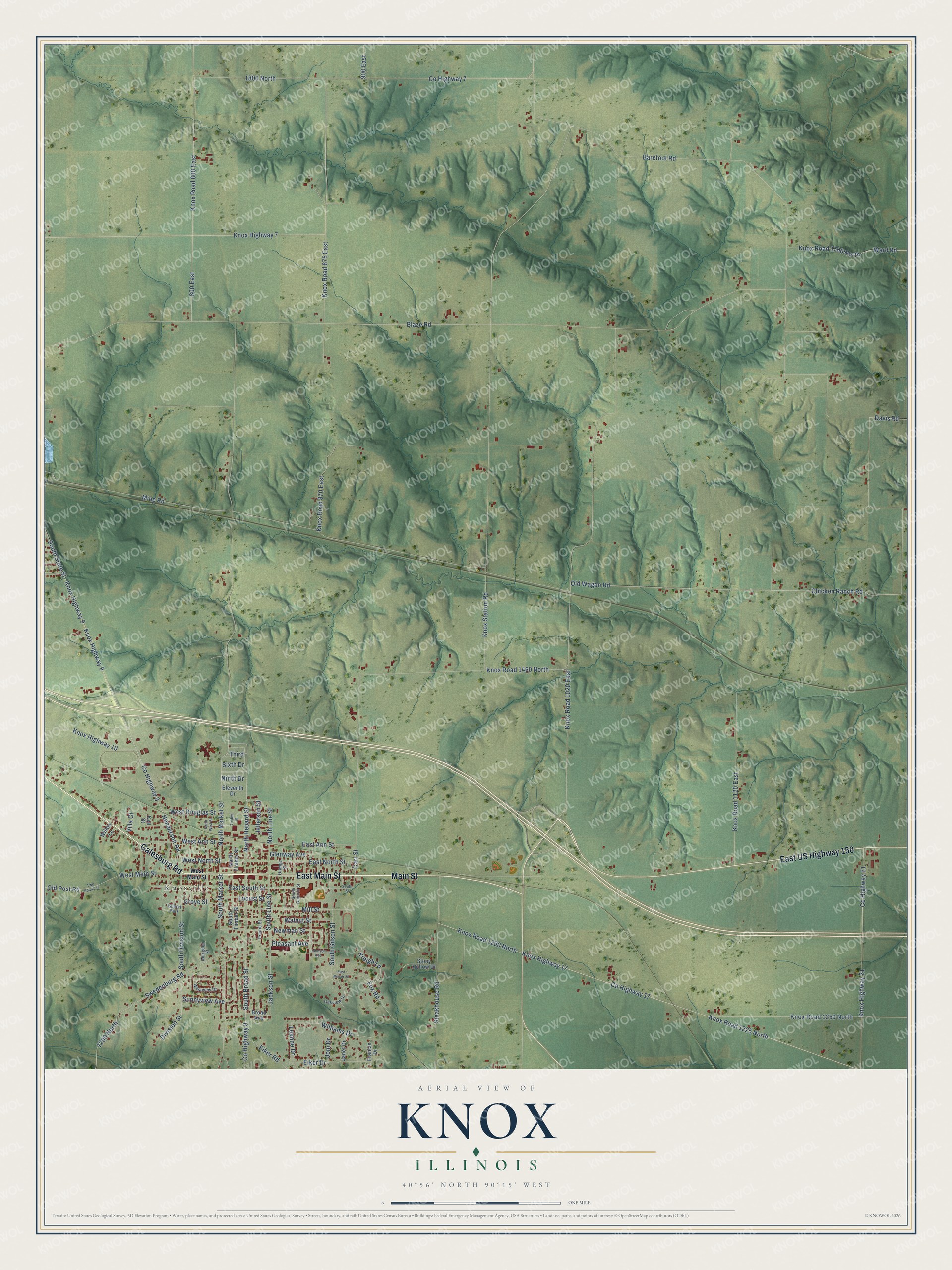
This beautifully detailed map of Knox, Illinois was created in 2026 using aerial imagery combined with modern topographical, census, street and landmark data. It’s a one-of-a-kind view of Knox that combines accurate data with a vintage aesthetic. The map shows every building in its true location, many of the roads carry their names, and the shaded topographic relief shows the shape of the land.
Explore an aerial view of Knox, Illinois
On the map you’ll find Knoxville, along with East US Highway 150, East Main Street, Galesburg Road, Main Street, South Broad Street, Carr Street, County Highway 8, North Market Street, North Hebard Street, East South Street, Chicken Ranch Road, and more. If you look closely you can even find your house accurately drawn in its correct location. Zoom in on the preview to look for yours.
Did You Know?
From the 1877 History of Whiteside County, Illinois: "When he was quite a child his parents moved to Knox county, Ohio, and in 1831 he settled in Marion, now Morrow county, in the State."
Knox is a community in Knox County.
Take a closer look at the Knox map
Names on this map
These names are printed on this map.
Places: Knoxville and Gilbert Park.
Streets and roads: East US Highway 150, East Main Street, Galesburg Road, Main Street, South Broad Street, Carr Street, County Highway 8, North Market Street, North Hebard Street, East South Street, Chicken Ranch Road, Knox Road 1290 North.
More street names, A to Z
800 East, 900 East, 1200 North, 1800 North, Abingdon Street, Barefoot Road, Blaze Road, Broad Avenue, County Highway 7, County Highway 9, County Highway 17, County Highway 21, Davis Road, Division Street, East Ann Street, East Meyer Street, East North Street, Eiker Drive, Eiker Road, Eleventh Drive, Fox Road, Francis Drive, Glenway Avenue, Grove Street, Henderson Road, Jackson Street, Janet Drive, Jefferson Street, Johnson Avenue, Joni Drive, Kell Street, Knox Highway 7, Knox Highway 9, Knox Highway 10, Knox Highway 17, Knox Highway 21, Knox Road 800 East, Knox Road 870 East, Knox Road 875 East, Knox Road 1020 East, Knox Road 1120 East, Knox Road 1225 North, Knox Road 1250 North, Knox Road 1450 North, Knox Road 1700 North, Knox Station Road, Kreigh Lane, Leanne Drive, Locust Street, Mill Street, Mine Road, Newman Street, Ninth Drive, North Line Street, North Timber Street, North West Street, Oakview Drive, Old Post Road, Old Wagon Road, Orange Street, Pleasant Avenue, Prairie Street, Sixth Drive, South Division Street, South Gilson Street, South Line Street, South Market Street, South Ontario Street, South State Street, South Street, South Timber Street, Steakhouse Road, Stony Hollow Drive, Sunnyview Avenue, Swedenburg Road, Third, Timber Street, Twp Road 217, Villa Court, Walnut Street, Ward Road, West Ann Street, West Douglas Street, West Main Street, West North Street, Westview Drive, Williams Drive, Willow Lane.
See it on a wall
The Knox map as a framed print. Swipe for more.


This beautifully detailed map of Knox makes an attractive addition to your office, library, or den, and it can even be used to teach children the geography and history of the area. It also makes a great gift for anyone with Knox roots. When you’re done exploring, click here to get your copy of the Knox map.